

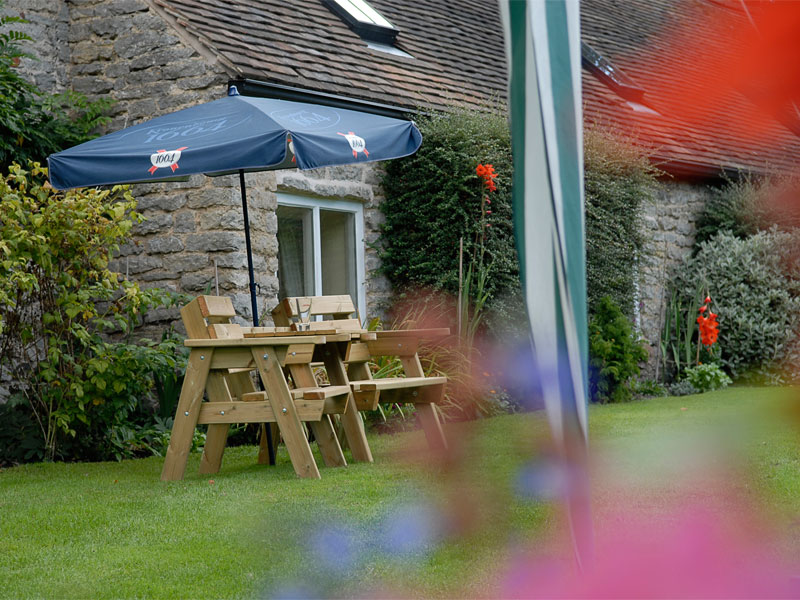
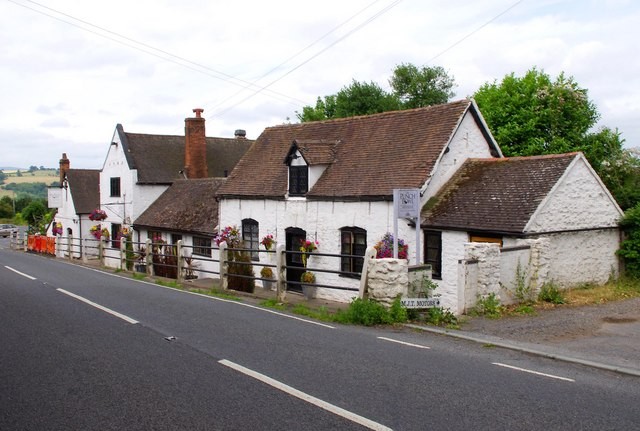
The Punchbowl Inn
The Punchbowl Inn dates from medieval times, its age apparent in low-beamed ceilings, inglenooks…

Bridgnorth
5.5 miles (8.9kms)
Bridgnorth is a remarkable town and you could spend several days just exploring its streets; get a free town map from the tourist information centre on Listley Street (closed Thursday and Sunday) to ensure you don’t miss anything. It really is a very special little place.
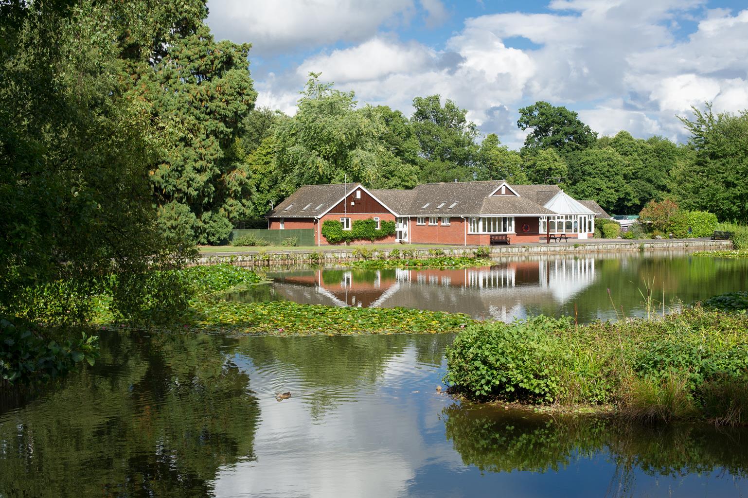
This short walk leaves the town to offer a better sense of its setting. For much of its length, the walk runs alongside the course of Bridgnorth Golf Club. The club is believed to have been founded in 1889, moving to its present site in 1906. Originally, the course had only nine holes and was confined between the Severn Valley Railway and the river. The closure of the line in 1962 presented an opportunity and the present 18-hole course was “played in” 10 years later. You can see the line of the railway continuing as a low embankment at Point 3 on the walk. The embankment is now used by the Mercian Way, part of the National Cycle Network.
This is the first of a couple of encounters with the course of the dismantled Severn Valley Railway. Though it survives as a steam line between Kidderminster and Bridgnorth, the northern part of the line, from Bridgnorth to Shrewsbury, has been lost. While there is occasional speculation about reopening the line from Bridgnorth to Coalport, it’s clear that this would be a very difficult operation. How would the Golf Club members feel, for instance?
The second meeting with the railway’s course, in the depths of Ropewalk Dingle, is much more striking. Here it first enters a deep cutting and then disappears into a dark tunnel. You can’t see very far into the tunnel unless you take a powerful torch, but you can still gain a sense of the engineering effort that was required. Bored through the sandstone bedrock, the tunnel is 550yds (503m) long and runs directly under the medieval High Town. A ventilation shaft was created near the halfway mark, and still opens into a vent on High Street. The southern exit is immediately north of Bridgnorth Station.
Ropewalk Dingle was formerly gardens and an orchard belonging to Severn Cliff House, but had become very neglected. A £10,000 grant enabled Bridgnorth District Council to clear part of the site, upgrade paths and add information boards, but most of the mature trees were left undisturbed as the area is an important roosting site for several species of bat. The name Ropewalk Dingle was selected by public vote.
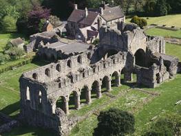
Walk downstream from Severn Park by the river. Pass Bridgnorth Rowing Club, then walk between The Boatyard pub and its beer garden to the bridge. Cross the river and turn right on Cartway, then return to the riverside. Use an elevated walkway on the left while you can. You'll pass the ruins of a medieval Franciscan friary.
After passing the last house, the path continues along the edge of playing fields. Cross a footbridge and continue along the edge of a golf course, crossing another footbridge along the way. Cross a stile at the far end of the golf course and turn left along a field-edge, then cross an embankment at a small car park.
Go straight on along a stony track that passes to the right of Little Severn Hall to meet a lane. Turn left and follow the lane towards Bridgnorth. At the edge of town, turn left along Bramble Ridge. At the end, go forward into Ropewalk Dingle.
The most direct route goes up the path on the right, but it's worth going forward along the lower edge of the green. Don't go down a ramp on the left but continue on the level way, into a cutting and so to the mouth of a tunnel. Double-back a few paces then climb steep steps. At a junction (with more steps above) turn right along a roughly level path to find a signboard near the top of the Dingle.
Continue up the main path to meet a street and turn left. When it bends right, keep straight on along Mold Court to St Leonard's Church. Go either way round the church, then down Church Street, opposite the church door to the High Street. Turn left and walk past the town hall to the end of the High Street.
Continue, almost straight ahead, on West Castle Street. Where it starts to descend, fork left. Go through a grand gateway into the Castle gardens. Walk round the tottering castle ruins (a U-shaped route), leave the gardens and turn right to pass the imposing front of the Church of St Mary Magdalene. Descend steps and turn left on Cliff Walk.
Pass the upper terminus of the cliff railway. A little further on, turn sharp right down a narrow lane with many steps to emerge past the lower terminus onto Underhill Street. Cross the bridge and walk upstream to return to Severn Park.
Easy riverside paths, lanes and urban pavement, 2 stiles
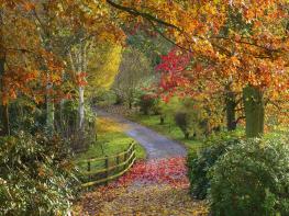
Riverbank, golf course and historic town
On lead at all times
OS Explorer 218 Wyre Forest & Kidderminster
Severn Park, off A442 on east bank of Severn at Bridgnorth
Severn Park, also Listley Street in Bridgnorth
Read our tips to look after yourself and the environment when following this walk.
Perhaps nowhere else in England will you find a county so deeply rural and with so much variety as Shropshire. Choose a clear day, climb to the top of The Wrekin, and look down on that ‘land of lost content’ so wistfully evoked by A E Housman. Peer through your binoculars and trace the course of Britain’s longest river as the Severn sweeps through the county, from the Breidden Hills to Wyre Forest, slicing Shropshire in two. To the north is a patchwork of dairy fields, hedgerows, copses and crops, broken at intervals by rugged sandstone ridges such as Grinshill or Nesscliffe, and dissected by a complex network of canals.
Spilling over the border into neighbouring Cheshire and North Wales is the unique meres and mosses country, with serenely smooth lakes glinting silver, interspersed with russet-tinged expanses of alder-fringed peat bog, where only the cry of the curlew disturbs the silence. South of the Severn lies the Shropshire Hills AONB. It’s only when you walk Wenlock Edge that you fully discover what a magical place it is – glorious woods and unexpectedly steep slopes plunge to innumerable secret valleys, meadows, streams and farmhouses, all tucked away, invisible from the outside world.
Discover more than 15,000 professionally rated places to stay, eat and visit from across the UK and Ireland.
Choose a place to stay safe in the knowledge that it has been expertly assessed by trained assessors.
Search by location or the type of place you're visiting to find your next ideal holiday experience.
Read our articles, city guides and recommended things to do for inspiration. We're here to help you explore the UK.