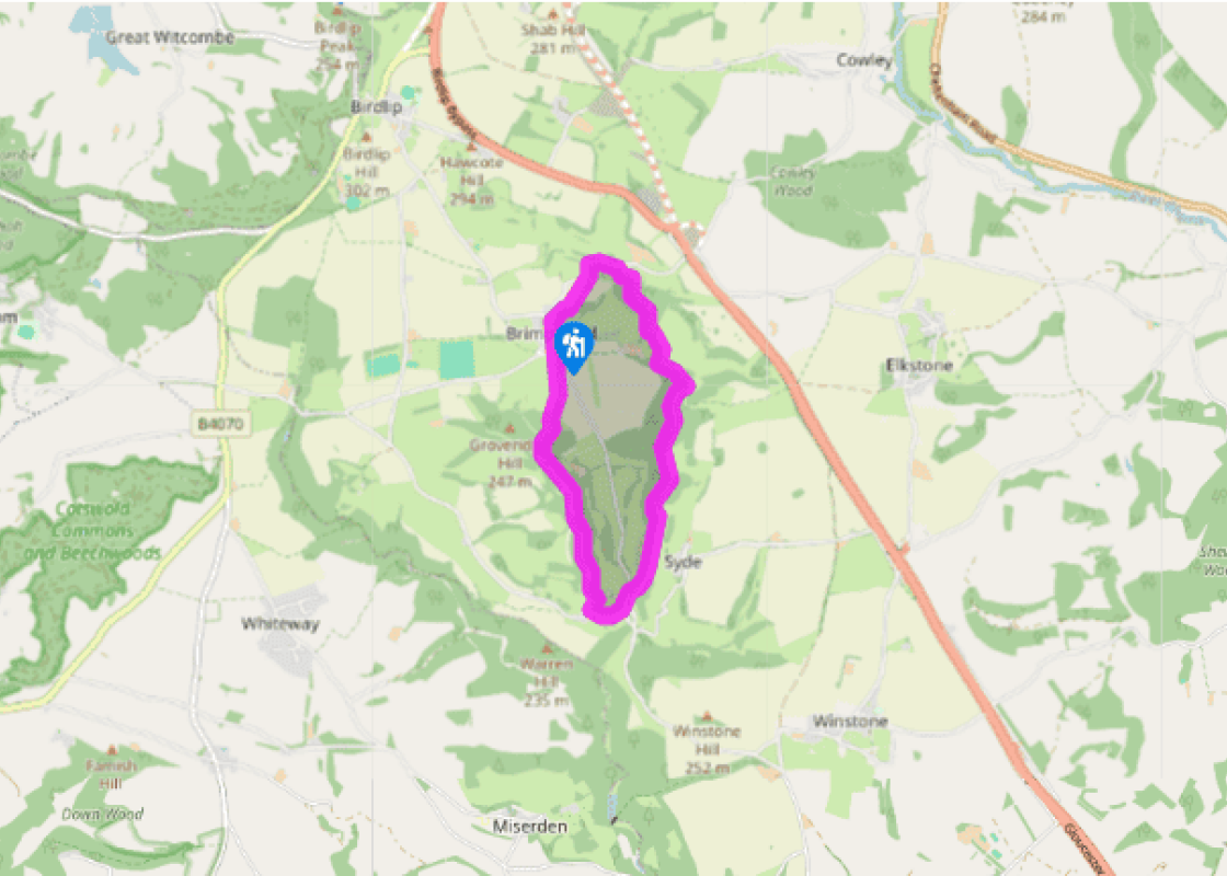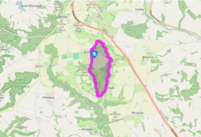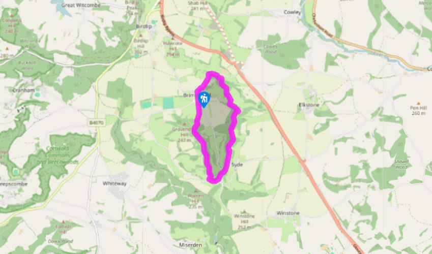
Brimpsfield, Syde and Caudle Green
Recommended by

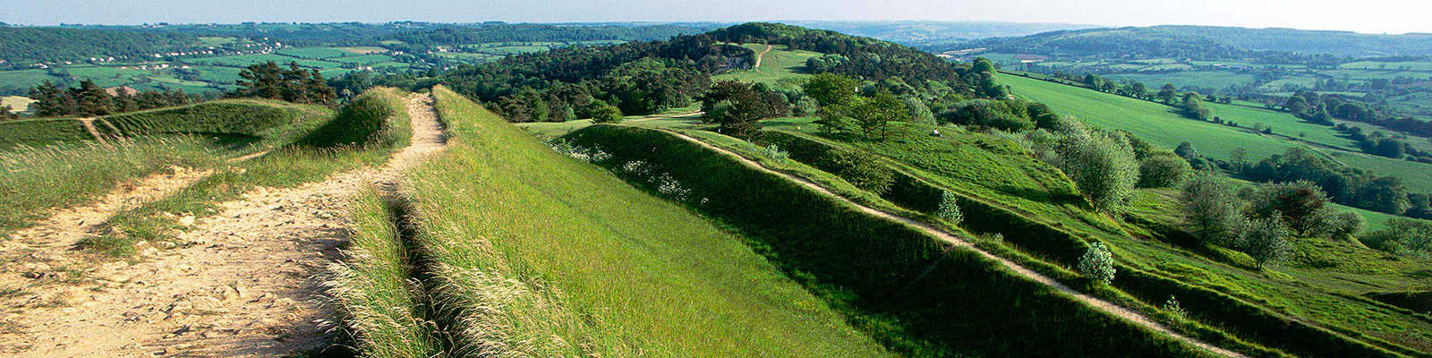
"A walk through a vanished castle and secluded valleys."
Walk directions
From the car park turn left and when the road bends right, by the war memorial, go left and up the path, signed ‘church’, opposite. Before you reach the church, leave the track by bearing left onto a worn path to a stile. In the next field, go slightly right to a corner and then go over a stile onto a road.
Turn right and follow the road down to just before Ivy Cottage near the bottom. Turn right onto a drive. After 35 paces drop down to the left onto a parallel path, which will bring you back onto the drive. Just before another cottage, turn left and go down into some woodland. Keeping a stream on your left, follow a path for 550yds (503m), joining a broader track, until you emerge on to a gravel track.
View all directions
Additional information
Terrain
- Fields, tracks and pavement, many stiles
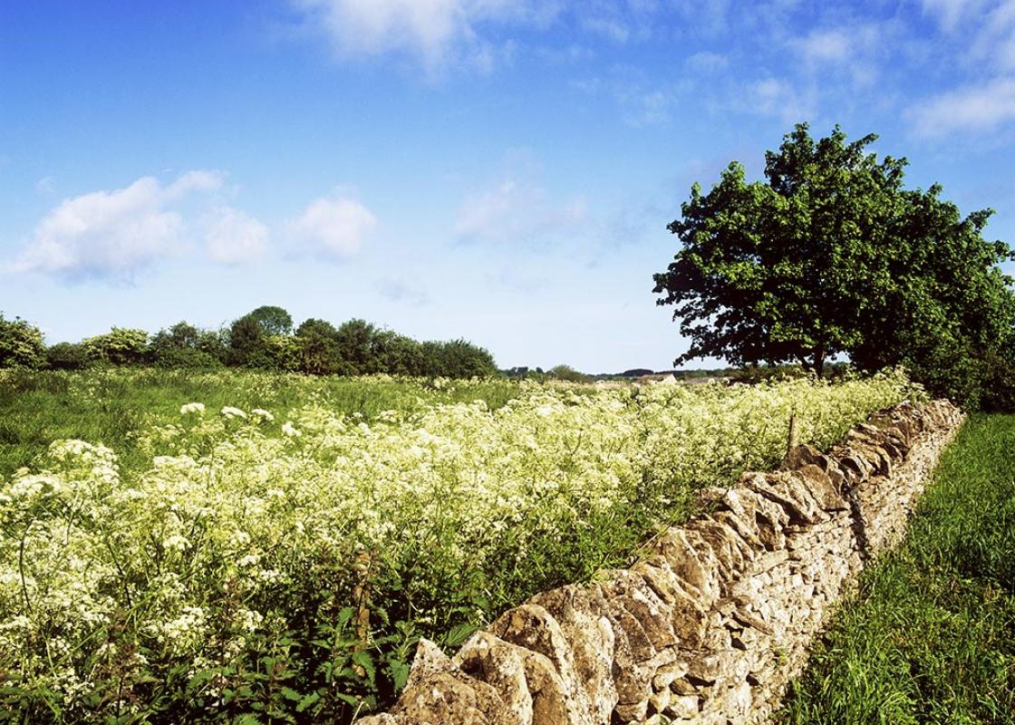
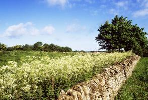
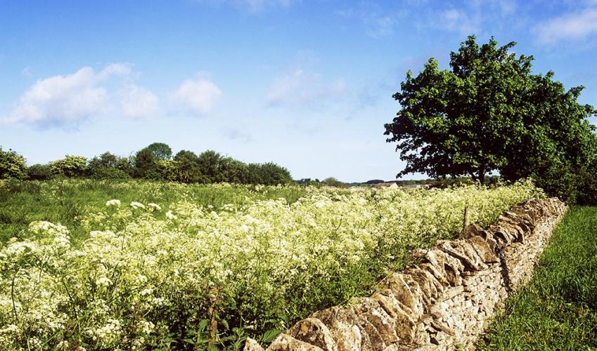
Landscape
- Woodland, steep narrow valleys and villages
Dog friendliness
- Some good long stretches free of livestock
Parking
- Brimpsfield Village Hall car park (in northwest of village)
Toilets en route
- None on route
About the walk
There is something rather poignant about a vanished castle. The manor of Brimpsfield was given by William the Conqueror to the Giffard family. (In early Norman French a gifard was a person with fat cheeks and a double chin.) The Giffards built two castles, the first of wood on another site, and...
Read more

Been on this walk?
Send us photos or a comment about this route. Or recommend a route of your own.

Walking in Safety
Read our tips to look after yourself and the environment when following this walk.

Get an AA guide
Explore our range of ‘50 Walks in’ guides - they’re the ideal companion for a ramble.
Been on this walk?
Send us photos or a comment about this route. Or recommend a route of your own.
Walking in Safety
Read our tips to look after yourself and the environment when following this walk.
Get an AA guide
Explore our range of ‘50 Walks in’ guides - they’re the ideal companion for a ramble.
About the area
Gloucestershire is home to a variety of landscapes, including the Cotswolds, a region of gentle hills, valleys and gem-like villages that roll through the county. To their west is the Severn Plain, watered by Britain’s longest river and characterised by orchards and farms marked out by hedgerows that blaze with mayflower in the spring; beyond the Severn are the Forest of Dean and the Wye Valley.
Nearby places to stay
View all (8)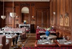


Nearby places to stay
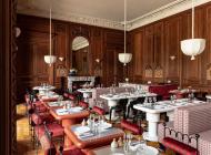
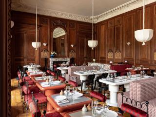
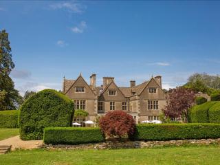
Cowley Manor Experimental
Originally built in 1695 and once owned by English kings, Cowley Manor holds a rich heritage. This Grade II listed property is set on a 55 acre estate and has 36 bedrooms, some set in t...
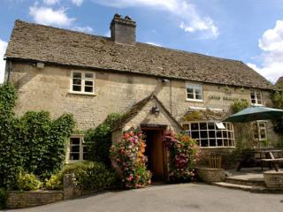
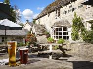
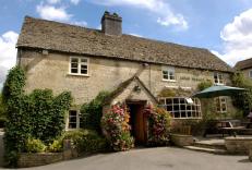
The Green Dragon Inn
The Green Dragon offers all the charm and character of an English country pub combined with a relaxed atmosphere and carefully prepared food made with local produce; dinner is particula...
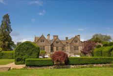
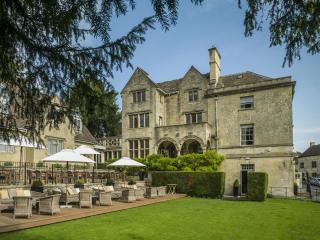
The Greenway Hotel & Spa
The Greenway Hotel & Spa has a wealth of history and is peacefully located in a delightful setting within easy reach of the many attractions of the Cotswolds and also the M5. Bedrooms a...
The Painswick
The Painswick has had a varied history since being built in the late 18th century, including being a vicarage, guest house and hotel. The ornate architecture has been preserved, with th...
Malmaison Cheltenham
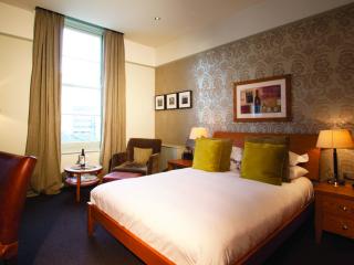
Very centrally located for the town with all popular attractions being just a short stroll away. Bedrooms and bathrooms here offer a wide range of shapes, style and sizes, all being dec...
Hotel du Vin Cheltenham
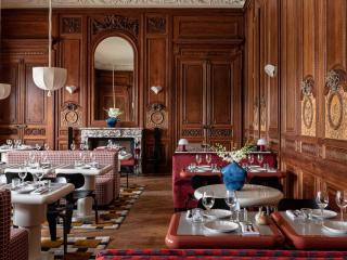
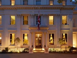
Hotel du Vin Cheltenham, in the Montpellier area of the town, has spacious public areas that are packed with stylish features. The bar and spacious bistro with trademark Hotel du Vin de...
Briarfields Touring Park
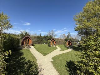
This is a well-designed, level, adults-only park, where the facilities are modern and very clean. There are also three well established glamping pods onsite. The amenity block is very w...
The Crown Inn
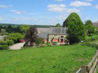
The Crown Inn was a cider house in the 17th century, and guests today will find that roaring log fires, locally brewed ales and traditional, home-cooked food are all on offer. The comfo...
Places to eat nearby View all