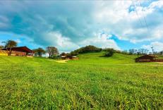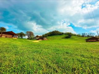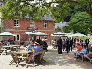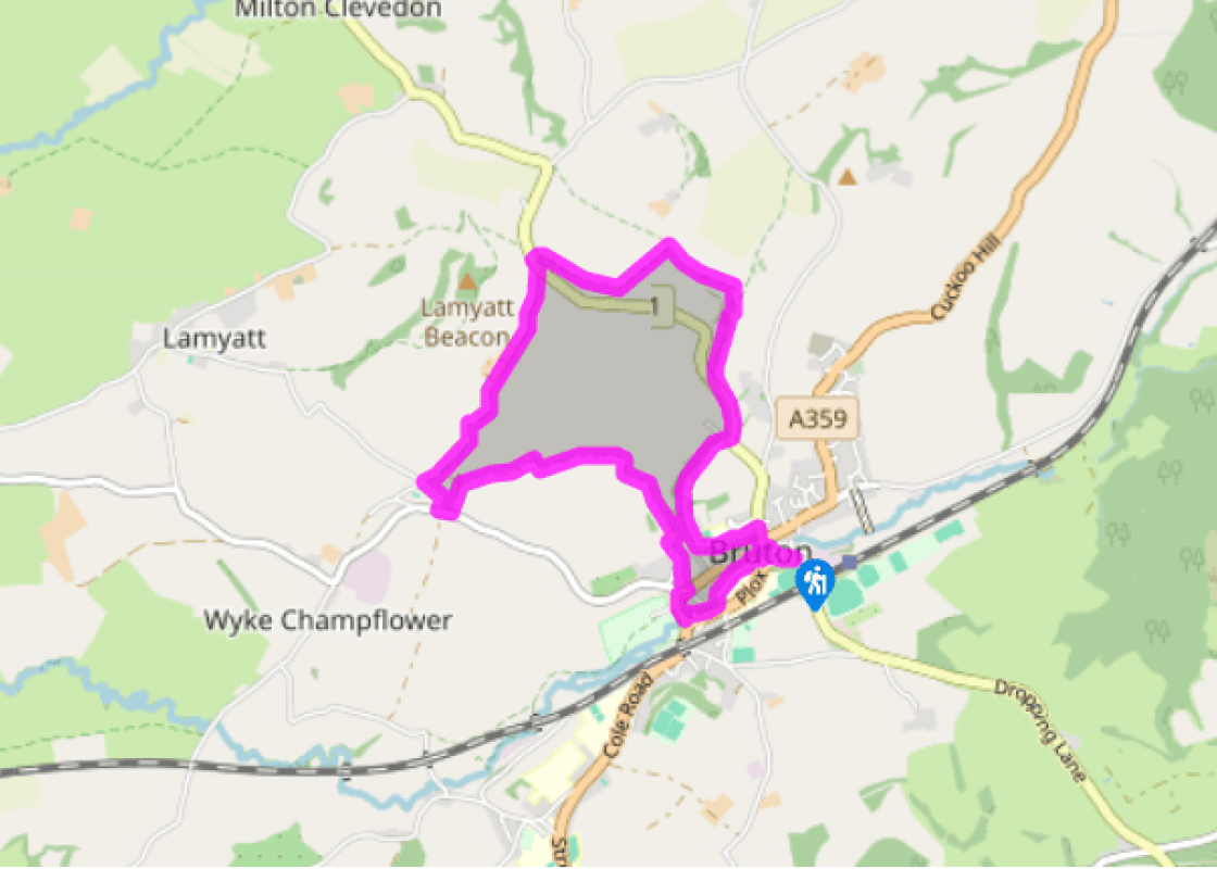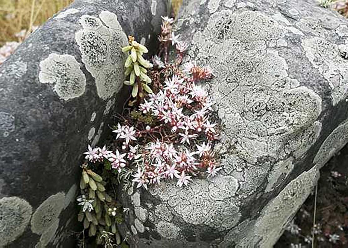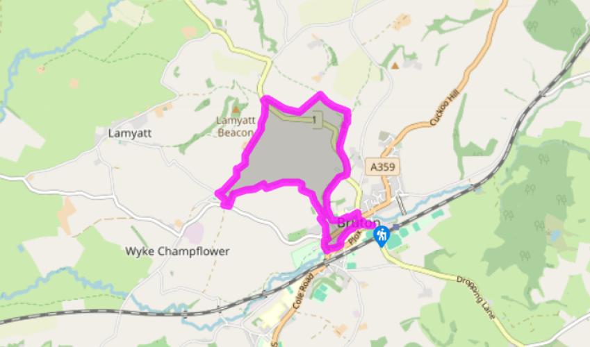
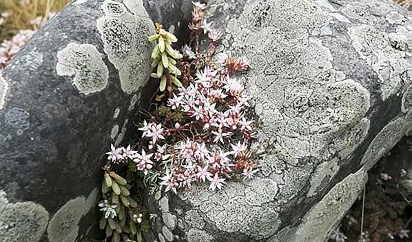
Bruton Combes
With the church on your left and the bridge on your right, head down Silver Street for 30yds (27m) to a small car park in Coombe Street. The old packhorse bridge over the River Brue leads into Lower Backway. Turn left for 350yds (320m), then take a path between railed fences to a footbridge. Turn right along the river to A359.
Turn right over Leggs Bridge and right again into the end of High Street, but at once turn off uphill on to a walled path called Mill Dam. The path becomes a narrow lane; in 150yds (140m) turn left along byway track signed to Creech Hill Lane. Just after a footbridge fork left: the hedged path is fairly steep and muddy. At the top of the combe it becomes a farm track. This bends left (the short-cut track on the right isn't a right of way) and reaches a road.

Been on this walk?
Send us photos or a comment about this route. Or recommend a route of your own.

Walking in Safety
Read our tips to look after yourself and the environment when following this walk.

Get an AA guide
Explore our range of ‘50 Walks in’ guides - they’re the ideal companion for a ramble.
Been on this walk?
Send us photos or a comment about this route. Or recommend a route of your own.
Walking in Safety
Read our tips to look after yourself and the environment when following this walk.
Get an AA guide
Explore our range of ‘50 Walks in’ guides - they’re the ideal companion for a ramble.

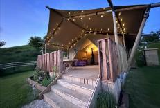
Nearby places to stay
View all (8)