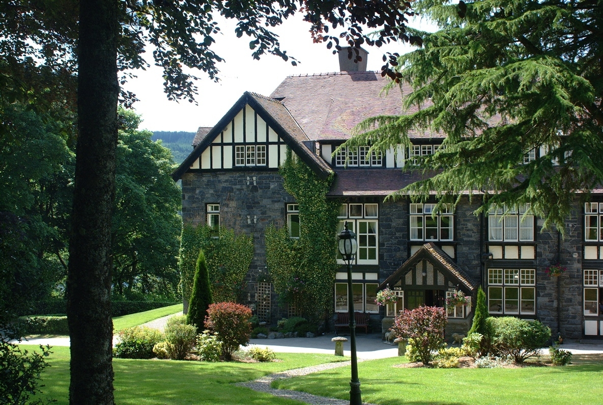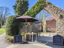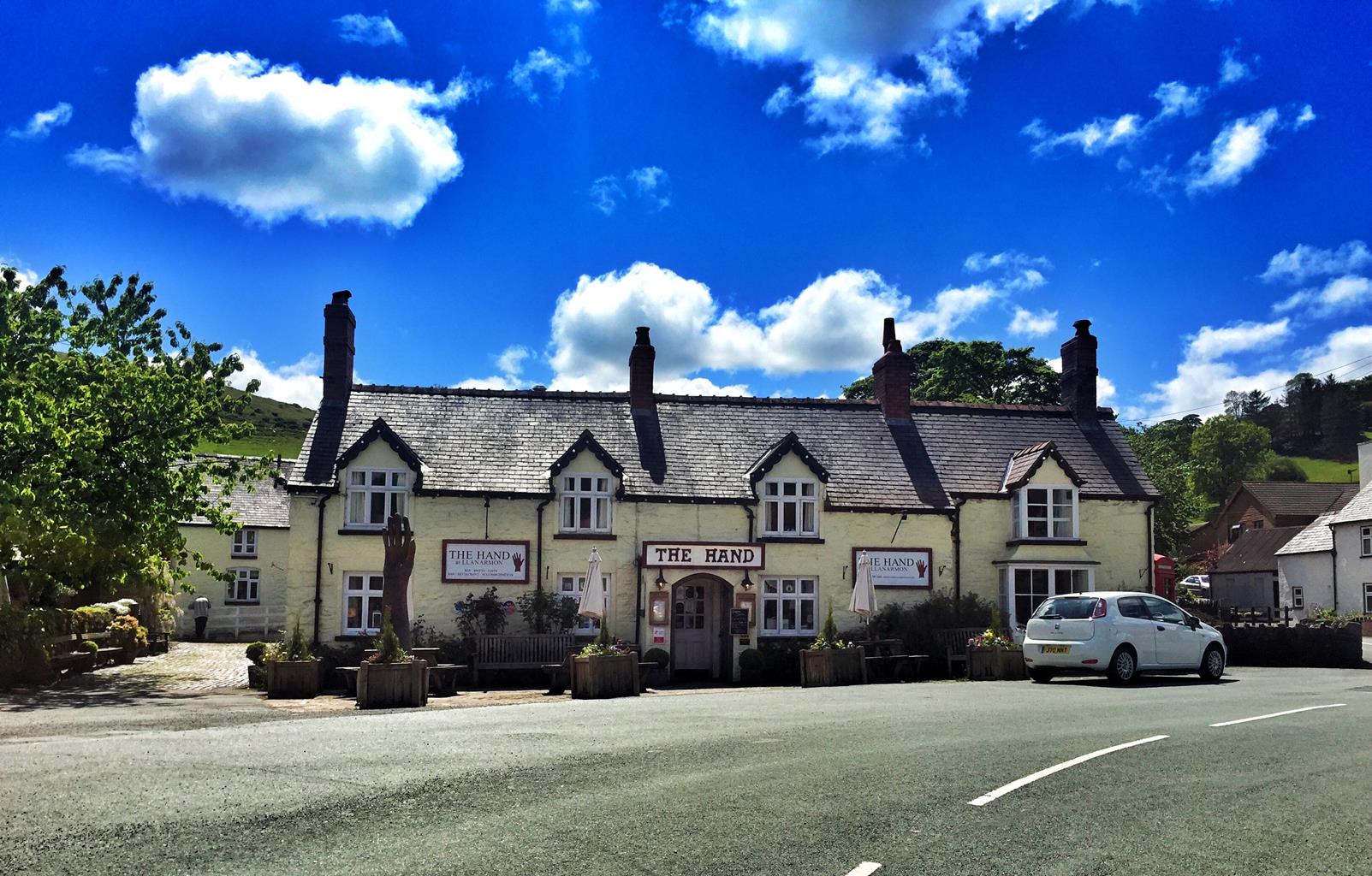
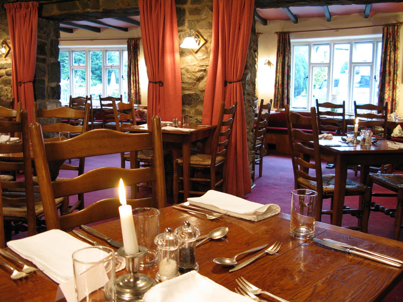


The Hand at Llanarmon
Appointed to a high standard, this inn provides a range of thoughtfully furnished bedrooms, with…

Pistyll Rhaeadr
5 miles (8kms)
'What shall I liken it to? I scarcely know, unless to an immense skein of silk agitated and disturbed by tempestuous blasts, or to the long tail of a grey courser at furious speed...'
George Borrow, Wild Wales,1862
Traveller George Borrow was describing the thunderous falls of Pistyll Rhaeadr. However, he ignored the beautiful mountain valley to the right of the falls, instead choosing to wander off south in search of the site of Owain Glyndwr’s castle at Sycharth. However, that valley, fringed by crag and dappled with heather and bracken, leads to Llyn Lluncaws. Here’s a dramatic scene – a wild Welsh cwm in which the sombre lake lies among frazzled heather and tussocky moor grass.
A peat and slate path beats a tortuous route by the cwm’s cliff edge up onto the ridge, and you discover why you came up here in the first place. You find yourself up in the gods, looking over a magnificent scene where the green cloaked Dee Valley weaves its way though the heather hills of Llangollen and the jagged Aran mountains towards Cadair Idris, the Rhinogs and Snowdon. From the other side, the Tanat Valley scenery of fields and hedges gives way to the little blue hills of Cheshire and Shropshire in England.
The Berwyns are one of the few places in Wales where the cloudberry grows. These shrubs, not unlike a bramble but lacking thorns, cling closely to the ground. You’ll have to be up early to get to the sparse fruits first. They belong to the blackberry family but are orange and taste like raspberries.
At one time everybody assumed that Moel Sych and Cadair Berwyn were, at 2,713ft (827m), jointly the highest Berwyns – the Ordnance Survey (OS) maps that walkers used said so. But everyone who walked the Berwyns looked quizzically across to that little rock peak forming Cadair Berwyn’s south summit – it seemed higher. When the OS checked their large scale maps they found that, at 2,723ft (830m), it indeed was the ‘tops’. Moel Sych is just a broad, flat top, with a cairn for you to pat on your way down to the falls. Amid pretty mixed woodland the peaceful Afon Disgynfa trickles playfully over rocks then, without warning, tumbles off the end of the world. Walkers who have made the ascent look on, amazed, then take the gentler zigzag route down to the same place. Back in Tan-y-Pistyll the café awaits.
From the more easterly (and the smaller) of the two car parks turn right along the road for about 400yds (366m), then turn sharp left to follow a signed grassy track that climbs northwest to enter the cwm of Nant y Llyn. At an obvious fork keep right on a rising track, heading north towards the crags of Cerrig Poethion.
The track becomes a path that traverses hillsides scattered with gorse. Higher up it crosses two streams on the left before reaching Llyn Lluncaws in the moss and heather cwm. Now the path climbs south of the lake and up a shale and grass spur to the left of Moel Sych’s crags. Follow the path along the edge of the crags on the right to reach the col between Moel Sych and Cadair Berwyn. From here climb to the rocky south top of the latter peak. The onward trip to the trig point on Cadair Berwyn’s lower north summit is straightforward but offers no advantages as a viewpoint.
From the south top retrace your footsteps to the col, but this time instead of tracing the cliff edge you now follow the ridge fence to the cairn on Moel Sych summit plateau, crossing a stile just before reaching it.
Return to (but don’t recross) the stile and turn right (south) to follow the fence down a wide, peaty spur cloaked with moor grass, mosses and a little heather. Over a slight rise the path descends again to a gap in the fence before dropping into the high moorland cwm of the Disgynfa. Take a left fork through heather and bracken, and continue to where the path is met by a stony track that has climbed from the base of the falls.
If you want to make a there-and-back detour to the top of the falls, ignore the stony track, and instead go through a gate between woods and follow the path down to the river. If not, descend left along the previously mentioned track, which zigzags down before turning right to head for the Tan-y-Pistyll complex. There’s a path to the bottom of the falls starting from the café. It leads to a footbridge across the Afon Rhaeadr for the best views.
From the café it’s a short walk along the road to the car park.
Well-defined paths and tracks, several stiles
Mountain and moorland
Sheep usually present – dogs should be on a lead
OS Explorer 255 Llangollen & Berwyn
Car park 220yds (201m) before Tan-y-Pistyll farm/cafe, where there's another (pay) car park
At Tan-y-Pistyll pay car park
Read our tips to look after yourself and the environment when following this walk.
Although the collieries and steelworks on which the town of Wrexham prospered are largely things of the past, this bustling town is still the largest in north Wales. The town desperately wants to be a city and has applied for the status three times since the turn of the millennium. A plan is afoot to establish a ‘city region’ encompassing Wrexham, Deeside and Chester.
Heading south, prepare to be gobsmacked when you reach Chirk, where Thomas Telford’s magnificent 10-arched aqueduct was built in 1801 to convey the canal more than 70 feet above the bottom of the valley. What’s more, alongside it is an even taller viaduct, built by Henry Robertson in 1840 to carry the railway. Both were used to carry coal from the once-thriving Flintshire coalfields.
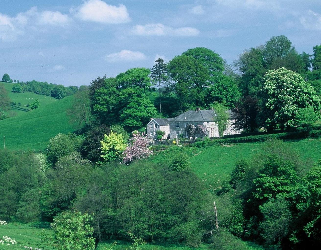
The other main feature of Chirk is its 14th-century castle, which stands proudly overlooking the town and the Ceiriog Valley, an area described by Lloyd George as ‘a little bit of heaven on Earth’. Despite its stunning scenery and easy accessibility, the valley is something of a secret. It lies immediately south of the Vale of Llangollen, and has been dubbed ‘little Switzerland’ for its lush green hills, dotted with small farms.
Discover more than 15,000 professionally rated places to stay, eat and visit from across the UK and Ireland.
Choose a place to stay safe in the knowledge that it has been expertly assessed by trained assessors.
Search by location or the type of place you're visiting to find your next ideal holiday experience.
Read our articles, city guides and recommended things to do for inspiration. We're here to help you explore the UK.