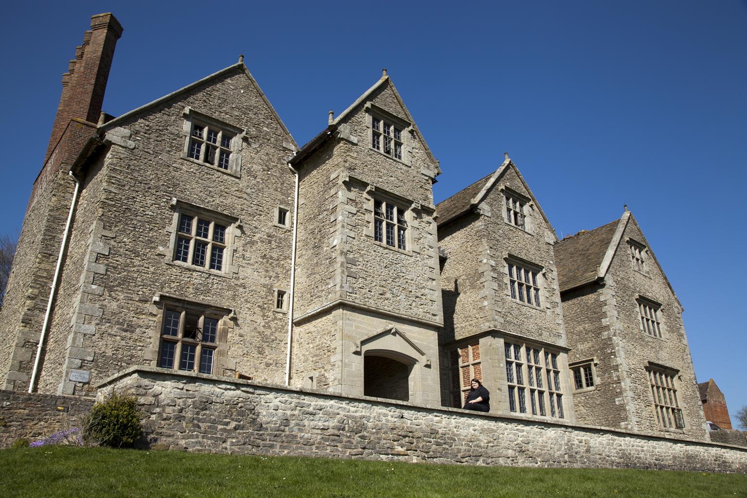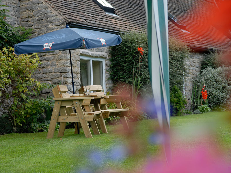

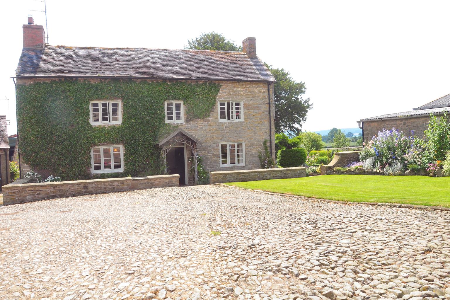
Court Farm Bed and Breakfast
Located in the village of Gretton, this Grade II listed stone-built Georgian house is on a 330-…

Caer Caradoc
6.6 miles (10.6kms)
Caer Caradoc is not the highest hill in Shropshire – most lists put it at no. 6 – but many people rate it the best. It has a compelling outline from any direction; when approaching from the north, for instance, it completely outshines the Long Mynd, though the latter is both higher and far more extensive. The steepness of its slopes makes the summit probably the best all-round viewpoint in the county, and the jagged, occasionally bizarre, rock outcrops which encrust the ridge make great foregrounds for your photos.
Caer Caradoc is, not surprisingly, most often climbed from Church Stretton. There’s absolutely nothing wrong with this approach and it has the great advantage that you can arrive by train, but it’s steep nearly all the way and almost feels too short to do justice to this splendid hill. The alternative approach from Cardington makes the build-up more gradual, and gives you a ‘bonus’ top on the return leg. This is Willstone Hill, which has its own stark outcrop, the Battle Stones, just north of the summit.
The ramparts of a hill fort, around the summit, can be seen from afar when the light is right, and are very obvious as you climb through them on your way to the top. Unlike other hill forts such as Bury Ditches on Sunnyhill, the area is small and the ground rocky and uneven; it seems unlikely ever to have accommodated a permanent ‘civilian’ population but is a commanding defensive position.
Some say it was the last stronghold of Caradoc, whom you may remember from school history lessons as Caractacus (a Latinised form of the name). He is a real historical character, one of the last British chiefs to hold out against the Roman invasion. He was defeated in AD 50 and, though he evaded capture for a while, was eventually betrayed to the invaders and taken to Rome in chains. However, there is no hard evidence to link the Battle of Caer Caradoc with the hill which now bears the same name. There’s even less evidence to explain the name ‘Battle Stones’ for the outcrop on Willstone Hill.
Cardington is a very ancient village, mentioned in the Domesday Book. The general layout of the village can be traced back at least to the 14th century. Its most significant building is the Church of St James, which has a Norman nave. Most of the rest is medieval and even the ‘new’ timber porch dates from 1639.
Turn left out of the car park, then right and left on a street with a 'Sat Nav Error' sign. It becomes a track, passing right of the Old Vicarage. As it bends left go straight ahead into a field. Go through a gate at the end, bear left in the next field then follow the right hand hedge through several fields. Switch sides at a stile and keep on in the same direction to a road.
Go straight across into a short track. When it opens out go left along a ridge with a fence on your left. Follow the ridge over several stiles then bear slightly right to its highest point. Descend to a small gate and turn right on a clear track. Pass an Access Land sign and continue to two fingerposts by a stile. Cross and go straight up a steep bank, soon easing. Continue straight ahead to a field gate and kissing gate below the steep upper slopes.
Go ahead a few paces then turn right above the bracken. Follow sheep trods across the slope, forking left to avoid losing height. Keep traversing round until you meet an obvious path going straight up the ridge. Follow this through the ramparts of the hill fort to the summit.
Descend past gnarled outcrops and then along a more level section to Three Fingers Rock, overlooking Church Stretton. Double back about 40yds (37m) to a metal gate. Follow a faint path down the grassy slope, swing left to a fence corner then continue along a clear green track until this zig-zags down to join a stony track.
Go left for 150yds (137m), then bear right into the gap between two small rounded hills. Find a metal gate in the fence running down the gap, go up the slope a few paces, then bear right on a level sheep trod, which becomes clearer as it curves around the hill. As the slope opens out go right to a metal gate with bridleway markers, then straight ahead up a steep path through bracken to a saddle.
Turn left over a stile and follow the fence along the ridge. Pass a defunct gate then bear left to the summit of Willstone Hill. Return to the fence then follow the path down a steeper section to a cluster of gates. Go through the leftmost of these, skirt round a marshy little dip, then gradually return to the left-hand fence.
Cross a stile in the corner and continue along the fence-line to North Hill Farm. Follow a concrete track downhill and continue down a tarmac lane. Go left at the next junction and soon re-enter Cardington.
Generally excellent though steep in places, many stiles
Steep ridges with rocky outcrops, rolling farmland
Mostly grazing land, limited scope for dogs to run free
OS Explorer 217 The Long Mynd & Wenlock Edge
Cardington Village Hall; if in use for an event, use great consideration when parking elsewhere in the village
None on route
Read our tips to look after yourself and the environment when following this walk.
Perhaps nowhere else in England will you find a county so deeply rural and with so much variety as Shropshire. Choose a clear day, climb to the top of The Wrekin, and look down on that ‘land of lost content’ so wistfully evoked by A E Housman. Peer through your binoculars and trace the course of Britain’s longest river as the Severn sweeps through the county, from the Breidden Hills to Wyre Forest, slicing Shropshire in two. To the north is a patchwork of dairy fields, hedgerows, copses and crops, broken at intervals by rugged sandstone ridges such as Grinshill or Nesscliffe, and dissected by a complex network of canals.
Spilling over the border into neighbouring Cheshire and North Wales is the unique meres and mosses country, with serenely smooth lakes glinting silver, interspersed with russet-tinged expanses of alder-fringed peat bog, where only the cry of the curlew disturbs the silence. South of the Severn lies the Shropshire Hills AONB. It’s only when you walk Wenlock Edge that you fully discover what a magical place it is – glorious woods and unexpectedly steep slopes plunge to innumerable secret valleys, meadows, streams and farmhouses, all tucked away, invisible from the outside world.
Discover more than 15,000 professionally rated places to stay, eat and visit from across the UK and Ireland.
Choose a place to stay safe in the knowledge that it has been expertly assessed by trained assessors.
Search by location or the type of place you're visiting to find your next ideal holiday experience.
Read our articles, city guides and recommended things to do for inspiration. We're here to help you explore the UK.