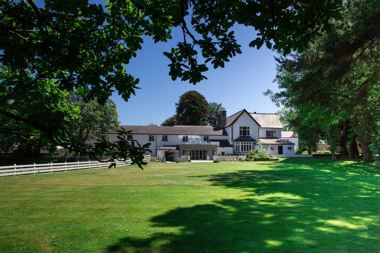


The Parkgate Hotel
Opened in 2021, The Parkgate Hotel is a new luxury hotel that echoes all the elegance and…

From a fairytale castle to a wild, windswept hillside – the new-look valleys at their scenic best.
Castell Coch
5.5 miles (8.8kms)
A wooded hillside visible from the M4 motorway is hardly the place that you’d expect to find a fairy-tale castle, but at the bottom of the Taff Vale, just a few miles north of Cardiff, is one that easily rivals those of Bavaria. Castell Coch, with its red sandstone walls and conical towers, is worth a visit in its own right, but perched on a cliff top amid stunning deciduous woodland, it’s also a great place to start a walk. Conveniently, two waymarked trails run close to the castle and these, together with a labyrinth of forest tracks, provide an invigorating circular route that shows some of the many different faces of the regenerated Valleys.
Every bit as captivating up close as it is from a distance, the majestic Castell Coch, now managed by CADW (Welsh Historic Monuments), was built in the late 1870s on the site of a 13th-century fortress. It had no military purpose whatsoever but was, in fact, a country retreat for the 3rd Marquess of Bute, who at the time was thought to be the richest man in the world and based his empire in Cardiff. Its design, by the architect William Burgess, who also designed St Finbar’s Cathedral in Cork, is pure, unadulterated fantasy, with a working drawbridge and portcullis, three circular towers and a dream boudoir that features a lavishly decorated domed ceiling. The grandest of all the castle’s rooms has to be the drawing room, three storeys high with a ribbed and vaulted ceiling, further decorated with birds and butterflies. The two-storey chimney piece boasts statues of the Three Fates, which show the thread of life being spun, measured and finally cut. Characters from Aesop’s fables are also depicted.
The route away from the woods follows a section of the Taff Trail, a 55-mile (89km) waymarked route that leads from Cardiff Bay to Brecon via the Taff Valley, Llandaff, Pontypridd and Merthyr Tydfil. Most of the trail, including the lower section of this walk, is along disused railway lines, as well as forest tracks and canal paths. From the Taff Trail, this walk follows an airy section of the 21-mile (34km) Ridgeway Walk (Ffordd-y-Bryniau). It climbs steeply on to the narrow ridge of Craig yr Allt, which is a spectacular viewpoint.
Start in the car park at the Forestry Commission sign, head deeper into the car park, and then turn left after 54yds (50m), on to a clear footpath marked by a ‘no horse-riding’ sign. Follow this path, ignoring tracks on both the right and left (two of which are flanked by blue posts), until the posts become blue on your path and you come to a T-junction by a sign forbidding horse-riding. Cross the small brook and turn left to continue steeply down hill, past a turning on the left.
The track eventually swings around to the right and descends to meet the drive for Castell Coch. Turn right up the drive towards the castle.
Walk up to the castle entrance and turn right to walk to a metal information board. Take the path next to this and climb steeply on a good path past a waymark post and through a gap in the fence to a junction of tracks.
Turn sharp left, signposted ‘The Taff Trail’, and follow this broad forest track around the hillside and then down, where it meets the disused railway line close to some houses. Pass through the barrier on the right and follow the clear track for over 1 mile (1.6km) until you pass a picnic area and come to another barrier.
Go through the barrier then, as you come to a disused bridge, turn right over a stile, signposted ‘Glamorgan Ridgeway Walk’. Take this and follow it for about 76yds (70m) and then around to the right. Ignore one turn left and then turn sharp left to zig-zag back across the hillside, where you turn right again. Follow the main path as it zig-zags up the hillside, aiming at the mast and then, as you reach the field edge, bear right once more. This leads up to a post on a narrow ridge where you turn left.
Climb steeply up the ridge and continue, with high ground to your left, until you reach a clear path that leads left by a post, up to the ridge top. Follow this and bear right at the top to walk easily along, with great views. Keep ahead to drop slightly and then bear left on to a broad track that rises up and carries on along the ridge over Craig yr Allt.
Follow it down through the bracken ignoring the turn to right. Bear right onto the track down to a kissing gate that leads on to a tarmac drive. Turn left and continue past some houses on the right-hand side to a junction by The Black Cock Inn. Turn right and climb up to another junction, where you bear right.
Carry on past the golf club, then fork right on to a narrow lane that drops and bears around to the left. Turn right here back to the car park.
Forest tracks, disused railway line and clear paths, short section of tarmac
Mixed woodland and open hillside with views over residential and industrial developments
Care needed near livestock; not allowed in castle
OS Explorer 151 Cardiff & Bridgend
Fforest Fawr car park
None on route
Read our tips to look after yourself and the environment when following this walk.
Northwest of Cardiff lie the valleys associated with south Wales’ coal-mining industry. The county borough of Rhondda Cynon Taff brings together the valleys of Rhondda Fawr, Rhondda Fach, Cynon, Taff and Ely. Three rivers run through the valleys – they are, unsurprisingly, named the Rhondda, Cynon and Taff.
Of the valleys, Rhondda is probably the most famous. Its last pit closed in 1990, changing the face of the area forever. The award-winning Rhondda Heritage Park pays homage to Rhondda’s history and workforce. Based at the former Lewis Merthyr Colliery, which closed in 1983, it evokes the sounds, smells and sights of what life was like in a working coal mine. The underground tour, led by ex-miners, vividly recreates working conditions on a shift – there is even a simulated explosion.
One of the UK’s more unusual new attractions, meanwhile, is further south in the town of Llantrisant. Since 1967 it has been the home of Britain’s Royal Mint, which manufactures all British coins. In 2016 the Royal Mint Experience opened, offering visitors the chance to see behind the scenes and watch coins being minted.
Discover more than 15,000 professionally rated places to stay, eat and visit from across the UK and Ireland.
Choose a place to stay safe in the knowledge that it has been expertly assessed by trained assessors.
Search by location or the type of place you're visiting to find your next ideal holiday experience.
Read our articles, city guides and recommended things to do for inspiration. We're here to help you explore the UK.