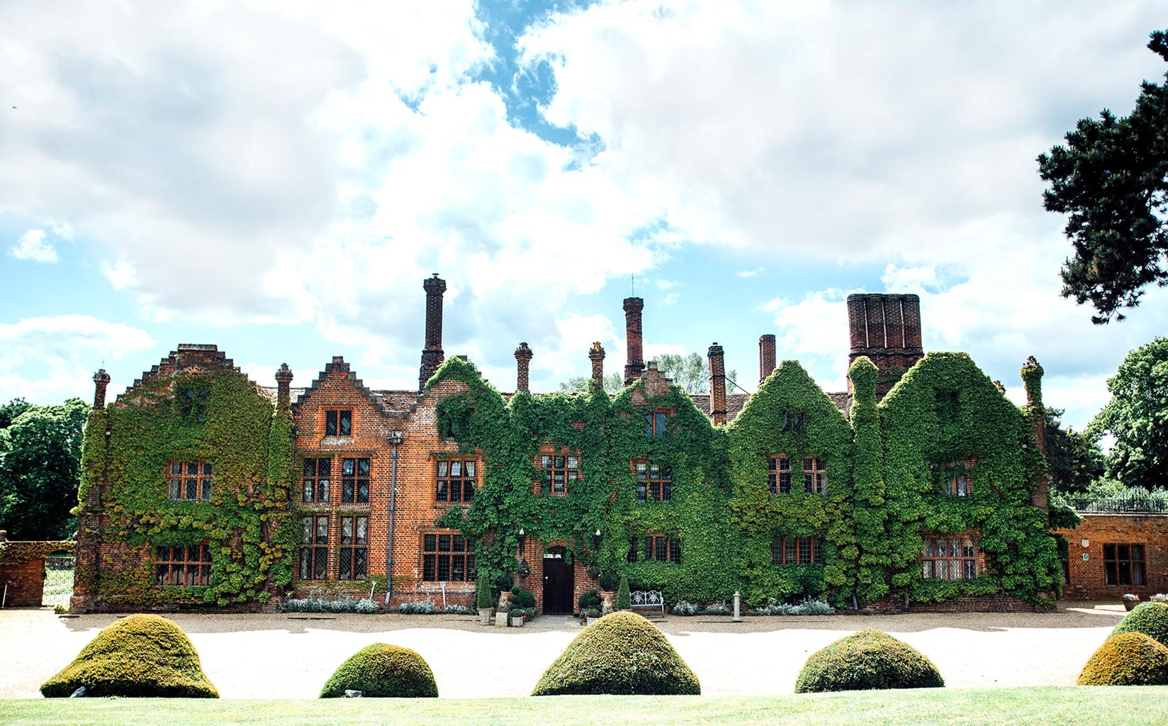
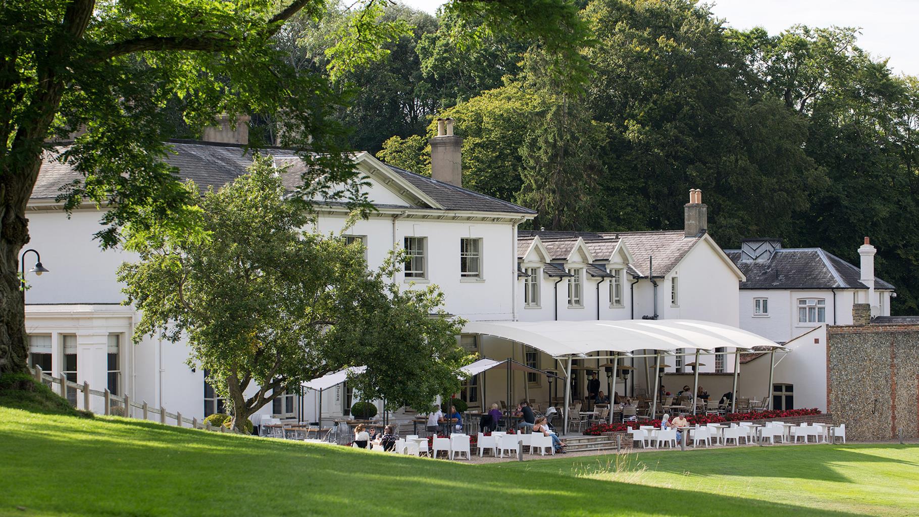
These holiday cottages – Duke and Duchess – are located on the Farm Park. Being just near…
Charsfield – 'Akenfield' then and now

Read the classic book then walk the landscape around a village immortalised in literature.
5 miles (8kms)
About the walk
In 1969, the poet Ronald Blythe produced a book that has come to be seen as a classic account of English village life. In it he recorded the memories of a generation of farm workers and painted an affectionate portrait of a way of life that was disappearing fast. The book was called Akenfield and it was based on the village of Charsfield.
Country Life
Blythe claimed never to have heard of oral history, but that is what Akenfield is. The book comes alive with the voices of the villagers, from the wheelwright and the saddler, to the gravedigger and the district nurse. Farmers, schoolteachers, horsemen and thatchers all gave him interviews and the result is a fascinating collection of tales. We hear from the doctor, the priest and the union leader and the Chairman of the Women's Institute, the magistrate, the vet and the survivors of World War I.
A Typical Suffolk Village
In many ways Charsfield was, and still is, a typical Suffolk village. It is not particularly pretty - in fact, says Blythe, if it was ever threatened by Ipswich overspill it is doubtful whether any preservation society would bother to save it. It has a mix of old cottages and modern council housing. And yet, according to Blythe, with 'its tall church on the hillside, a pub selling local brew, a pretty stream, a football pitch, a school with jars of tadpoles in the window, three shops with doorbells…it is the kind of place in which an Englishman has always felt it is his right and duty to live'. Even as Blythe wrote the book, Charsfield was changing. Mechanisation meant that the blackcurrants no longer had to be picked by hand. Incoming professionals were building new bungalows on the hillsides. Many of the older residents had never left the village except to fight in the war, and a trip to Ipswich or even Wickham Market was once a major event. Now there were people who travelled each day to Ipswich to work, and there was even one businessman who commuted to London. As you walk around the village today on a quiet weekday afternoon, you can be sure that the number has increased. The shops have gone and the fields are mostly empty of workers, though at least the pub and the school have survived. Akenfield is a hymn to the Suffolk countryside and to a way of life that has been lost. Blythe does not romanticise rural poverty. We meet Davie, born in 1887, who cannot read and write and has lived alone in the same house since his parents died when he was ten years old. You would be unlikely to meet anyone like Davie in Charsfield today.
Walk directions
Walk along The Street from the village hall, passing the Three Horseshoes pub. When you reach the Baptist chapel, turn left and walk up Chapel Lane. The road bends left and climbs to a summit. Your uphill walk is rewarded with good views over the village and the tower of St Peter's Church.
Turn right at the end of the lane. After 100yds (91m), turn left on to Magpie Street and stay on this lane for about 0.75 miles (1.2km) passing apple orchards on the left. Just after Pear Tree Farm, go left through the hedge on to an orchard-edge path. Keep to the left-hand side of the field and turn right on a grassy track that runs along the bottom of the field. Keep straight ahead on a paved track that passes between apple, pear, plum trees and blackcurrant bushes before descending to The Hall.
Turn left along the road. For a short cut, you could stay on this road to reach Point 5. For a longer walk, turn right in 150yds (137m) on to a cross-field path. At the far side of the field, keep straight ahead on a grassy track to climb towards a distant line of poplar trees, then continue ahead along the side of the next field.
Turn left past an old barn and fork left by a pond to walk past Moat Hall Barn and along Martins Lane. After 600yds (549m), turn left across a meadow that runs behind a white house. The path turns right, bears left around a field, then turns sharply right as it approaches a line of trees. At the trees, go through the wide gap into the field to your right, follow the left-hand side 20yds to the corner and ease yourself through whichever is the largest gap to reach a field with a huge oak tree at its centre. Turn right here along the edge of the field. In the corner of the field, take the exceedingly overgrown path through the hedge. Turn left and walk to the end of the field. In the hedge at the end there is, to your left, a small gap leading to a footbridge. Head for the right-hand corner of this next field - this is a seldom-used path and in summer you may have to forge a way through the crops - and go through another gate to reach a road.
Turn right along the road, signposted 'Charsfield Street'. After 400yds (366m), turn left on to a wide track that climbs between fields. Turn right on to a surfaced track and stay on this across the fields, passing the small primary school before reaching St Peter's Church. Turn right and walk downhill, taking the first left to return to the start of the walk.
Additional information
Field paths, farm tracks, meadows, lanes
Rolling countryside of arable farmland and orchards
On lead on farmland
OS Explorer 212 Woodbridge & Saxmundham
Charsfield village hall
None on route
WALKING IN SAFETY
Read our tips to look after yourself and the environment when following this walk.
Find out more
Also in the area
About the area
Discover Suffolk
Suffolk is Constable country, where the county’s crumbling, time-ravaged coastline spreads itself under wide skies to convey a wonderful sense of remoteness and solitude. Highly evocative and atmospheric, this is where rivers wind lazily to the sea and notorious 18th-century smugglers hid from the excise men. John Constable immortalised these expansive flatlands in his paintings in the 18th century, and his artwork raises the region’s profile to this day.
Walking is one of Suffolk’s most popular recreational activities. It may be flat but the county has much to discover on foot – not least the isolated Heritage Coast, which can be accessed via the Suffolk Coast Path. Southwold, with its distinctive, white-walled lighthouse standing sentinel above the town and its colourful beach huts and attractive pier features on many a promotional brochure. Much of Suffolk’s coastal heathland is protected as a designated Area of Outstanding Natural Beauty and shelters several rare creatures including the adder, the heath butterfly and the nightjar. In addition to walking, there is a good choice of cycling routes but for something less demanding, visit some of Suffolk’s charming old towns, with streets of handsome, period buildings and picturesque, timber-framed houses.
Nearby stays
Restaurants and Pubs
Nearby experiences
Recommended things to do
Why choose Rated Trips?
Your trusted guide to rated places across the UK
The best coverage
Discover more than 15,000 professionally rated places to stay, eat and visit from across the UK and Ireland.
Quality assured
Choose a place to stay safe in the knowledge that it has been expertly assessed by trained assessors.
Plan your next trip
Search by location or the type of place you're visiting to find your next ideal holiday experience.
Travel inspiration
Read our articles, city guides and recommended things to do for inspiration. We're here to help you explore the UK.


