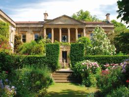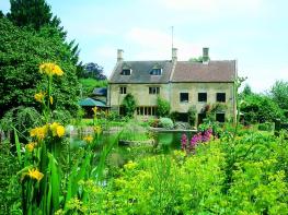


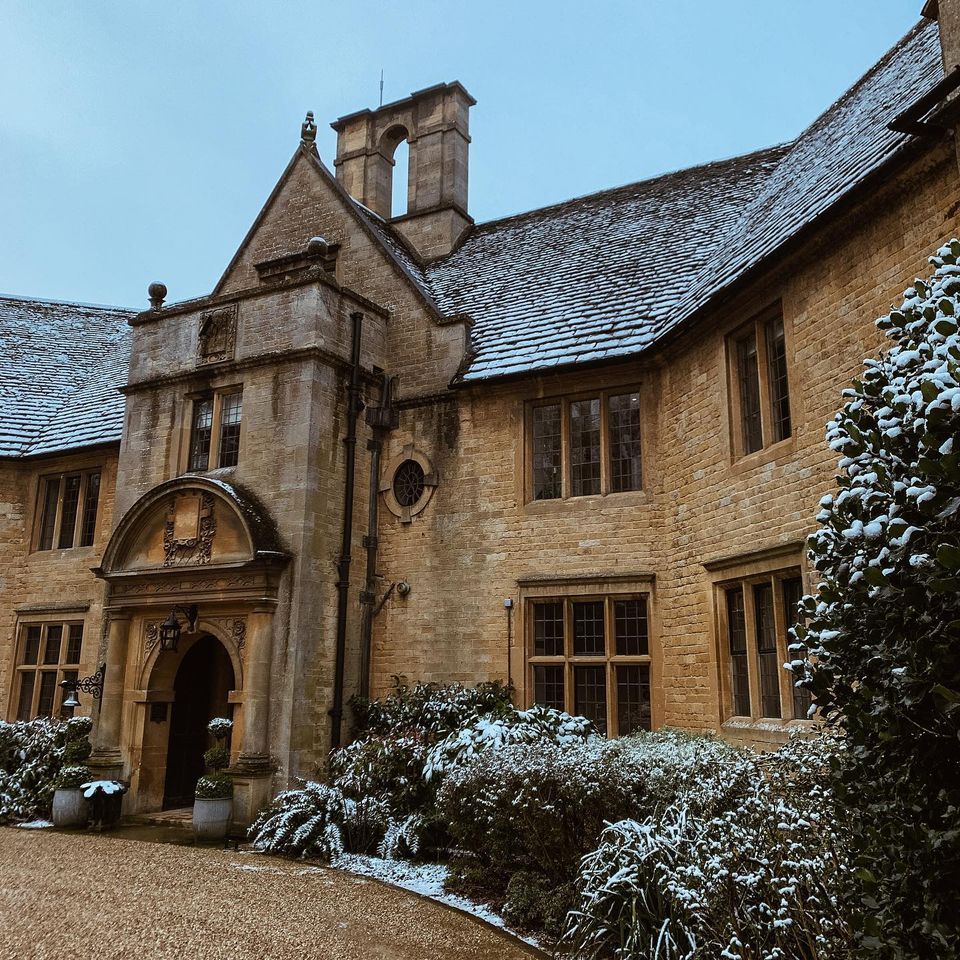
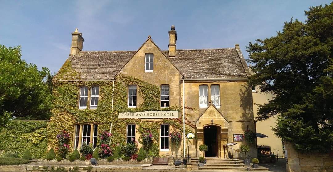
Cotswold House Hotel & Spa
Cotswold House Hotel is a luxury hotel and spa that has been at the heart of Chipping Campden…

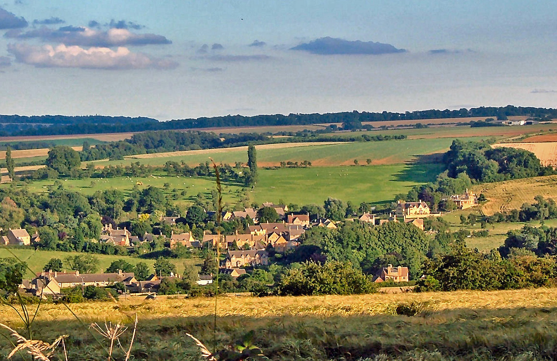
Walk out from the Cotswolds' most beautiful wool town to Dover's Hill, the spectacular site of centuries-old Whitsuntide festivities.
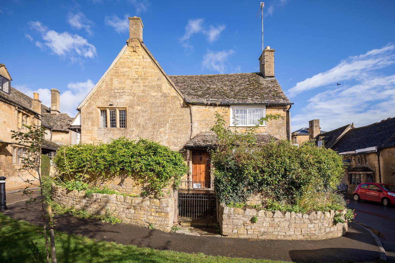
Chipping Campden
4.75 miles (7.7kms)
The Cotswold Olimpicks bear only a passing resemblance to their more famous international counterpart. What they lack in grandeur and razzmatazz, however, they make up for in local passion. Far from being held in a multimillion-pound stadium, the stadium here is a natural amphitheatre – the summit of Dover’s Hill. It’s on the edge of the Cotswold escarpment, with spectacular views westwards over the Vale of Evesham. Established with the permission of James I, the Olimpicks were dubbed ‘royal’ games, and indeed have taken place during the reign of 14 monarchs. Dover’s Hill is named after its founder of the Cotswold Olimpicks, Robert Dover. Dover was born in Norfolk in 1582, educated at Cambridge and became a barrister in London. His profession took him to the Cotswolds, but he had memories of the plays and spectacles that he had seen in the capital.
It is accepted that the first games took place in 1612, but they may well have begun at an earlier date. It is also possible that Dover was simply reviving an existing ancient festivity. Initially, at least, the main events were horse racing and hare-coursing, with the prizes being, respectively, a silver castle ornament and a silver-studded collar. Other competitions in these early games were for running, jumping, throwing, wrestling and staff fighting. The area was festooned with yellow flags and ribbons, and there were dancing events as well as pavilions for chess and other cerebral contests.
The Olimpicks soon became an indispensable part of the local Whitsuntide festivities, with mention of them even being made in Shakespeare’s work. Robert Dover managed the games for 30 years, and he died in 1652. The games continued in a variety of forms throughout the following centuries, surviving several attempts to suppress them when they became more rowdy and seemed to present a threat to public order and safety. They finally became an established annual event once again in 1966. Nowadays, the games are more like a carnival, but they have retained their atmosphere of local showmanship. At the end of the evening’s events, all the spectators, holding flaming torches, file down into Chipping Campden, where the festivities continue with dancing and music along the main street and in the square.
It’s worth lingering in Chipping Campden, before or after the walk. Possibly the most beautiful of all the Cotswold towns, it was once famous throughout Europe as the centre of the English wool trade. A leisurely stroll along its high street is a must. The church, too, is particularly fine, and it’s also worth searching out the Ernest Wilson Memorial Garden on the High Street. Wilson was one of the great plant hunters of the early 20th century.
With your back to the Noel Arms Hotel, turn left and walk past Sheep Street, then turn right by St Catharine’s Church, following the Cotswold Way markers. Where the road bears right, go straight ahead on Hoo Lane. Follow this to some farm buildings, and keep going straight on a continuation path to a road.
Turn left, then very shortly cross the road on a path to the right, still following Cotswold Way signs. Go between hedges to a kissing gate. Through this turn left into open access land and onto Dover’s Hill, with extensive views from the escarpment edge that drops away to your right. Pass a trig point and then further along a topograph. Immediately beyond this, take a gap in the upper scarp slope and follow a grassy ramp down towards the bottom left of the field, passing one kissing gate then exiting via a second lower down.
Cross the road and go through a kissing gate. Turn right, then in the next field go left. After another kissing gate, veer right by a fence through two fields. Go over a grassy strip, then two kissing gates either side of a hedge, and continue downhill across two wide fields. Head steeply down the next field, cross a track just to the right of a house, then find a pair of sleeper bridges with stiles in the lower left corner of the field.
Cross the leftmost one and continue straight ahead under power lines and up the centre of the field to reach a small bridge with stiles. Cross this and turn left, following a rising woodland bridleway alongside the stream. Enter parkland through a gate and continue ahead, keeping just to the right of the woodland. Go through a wide gate and continue uphill to reach a small gate leading to a country lane. Go through this and turn left.
Reach a busier road by Cotstone Lodge. Turn onto this, taking care as the verge is narrow. Immediately after the road curves left, drop to the right and over a stile onto a field path parallel with the road. Turn right at the far end of the field and continue downhill, running parallel to a country lane on a woodland path beyond the field.
Join the lane downhill and roughly 110yds (100m) further on, cross the road to a footpath. Head diagonally down the field to the far corner. Pass through a gateway, cross a road among houses and continue down an alley into Birdcage Walk. Turn right then left to return to the centre of Chipping Campden.
Fields, woodland paths, one busy road, several stiles
Open hillside, fields, woodland and village
Suitable in parts but livestock in many fields, where dogs should be kept on leads
OS Explorer 205 Stratford-upon-Avon & Evesham
Market Square car park; Chipping Campden School car park available at weekends and school holidays only
A short way down Sheep Street
Read our tips to look after yourself and the environment when following this walk.
Gloucestershire is home to a variety of landscapes. The Cotswolds, a region of gentle hills, valleys and gem-like villages, roll through the county. To their west is the Severn Plain, watered by Britain’s longest river, and characterised by orchards and farms marked out by hedgerows that blaze with mayflower in the spring, and beyond the Severn are the Forest of Dean and the Wye Valley.
Throughout the county you are never far away from the past. Neolithic burial chambers are widespread, and so too are the remains of Roman villas, many of which retain the fine mosaic work produced by Cirencester workshops. There are several examples of Saxon building, while in the Stroud valleys abandoned mills and canals are the mark left by the Industrial Revolution. Gloucestershire has always been known for its abbeys, but most of them have disappeared or lie in ruins. However, few counties can equal the churches that remain here. These are many and diverse, from the ‘wool’ churches in Chipping Campden and Northleach, to the cathedral at Gloucester, the abbey church at Tewkesbury or remote St Mary’s, standing alone near Dymock.
Discover more than 15,000 professionally rated places to stay, eat and visit from across the UK and Ireland.
Choose a place to stay safe in the knowledge that it has been expertly assessed by trained assessors.
Search by location or the type of place you're visiting to find your next ideal holiday experience.
Read our articles, city guides and recommended things to do for inspiration. We're here to help you explore the UK.