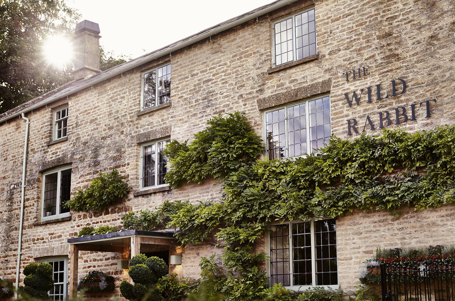


The Kingham Plough
The Kingham Plough is a quintessential Cotswold inn set in the pretty village of Kingham, just…

A walk linking two intriguing villages on the D'Arcy Dalton Way
Cornwell
5.5 miles (8.8kms)
There’s a slightly theatrical air about Cornwell. It huddles on one side of a small valley, smugly holding onto its secrets for, as part of the Cornwell Manor Estate, it is private and inaccessible. The manor itself is carefully screened from prying eyes, except for the lovely stone front, which boldly faces up to the road from behind its high wrought iron gate.
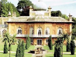
Cornwell’s best known secret is that it was thoroughly remodelled just before World War II by Clough Williams-Ellis (1883–1978). Born in Northamptonshire, Williams-Ellis developed an eclectic design style that mixed architectural details in a particularly flamboyant way. By the time he was working on Cornwell, his own pet project at Portmeirion in North Wales – what he called his home for fallen buildings – was already well established.
The then-owner of Cornwell, Mrs Anthony Gillson, employed Williams-Ellis to modernise the village, but also to create the magnificent terraced gardens at the manor, along with building alterations. His influence may be clearly seen on the village hall (originally the school), with its bowed end and eccentric chimney stack-cum-bellcote. The little church of St Peter remained untouched at this time, though the handsome wooden candelabras are attributed to the style of Clough Williams-Ellis. It dates from Norman times, and it is said that a village once surrounded the church, but disappeared during the plague years.
In direct contrast to Cornwell, Churchill’s attractions are up-front and open to view. The tower of All Saints’ Church dominates the skyline for miles around, and if it looks familiar, that’s because it’s a scaled-down model of the tower of Magdalene College, Oxford. As the choristers of that famous establishment sing from their tower to greet the dawn on May Day, so local choristers gather at the top of All Saints’ to do the same. The church was built in 1826 by James Langston, a mover and shaker in the village, and it is he who is affectionately remembered with the large and elaborate fountain next door. Churchill boasts two famous sons. The first is Warren Hastings (1732–1818), who rose to become Governor-General of India, and lost his fortune in successfully defending himself against charges of cruelty and corruption. The second is William Smith (1769–1839), who produced the first geological map of England.
Leave the lay-by and turn left – walking first downhill and then uphill through the hamlet. Pass a farm to your right and then take a right turn, signposted ‘D’Arcy Dalton Way’. Where the track veers left, keep ahead, beside a fingerpost. Walk down an orchard, bearing left. Go through the hedge at the corner, and through a metal gate on your left. Turn right and walk downhill. Go though a kissing gate and follow the path towards St Peter’s Church.
Go through a gate into the churchyard. Pass the church, and leave via another gate. Walk straight ahead down the hill, cross the bridge at the bottom and go up to the gate. Turn right along the road, passing Cornwell Glebe. Bear left along the road and on past a left turn for Salford.
Turn right along a bridleway, signed ‘Kingham’. Follow this for 0.5 miles (800m), go through a kissing gate on the left and walk ahead down the field edge. Cross a footbridge, go through a gate, and follow the path diagonally right. Cross another footbridge and bear right along the stream. Soon you need to bear left and go through a gate. Cross the track and a footbridge opposite, and bear diagonally right across the field corner. Cross a footbridge in a hedge and continue on through two fields.
Cross a stile into the woods. Follow the path down, over a footbridge and right up the other side. Go through a gateway and ahead across a field towards Churchill. Go through a gate and then between houses. At another gate turn left up the road. Pass a postbox and turn right along a path. At the next road turn left, then, at the top, turn right.
Turn right again before you reach the church and follow the road round the back of The Chequers pub. Take the footpath, between houses, and at the road turn right and then left. Pass by the Methodist church. Turn right at the next junction, then left at the end. Follow this road out of the village, passing the old chapel, now a heritage centre. Continue through Sarsden Halt.
Follow the road right, then at the next bend keep straight ahead along the green lane. After 0.3 miles (480m), go through a gate on your left and bear diagonally up the field. Walk up the hedge and turn right along the road.
Continue walking straight ahead through Kingham Hill Farm. Pass through a gate at the other side and carry on straight across two fields. Cross a footbridge with two kissing gates and keep straight on. Pass through an old gateway and continue diagonally left up the field. Pass a marker post and continue through a gate, bearing slightly right over the hill crest. Take the gate to the left of the main gate and turn left up the road to return to your car and the start of the walk.
Open farmland, village lanes, quiet roads
Broad, open valley once used by a railway line
Some road walking, otherwise good
OS Explorer OL45 The Cotswolds
Lay-by in Cornwell
None on route
Read our tips to look after yourself and the environment when following this walk.
Located at the heart of England, Oxfordshire enjoys a rich heritage and surprisingly varied scenery. Its landscape encompasses open chalk downland and glorious beechwoods, picturesque rivers and attractive villages set in peaceful farmland. The countryside in the northwest of Oxfordshire seems isolated by comparison, more redolent of the north of England, with its broad views, undulating landscape and dry-stone walls. The sleepy backwaters of Abingdon, Wallingford, Wantage, Watlington and Witney reveal how Oxfordshire’s old towns evolved over the centuries, while Oxford’s imposing streets reflect the beauty and elegance of ‘that sweet city with her dreaming spires.’ Fans of the fictional sleuth Inspector Morse will recognise many Oxford landmarks described in the books and used in the television series.
The county demonstrates how the strong influence of humans has shaped this part of England over the centuries. The Romans built villas in the pretty river valleys that thread their way through Oxfordshire, the Saxons constructed royal palaces here, and the Normans left an impressive legacy of castles and churches. The philanthropic wool merchants made their mark too, and many of their fine buildings serve as a long-lasting testimony to what they did for the good of the local community.
Discover more than 15,000 professionally rated places to stay, eat and visit from across the UK and Ireland.
Choose a place to stay safe in the knowledge that it has been expertly assessed by trained assessors.
Search by location or the type of place you're visiting to find your next ideal holiday experience.
Read our articles, city guides and recommended things to do for inspiration. We're here to help you explore the UK.