


Glendaruel Caravan Park
Glendaruel Gardens, with an arboretum, is the peaceful setting for this pleasant, well…

Explore the Kilmodan Carved Stones and the sleepy hamlet of Glendaruel
Glendaruel
4.5 miles (7.6kms)
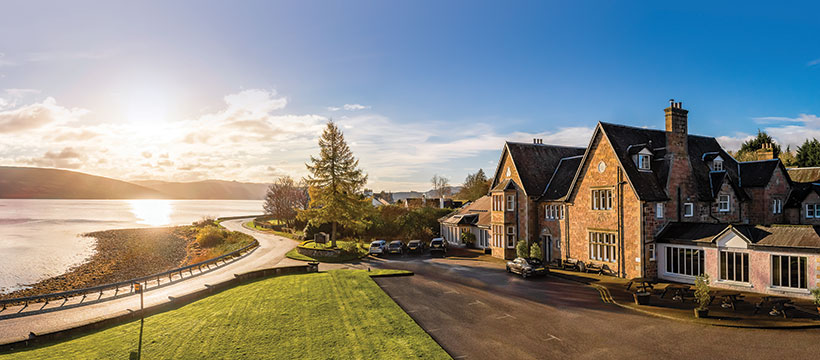
Glendaruel Caravan Park stands in the grounds of what was once Glendaruel House, a stately home that had belonged to the Campbells of Glendaruel until 1900. This Scots Baronnial pile was then modernised by a rich businessman and sold to Harrison Cripps who was the King’s Surgeon. His nephew, Sir Stafford Cripps, was Chancellor of the Exchequer in the Attlee Government after the war and as such was responsible for the post war economic improvement from 1952 onwards. Prior to the outbreak of WWII, Cripps brought the then German Chancellor on a visit to his uncle’s house.
Like many country mansions, Glendaruel was requisitioned for use during the war years and served as a hospital. Afterwards it was sold and was briefly a hotel before being destroyed by fire in 1970. Its original entrance is all that remains and just a fragment of that. You will pass the three arches of the Lucknow Gates near the start of the walk. They were built to commemorate the relief of the siege of Lucknow by General Sir Colin Campbell.
At the opposite end of the walk are antiquities of a much older period. The Kilmodan Carved Stones were all originally erected here and are without doubt the finest collection of carved stones in Argyll. You’ll find them in a building at the back of the churchyard. The Parish of Kilmodan takes its name from the Celtic Saint Modan, a contemporary of St Columba, whose original cell or chapel is believed to have been situated just east of the present church.
This is at least the third church to be built on this site and dates from the 18th century while the carved stones are from the 14th and 15th centuries. One of them was, until recently, thought to have been a fragment of the Celtic cross that stood at Garvie. Now scholars think it may have just been a natural stone pillar used for tethering animals. Several of the grave slabs were by the Loch Awe School of carvers who operated here, throughout Cowal, mid Argyll and Lorn. Although this is the largest collection of their work, further examples can be found in Kilmartin. The symbols carved into the stones are common throughout Argyll. Look out for unicorns, stags, priests, caskets and men in armour. One of the slabs may have been carved for the grave of a local blacksmith as it has a set of tongs carved on it.
From the car park head towards the site shop and office. Then keep left on the road passing it to go past a wooden lodge on your left. Continue into the wooded area and follow a footpath through the woods to reach a track. Turn right onto this and follow it to join narrow country lane at the Lucknow Gates.
Turn left and proceed along the lane. This may be the oldest road in Glendaruel and is shown on George Langland’s Map of Argyll in 1801. After a mile and a half you will cross an old stone Telford bridge then pass a children’s play park.
Turn right onto a path then at a T junction, right again onto the main road. Continue through Clachan of Glendarual to reach a red telephone box on your right. Turn right here, then when the lane forks, keep left to gain access to Kilmodan Churchyard.
From here return to the main road through the hamlet and turn left onto the path you came up at point (3). Cross the road and continue along a track. This is part of the old road through the glen by the great Dumfriesshire engineer, Thomas Telford, and runs parallel to the modern main road.
Keep on this, passing houses, crossing occasional muddy sections and continuing through a tree-lined section to exit onto a narrow lane and shortly afterwards turn left into the drive to Glendaruel Caravan park and return to the start.
Turn right and follow the path through the trees to the north banks of Lochan Spling. The path then swings left and, at the end of the Lochan, turns right at a waymarker pole, crosses a small stream and heads slightly uphill.
When the path reaches the T-junction, turn left and rejoin the main forest access road continuing along it to the Covenanters' Inn. This takes its name not from the activities of the 17th-century Scottish Presbyterians, who were persecuted by the Stuart monarchy for refusing to give up their faith, but from the subsequent activities of 20th-century Scottish Nationalists.
Continue past the inn, where a later group of Nationalists temporarily hid Scotland's Stone of Destiny when it was liberated from Westminster Abbey in 1950, and then turn left on to Manse Road at the junction and return back to the start.
Country lane and old Telford-built road
Caravan park and woodland
Excellent walk for dogs
OS Explorer 365 The Trossachs
Glendaruel Caravan Park car park by permission of the owner Annie Craig
In Glendaruel and at the caravan park
Read our tips to look after yourself and the environment when following this walk.
This is a county that’s all about awe-inspiring landscapes and unique island cultures. Ex-Beatle Paul McCartney put the area on the map when he wrote Mull of Kintyre, recorded in 1977 with the local pipe band backing his group. Kintyre is a long, thin peninsula that points south from the mainland, sheltering the mouth of the Firth of Clyde from the open sea. It’s very nearly an island, with just a narrow isthmus connecting it with Knapdale, to the north.
Tucked away at the end of the Firth of Clyde, Bute has been the holiday playground for generations of Glaswegians and is home to some of the finest golden beaches anywhere on the west coast. It may not boast the wild mountain grandeur of some of Scotland’s other islands, but Bute is blessed with swathes of heathery moorland and a range of low, fertile hills, perfect for walking and studying the local wildlife. Such is the variety of landscapes that make up this county.
To experience the sights and sounds of the area, visit Dunoon in late August for the Cowal Highland Gathering, when more than 150 pipe bands from all over the world compete for prestigious trophies.
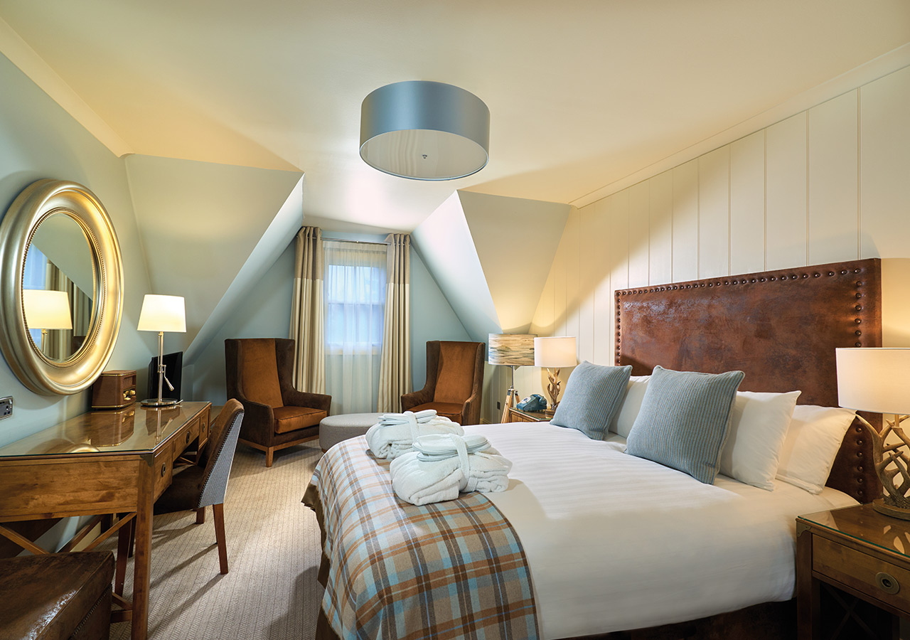
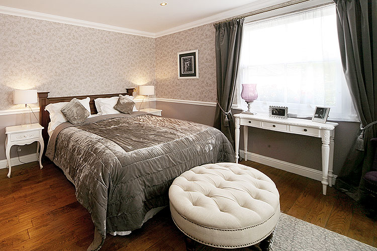
Discover more than 15,000 professionally rated places to stay, eat and visit from across the UK and Ireland.
Choose a place to stay safe in the knowledge that it has been expertly assessed by trained assessors.
Search by location or the type of place you're visiting to find your next ideal holiday experience.
Read our articles, city guides and recommended things to do for inspiration. We're here to help you explore the UK.