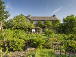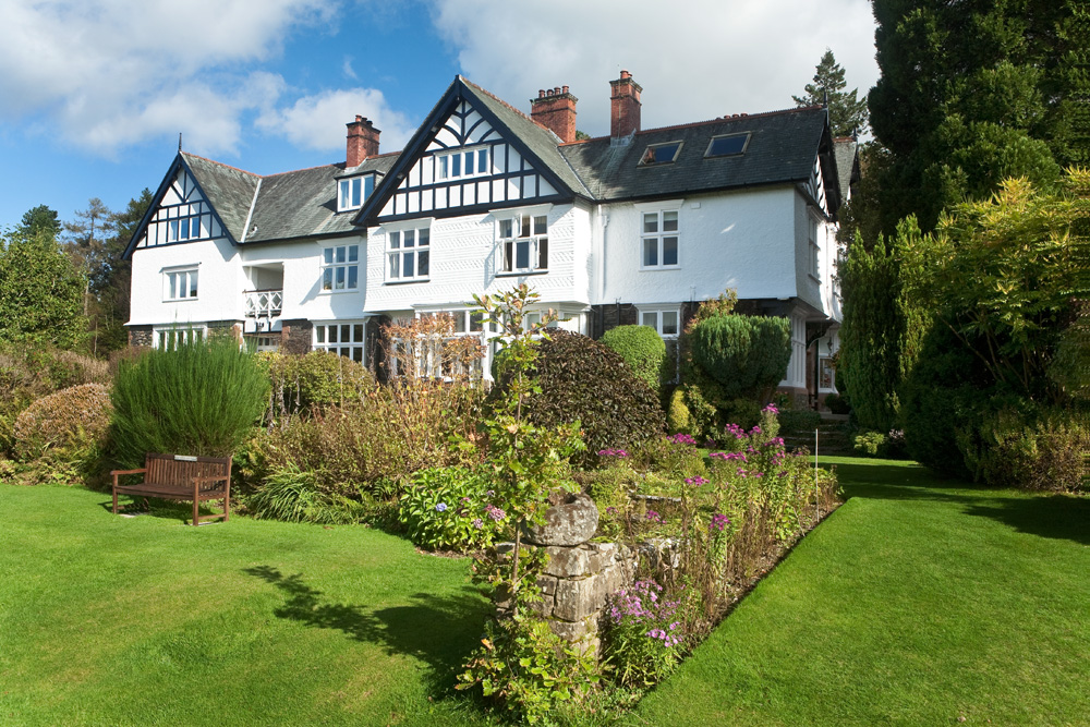


Top Garden Suite
Top Garden Suite is a 2 bedroom, 2 bathroom holiday apartment with its own outside space. With…

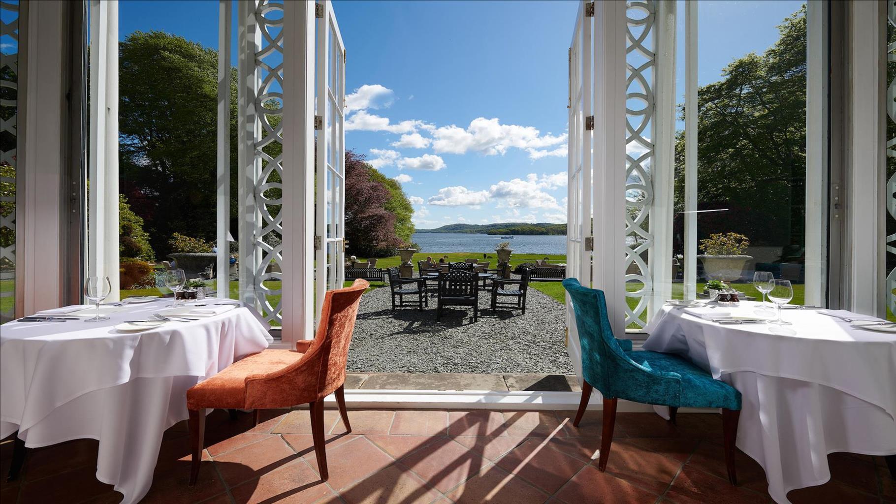
Discover life through a lens in a landscape entirely created to be picturesque.
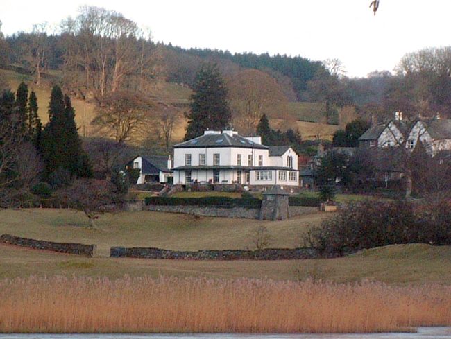
Claife
2.5 miles (4kms)
Claife’s claim to a place in Lakeland history would be secure even if it was just as the home of the Claife Cryer, a mysterious voice which once tempted ferrymen to their deaths on dark, stormy nights. Today, the ferry from the Bowness shore is owned by Cumbria County Council and its somewhat prosaic roll-on/roll-off service is unlikely to be affected by ghostly wailing.
At the end of the 18th century though, this was one of the very trendiest places to be in England. There was a war in Europe which meant there were far fewer places for the very rich to spend their leisure time, the Grand Tour was formerly a useful summertime occupation for many. The Lake District was being put forward by a few as the perfect replacement. It had even developed its own philosophical justification in the ‘picturesque’, a concept developed by the locally born aesthete William Gilpin (1724–1804).
Thomas West produced a ground breaking guide, The Lakes in Cumberland, Westmorland and Lancashire in 1778, and in it he had matched specific ‘stations’ where the ‘picturesque’ might best be captured. First among these was Claife, a rustic ferry ride away from Windermere’s mansion strewn eastern shore. The Claife shore had been bought by John Christian Curwen in 1781. Curwen was a proper industrial magnate, owning huge mining, iron and steel making concerns in Workington on Cumberland’s western coast. The estate included Belle Isle, where a previous owner had ill-matched the public mood and built a peculiar circular house. Curwen had grander designs and set about planting Claife Heights and shoreline with the requisite pine and larch trees that matched his idea of what a view should look like. On the crag where West had suggested the genteel tourist best captures the ideal composition of water, farmland, mountain and sky, he built a mock castellation, complete with glass windows in a variety of shades. One of the more peculiar aspects of this pursuit of the ‘picturesque’ was the belief that things looked better if you looked at them in a convex mirror – a Claude Glass (taking its name from Claude Lorrain, a 17th-century artist whom Gilpin felt had captured the essence of the ‘picturesque’.) Gilpin had claimed that the Claude glass gives ‘the object of nature a soft, mellow tinge like the colouring of that Master’. Different colour glass brought a different light to the mirror, so at Claife Station you could admire the view in several different moods. It seems a strange idea to modern sensibilities, and perhaps unsurprisingly Claife Station fell into disrepair. The whole estate is now managed by the National Trust, who are restoring the station to its former glory.
Turn left from the car park at Harrowslack, along the lakeshore road, then go through a gate into the woods.
After a few paces turn abruptly left, on a bridleway towards Far Sawrey. The track rakes upward above the Harrowslack meadows, climbing through woodland. In time, ignore a permissive track away to the left and continue upward. Through an open area, walls close in and you reach a gate.
About 50yds (46m) further on turn left, back into the woods, on a twisting, contouring track passing over a stream before joining an enclosed path. Beyond a wall gap more open country returns, but the way ahead is still clear. Rounding a rocky promontory, the path swings upward to cross the head of a shallow valley. On the far side of this, an awkward manoeuvre around slabs requires extra care when it’s wet. The path continues beyond this on the woody ridge before finally reaching the edge at Red Brow.
A footpath signpost saying ‘Ferry’ indicates your direction of descent. The way is steep and winding, between tree roots and rocky outcrops. The descent finishes with a flourish at a little rocky pass, which leads to the ruins of Claife Station.
Beyond the ruin is a footpath junction. Choose the left-hand option, signposted to the ferry and lakeshore. At the café keep left to continue through the woods to avoid the busy road. Continue to you reach the car park.
Road, forest paths and tracks
Woods, fell and lake
Mostly fine
OS Explorer OL7 The English Lakes (SE)
National Trust Harrowslack pay-and-display car park
None on route, plenty in Bowness on other side of lake
Read our tips to look after yourself and the environment when following this walk.
Discover more than 15,000 professionally rated places to stay, eat and visit from across the UK and Ireland.
Choose a place to stay safe in the knowledge that it has been expertly assessed by trained assessors.
Search by location or the type of place you're visiting to find your next ideal holiday experience.
Read our articles, city guides and recommended things to do for inspiration. We're here to help you explore the UK.