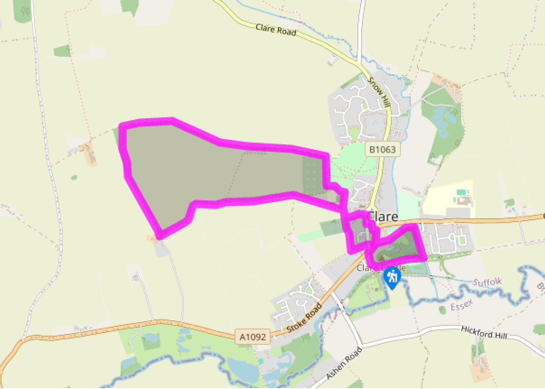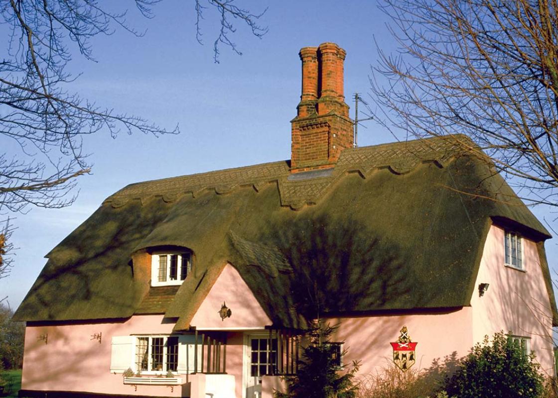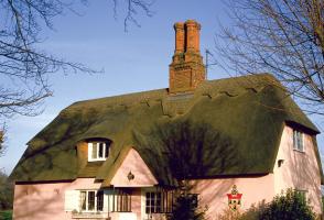
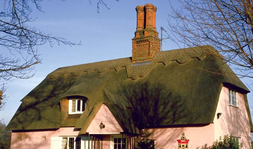
Clare Castle and Priory
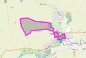
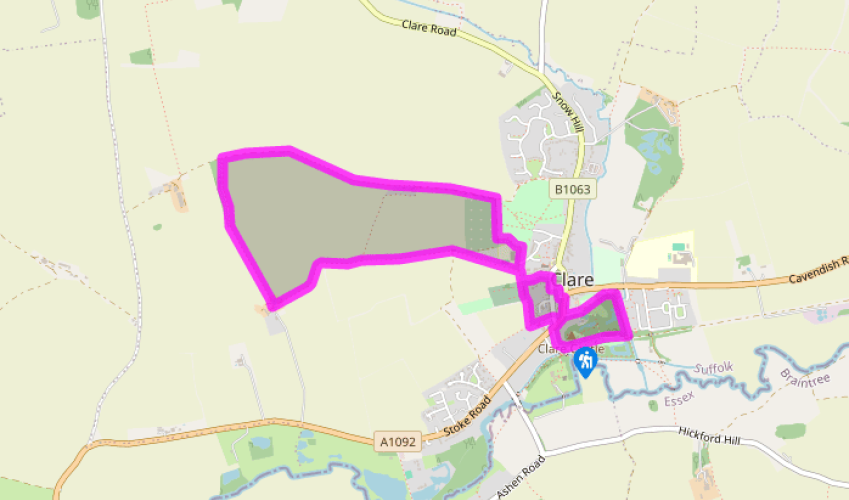
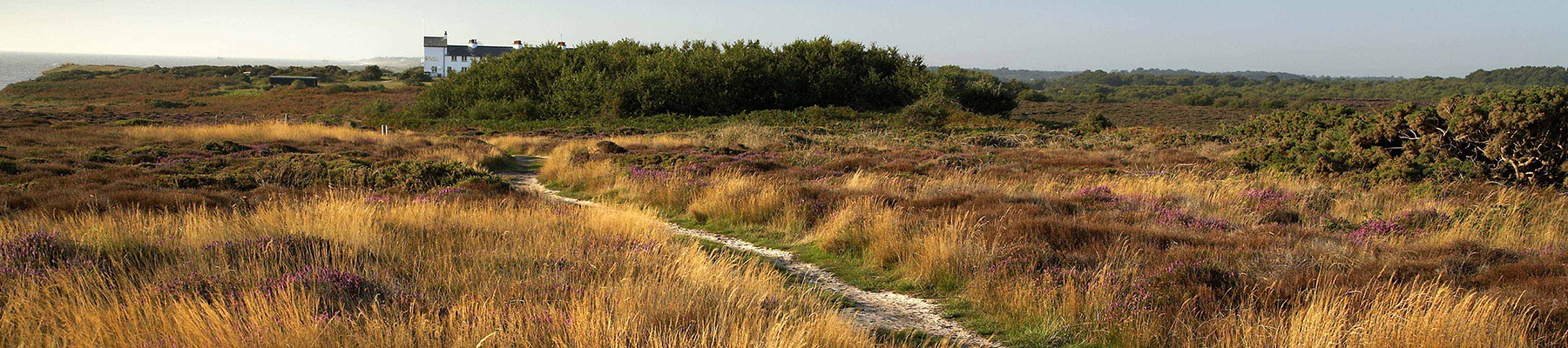
Leave the car park by the entrance, walking up The Broadway. At the end, cross the road and turn right along Well Lane which swiftly becomes Market Hill. Pass the small Co-op supermarket and continue up the short lane that leads to the parish church of St Peter and St Paul. Turn left at the gates leading to the church, passing the Clare Ancient House Museum (open Thursday to Sunday in summer). Turn right, passing the church tower, and then left through the black iron gates of Clare Parish Cemetery. At the chapel turn right onto a field-edge path and at the point where the path disappears behind a high conifer hedge turn left to continue around the field.The path joins a wider track as it continues its climb up the right-hand side of the next field. Ignore the turning to your right and continue along the path as it swings left then right on its descent to Bench Barn Farm.
Walk between farm buildings to a pond. Turn right here up a short slope to enter a field. Go straight ahead down the middle of the field aiming for the right-hand edge of a hedge about 300yds (274m) ahead of you on a path that may be indistinct at first. When you reach the hedge continue straight on. Burrow your way straight on through the next hedge you come to (the gap is somewhat overgrown) and walk on for another 50yds (46m) to a junction of paths where you turn right.

Been on this walk?
Send us photos or a comment about this route. Or recommend a route of your own.

Walking in Safety
Read our tips to look after yourself and the environment when following this walk.

Get an AA guide
Explore our range of ‘50 Walks in’ guides - they’re the ideal companion for a ramble.
Been on this walk?
Send us photos or a comment about this route. Or recommend a route of your own.
Walking in Safety
Read our tips to look after yourself and the environment when following this walk.
Get an AA guide
Explore our range of ‘50 Walks in’ guides - they’re the ideal companion for a ramble.
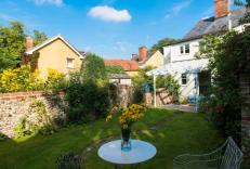
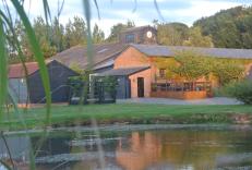
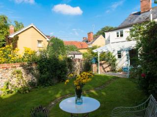
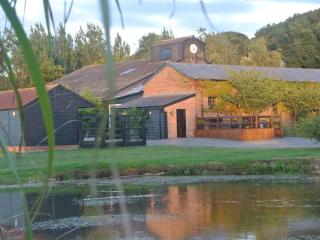
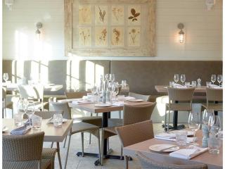
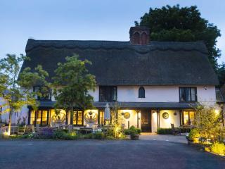
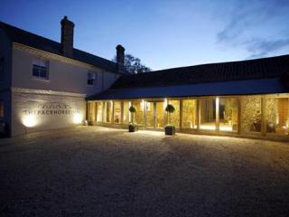
Nearby places to stay
View all (8)