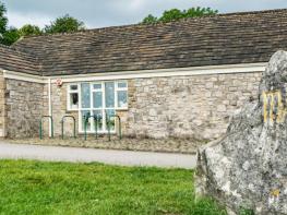
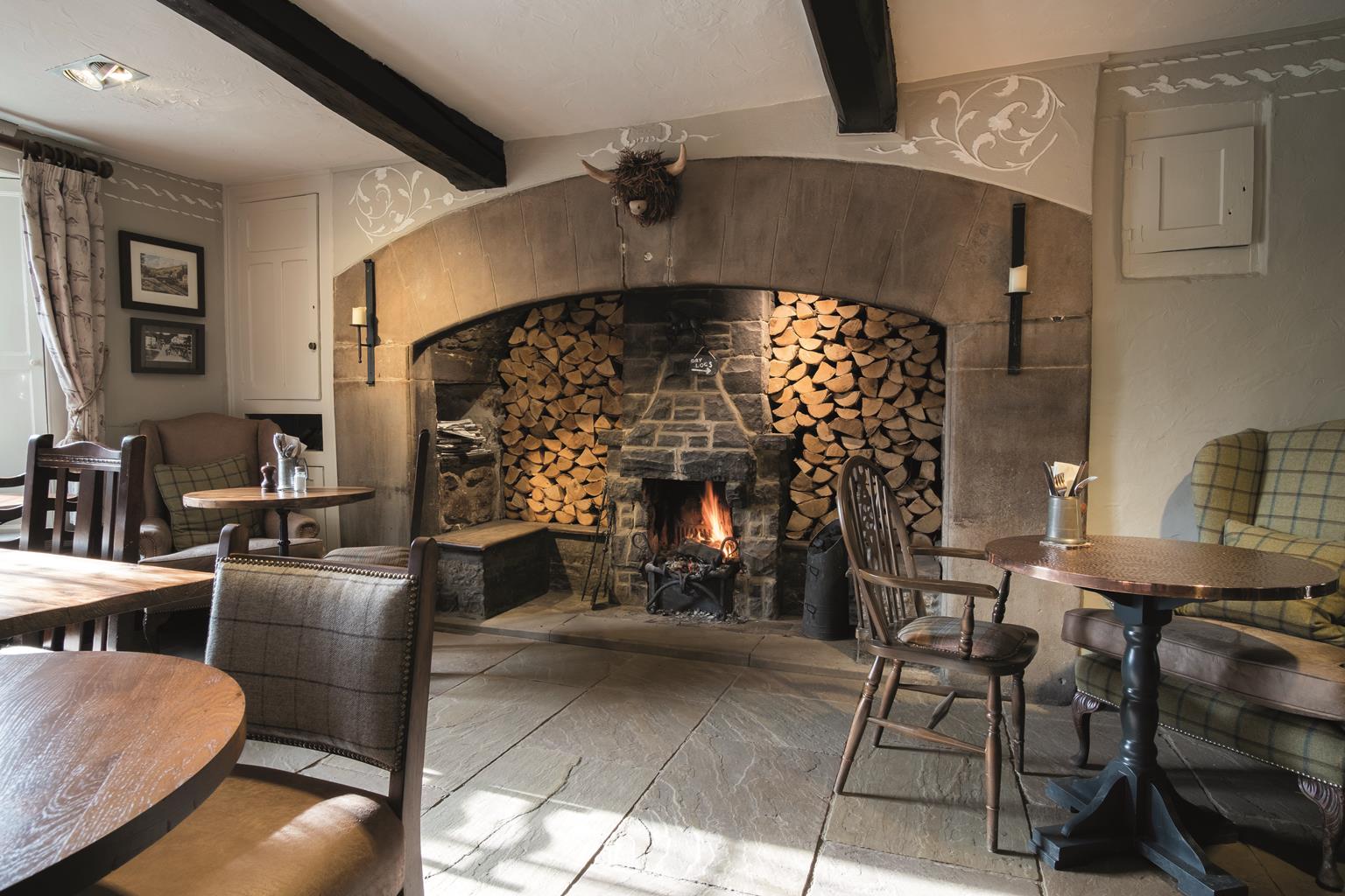

Close House Cottage Holidays
Close House Cottages, on the outskirts of Giggleswick, are perfect for walkers and lovers of the…

A rare remnant of undrained wetland is the highlight of this more challenging walk.
Cocket Moss
4 miles (6.4kms)
Cocket Moss is something special, a fragment of almost primordial landscape. Once, much more of the surrounding lowlands would have looked like this, but human effort over thousands of years has cleared woods and drained wetlands. The central part of Cocket Moss is extremely wet, but fortunately for us there’s a causeway across it – it’s not completely primordial, after all.
The rest of the walk may be less remarkable, but it’s still full of charm, from the opening stroll along one of the quietest lanes in Yorkshire to the later stages with their delightful jumble of little crags and scattered trees.
Cocket Moss is a rare example of a valley bog, and thereby earns the accolade of Site of Special Scientific Interest (SSSI). The wettest part, crossed by the causeway, is a species-rich mire dominated by bottle-sedge, cottongrass and sphagnum mosses. After crossing the causeway, you traverse rough grazing land which is mostly dominated by purple moor-grass (Molinia caerulea). This forms tall tussocks which can make the going a bit slow. The ‘purple’ in the name refers mainly to the flower head at the tip of the stalk. Earlier in the walk, the elevated stretch of lane between two gates has fine views extending to Ingleborough and Pen-y-ghent. These and other summits rise from extensive plateau-like hills marked with many pale outcrops of limestone. There’s no limestone to be seen close at hand, though: the little crags which prettily punctuate the landscape around Cocket Moss are all of millstone grit. You’ll pass close to some of these crags later on. The limestone is still there, but buried deep beneath your feet.
This is all part of the influence of the Craven Faults, an ancient series of earth movements which pushed up the rocks to the north and east relative to the ones you’re standing on. The fault-line runs roughly parallel and just beyond the present-day course of the A65.
Walk west along the road, with a wall on your left. The lane bends left near a farm then passes through a gate. The next section is pleasantly elevated. Pass through another gate and continue along the winding lane for about a mile (1.6km) to the wide opening of a stony track on the left, just beyond a red-topped gas pipeline marker post.
Turn left through the gate and go down this track. About 100yds (91m) after the next gate, where the track dips down gently before rising again, with a farm on the skyline ahead, turn left, not on the obvious track to a ford, but a few paces beyond, to cross a stream by the grassed-over remains of a small dam. This is still a water intake (you can see the pump), so take care not to pollute. Go through a gate just beyond (it says ‘Bull in Field’ in very faded paint). Follow the left-hand wall for around 50yds (46m), then bear slightly right to follow a green track along the left-hand flank of a small hill with scattered thorn trees. Keep mostly parallel with the wall on the left. Continue along the track past dense stands of rushes, then turn left to find a (hard to spot) stile in a stone wall.
Cross this and turn right immediately, between the wall and a wire fence. When the fence ends bear left across the field to a gate left of a barn by a redtopped gas pipeline marker post. Go straight across the next field to a small gate/stile in a stone wall, below a large ash tree. Cross this, then turn left immediately, following the wall. Cross a wire fence and continue uphill, still following the left-hand wall.
As you start to descend, the wall on your left turns away sharply. Go half left here, roughly level across a slope, then down to a gate in the far corner of the pasture. This gate leads to a grassy causeway which is, very obviously, the only way across a very wet area. This is the heart of Cocket Moss.
Cross the causeway then follow a faint path, just right of a groove, up the slope beyond. From the top of this slope there’s no obvious path, but go straight ahead across the rough moor. It’s damp, but nowhere near as wet as the area flanking the causeway.
When you reach a faint track, parallel to a wall ahead, turn right. Follow the track to a gate with a tall post, go through and follow the left-hand wall. At the next angle of the wall, below the crag of Birchshow Rocks, bear left; there’s a very faint track and you need to keep 99 per cent of the boulders to your right. Follow the track to a gate.
Go through this gate and straight ahead, below more rocks. Pass the end of a detached section of wall, then bear left to a gate in the far corner, left of some trees. A second gate leads out to the lane; turn left and follow it back to the start.
Quiet lane, farm tracks, fields and rough pasture, 2 stiles
A mixture of moorland, pasture, open woodland, gritstone crags and mire
The safest place for dogs to run free is actually on the almost traffic-free lane
OS Explorer OL41 Forest of Bowland & Ribblesdale
Wide verges on Wham Lane between Lower Wham and Sandford
None on route
<p>In spring and early summer look out for groundnesting birds, especially around Cocket Moss; keep dogs strictly on leads at this time</p>
Read our tips to look after yourself and the environment when following this walk.
North Yorkshire, with its two National Parks and two designated Areas of Outstanding Natural Beauty, is England’s largest county and one of the most rural. This is prime walking country, from the heather-clad heights of the North York Moors to the limestone country that is so typical of the Yorkshire Dales – a place of contrasts and discoveries, of history and legend.
The coastline offers its own treasures, from the fishing villages of Staithes and Robin Hood Bay to Scarborough, one time Regency spa and Victorian bathing resort. In the 1890s, the quaint but bustling town of Whitby provided inspiration for Bram Stoker, who set much of his novel, Dracula, in the town. Wizarding enthusiasts head to the village of Goathland, which is the setting for the Hogwarts Express stop at Hogsmeade station in the Harry Potter films.
York is a city of immense historical significance. It was capital of the British province under the Romans in AD 71, a Viking settlement in the 10th century, and in the Middle Ages its prosperity depended on the wool trade. Its city walls date from the 14th century and are among the finest in Europe. However, the gothic Minster, built between 1220 and 1470, is York’s crowning glory.
Discover more than 15,000 professionally rated places to stay, eat and visit from across the UK and Ireland.
Choose a place to stay safe in the knowledge that it has been expertly assessed by trained assessors.
Search by location or the type of place you're visiting to find your next ideal holiday experience.
Read our articles, city guides and recommended things to do for inspiration. We're here to help you explore the UK.