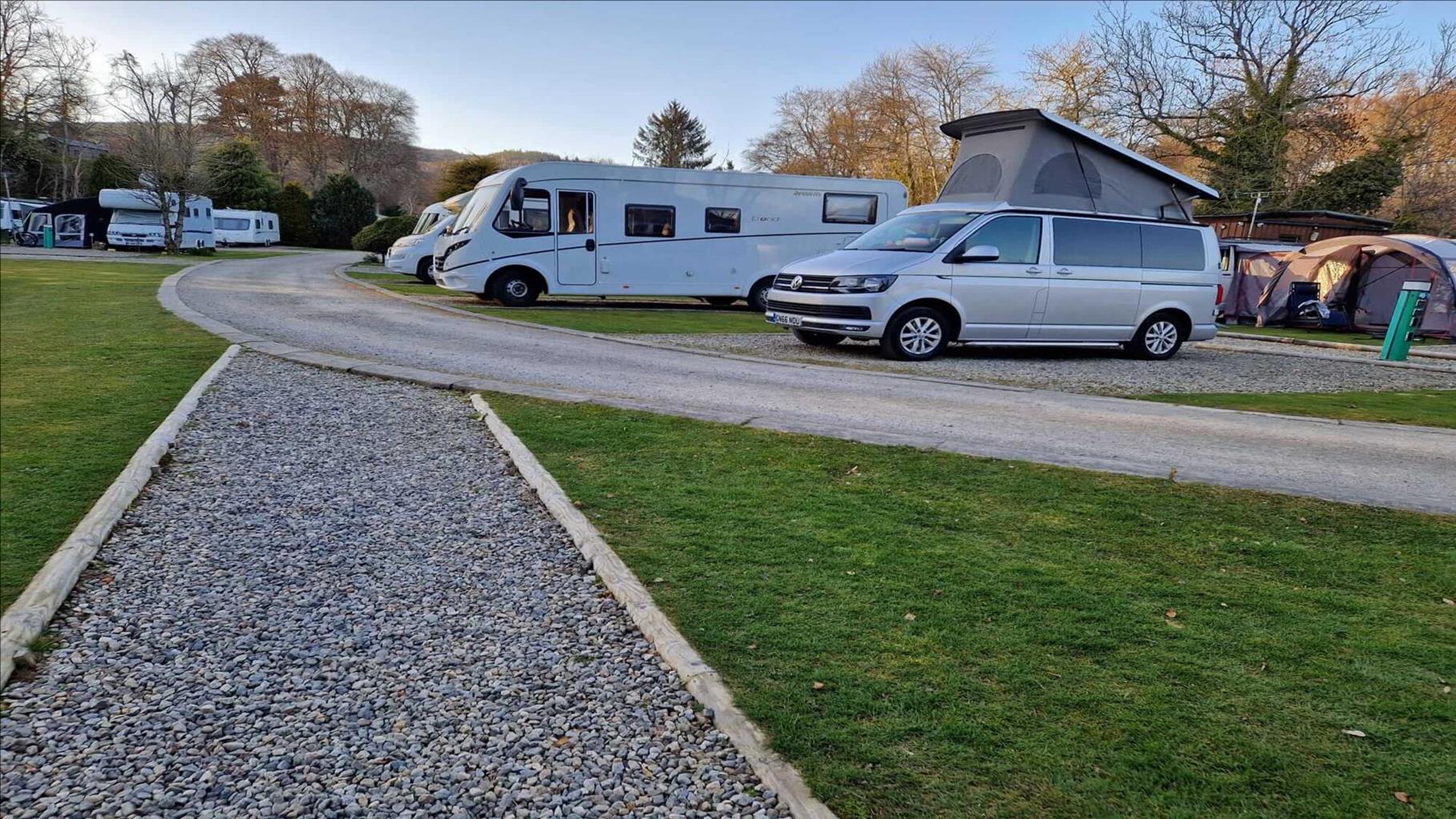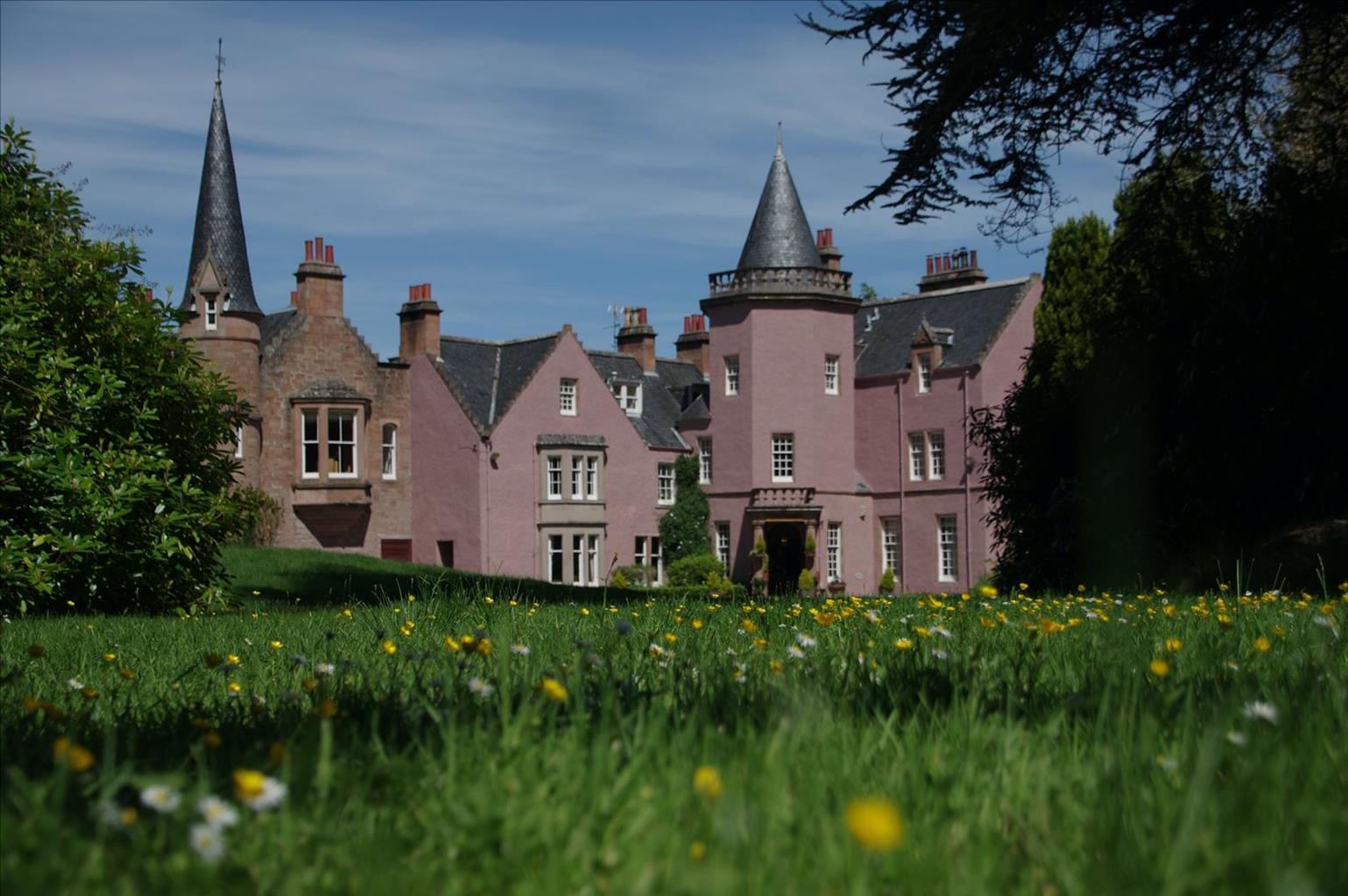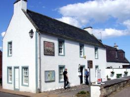
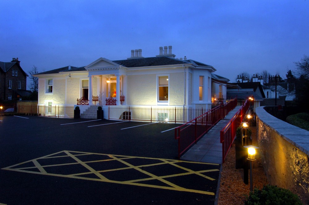
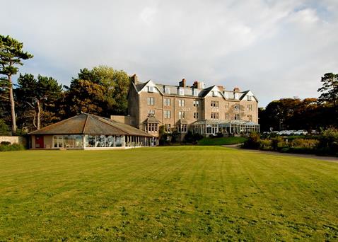

The Ben Wyvis Hotel
The Ben Wyvis Hotel is situated in idyllic woodland in the Victorian spa town of Strathpeffer in…

Through mixed pinewoods to a salmon-leaping waterfall.
Contin
5.5 miles (8.8kms)
Stand on the bridge at Rogie Falls between July and September, when the river’s fairly full, and you might catch a glimpse of a leaping salmon. It’s a thrilling sight to see a 3ft (1m) long fish attempting to swim up against the force of the water. Eventually it’ll make it, or else discover the easy way round – the fish ladder carved out of the rock on the right-hand side. But if you’d been here 200 years ago, that single salmon would have been a dozen, even a hundred.
Salmon was once food for the taking. You went down to the river and took as many as you could eat. Smoked above a peat fire, it was a staple winter food. Farm workers even used their industrial muscle to demand that they shouldn’t have to eat salmon more than three times a week. Today, however, wild salmon are heading for extinction. The last decade saw the catch in Scotland’s rivers shrink from 1,200 to 200 tons due to netting in the estuaries, and in their feeding grounds around the Arctic pack ice. Angling clubs have bought up and discontinued estuary netting rights but the international community squabbles on about the Arctic drift nets and now parasites and disease from fish farms pose a new danger.
Egg, fry, alevin, parr, smolt, salmon, kelt – these are the seven ages of the salmon’s life. For one or two years it behaves like a trout, hanging in the still water behind a boulder, waiting for food to float by. But then its scales become silver and it turns downstream, totally altering its body chemistry to enable it to live in salt water.
Four or five years later, now called a salmon, it returns. We don’t know how it navigates from Greenland back to the Cromarty Firth. Once there, it identifies the outflow of the Conon by the taste of the water and works its way upstream to return to the patch of gravel where its life began.
At the end of the car park, pick up a wide path, with the river down left heard but not yet seen. Where red waymarkers turn back right, keep ahead on a rougher path with deer head markers. It bends up right beside a waterfally stream to a forest road. Turn left, signed ‘Garve’, and in 80yds (73m) bear left, on a track heading slightly downhill.
Go on for 600yds (549m), when a small track down to the left is signed ‘Rogie Falls’. At its foot, cross a spectacular footbridge below the falls. Turn right, upstream, past a viewpoint onto a smaller path. This has green waymarkers and after 0.25 miles (400m) bends left, away from the river. It rambles back to the left through rocky ground to a junction with a much wider path. Turn up right, to Rogie Falls car park.
Leave the car park through a wooden arch, passing above the toilet block. The wide path with red markers reaches a viewpoint bench, then winds down left to a viewpoint below the falls and footbridge. It continues across to the footbridge. Cross the bridge and retrace the outward route to Point 2. Turn sharp left up the other forest road. After 0.5 miles (800m), at the top of the track, the dam of Loch na Crann is on the right.
Cross a footbridge on the right, and follow the loch side for 150yds (137m) to a small boathouse. Turn up to the right on a small path, which dips to a boggy section with duckboards. The path now gets much clearer, bending to the right to reach a small forest track. Turn left up this. After 500yds (457m) it reaches a path junction with signpost.
Turn right for View Rock on a good path between two large stones. After 0.5 miles (800m) it rises to a small hilltop. At a waymarker post, fork up right to the bare rock summit just above, which is View Rock.
The path drops briefly, to rejoin the main path just below. This descends gently to a bend with a view ahead out of the forest. Follow the path back down to the right into an open area, where you head straight across a forest track. Under a large willow, ignore a fork down left as the main path runs level, recrossing the forest track and turning down to a signpost at yet another track crossing. Continue downhill, crossing two more tracks, to Contin Forest car park.
Waymarked paths and tracks
Plantation, wild forest and riverside
Good on woodland paths
OS Explorer 437 Ben Wyvis & Strathpeffer
Forest car park north of Contin
At start and Rogie Falls car parks
Read our tips to look after yourself and the environment when following this walk.
Discover more than 15,000 professionally rated places to stay, eat and visit from across the UK and Ireland.
Choose a place to stay safe in the knowledge that it has been expertly assessed by trained assessors.
Search by location or the type of place you're visiting to find your next ideal holiday experience.
Read our articles, city guides and recommended things to do for inspiration. We're here to help you explore the UK.