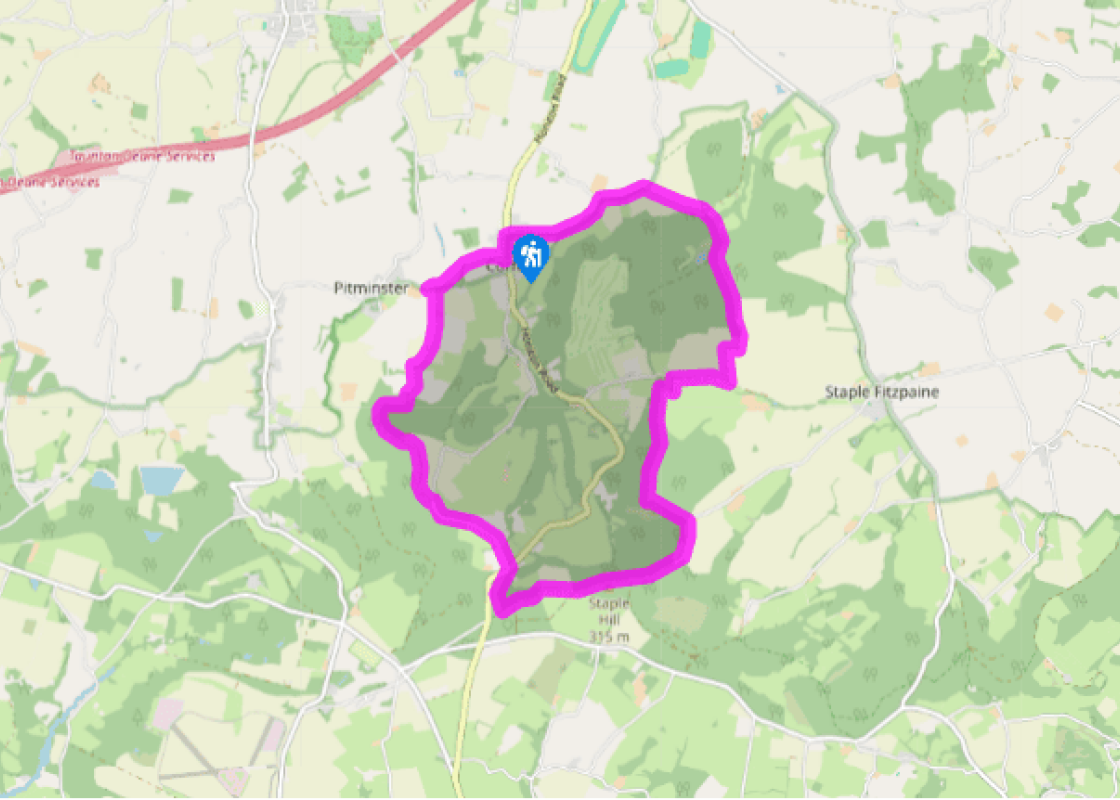
Additional information
Terrain
- Field and occasionally rugged woodland paths, some lane walking
Landscape
- Steep, wooded slopes and fields with some lanes
Dog friendliness
- Mostly open woodland, but dogs should remain under close control to avoid wildlife disturbance
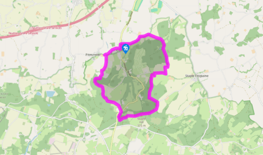
Parking
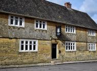
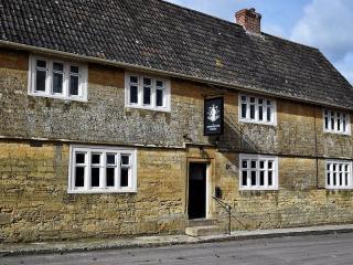
- In Mill lane by Corfe church, or across main road by village hall in Newton Lane
Toilets en route
- None on route
About the walk
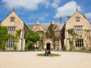
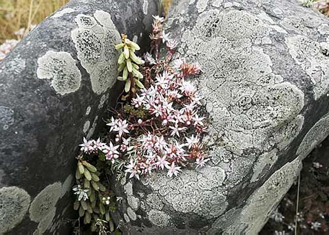
Corfe lies at the edge of the Blackdown Hills AONB, an area described by Daniel Defoe in 1724 as 'the most beautiful landscape in the world'. They rise to a long, broad ridge, riven on both sides by steep-sided stream and river valleys, and although sparsely populated, farms and hamlets are... scattered within its folds, connected by narrow lanes and tracks that fall like ribs either side of the ridgeway spine. Traditional woodland management Too steep for agriculture, the northern scarp is thickly coated in woodland, which was traditionally managed by coppicing. Periodically cut back to the bole, wood could be harvested without destroying the tree, which soon produced new growth in multiple stems. Oak, ash and sweet chestnut all coppice well, with hazel regenerating sufficiently quickly to give a 7- or 8-year rotational cycle. Such low-key management encourages the woodland's diversity; regular cut-backs create open spaces with a species rich understory and, because individual trees can survive for hundreds of years, the wood becomes balanced with a range of variously aged trees. Below the hill, old trees amongst the hedgerows or standing isolated within the fields are remnants of a different form of management, where pasture was grazed beneath an open woodland of mature, well-spaced trees that were periodically lopped above the level of browsing cattle and deer. Beech, oak, maple and, in damper areas, willow and alder were all regularly pollarded, producing not only wood and timber, but also leafy fodder for livestock. This again enabled a regular harvest and also maintained the life of the tree by encouraging continual new growth and reducing the threat of storm damage. Monastic past Corfe, from which the walk begins, is one of the smallest parishes in the country and dates from a 9th-century Saxon charter. Names such as Barton Grange, Prior's Wood, Canonsgrove and Pitminster hint at the area's monastic past, much of which was held by the Bishop of Winchester. Barton Grange became a summer residence for the Prior of Taunton and was largely managed as hunting forest and deer park. Sections of the 'pales' or park boundaries can still be traced in the field hedges, particularly that of Poundisford, which lies just to the north west of the walk.
Read more
Somerset
Somerset remains rural and unspoiled, and ever popular areas to visit are the limestone and red sandstone Mendip Hills rising to over 1,000 feet, and by complete contrast, to the south and southwest, the flat landscape of the Somerset Levels. Another popular spot, the Quantocks, once the haunt of poets Coleridge and Wordsworth, are noted for their gentle slopes, heather-covered moorland expanses and red deer.