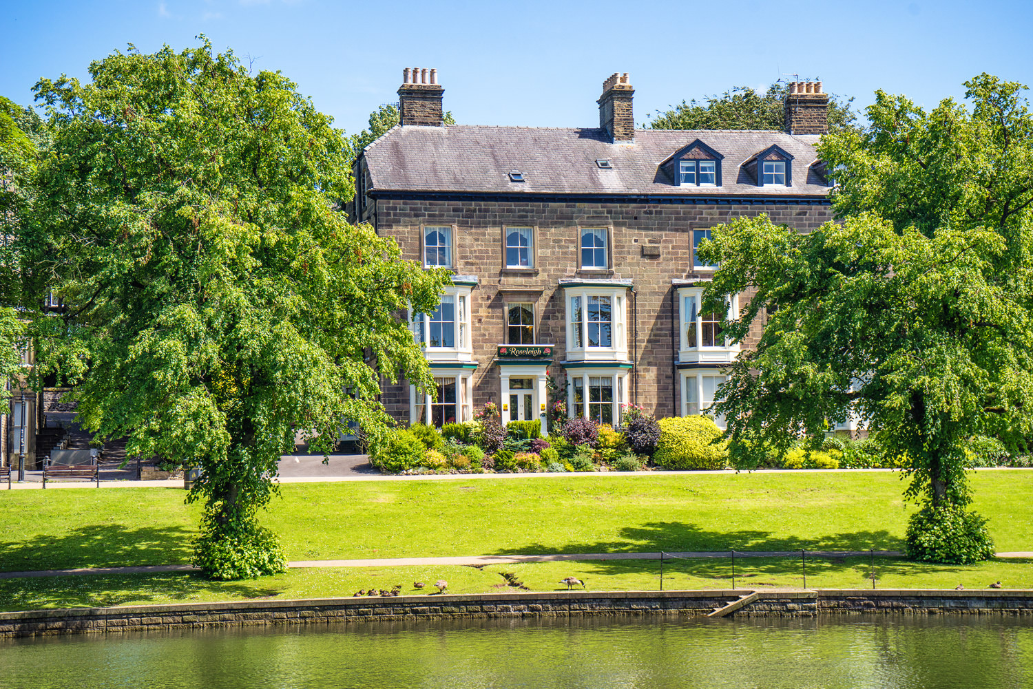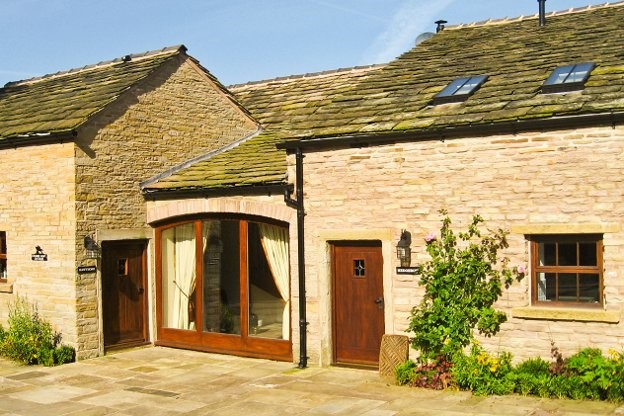


Lowes Mill Cottages at Torr Vale Mill
The four historic cottages are converted outbuildings of the Grade II* listed Torr Vale Mill,…

Views of Kinder Scout and the Peep O Day
Chinley
6 miles (9kms)
The best base for exploring both of these hills is Chinley. Two sweeping curved viaducts that span the valley high above the town’s rooftops are a reminder that this was once an important railway town: a junction for Sheffield, Manchester and Derby trains. The Reverend Henry Thorald called the viaducts one of the greatest monuments to Victorian industrial England. At one time over 150 trains a day would have raced through the valley. At its height Chinley station had a café, a bookstall and bustling waiting rooms on every platform.
On leaving Chinley you are confronted by the rust-coloured crags known as Cracken Edge. They form the upper of two distinct tiers. When you get closer the crags turn out to be the remains of old gritstone quarries. Further exploration reveals the entrances of shafts dug to extract the best stone; later on, part of the winding engine that conveyed the stone down to the valley below comes into sight. Today the scene is one of nature reclaiming industry, with grassed-over spoil heaps and narrow wash-out valleys.
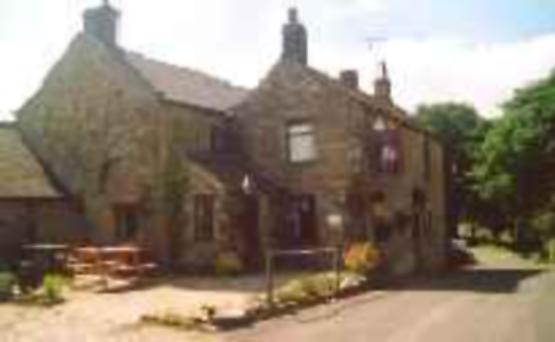
When you reach the brow of Cracken Edge you’re rewarded with a panorama of the second part of the walk. In it, Kinder Scout peeps over the grassy peaks of Mount Famine and South Head. A pleasant grass track takes the route down from the edge back to the fields of Otter Brook’s upper combe. At Chinley Head you come to a stark stone-built house called Peep-O-Day, so named as it faces eastwards and catches the first of the morning sunshine. These days, privacy hedging means the small eye-shaped window built to catch those early sunrays is hard to spot. The second part of the walk is spent on the eastern side of the combe of the Otter Brook. Another substantial old quarry track takes the route across the lower slopes of Mount Famine to a windswept little pass beneath South Head. From here the Sett Valley and the attractive field patterns surrounding South Head Farm are hidden by the gritstone rim of Mount Famine and the woods of Kinder Bank. The highland plateau of Kinder Scout has disappeared behind the spur of Kinderlow End. But it’s only a short climb to the summit of South Head at 1,620ft (494m) to bring it all back into view, and much more, before ending the day with an easy descent back into the valley below using farm tracks and field paths.
From the war memorial by the railway bridge, walk up Maynestone Road. After 200yds (183m), take a waymarked path on the left. Cross a stile and climb directly uphill, then diagonally left by gorse to the top left field corner. Turn right on to a vehicle track, then fork left at a junction and past a cattle grid. Where the track bends left towards buildings, continue straight ahead on a grassy path. Pass a cottage, then roughly follow the left wall in the next field. A narrow eroding track then leads steeply uphill through gorse.
On leveller ground, turn right on to a wider track through ancient quarry workings. About 100yds (91m) before a fence, fork left to zigzag up the hillside through higher workings. Turn right below the edge-top to a stile. For the best views, head left along the fenceline to the top of the edge then bear right carefully along a faint crag-edge path. Bend right with the edge to descend a gentle ramp to rejoin the lower path. Otherwise continue on the path ahead, weaving through the spoil heaps below the crags.
As the paths rejoin, bend gently right then left through a grassy line of spoil to pick up a broader plateau-edge path. Head left along this, past further workings. The path broadens into a track as it falls beyond a cottage to a track junction.
Turn right on a farm track (from Hills Farm) and descend to a lane, continuing past the evocatively named Peep-O-Day to the A624.
Cross over and walk left along the verge of the busy road. At Hayfield View camping barn, bear right on to the old cart track and past a small quarry. Join the Pennine Bridleway towards South Head at a T-junction. Bend left up to a pair of gates and continue beside the right-hand wall across the slope of Mount Famine to a gate on to National Trust land.
For the view from South Head, follow the ongoing track to an old gateway, where a grassy path branches up to the summit. Otherwise scale the stile immediately before the National Trust gate; head downfield beside the left wall and then along a walled track.
Cross a stile and stay near the left wall, crossing over a track junction between fields. A grass track then develops to join a farm access track (from Andrews Farm).
Cross the busy A624, ignore a footpath immediately opposite and follow the pavement right for about 100yds (91m). Cross a waymarked stile and bear diagonally right to the far field corner. Carry on at the edge of two more fields towards Otter Brook. Bear left just above the stream to cross a slabbed bridge.
Climb left from the trees to a gate at the top of the field on to Maynestone Road. Turn left back to the war memorial.
Field paths, quarry and farm tracks, sandy and eroded around quarry, several stiles
Hill pastures, long-abandoned quarry and moorland
Dogs should be kept on lead.
OS Explorer OL1 Peak District - Dark Peak Area
Roadside parking at start near war memorial
None on route
Path to Cracken Edge is getting eroded may not be suitable for all. Beware crag edges along top. Alternatively take a slightly lower path below the crags (both described)
Read our tips to look after yourself and the environment when following this walk.
The natural features of this central English county range from the modest heights of the Peak District National Park, where Kinder Scout stands at 2,088 ft (636 m), to the depths of its remarkable underground caverns, floodlit to reveal exquisite Blue John stone. Walkers and cyclists will enjoy the High Peak Trail which extends from the Derwent Valley to the limestone plateau near Buxton, and for many, the spectacular scenery is what draws them to the area.
The county is well endowed with stately homes – most notably Chatsworth, the palatial home of the Duke and Duchess of Devonshire, with its outstanding collections of paintings, statuary and art. Other gems include the well preserved medieval Haddon Hall, the Elizabethan Hardwick Hall, and Kedleston Hall, whose entrance front has been described as the grandest Palladian façade in Britain.
The spa town of Matlock is the county’s administrative centre and other major towns of interest include Derby and the old coal mining town of Chesterfield, with its crooked spire. Around the villages of Derbyshire, look out for the ancient tradition of well dressing, the decorating of springs and wells – the precious sources of life-sustaining water – with pictures formed from flowers.
Discover more than 15,000 professionally rated places to stay, eat and visit from across the UK and Ireland.
Choose a place to stay safe in the knowledge that it has been expertly assessed by trained assessors.
Search by location or the type of place you're visiting to find your next ideal holiday experience.
Read our articles, city guides and recommended things to do for inspiration. We're here to help you explore the UK.