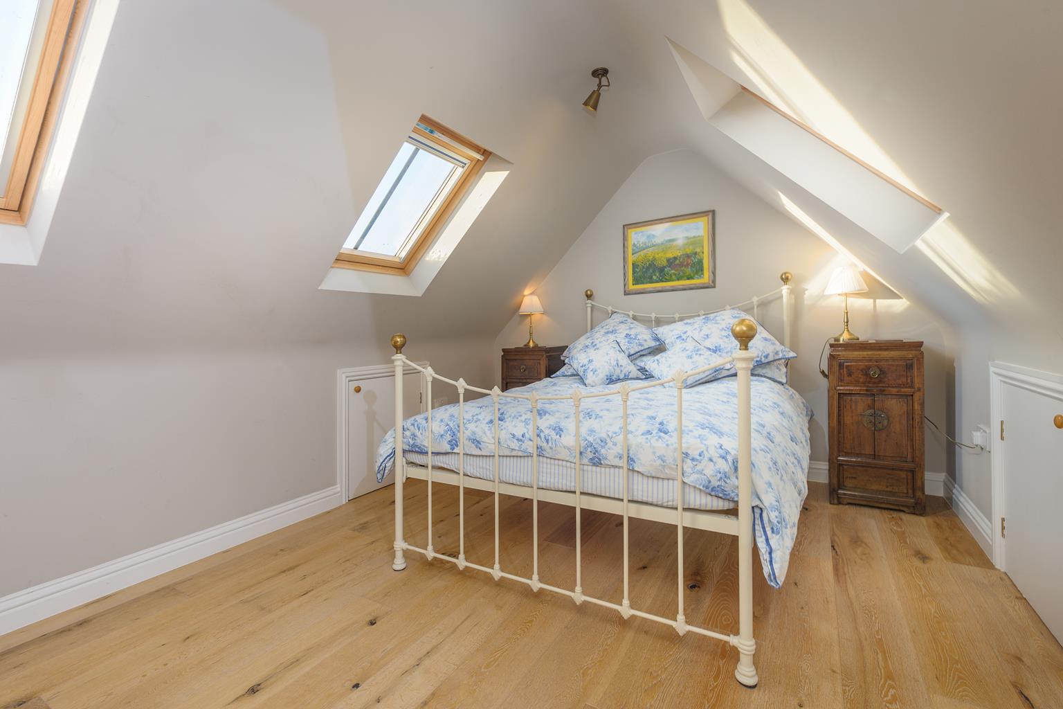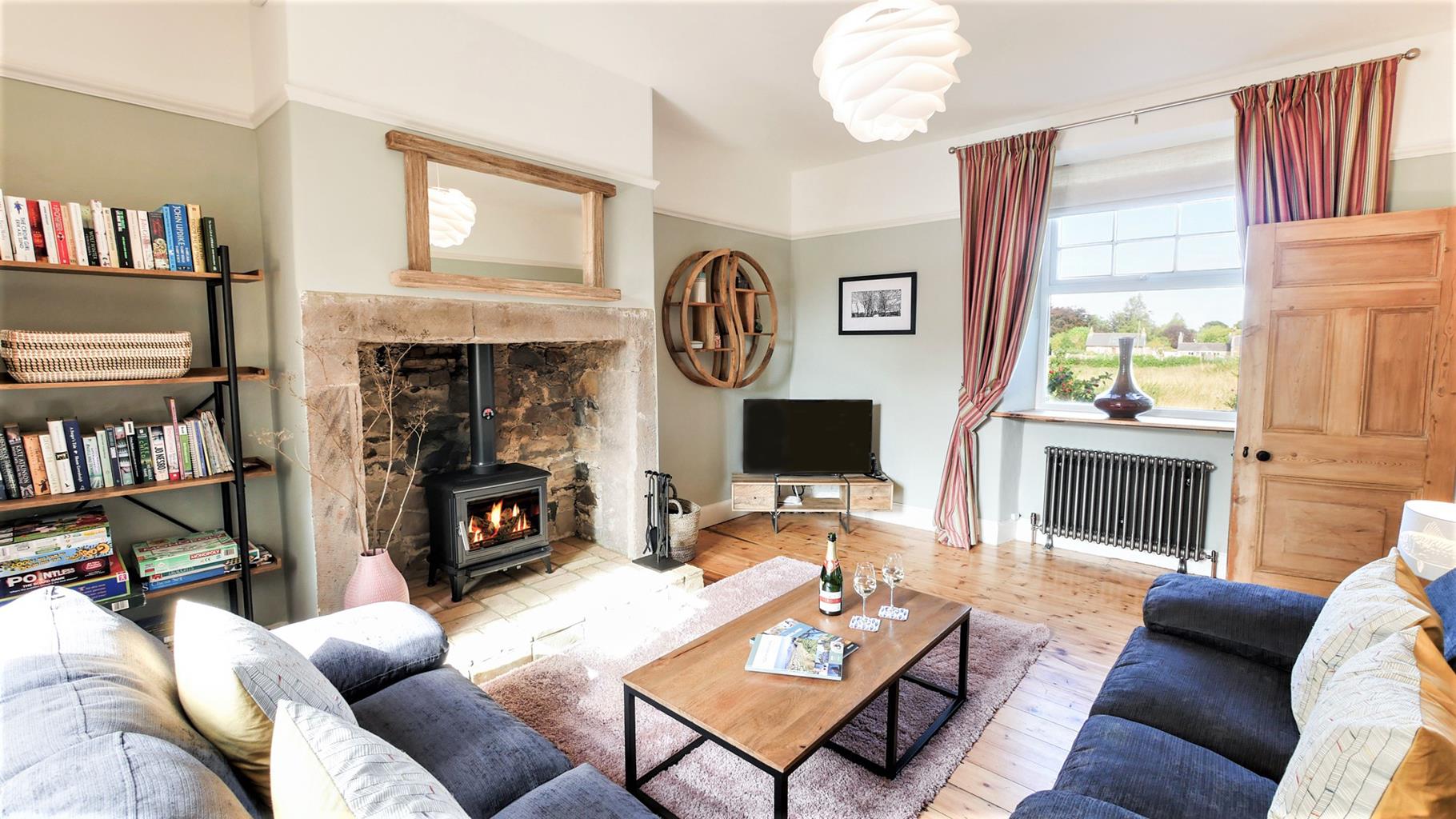
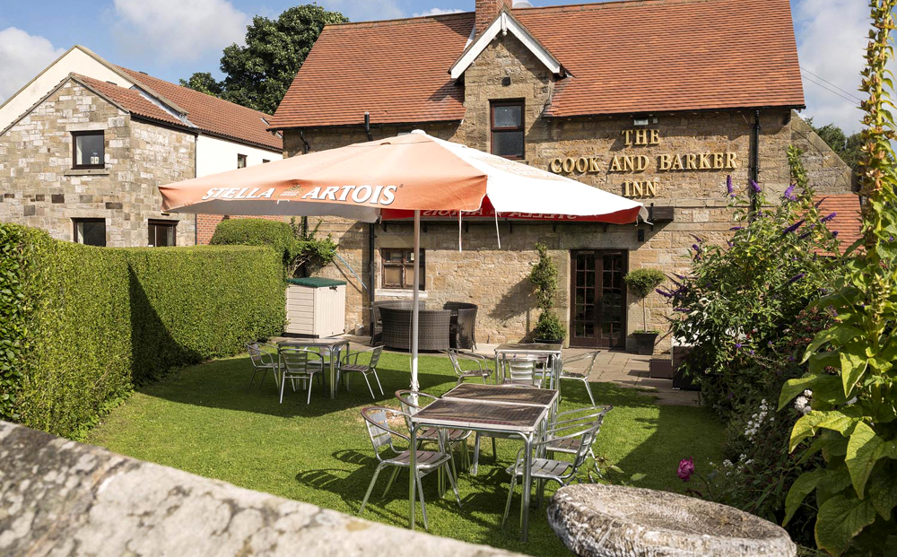


Crabcake Cottage
Crabcake Cottage is a stylishly renovated coastal cottage in the timeless fishing village of…

Craster
4.5 miles (7.2kms)
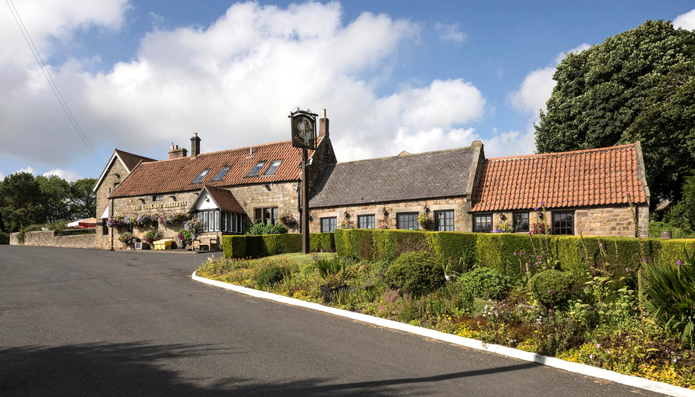
Craster evolved as a simple fishing village, prospering from the once-plentiful herring shoals. At the beginning of the 20th century, over 20 boats worked from the harbour, landing more than 25,000 fish every day. Some were salted in barrels for export to Europe, while others were smoked as kippers and sold in the home markets. At one time the business supported four smokehouses in the village, employing a band of Scottish fishwives to gut and split the fish. They were accommodated in doss houses or 'kips', a word derived from the Danish meaning hut or cheap inn and giving the expression 'to have a kip'. Although the North Sea herring have gone, one smokehouse survives, processing fish brought from Scotland in the traditional fashion over oak sawdust fires from which a wonderful aroma drifts across the village.
Craster's other industry also relied on the sea to export stone cut from the hard sill of whinstone that outcrops as the heughs along the coast. Cut into kerbs and small blocks for use as setts, it was sent along the coast to pave the streets of London and other growing industrial cities. With the later rise in motor transport, the stone was crushed into aggregate to be mixed with tar. The concrete bridge at the end of the pier is all that remains of an overhead cable system that was used to carry the stone from the quarry to the harbour. The industry finished in the 1930s and the quarry was left to become overgrown, but its sheltered situation above a small wetland has developed into an important habitat supporting a diversity of plant and wildlife. Listen for the willow warbler, which comes from southern Africa to breed, and is one of the few birds that moults twice a year to replace worn out feathers.
Howick Hall, passed near the halfway point of the walk, has been home to the Grey family since the beginning of the 14th century. Always a prominent family, the 2nd Earl Grey became Prime Minister in 1830 and oversaw the passing of the Great Reform Act in 1832, which improved representation by abolishing small or 'rotten' boroughs in favour of constituencies reflecting the growth of new industrial cities and extended the franchise to half a million male voters. He is commemorated in a statue topping a tall column in the centre of Newcastle, and is of course famous for supposedly introducing the recipe for a tea flavoured with bergamot oil into the country. The house, rebuilt following a major fire in 1926, is private, but the extensive gardens are open to the public and produce a fine show of flowers throughout the year. They were laid out during the 20th century over two generations by the 5th Earl, his wife and their daughter, Mary, to create an informal, natural space, a contrast to the Victorian garden that preceded it.
Leave the rear of the front car park behind the tourist information centre, along a path into the Arnold Memorial Nature Reserve. Keep left where it forks, shortly leaving through a kissing gate. A trod leads away across pasture along a gentle fold to emerge through another kissing gate onto a lane.
Take the track opposite, which is signed to Howick Hall Gates. By houses at the end of the tarmac, bear left through a gate and keep ahead along a field track. Carry on at the edge of the next field, crossing a track at the far end to a kissing gate. Head half right across grazing below Hips Heugh, a trod leading to a second kissing gate in the right wall. The ongoing path strikes an oblique line left across the next field to leave through another kissing gate at its corner. Walk on beside a strip of wood, eventually curving out right along a track past the entrance to Howick Hall car park onto the corner of a lane.
Go left for 0.5 miles (800m), continuing past a junction to a sharp left bend. Keep ahead through a kissing gate on a gravel track that leads to the coast above Rumbling Kern.
The way lies to the left past a small cottage. The coast path runs above a succession of rocky cliffs before rounding Cullernose Point. Beyond, a shelf of wave-cut rock slopes to the sea, leading the path on towards Craster.
Approaching the village, the way skirts behind Hole o' the Dike and continues behind houses, eventually reaching the terrace garden of the Jolly Fisherman. Leave at the far side above the harbour and turn onto the village street opposite Robson's Smokehouse. Go right and follow the road around left past the lifeboat station back to the car park.
Good field and coast paths, some lane walking, no stiles
Cultivated and grazed farmland, rocky coastline
Under control on leads
OS Explorer 332 Alnwick & Amble
Pay-and-display behind Craster Tourist Information Centre
Beside information centre
Read our tips to look after yourself and the environment when following this walk.
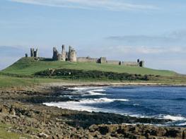
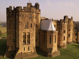
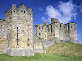
If it’s history you’re after, there’s heaps of it in Northumberland. On Hadrian’s Wall you can imagine scarlet-cloaked Roman legionaries keeping watch for painted Pictish warriors while cursing the English weather and dreaming of home. Desolate battlefield sites and hulking fortresses such as Alnwick, Dunstanburgh, Bamburgh and Warkworth are reminders that this, until not so very long ago, was a contested border region. The ruins of Lindisfarne bear witness to the region’s early Christian history.
Northumberland also has some of Britain’s best beaches. On summer days, and even in winter, you’ll see surfers and other brave souls making the most of the coast. Inland, there are some great walks and bike rides in the dales of the Cheviot Hills and the Simonsides – just hilly enough to be interesting, without being brutally steep. There's dramatic scenery in the High Pennines, where waterfalls plunge into deep valleys, and there are swathes of heather-scented moorland. Northumberland National Park covers over 400 square miles of moorland and valleys with clear streams and pretty, stone-built villages. It’s just the place for wildlife watching too. You’ll find flocks of puffins, guillemots and other seabirds around the Farne Islands, and seals and dolphins offshore.
Discover more than 15,000 professionally rated places to stay, eat and visit from across the UK and Ireland.
Choose a place to stay safe in the knowledge that it has been expertly assessed by trained assessors.
Search by location or the type of place you're visiting to find your next ideal holiday experience.
Read our articles, city guides and recommended things to do for inspiration. We're here to help you explore the UK.