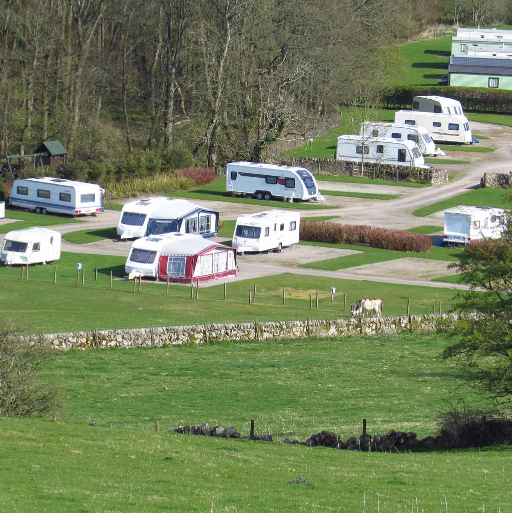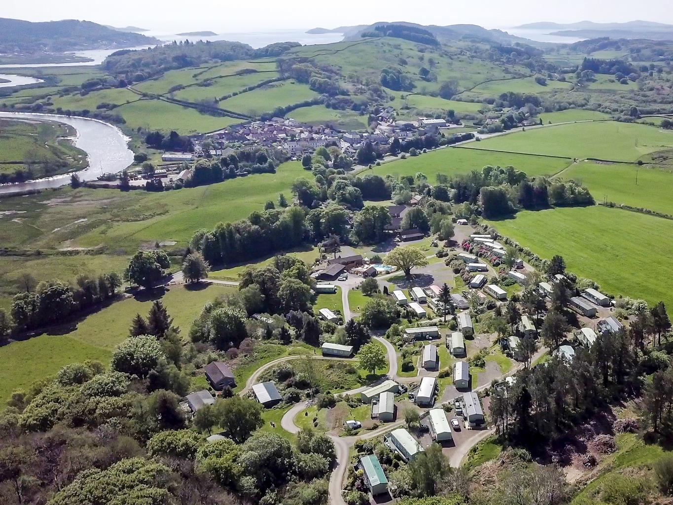

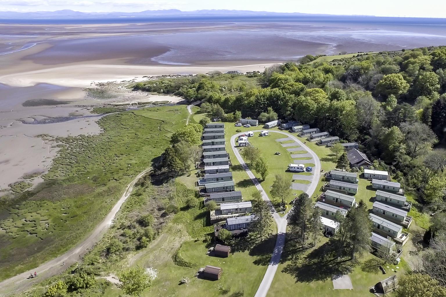
Sandyhills Bay Holiday Park
A well maintained park in a superb location beside a beach, and close to many attractive…

A 13th-century love story of the Lady Devorgilla, set forever in stone
New Abbey
3.75 miles (6kms)
The majestic ruins of Sweetheart Abbey dominate the village of New Abbey. Set against the backdrop of Criffel, Dumfries's highest hill, they stand as testimony to one woman's love, devotion and determination.
Sweetheart Abbey was founded in 1273 by Devorgilla, Lady of Galloway, as a memorial to her late husband, John Balliol, and as a last resting place for them both. When Balliol died at Barnard Castle in 1269, Devorgilla had his heart removed from his corpse, embalmed and placed in a silver-mounted ivory casket which she carried everywhere with her. Devorgilla lived long enough to see the abbey rise beside the River Nith. She died in 1289 at Barnard Castle, Durham, and her body was carried to Dumfries, her last journey following that of her husband through the north of England into Scotland. She was interred at Sweetheart Abbey, next to her husband near the high altar, and the cask containing his heart was placed on her breast. Her devotion and attachment to her husband led the monks to give the abbey the name dulce cor or sweet heart. Within the abbey there can still be seen a now-headless effigy of her holding the casket. Originally the abbey was called New Abbey, to distinguish it from the nearby mother house of Dundrennan, and so the village that subsequently grew up around it took its name.
At the Reformation, supported by the local population and the powerful Maxwell family, the abbot, Gilbert Brown, refused to give up the abbey. Eventually, in 1610, after two evictions and arrests, he was finally sent into exile. The villagers had considerable affection for the abbey and, in 1779, started a fund to ensure its preservation. Now under the care of Historic Scotland, it remains one of the most impressive abbey ruins in Scotland. Although the roof has gone, the cruciform church and massive central tower, built from red Dumfriesshire sandstone, still stand.
The monks of Dundrennan, Glenluce and New Abbey were members of the Order of the Cistercians founded in 1098 at Cîteaux in Burgundy. Directed by the rule of St Benedict they observed a life of poverty, chastity and obedience. In 1136, some white monks of this order travelled north from Rievaulx, in Yorkshire, to found the abbey at Melrose and six years later came to Dundrennan. Although they lived an austere life, the Cistercians played an important part in the trading network. They were the largest producers of wool in the country, at their peak accounting for around 5 per cent of Scotland's total wool production. They provided employment and helped establish towns and burghs throughout the country.
Exit the car park via a kissing gate, cross a farm road and then go through another kissing gate and continue along a track. Turn right after 70yds (64m) through a kissing gate, then head towards the hill on a track between dry-stone walls. Immediately after another kissing gate, in front of the wood, take the rough track off to the right.
Follow a track uphill through the trees by the Craigrockall Burn.
When you reach a T-junction with a forest road, keep straight ahead to pick up the trail on the other side and continue uphill on a well-made path with stones and boulders making steps in places. Cross another forest road and eventually reach a gate. Go through the gate and veer to the left, heading towards the summit of Criffel.
From the trig point you'll have a superb view. Across the Solway to the south is England and the hills of the Lake District. A little to the right of that is the Isle of Man, while the coast of Ireland is visible to the west. The ancient Scotti tribe came from Ireland and founded Scotland. On a good day the summit of Criffel is the best restaurant in town, provided you have remembered to pack the food. When you've eaten your picnic and enjoyed the view (look out for Caerlaverock Castle on the opposite bank of the River Nith) head roughly northwest from the cairn, following a faint path that leads towards the broad ridge that runs from Criffel to the neighbouring hill of Knockendoch. Head downhill, then continue, ascending again, to the summit of Knockendoch.
From the summit cairn head east and go downhill. In the summer, when the heather is particularly thick, the going can be fairly tough and you'll have to proceed slowly and with caution. Make for the fence that runs across the hill in front of you. Turn right here and follow it back to the point you crossed on the way up, then and retrace your steps to the bottom of the hill.
Forest road, rough hill and wood tracks
Hills, tidal estuary, woods and pasture
Keep on lead near livestock
OS Explorer 313 Dumfries & Dalbeattie
Car park at Ardwall farm
None on route
Read our tips to look after yourself and the environment when following this walk.
Dumfries and Galloway is a wonderfully undiscovered corner of Scotland – a romantic land of wooded glens, high hills and exposed moorland, haunted by its colourful past and the ghosts of those who fell in fierce and bloody battles. Heading west from Gretna Green you soon reach Dumfries, straddling the River Nith, where you may see red-breasted mergansers in summer.
The market town has strong associations with one of Scotland’s most famous sons, Robert Burns, who farmed nearby and returned to Dumfries towards the end of his life. You’ll find Burns-related visitor attractions around town, plus a portfolio of other sights ranging from ruined castles and abbeys to quirky museums. You can see for miles from the Camera Obscura, which occupies the top floor of the 18th-century windmill.
To the north lies a vast and endless landscape; mile upon mile of open moorland and afforested slopes stretching towards the Ayrshire coast. On the long haul to Stanraer, you’ll want to make regular stops and visit places like Gatehouse of Fleet, a delightful 18th-century planned town, and Creetown, a planned village on the estuary on the River Cree. Perfect for walking and fishing, Dumfries and Galloway seems gloriously untouched by 20th-century progress.
Discover more than 15,000 professionally rated places to stay, eat and visit from across the UK and Ireland.
Choose a place to stay safe in the knowledge that it has been expertly assessed by trained assessors.
Search by location or the type of place you're visiting to find your next ideal holiday experience.
Read our articles, city guides and recommended things to do for inspiration. We're here to help you explore the UK.