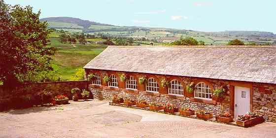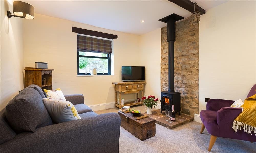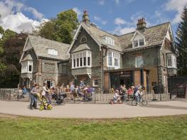

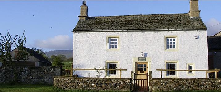
Rose Cottage
If it’s a walking holiday you’re after, Rose Cottage is a great base. Set in the village of…

Caldbeck
15.3 miles (24.6kms)
Caldbeck was an agricultural settlement until the discovery of minerals in the Caldbeck Fells during the 18th century brought about a gradual change of character. Riverside mills were built to provide water power, corn was ground, wool spun and paper manufactured. Lead, copper and coal were mined, limestone was quarried. With such prosperity, pubs were built; by 1829 there were six in the village. Two famous people lie in the churchyard: Mary Robinson, the Maid of Buttermere; and John Peel, born in 1777, who lived in Caldbeck, was Master of the local hunt, died in 1854 and was immortalised in the song ‘D’ye ken John Peel?’.
The ‘Border City’ of Carlisle is a bustling but modest-sized city, with all its main attractions in easy walking distance. In Roman times, Carlisle was a garrison town on Hadrian’s Wall, though little visible remains form this period.
Curiously, while there’s an impressive sculpture to mark the start of the Cumbria Way in Ulverston, there’s no corresponding point in Carlisle and the Way rather fizzles out, though either the Castle or the Cathedral make grand points to aim at. For the sake of argument, we’ll take the passage of the city walls as the finish.
The official route leaves Caldbeck by a lane opposite the car-park, but from the village centre you can also take a walled path alongside the churchyard and across Parkend Beck, then turn right to rejoin the main route. Pass a sewage farm and go through Parson’s Park Wood. At a fork, go left, uphill and then levelling out for a mile (1.6km) or so, about 150ft (45m) above the Beck.
Leaving the forest follow a faint path below banks of gorse, go through a gate then bear left to a gate into woodland. Follow a clear track then bear right before the next gate and descend a steep loose track to the River Caldew. Follow it through woodland, then follow the left edge of a field to join a track. Meeting a road, turn right and cross the bridge, then left on a bridleway signed Sebergham Church. Climb to a house and join a lane.
Opposite the church turn left, along a track, keeping to the right of Sebergham Hall, and descend to a road at Bell Bridge. Cross the bridge and turn right to follow the riverbank past Bog Bridge (a footbridge). There’s lots of evidence of flooding and of the river changing its course so be aware the banks may be undercut in places.
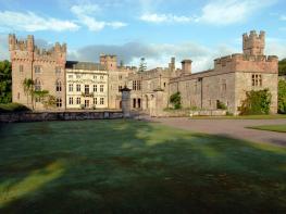
Continue to Rose Bridge, overlooked by the striking sandstone Rose Castle. Cross the road and continue downstream. Follow the path round a backwater where the river has recently changed course then bear left, up a rise, to join a track near Lime House School. Cross its drive and another field to another track near Dancing Holm, a new house in Arts and Crafts style. Follow the track to Hawksdale Hall, then a green track northwards to reach the B5299. Go right to Bridge End then right again to cross the bridge into Buckabank.
Turn right immediately. Go left at the end of a high green fence, near an old mill, through two gates to a tarmac track. Where this bends left, cross a field ahead to rejoin the road. Turn right, then left by a grassy triangle and right before a bridge over a millstream. Waymarking is poor here. Walk alongside the stream and through a mill, turn left over a small bridge then cross the Caldew over White Bridge and out to the road. Turn right through Dalston.
Just after the primary school turn right on the Caldew Cycleway, which runs behind a factory then along the railway. Eventually go under the railway, emerge to a lane, and continue down the west bank through meadows and into the built-up area, passing an impressive weir. When the route joins an old railway at a floodgate, there's a possible shortcut to the railway station by going left, up steps, then right along the road. Otherwise, continue along the old railway, over the Caldew. Emerge to a road and turn left to a busy road. Go right, through the city walls. Carlisle Castle is now visible to the left, while a right turn on Abbey Street takes you past Tullie House and towards the Cathedral. Continue past the Cathedral into the city centre.
Gentle riverside paths; later, surfaced cycleways and city streets
Broadening river valley amid low green hills, leading to historic city
Mostly agricultural land: be aware of livestock
OS Explorer OL 5, 315
Free car-park by bridge in Caldbeck; several large car-parks in Carlisle
In centre of Dalston, on route
<p>Public Transport: just one daily bus between Caldbeck and Keswick; additional services on Saturdays; also service between Caldbeck and Carlisle on Wednesdays. Dalston has regular buses and a railway station.</p>
Read our tips to look after yourself and the environment when following this walk.
Discover more than 15,000 professionally rated places to stay, eat and visit from across the UK and Ireland.
Choose a place to stay safe in the knowledge that it has been expertly assessed by trained assessors.
Search by location or the type of place you're visiting to find your next ideal holiday experience.
Read our articles, city guides and recommended things to do for inspiration. We're here to help you explore the UK.