Located at the end of a chestnut tree-lined drive on the edge of the Chatsworth Estate, Fischer'…
Curbar and Baslow edges
The gritstone outcrops of the Derwent Valley provide a high-level thrill for walkers and climbers.
3.25 miles (5.3kms)
About the walk
The Derwent Valley both dominates and defines the eastern side of the Peak District. Derbyshire’s longest river rises on the remote moors of Bleaklow, then flows 66 miles (106km) via Matlock to join the Trent south of Derby and so on to the North Sea. In its lower reaches the Derwent meanders over flat and gentle farmland, but through the Peak District the valley’s high eastern rim sports a succession of dark, often continuous gritstone cliffs known as edges. Stanage, Froggatt, Curbar and Baslow edges provide wonderful viewpoints and exhilarating walking, but the exposed crags, cliffs and boulders have also made the area one of the foremost in England for climbing. The most popular location is Stanage Edge, above Hathersage, where there are as many as 500 individual climbing routes; intrepid roped climbers scaling the rock faces are a common sight all along the edges.
The Eagle Stone
Even on Baslow Edge, which for most climbers is rather tame by comparison, there may be one or two climbers practising their moves on the Eagle Stone. Mind you, this giant gritstone boulder, weathered into weird shapes and sitting quite alone amid the heather, has long been a source of challenge. In centuries past, the eager young men of Baslow used to climb unaided to the top to demonstrate their manly prowess and eligibility for marriage.
Within sight of the Eagle Stone is another rocky highlight, although this time it’s not entirely natural. Wellington’s Monument was built in 1866 by a local doctor as a tribute to the Duke of Wellington, who had died a few years before. It complements the Nelson Monument erected on Birchen Edge, less than a mile (1.6km) to the southeast. Curiously, near this particular stone obelisk are several huge (and quite natural) rocks shaped like the prows of ships and bearing the carved names of three of Nelson’s ships – Victory, Defiant and Soverin (sic).
Ridge with a view
The traverse of the lower slopes below the edge is just a precursor to the main act, since the last lap of this short walk is along the rocky rim itself, with outstanding views that are full of interest. To the south are the distinctive tree-lined avenues and parkland of Chatsworth, with a belt of woodland and extensive heather moors behind. Westwards across the valley you can see the quarried flanks of Longstone Edge, with some of the workings still active; and below your feet are the villages of Baslow, Curbar and Calver, laid out across the valley’s green floor and with the River Derwent flowing between them.
Walk directions
Follow the sign for Baslow Edge out of the western end of the car park and across the road onto a path beside a wall. When you come to a kissing gate, alongside two other gates, don’t go through this but turn right for a narrow path along the top of the roadside bank downhill. Turn left at a public footpath sign, go through a gate and follow the path down the open slope.
At a junction of tracks, and with a gate ahead, turn left. Keep Baslow Edge high on your left and head south on the level, main track, ignoring smaller paths off to the left and right. At a junction go straight over, signposted ‘Footpath Baslow’, to reach a gate.
Walk through the next field and join a walled track. Follow this into another field and where the track bends sharply right go straight ahead to cross a high ladder stile in the wall. Continue along the top of the next field, with the River Derwent far below on your right, and eventually drop down towards the rooftops and the upper edge of Baslow.
Go through a gate to join a narrow and initially metalled lane, shaded by trees. Turn left and follow this as it winds its way steadily uphill, ignoring several side paths. It soon becomes unsurfaced and goes through a gate. Continue all the way to the very top where you emerge at a junction of tracks at the southern end of Baslow Edge.
After a there-and-back excursion to Wellington’s Monument (right) and the Eagle Stone (ahead), turn left for a narrow and bumpy path along the edge of the rocks. (As an alternative, an easier return is along the flat path via the Eagle Stone.) Continue among the rocky outcrops and out across a grassy area as far as a small, walled viewing point with a useful viewfinder.
Follow a semi-surfaced path from the viewpoint back towards Curbar Gap. Go through a gate to take the path on the right back across the road to the car park.
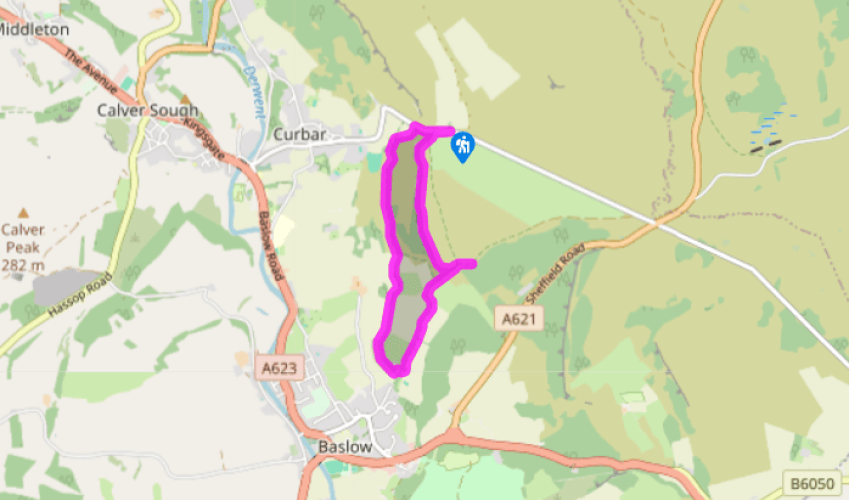
Additional information
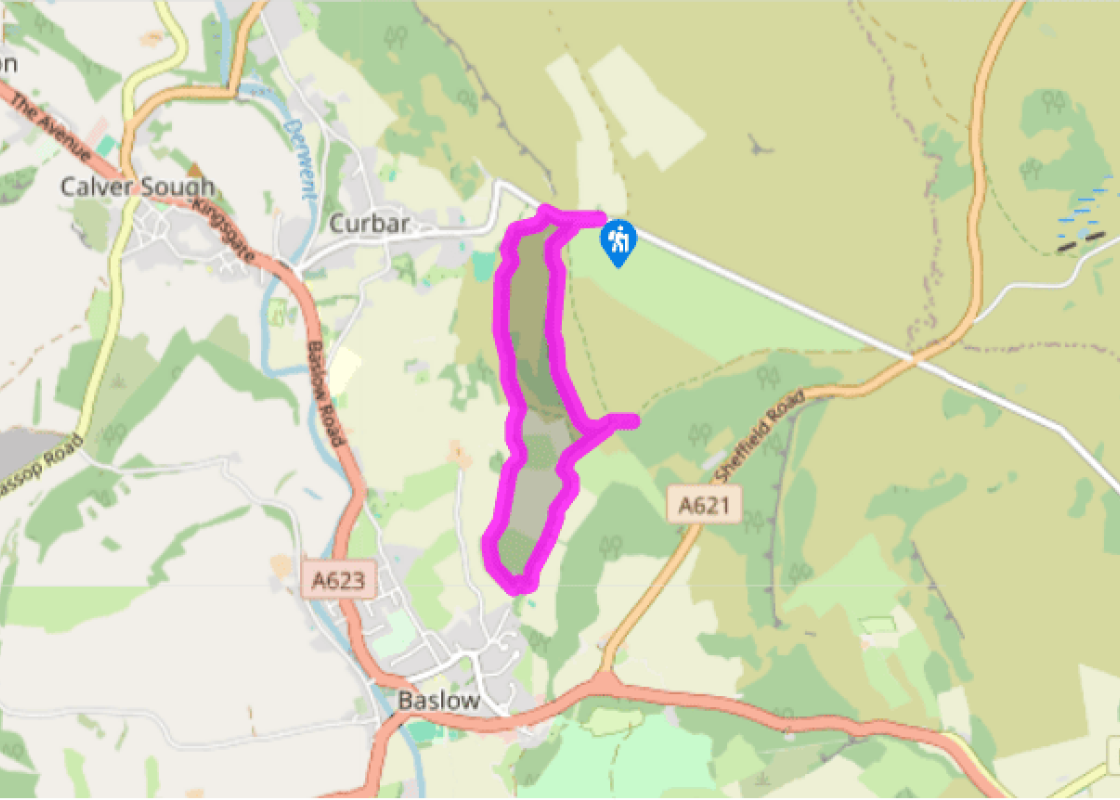
Field paths and firm moorland tracks
Rough pasture, heather moorland and rocky gritstone edge
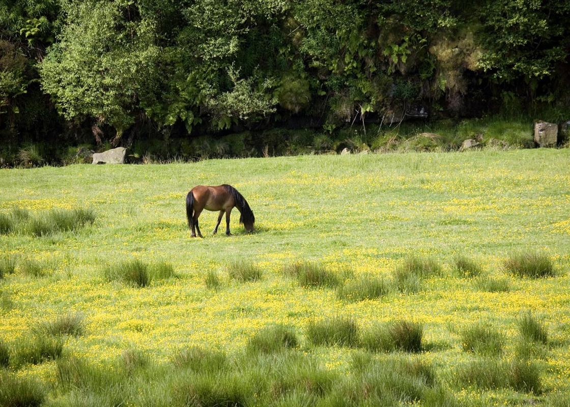
Lead required around cattle and calves which graze on Baslow Edge
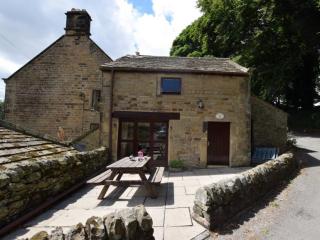
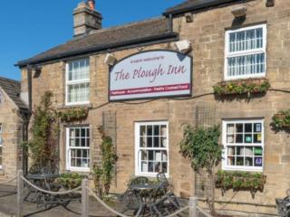
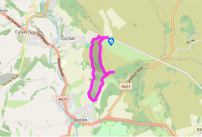
OS Explorer OL24 White Peak
Peak Curbar Gap pay car park
None on route; nearest at Baslow, by car park
<p>Beware of sudden drops along Baslow Edge itself</p>
WALKING IN SAFETY
Read our tips to look after yourself and the environment when following this walk.
Find out more
Also in the area
About the area
Discover Derbyshire
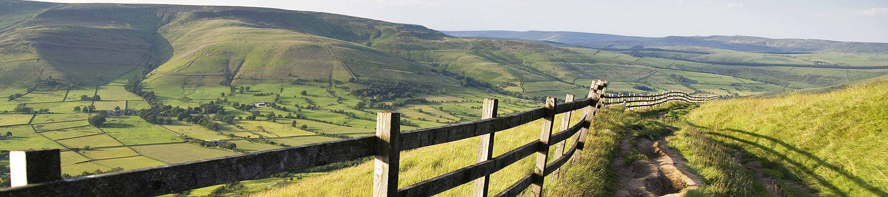
The natural features of this central English county range from the modest heights of the Peak District National Park, where Kinder Scout stands at 2,088 ft (636 m), to the depths of its remarkable underground caverns, floodlit to reveal exquisite Blue John stone. Walkers and cyclists will enjoy the High Peak Trail which extends from the Derwent Valley to the limestone plateau near Buxton, and for many, the spectacular scenery is what draws them to the area.
The county is well endowed with stately homes – most notably Chatsworth, the palatial home of the Duke and Duchess of Devonshire, with its outstanding collections of paintings, statuary and art. Other gems include the well preserved medieval Haddon Hall, the Elizabethan Hardwick Hall, and Kedleston Hall, whose entrance front has been described as the grandest Palladian façade in Britain.
The spa town of Matlock is the county’s administrative centre and other major towns of interest include Derby and the old coal mining town of Chesterfield, with its crooked spire. Around the villages of Derbyshire, look out for the ancient tradition of well dressing, the decorating of springs and wells – the precious sources of life-sustaining water – with pictures formed from flowers.
Nearby stays
Restaurants and Pubs
Nearby experiences
Recommended things to do
Why choose Rated Trips?
Your trusted guide to rated places across the UK
The best coverage
Discover more than 15,000 professionally rated places to stay, eat and visit from across the UK and Ireland.
Quality assured
Choose a place to stay safe in the knowledge that it has been expertly assessed by trained assessors.
Plan your next trip
Search by location or the type of place you're visiting to find your next ideal holiday experience.
Travel inspiration
Read our articles, city guides and recommended things to do for inspiration. We're here to help you explore the UK.