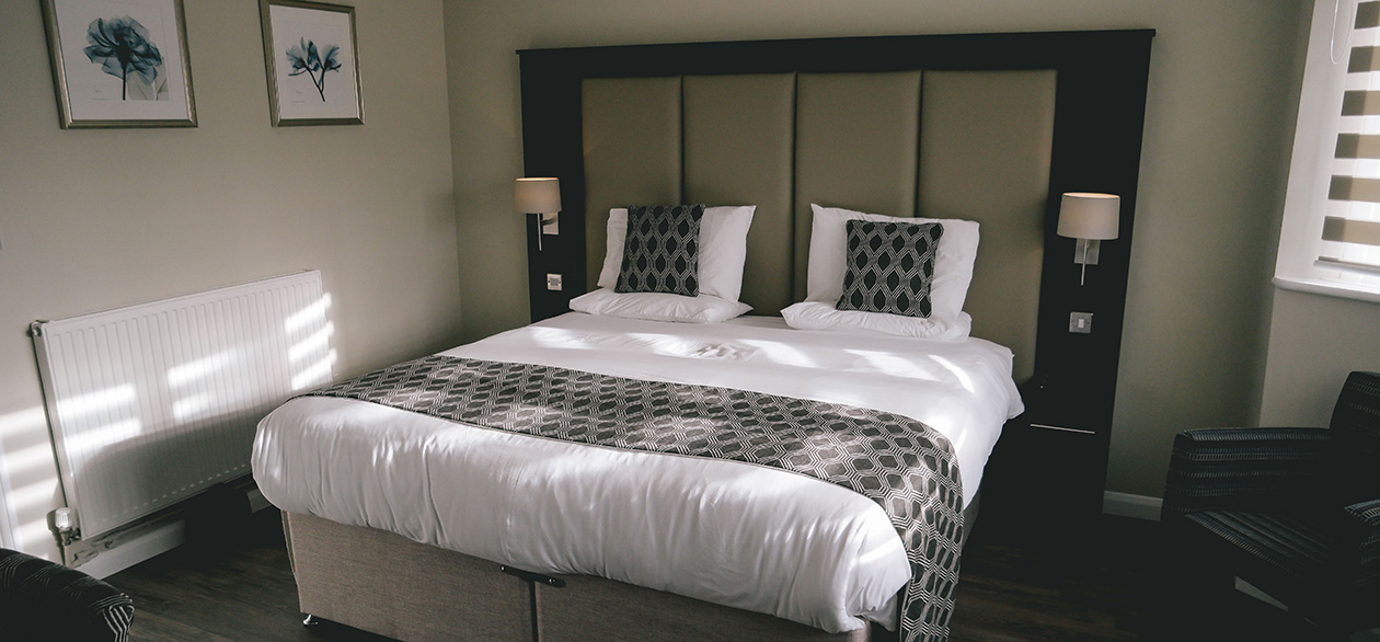
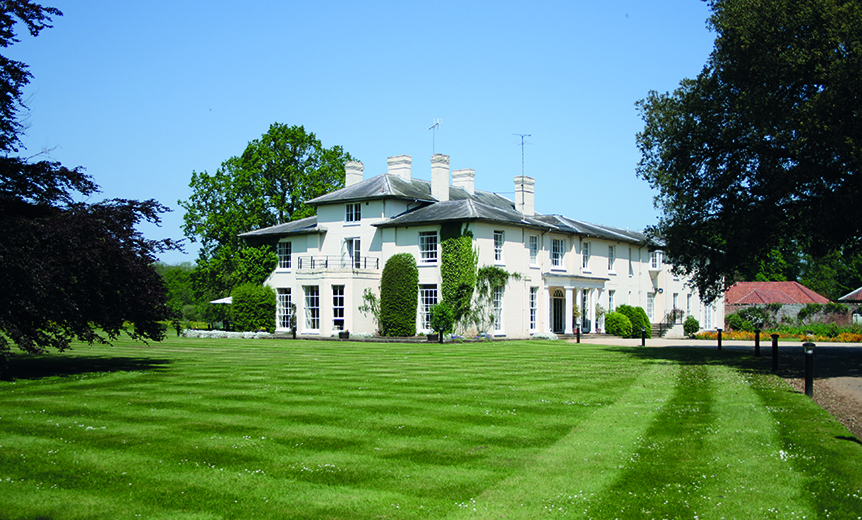


Lakeside Caravan Park & Fisheries
A peaceful park set around five pretty fishing lakes with several well maintained grassy touring…

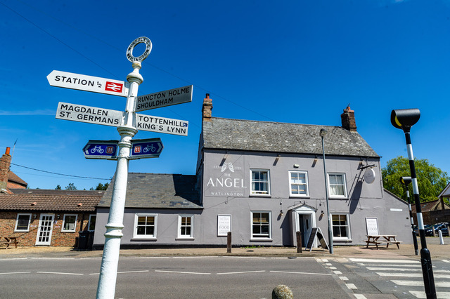
Downham Market
6.75 miles (10.9kms)
The 'settlement on the hill', Downham dates back to the Saxon era and grew as a market town held by the early Benedictine abbey at Ramsey, near Peterborough. At the time, it overlooked a vast fen that stretched from The Wash to Cambridge, most of it barely above sea level and watered by the rivers Nene, Cam and Great Ouse and a host of smaller streams.
Although the monasteries had wrested some productive farmland from the marshes, no real headway was made until the 17th century when the Duke of Bedford employed the Dutch engineer Cornelius Vermuyden. Big problems require bold solutions and amongst Vermuyden's proposals were two 20-mile (32km) parallel drains from Earith, the Old and New Bedford rivers. Sluices at Denver controlled their outflow to the tidal River Great Ouse and an area between them served to pond flood water.
Perversely, draining the peat caused shrinkage and large areas sank below river level, requiring pumps to lift the water. Wind, steam and then diesel fought an uncertain battle until the introduction of electric pumps brought greater reliability and capacity. But, exceptional rain and storm surges still threaten the system and work never ceases. The Great Ouse Relief Channel, which parallels the river during this walk, runs from Denver to King's Lynn and was opened in 1965 after major flooding in 1937, 1945 and 1953.
Many of Downham Market's older buildings are constructed from local carstone, a friable sandstone rich in iron and coloured a deep rusty brown. As a result Downham is sometimes called the 'Gingerbread Town'. The stone is not suitable for cutting into squared building blocks and so corners, doorways and window openings were often made with brick or, in the case of the church, fine limestone that was floated downriver on barges from Barnack. Other notable buildings include the Dial House, part of an old malthouse and which has a large sundial on the wall, and Heygate's Mill, built in 1851 by the Bird family, whose emblem was the eagle which perches above the doorway. Both are passed as you leave the town along Bridge Street and Railway Road, as is a curious corner shop doorway on the corner of Paradise Road, which is surmounted by a jolly head of Queen Victoria. Paradise Road, however had a more macabre past, being the location of the town's gallows. It was said that the final journey down the lane was the closest the poor felon would ever get to Paradise.
The town's market dates back to a charter granted to the monks in 1050 and is still held every Friday and Saturday. In medieval times, there was also a weekly butter market, which sent vast quantities of butter upstream to Cambridge and thence to London packed in wooden barrels called firkins, which held 9 gallons (41 litres). In Downham's more recent past, the town hosted one of the largest annual horse fairs in the country, with many of the horses sent to the front during the First World War being traded through the town.
Head left along Paradise Road to a mini-roundabout by the Castle Hotel. Go right along High Street and then right again by the Swan Hotel into Bridge Street, passing the town clock, Market Square and Town Hall. Keep ahead as it becomes Railway Road, eventually crossing the railway and then a bridge over the Great Ouse Relief Channel.
Immediately beyond the bridge, leave over a stile beside a gate on the right. Follow a track that winds left behind buildings onto a dyke overlooking the River Great Ouse. Head away to the right. Although the Relief Channel runs straight, the river meanders and is tidal, exposing banks of mud that attract waders. Owls patrol the surrounding grasslands and there are occasional boxes to encourage nesting in this otherwise open landscape. After 2.5 miles (4km) the path meets a lane at the edge of Stow Bridge.
Go right, passing The Heron pub and restaurant. Immediately over a bridge spanning the Relief Channel turn off through a kissing gate on the right and walk away along the riverbank. After 300yds (483m), just beyond a railing protecting a sluice outlet, branch left onto the high dyke above the railway. Drawing level with a farmhouse, drop left to a gate and carefully cross the line. Walk away past the buildings, following the ongoing track for 0.5 mile (800m) to Gullpit Farm.
Just before the buildings, opposite a hard-standing, turn off through a wide gap on the right. Walk away along the broad margin beside a wood to find a track at the far side of the field. Go left but leave almost immediately through a gap on the right. Follow the field edge left, turning within the corner to reach a footbridge onto the road. Head right along the road into Wimbotsham. Keep forward at a mini-roundabout, shortly reaching a junction by the village green.
Turn right towards Downham, following the lane for 0.25 mile (400m). Approaching houses, take the second of two tracks either side of a hard standing on the right and head towards the corner of a wood. Fork left beside the trees, continuing beyond the next corner with the boundary on your left. Over a footbridge, keep going at the edge of abandoned pastures behind a small housing estate. Meeting a grass track, go left to emerge onto a street.
Follow it away to the right, later swinging left with the main thoroughfare into Clackclose Road. Meeting the main road, turn right into Downham. At traffic lights by the church, bear right along High Street and then go right again at a mini-roundabout by the Castle Hotel back to the car park.
Riverside footpaths, lanes and town streets
Flat fenland and arable farmland
Dogs under control and on leads near grazing livestock and along lanes
OS Explorer 236 King's Lynn, Downham Market & Swaffham
Council car park in Paradise Road
In Downham Market on Bridge Street, behind Town Hall
Read our tips to look after yourself and the environment when following this walk.
The North Norfolk Coast is designated an Area of Outstanding Natural Beauty and probably the finest of its kind in Europe. Here you’ll find a string of quaint villages and small towns – Holkham, Wells-next-the-Sea and Cley next the Sea are 21st-century favourites, while Sheringham and Cromer are classic examples of a good old-fashioned seaside resort where grand Victorian hotels look out to sea. Further round the coast you'll find Great Yarmouth, one of the most popular resorts in the UK and packed full of amusements, shops and seashore entertainment. And let's not forget Norwich, the region's only city.
Norfolk prides itself on its wealth of historic houses, the most famous being Sandringham, where Her Majesty the Queen and her family spend Christmas. Many of Norfolk’s towns have a particular charm and a strong sense of community. The quiet market towns of Fakenham and Swaffham are prime examples, as well as Thetford, with its popular museum focusing on the TV comedy series Dad’s Army which was filmed in the area.
Discover more than 15,000 professionally rated places to stay, eat and visit from across the UK and Ireland.
Choose a place to stay safe in the knowledge that it has been expertly assessed by trained assessors.
Search by location or the type of place you're visiting to find your next ideal holiday experience.
Read our articles, city guides and recommended things to do for inspiration. We're here to help you explore the UK.