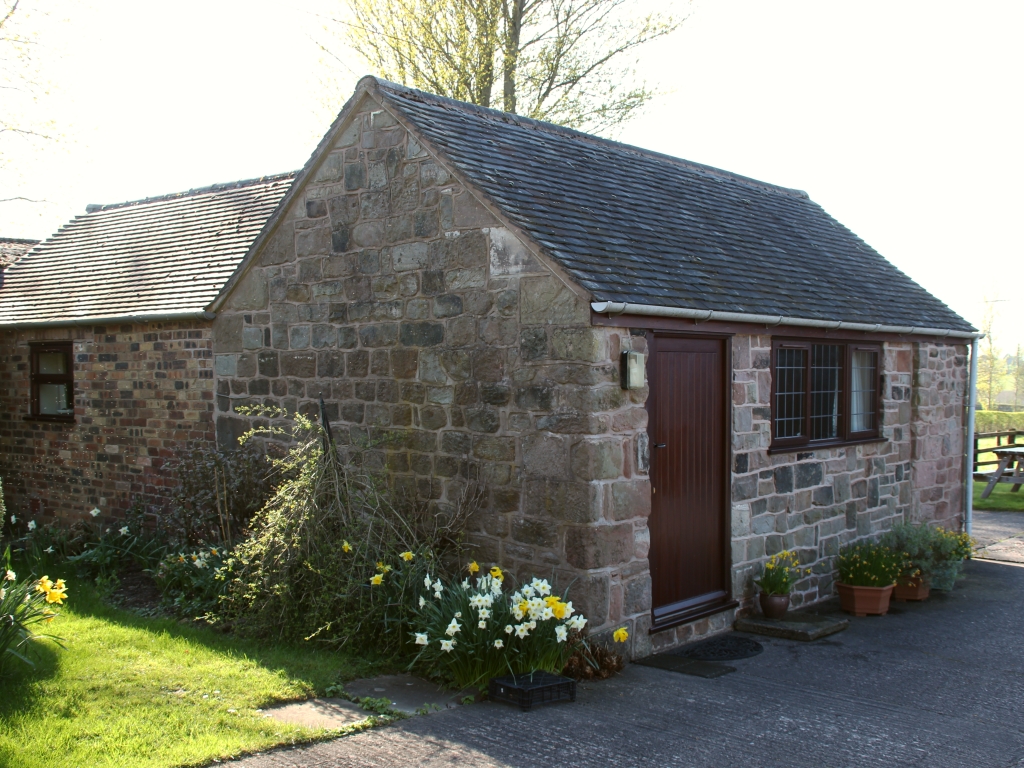


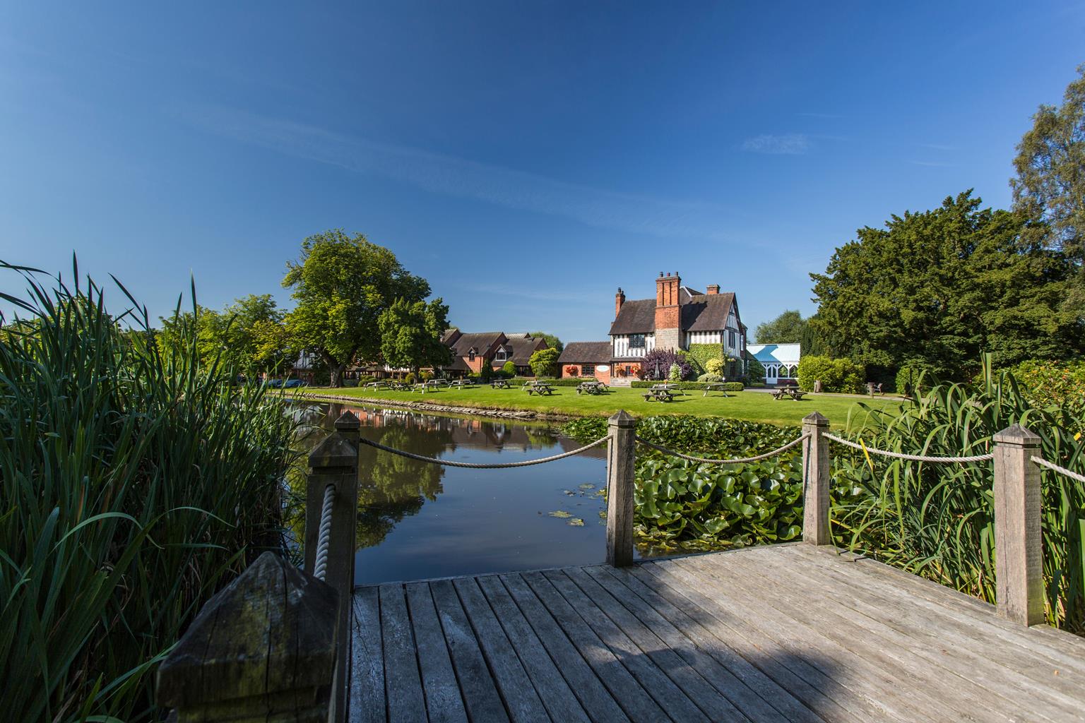


Moddershall Oaks Country Spa Retreat
Set in 72 acres of stunning Staffordshire Countryside, Moddershall Oaks Country Spa offers spa…

A small valley of woods and heath near Stone is being preserved for both wildlife and people
Downs Banks
2 miles (3.2kms)
For many first-time visitors Downs Banks comes as something of a surprise. Amid the more open farmland of north Staffordshire, with its rugged pasture and ridges, this enclosed little valley centred on Downs Banks Brook is, to use the National Trust’s own description, a little wilderness of woodland and heath.
Downs Banks were once crossed by an ancient packhorse trail from the East Midlands to Chester. They remained common land until the end of the 18th century, when they were enclosed by hedges for farming, traces of which can still be seen, particularly near the picnic sites. Until the 1940s the land was used to grow hops bound for the nearby Joules brewery. In 1950, when the area was threatened with industrialisation from Meaford Power Station, 160 acres (65ha) were purchased by John Joules & Sons, endowed by public subscription and given to the National Trust so that the public could enjoy the area forever. Today, a memorial stone of Cornish granite stands near the south corner of the park to commemorate this presentation, and to serve as a tribute to those who lost their lives during World War II.
Another monument in Downs Banks is the Millennium Viewpoint, a small stone pillar erected by Barlaston and Stone rural parish councils at the highest point of the estate. Depending on the weather, of course, there are far-off views of such landmarks as the Wrekin and Long Mynd far to the south and Mow Cop Castle and Axe Edge to the north.
Since taking on Downs Banks the National Trust has tried to maintain the heath and woods in the face of encroaching scrub and invasive vegetation like bracken. It not only helps retain the landscape character, in particular preserving the relatively scarce acidic grassland and encouraging the native heather and bilberry, but also benefits rare wildlife like lizards and snakes traditionally associated with sandy heaths. One of the ways they do this is by grazing cattle on fenced areas during the summer and you will probably encounter this roaming but docile beef herd on your walk.
There is a real mix of woodland across Downs Banks, from birch and native oak to even a small pine plantation half way down a slope. At the foot of the valley are shady, marshy areas beside the brook where alders, willow and marsh marigolds grow. Together with the heath and open grassy slopes, Downs Banks really is a wonderful mix of habitat all concentrated into an unassuming little valley just a stone’s throw from the Potteries.
With your back to the car park turn left on to the wide bridleway into the centre of Downs Banks. Just before you reach gates ahead and right go left on a grassy path. Ignore the route uphill and instead swing left and down to cross Downs Banks Brook via a couple of stepping stones.
Cross the stile and turn left on to the firm path. Go through a gate and continue along the hillside path, with the stream below on your left. The path gradually drops down and when you reach a section of stone banking beside the stream go right, up a stepped path.
Follow this rising path around the western boundary of the estate, with good views both across Downs Banks and west to the Hanchurch Hills. Continue through a gate and on until a broad track branches off to the right down the slope.
Walk down this waymarked bridleway and at the bottom, in front of a gate and the stream, go left on the wide track. Ignore a left fork uphill beyond a bench and turn right, alongside the stream, to cross it via a footbridge.
On the far bank fork right, up some shallow steps, and at the path junction go straight over for a broad track up the spur of the hill. Steadily climb the semi-open hillside until you reach the Millennium Viewpoint on the open hilltop.
Continue along the main path. In 150yds (137m) turn right well before you reach a gate for a wide track out across and then down the open hillside. Beyond a gate continue downhill through pine trees until you reach a broad track. Turn left to return to the car park.
Unsurfaced paths and tracks, mostly firm, 1 stile
Wooded valley with open grassy slopes and heath
Dogs are welcome throughout the site, but signs request that all dog mess is cleared up and removed
Suggested map OS Explorer 258 Stoke-on-Trent
Main visitor car park, off Washdale Lane
None on route, nearest in Stone
Read our tips to look after yourself and the environment when following this walk.
It was Staffordshire that bore the brunt of the largest non-nuclear explosion of World War II, when a munitions dump at RAF Fauld went up in 1944. It was also the county’s regiment that once boasted within its ranks the most decorated NCO of World War I, in the person of William Coltman (1891-1974). Going back a little further, George Handel penned his world-famous masterpiece The Messiah on Staffordshire soil. During another chapter of Staffordshire history, the county was home to the first canals and the first factory in Britain, and it had front-row seats for the drama surrounding one of the most notorious murder trials of the 19th century, that of Doctor William Palmer.
In outline, Staffordshire looks not unlike the profile of a man giving Leicestershire a big kiss. The man’s forehead is arguably the best region for hillwalking, as it comprises a significant chunk of the Peak District. This area is characterised by lofty moors, deep dales and tremendous views of both. Further south are the six sprawling towns that make up Stoke-on-Trent, which historically have had such an impact on Staffordshire’s fortunes, not to mention its culture and countryside. This is pottery country, formerly at the forefront of the Industrial Revolution and the driving force behind a network of canals that still criss-cross the county.
Discover more than 15,000 professionally rated places to stay, eat and visit from across the UK and Ireland.
Choose a place to stay safe in the knowledge that it has been expertly assessed by trained assessors.
Search by location or the type of place you're visiting to find your next ideal holiday experience.
Read our articles, city guides and recommended things to do for inspiration. We're here to help you explore the UK.