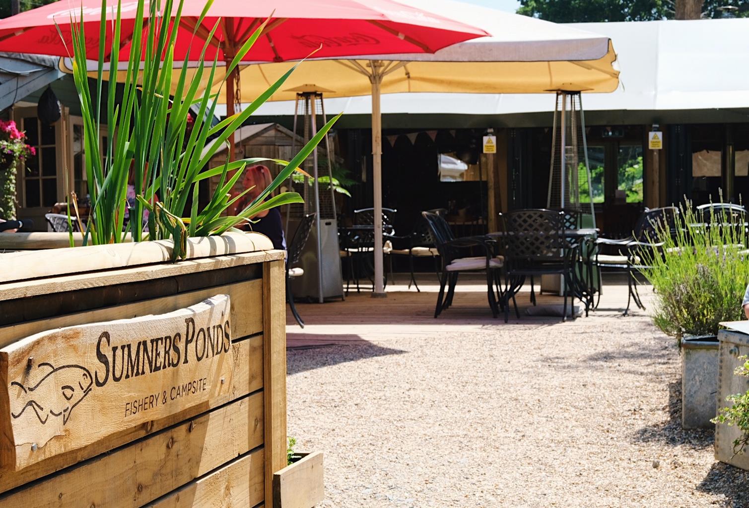
Sussex Luxury Accommodation
Walnut Barn and Walnut Cottage are distinctive character properties in a tranquil, secure, rural…

Christ's Hospital
9.7 miles (15.6kms)
The Downs Link, a bridleway link between the South Downs Way and the North Downs Way, is well waymarked, using signposts adorned with the ‘two-tiered bridge’ logo. This section continues northwest across relatively flat country from Christ’s Hospital school in Sussex. It skirts the village of Slinfold and burrows its way through the little community of Rudgwick by means of a deep cutting before crossing the border into Surrey, completing its journey in Cranleigh, one of many claimants to the title of ‘Largest Village in England’.
Walk along the station access road. Ignore a left fork and, shortly, join another road and go ahead. After 200yds (183m), bear right over the railway, now on the Downs Link. The route resorts to quiet roads for the next mile (1.6km). At a road junction after 0.5 miles, turn right.
For a short diversion, take the field path ahead for 0.25 miles (400m) to the interesting church at Itchingfield.
Back on the main route, after another 0.5 miles (800m), where the lane bends to the left, turn right along the drive signed to Baystone House. Cross the old railway and double back to the left down on to the track bed.
Towards Slinfold, the Downs Link crosses Hayes Lane, where a faded advertisement on the brick wall of a house was clearly designed for train passengers. The village is refreshment is available. For anyone attempting to complete the Downs Link in two days, this is a good stop-over point, with just about half the journey (20 miles/32.2km) completed.
The site of Slinfold Station, 0.25 miles (400m) further on, has been converted to a caravan site with a car park beside the line. From here, a nature trail has been laid out through woodland typical of the Sussex Weald, a mixture mainly of oak and ash. From this point northwards to Bramley, near Guildford, the land alongside the line, all in public ownership, has been carefully ‘managed’ in order to conserve a wide variety of wildlife. When the railway closed, the embankments reverted to dense scrub and woodland and many plants and animals declined or disappeared. Now a valuable ‘wildlife corridor’ has been restored.
After another 1.5 miles (2.5km), you will come to the two-tier bridge over the River Arun which features on the Downs Link logo. The building of one bridge on top of the other was necessitated by the 19th-century railway inspector’s requirement that the steep gradient up to Rudgwick should be eased. Cross the busy A281 road with care as the traffic is fast. A few more minutes’ walking brings you to the site of Rudgwick Station, where there is a small car park and easy access to the village street and small Co-op store.
Gravel and stone of a disused railway line, one short section of earth and gravel through woods
Farmland, copses and villages
Excellent for dog walking but do beware of cyclists
OS Explorer 134
At start at station (pay and display)
In Village Way car park, Cranleigh
Read our tips to look after yourself and the environment when following this walk.
Discover more than 15,000 professionally rated places to stay, eat and visit from across the UK and Ireland.
Choose a place to stay safe in the knowledge that it has been expertly assessed by trained assessors.
Search by location or the type of place you're visiting to find your next ideal holiday experience.
Read our articles, city guides and recommended things to do for inspiration. We're here to help you explore the UK.