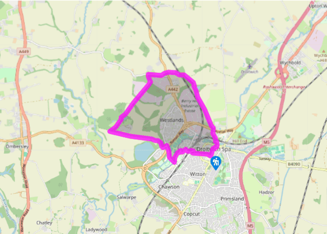
Droitwich Spa and around
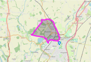
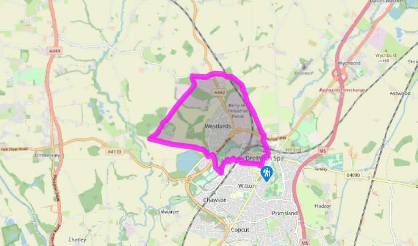
Begin outside the library walk west, along Victoria Square and then into Ombersley Street East. When it bends go straight on, passing a medical centre. After an underpass proceed to St Nicholas’ Church. Go beyond the churchyard then right, to take another underpass. Turn left. Take the road over the railway to a roundabout, filtering right to go through a third underpass. Walk for 50yds (46m) to a fence corner, near a lamppost. Turn left, marked ‘Cycleway 45’. In 30yds (27m) turn right. At the bottom of this cul-de-sac, Westmead Close, turn left. Soon take Ledwych Close, on the right. At the canal you are effectively out of Droitwich Spa.
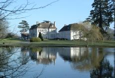
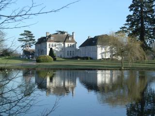
Turn left. At the bridge turn right, passing sports facilities and schools. Turn left just beyond the A38 bridge, into Westwood Way. In 110yds (100m) reach the Westwood House slip road. Facing some allotments, take a gate to the left and walk parallel to the allotments. Beyond this woodland, through a kissing gate, reach a driveway. Cross a truly enormous arable field. Over a track and another driveway, finally reach a corner of Nunnery Wood.

Been on this walk?
Send us photos or a comment about this route. Or recommend a route of your own.

Walking in Safety
Read our tips to look after yourself and the environment when following this walk.

Get an AA guide
Explore our range of ‘50 Walks in’ guides - they’re the ideal companion for a ramble.
Been on this walk?
Send us photos or a comment about this route. Or recommend a route of your own.
Walking in Safety
Read our tips to look after yourself and the environment when following this walk.
Get an AA guide
Explore our range of ‘50 Walks in’ guides - they’re the ideal companion for a ramble.
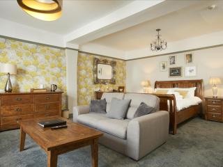
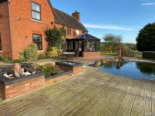
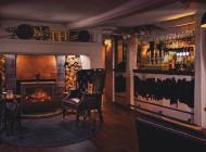
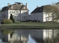
Nearby places to stay
View all (8)