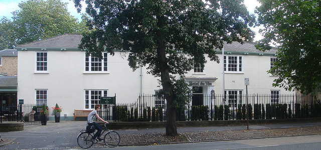


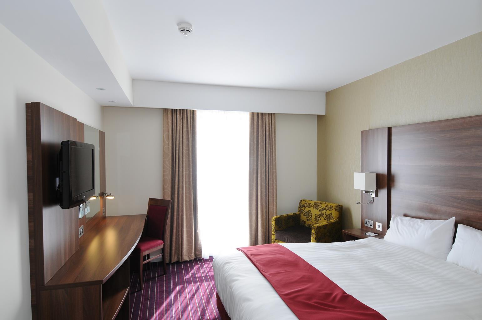
Days Inn Wetherby
This modern building offers accommodation in smart, spacious and well-equipped bedrooms,…

Long stretches on the tranquil banks of the River Wharfe make this a delightful walk, interspersed with villages and woodland
Tadcaster
8.4 miles (13.5kms)
This is a lovely riverside section, heading upstream beside the River Wharfe. Soon leaving Tadcaster, a town today dominated by its massive brewery, the route crosses wide meadows and fields grazed by cattle and sheep, goes beneath handsome old railway viaducts, and passes the elegant Newton Kyme Hall. After a short burst of pavement, the route returns to the waterside for a leafier stretch to reach the narrow stone bridge linking Boston Spa with the village of Thorp Arch. The final mile or so is along a series of green lanes to the edge of Wetherby, one of West Yorkshire’s most charming market towns famed for its floral displays and National Hunt racecourse. Once a staging post on the Great North Road (it’s the mid-point between London and Edinburgh), thankfully it’s now bypassed by the modern A1(M), leaving the town a thriving and pleasant place.
Cross over the bridge coming from York and turn right beside the River Wharfe. It was to the centre of Tadcaster Bridge that kings were escorted by the mayor and bailiffs of York, this being the limit of their control. Tadcaster saw the remnants of the Lancastrian forces pass by after their defeat at the Wars of the Roses Battle of Towton Moor in 1461; the bloodiest battle fought in Britain, with between 28,000 and 38,000 men killed out of some 76,000 on the field. The walk beside the river passes Tadcaster Church on the left. The church was taken down and reconstructed in 1877 to reduce the risk of flooding from the nearby river. Inside are some interesting Art Nouveau furnishings which were made locally. Follow the pleasant riverside path for the next 2 miles (3.2km). The route to Wetherby coincides with the 44-mile (71km) Bounds of Ainsty Walk, beside the Rivers Nidd, Wharfe and Ouse.
When the riverside path approaches Newton Kyme, the Ebor Way turns left, away from the river and around the boundary of Newton Kyme Hall, to reach a road. On the way there are good views of both the church and Newton Kyme Hall. Turn left down the road, passing pretty stone cottages and, further on, the former tithe barn.
At the end turn right for 0.25 miles (400m) along the pavement of the A659, then turn right again along a signposted path to the river and here turn left. At this point there is an ancient crossing over the River Wharfe. On the Newton Kyme side of the lane is the site of a small Roman fort and the prehistoric Rudgate trackway leads down to it.
Follow the riverside path, one of the finest stretches on the whole of the route, until it passes along the edge of Boston Spa and reaches the bridge into Thorp Arch. On the approach to the bridge, pass the spa which gave the town its name; it was discovered in 1744 and the saline spring was believed to be beneficial in treating rheumatism.
Turn right on to the narrow bridge over the River Wharfe, into Thorp Arch. Continue through this pleasant village, which is mentioned in the Domesday Book as Torp. All Saints’ Church was rebuilt in 1871 by the noted architect GE Street, and it retains its Norman south doorway. The walk passes the Pax Inn, an unusual name probably taken from the racehorse that won the Ebor Handicap at York in 1860.
Continue along the road for 0.5 miles (800m) beyond the village, then turn left along a signposted track. Turn right to pass along the top edge of a wood and bear left to Flint Mill Grange Farm. The flint mill used to be on the other bank of the river and flint powder was used as a whitening agent by the pottery trade in the 18th century. The walk continues past the farm buildings and straight ahead, across the fields and a lane, to finally reach the Al(M) road. Turn right and left to cross over the road bridge into Wetherby.
Green tracks and a few pavements, but note that the narrow waterside path between Newton Kyme and Thorp Arch can be slippery and liable to flooding following after heavy rain
Mostly wide riverside pasture
On lead through riverside fields grazed by cattle and sheep, but better further on through woods and along green lanes
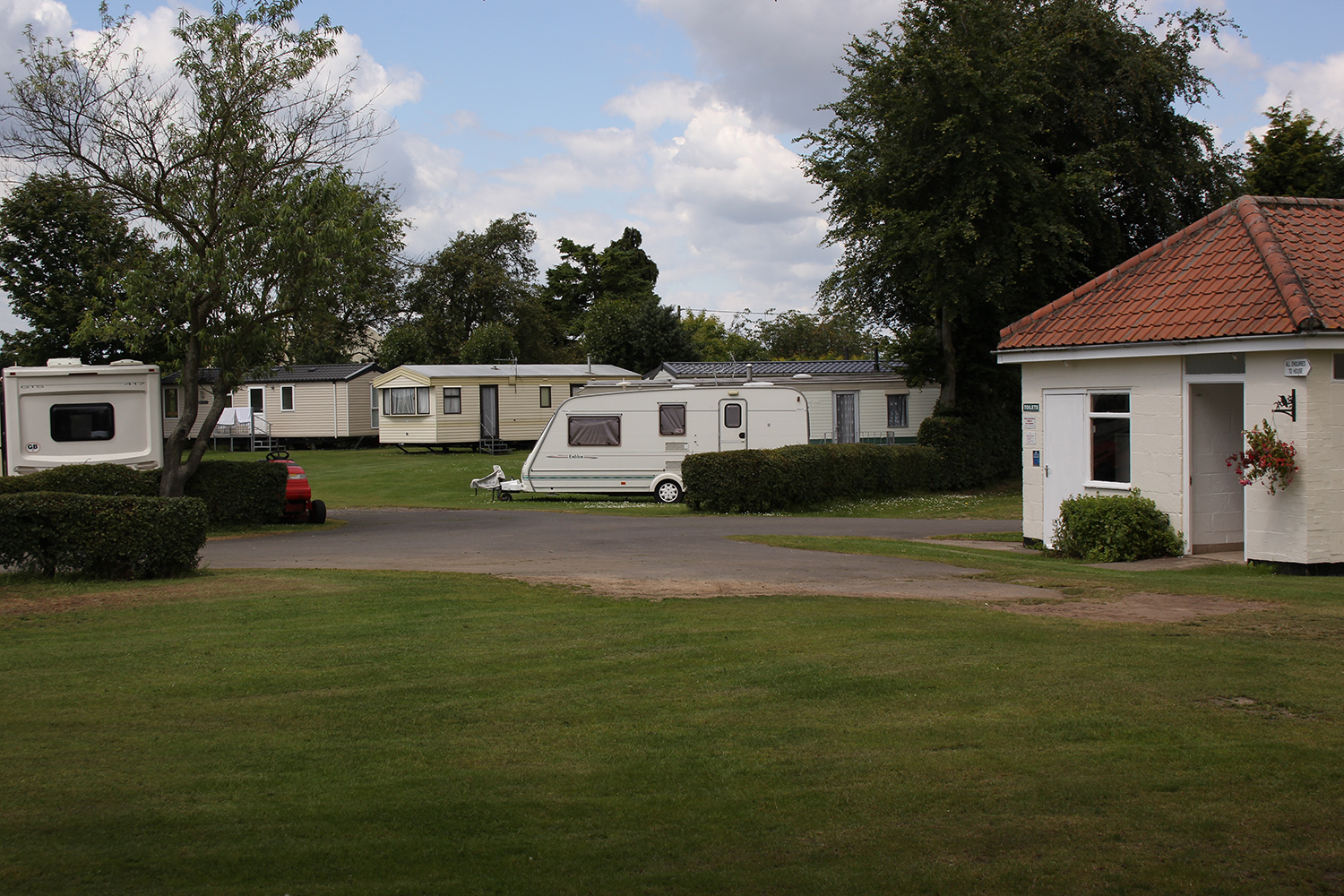
Car park by Tadcaster bus station
By car park
Read our tips to look after yourself and the environment when following this walk.
Discover more than 15,000 professionally rated places to stay, eat and visit from across the UK and Ireland.
Choose a place to stay safe in the knowledge that it has been expertly assessed by trained assessors.
Search by location or the type of place you're visiting to find your next ideal holiday experience.
Read our articles, city guides and recommended things to do for inspiration. We're here to help you explore the UK.