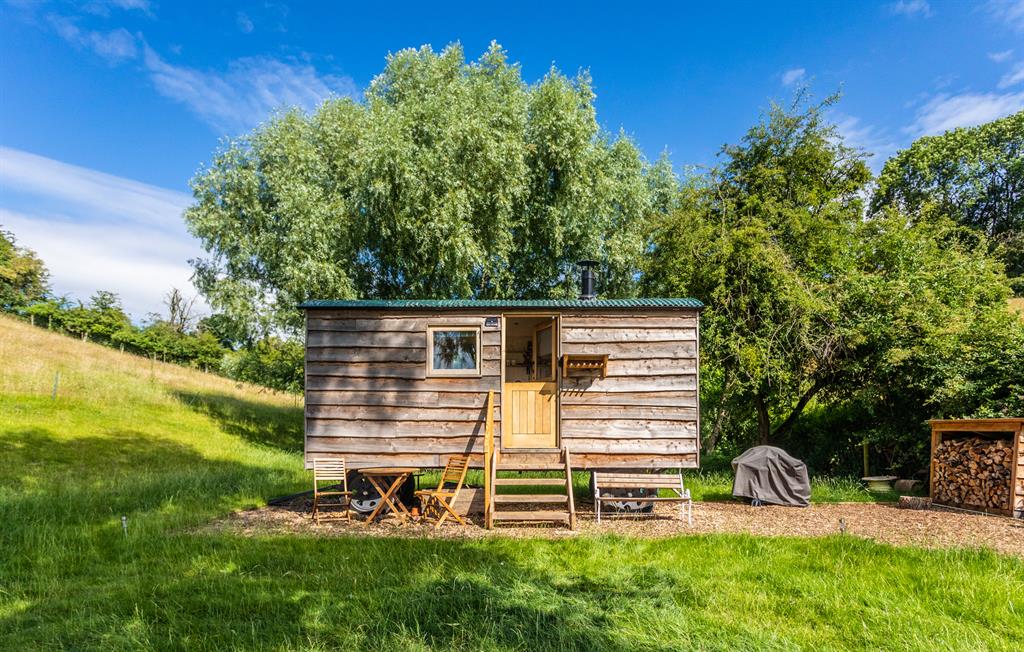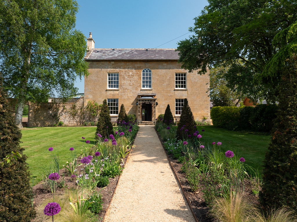

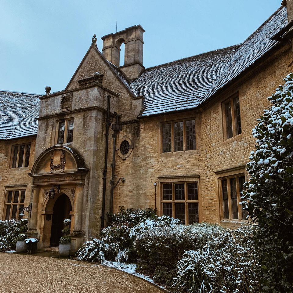
Manor Farm
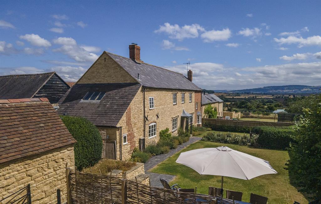
In a beautiful hamlet on the edge of Bredon Hill, Manor Farm is conveniently situated just 15…

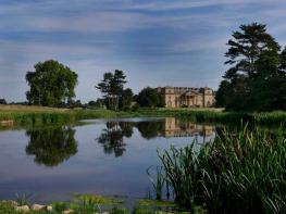
Bredon Hill
4.5 miles (7.3kms)
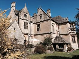
Elmley Castle is a particularly attractive village that sits at the foot of the northern slopes of Bredon Hill. It has many black and white half-timbered buildings and old brick cottages, clustered around a cricket pitch. A tiny, channelled stream flows along the main street. The name of the village of Elmley Castle dates from the 11th century, when Robert le Despenser built a castle on an eastern outlier of Bredon Hill, half a mile south of the village, shortly after the Norman Conquest. It was later part of the estate of the powerful Beauchamp family, whose name can still be found in Worcestershire and neighbouring South Warwickshire. The castle remained the Beauchamp’s chief seat until William de Beauchamp inherited the earldom and castle of Warwick from his maternal uncle. Thereafter it became a ‘second home’ until it was surrendered to the Crown in 1487. By the middle of the next century the castle was in ruins. Stones from the castle were used to build some of the houses in the village and the old Pershore Bridge, adjacent to the A44 road bridge. Today, while there is no building present, you can still see the fortified earthworks of the castle (on private land).
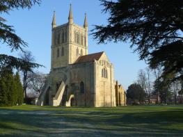
In 1234, with the increasing importance of the castle at Elmley, Walter Beauchamp received a gift of 10 does and 3 bucks from King Henry III for the Deer Park behind the church. Elmley still has its deer today, and you may see the herd while on the walkThe Church of St Mary the Virgin stands at the head of the village, just below the Deer Park. The chancel of the church was probably built before 1100, a supposition based in part on the ‘herringbone’ style of stonework in the chancel wall. Its font has a 15th-century octagonal bowl on a 13th-century square base, decorated with carved serpents and dragons. Of particular note in the church is a set of three 17th-century effigies of the Savage family, lying down, with four children kneeling before them. The Savage family lived in an Elizabethan stone mansion in Elmley Castle, which Christopher Savage built having been granted the land around the ruined castle and the Deer Park. Christopher Savage, who died in 1545, had been an Esquire of the Body of King Henry VIII. The mansion remained as the home of the Savage Family until 1822. In 1948, the mansion sadly made way for a housing estate.
The public house, The Queen Elizabeth, is named after Queen Elizabeth I who stayed in the village, with the Savages, for two days in 1575. The Queen was allegedly presented with a hat upon her arrival in the village on the road from the nearby town of Pershore. The place of the presentation, on the edge of the village, is still known as Bess Cap.
Facing the churchyard of St Mary the Virgin, with the Queen Elizabeth Inn on your right, go right, past the end of the pub. Pass several black-and-white houses, some of which are thatched. At a sharp left bend take a fingerpost to the right, passing beside a farm building. Turn sharp left at the end of this building, using gates to cross a concreted area; leave the farm through two more gates. Follow the right-hand field-edge. In the third field, after 40yds (37m), turn three-quarters right at a redundant stile, soon regaining your line. To the right is Bricklehampton Hall. Continue for three fields, crossing some quite rickety stiles and plank bridges over ditches. Reach a metal kissing gate to a track and turn left at Point 2 to walk uphill.
Once in woodland, briefly follow a level forestry road and fork left in 200yds (182m) to maintain line up through Cames Coomb. Cross the flat open meadow, Even Hill, to an obvious gate in stock fencing. Continue the climb along the well-trodden path, past Doctor’s Wood, through a gate. Beyond, veer left then right through a green hollow to a wooden gate into woodland. Don’t enter the wood but veer right then left to follow a stony track uphill beside woodland. In 110yds (100m), at a single post waymarker take the bridleway left to skirt the wood, not the route following the Wychavon Way.
Go through the gate and walk an easy 0.6 miles (1km) on a firm, fenced path, flanked by a steep wooded slope and open fields. Where the fence kinks there are gates on the right, and Wychavon Way indicators.
Go half left, into the woods, descending steadily on a wide bridle path. Leave this woodland for open meadow. Lower down, veer right, following single post waymarkers. Cross a wooden footbridge over a ditch. Continue descending through light woodland with bracken. At a fork in the path keep left to another footbridge. Here go left, alongside a wire fence, passing a long and narrow pond on your right-hand side. Within 100yds (91m) of this pond, reach a new metal gate.
Through this, turn left over a leaning stile and across a two-plank footbridge. Go three-quarters right in parkland with a large, dead tree in the middle. In the next, large field, veer left to find a stile between a garden hedge and small paddock. A wooded path crosses a decorative dammed pond to reach the churchyard and a return to the start.
Meadows and woodland paths
Farmland, woodland and panoramic views
Lots of opportunities for off-lead walks; on lead around livestock
OS Explorer 190 Malvern Hills & Bredon Hill
On-road in Elmley Castle or Elmley Castle Picnic Place 219yds (200m) from start
None on route
Read our tips to look after yourself and the environment when following this walk.
Worcestershire is a county of rolling hills, save for the flat Vale of Evesham in the east and the prominent spine of the Malverns in the west. Nearly all of the land is worked in some way; arable farming predominates – oilseed rape, cereals and potatoes – but there are concentrated areas of specific land uses, such as market gardening and plum growing.
Worcester is the county town, and home to Worcestershire County Cricket Club, which has what some regard as the most attractive grounds in the country, in a delightful setting with views of Worcester Cathedral. The Malverns, Great and Little, set on the slopes of the Malvern Hills, are renowned for their refinement. Great Malvern, terraced on its hillside site, came to prominence as a genteel spa for well-to-do Victorians, rivalling the likes of Bath, Buxton and Cheltenham with its glorious surroundings.
Sir Edward Elgar was a Worcester man, and his statue stands on the High Street, facing the cathedral. The cottage where he was born is now a museum and he is commemorated on the £20 note. Other notable Worcestershire figures include poet A E Housman, chocolate magnate George Cadbury; and Lea and Perrins, inventors of Worcestershire sauce.
Discover more than 15,000 professionally rated places to stay, eat and visit from across the UK and Ireland.
Choose a place to stay safe in the knowledge that it has been expertly assessed by trained assessors.
Search by location or the type of place you're visiting to find your next ideal holiday experience.
Read our articles, city guides and recommended things to do for inspiration. We're here to help you explore the UK.