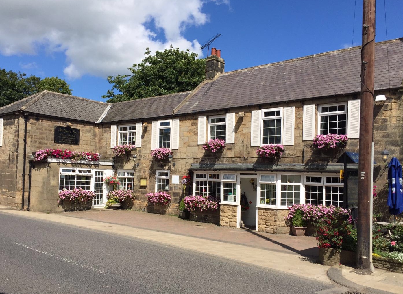

Drovers Rest
Just off the A68 between the beautiful Northumberland National Park and Kielderhead National…

Elsdon
5.5 miles (8.8kms)
For hundreds of years in the Middle Ages, Elsdon was at the centre of some of the most lawless land in England. It was the capital of the remote Middle March – one of three Marches or protective areas set up in 1249 to protect the border lands. Local historian G M Trevelyan wrote that Elsdon was ‘the capital of Redesdale when neither Scotland nor England existed'. The chief threat to the area was from the reivers or moss troopers – bands of marauders, mostly from north of the border, who carried out raids on local farms, burning the crops, destroying homesteads and, above all, stealing cattle, sheep and horses. Such was the seriousness of these raids that they influenced the design of the village. Its wide green, more than 7 acres (2.8ha) in area, was used to pen animals during a raid, and the entrances to the village were shut off.
Another important reminder of those anarchistic days is the Vicar’s Pele at Elsdon, just by the church. A square tower that could be easily defended, it was probably built in the 14th century, and rebuilt in the 16th and 18th. Its walls are up to 9ft (3m) thick. Lewis Carroll’s grandfather, later the Bishop of Ossory, lived in the tower from 1762 to 1765.
The remains of earlier defences are a highlight of the first part of the walk. What are known locally as the Mote Hills are the spectacular remains of a motte-and-bailey castle. Sitting above the steep banks of Elsdon Burn the castle has a lower area – the bailey – surrounded by a deep ditch and bank, while the tall hill behind – the motte – once supported a timber castle. Put up by the de Umfravilles in the 12th century, Elsdon Castle had a short life, for in around 1160 the family moved its headquarters to Harbottle and left Elsdon to slumber.
The walk takes you from the village to the tiny farming hamlet of Hudspeth (which shares its name with a county in Texas) and up across the slopes of Landshot Hill to Eastnook. The return follows a narrow, winding lane through Harwood Forest and on to Todholes, where Elizabethan county records reveal that in January 1582, Thomas Routledge of Todholes issued a complaint against Kinmont Armstrong of Canonbie, in Galloway, claiming he had stolen ‘40 kine, 20 sheep, and 1 horse, value 300 pounds sterling’ in a reivers raid.
The return to Elsdon, which offers good views of the village and the Mote Hills, is partially along a decayed medieval stone wall, once part of the outlying village defences. Look out, back on the Green, for the figure of Bacchus above the door of one of the cottages, which was originally an inn.
Leave the car park along a track past the village hall, climbing to a cottage where a gate on the left opens onto the Mote Hills. Pass through the cottage yard to a gate and cross a small paddock. Bear right up a large field to a tree at the top. Pass through the left one of two gates and continue ahead at the edge of pasture.
Emerging onto a metalled track, follow it left, eventually dropping to Hudspeth Farm. Walk into the yard and turn right in front of cottages to pass a barn on your right. Cross a stream to a gate onto the open hill.
Climb away beside a low bank, bearing left through it towards the top of a rise. Head out uphill to a gate in a crossing fence. Keep the same line across rough pasture to a stile at the top corner of a wall.
Carry on beside the wall, crossing a ladder stile at the crest. Bear left towards the corner of a conifer plantation, negotiating an intervening stile to continue over heath with the forest on your left. Beyond another stile, the way gently falls across rough grazing, running parallel with power cables to a further stile. Follow the posts downhill to meet a track.
Walk right, shortly winding into Harwood Forest. Continue down through the trees for a mile (1.6km), emerging across open grazing to a bridge and junction near Whiskershiel Farm.
Turn left, shortly crossing a cattle grid. Leave the track at a signpost just beyond, going left over a footbridge. A path leads on through a gate. Joining a wall, continue at the edge of a meadow. Over a stile, bear left across more meadow towards East Todholes Farm. Skirt it to the right, leaving over a ladder stile onto a track.
Go right, passing West Todholes Farm before climbing to meet a lane. Turn sharp right across the verge to a stile. Bear left downhill at the edge of meadow, continuing beside a second meadow to a stile at the bottom.
Bend right to cross a field bridge, then swing left beside the stream. Over a second bridge, turn right to a gate and follow a track out between houses to the village green. Turn right and cross a bridge back to the car park.
Field and moorland paths and quiet lanes, 12 stiles
Rolling farmland and forest
Dogs on leads
OS Explorer OL42 Kielder Water & Forest
Car park in Elsdon, by bridge on Rothbury road
None on route
Read our tips to look after yourself and the environment when following this walk.
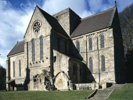
If it’s history you’re after, there’s heaps of it in Northumberland. On Hadrian’s Wall you can imagine scarlet-cloaked Roman legionaries keeping watch for painted Pictish warriors while cursing the English weather and dreaming of home. Desolate battlefield sites and hulking fortresses such as Alnwick, Dunstanburgh, Bamburgh and Warkworth are reminders that this, until not so very long ago, was a contested border region. The ruins of Lindisfarne bear witness to the region’s early Christian history.
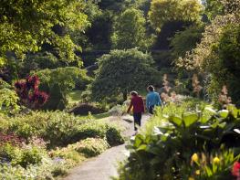
Northumberland also has some of Britain’s best beaches. On summer days, and even in winter, you’ll see surfers and other brave souls making the most of the coast. Inland, there are some great walks and bike rides in the dales of the Cheviot Hills and the Simonsides – just hilly enough to be interesting, without being brutally steep. There's dramatic scenery in the High Pennines, where waterfalls plunge into deep valleys, and there are swathes of heather-scented moorland. Northumberland National Park covers over 400 square miles of moorland and valleys with clear streams and pretty, stone-built villages. It’s just the place for wildlife watching too. You’ll find flocks of puffins, guillemots and other seabirds around the Farne Islands, and seals and dolphins offshore.
Discover more than 15,000 professionally rated places to stay, eat and visit from across the UK and Ireland.
Choose a place to stay safe in the knowledge that it has been expertly assessed by trained assessors.
Search by location or the type of place you're visiting to find your next ideal holiday experience.
Read our articles, city guides and recommended things to do for inspiration. We're here to help you explore the UK.