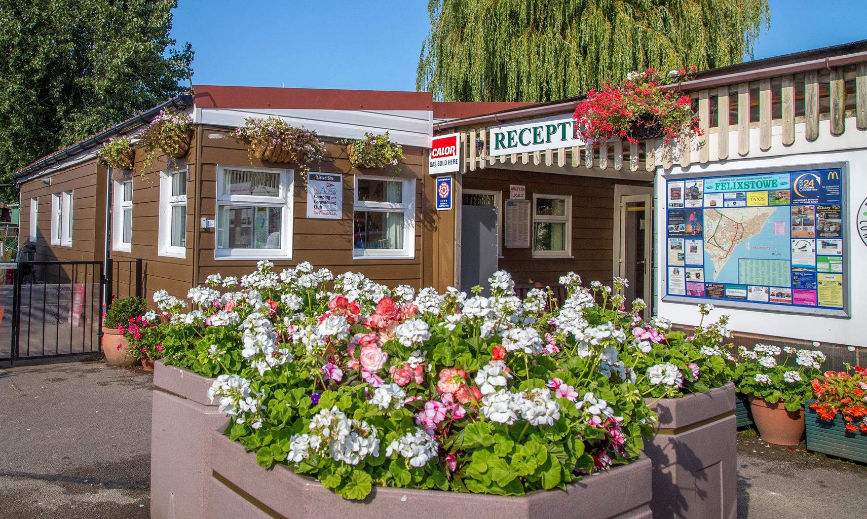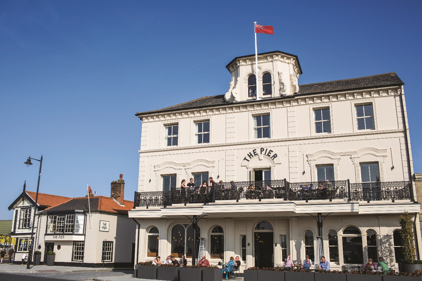


The Grafton Guest House
The Victorian, three-storey Grafton directly overlooks the promenade and sea, a real gift in a…

A stroll from the church at Falkenham along the River Deben and back via a drunkard’s lane.
Falkenham
5.25 miles (8.4kms)
The River Deben is not the longest of rivers – it’s less than 20 miles as the crow flies from its source at Debenham to its mouth at Felixstowe Ferry – and it may not be particularly well known outside the county, but it’s an impressive enough sight if you catch it at any point on its last 10 miles from Wilford Bridge to the sea. On a map it looks like a giant worm frantically making for the coast as if its life depends on it but the long curve of the river that this walk takes in sees it at its most laid back and languorous. Cutting through a landscape of saltmarsh, freshwater marsh, low hills and mud flats, the river is dotted with small pleasure craft whose owners take advantage of the sheltered nature of the Deben estuary. Waders and other water birds are also attracted to the river. In the summer look out for oystercatchers, egrets, curlews and various other wading birds on the mudflats. Geese and ducks can also be seen amongst the patches of reeds that colonise the mudflats here and there. Unusually, the river also has its own local interest group, the River Deben Association, which has been formed to try to ensure that the river can be enjoyed by everyone for years to come.
The walk begins with the saints – or at least one particular saint. Ethelbert was the Saxon king of the East Angles whose destiny was to be slain by Offa, the pagan king of Mercia, in 794. His burial place at Hereford was once a popular pilgrimage site but now he is best remembered in East Anglia where half of the 18 churches dedicated to him are located. Falkenham’s contribution to that total stands back from the main road, tucked behind Falkenham Hall, and is thus easy to miss but is well worth a look inside. Dating from the 14th century but much altered since, the church has a fine 15th-century octagonal font whose carvings were plastered over to save them from being destroyed by Puritans in the days of Oliver Cromwell. The old treble bell, which was cast in 1728 but eventually broke and had to be replaced, is on display just inside the front door. An information booklet in the church turns the spotlight on an intriguing detail of Falkenham life in the mid-19th century. The Religious Census of 1851 records the numbers in the congregation at the church services. ‘Additionally at both services there were 25 ‘scholars’; usually there were more but it was noted that, ‘Crow keeping takes away half the boys and some girls at this season from church.’
Perhaps unwisely, the route ends with the bibbers – or at least one particular fan of the grain and the grape. One local theory about the name of this long path – which singularly fails to weave around like a drunkard itself – is that it stems from the time, long ago, when Falkenham boasted a pub called the Falkenham Dog. Its patrons would have used the path to return to their homes across the fields and presumably one in particular (since the name refers to one drunkard rather than a crowd) had a reputation for imbibing a sherbet or two too many.
Following the signpost marked ‘Church’ walk through the churchyard to the right of St Ethelbert’s church, out through a gap onto a broad track and turn left. At the first junction turn right to enjoy views over fields to the masts of boats moored in the River Deben and All Saints church on the far side. At a ‘Private No Footpath’ sign the track turns left to pass between hedges and bends towards the river for 0.6 miles (1km) following waymarkers through fields and besides a long reed-fringed ditch.
Climbing onto an embankment at the end of the path by a three-fingered signpost turn left along Falkenham Creek. Ignore the path off to the left, staying on the embankment as it negotiates its way through the marshes to reach the river at last. The path bends left to follow the river upstream. The scores of masts you saw from afar now reveal themselves to have been attached to yachts moored right across the river. On the far bank, the attractive quayside Ramsholt Arms pub comes into view along with All Saints church with its sleek minimalist rounded tower and the contrasting hues of its nave roof. If you recognise it, it’s probably because you saw it in a recent BBC adaptation of Charles Dickens’ Great Expectations (which is set in Kent, of course). Below you to your left a sizeable creek now separates you from Kirton Marshes and open arable farmland. The path at last curves to the left at an inlet. It bends sharply to the right to go around the end of the inlet by a field.
At a T-junction shortly afterwards turn left to climb up a broad track between fields. At the end of the field turn right onto a wide gravel track. Just after passing a shed on the left turn left up a grassy track between high hedges. When it emerges onto a field continue in the same general direction aiming for the left-hand end of a belt of trees – mainly conifers – about 100yds (91m) away. Pass these following the track as it briefly skirts the right-hand side of an enormous field before rising sharply through the gap in the hedge. Turn right along an indistinct footpath with a small wood to your right that includes a good many sweet chestnut trees.
When you come to a clearing in the wood to your right leading to a gate, turn sharp left across the field. At the far side, go through the large gap in the hedge and turn right along a gravel track. After 100yds (91m) turn right along a track to pass Corporation Farm Cottages. The track becomes concrete and passes several large barns on the left. Immediately after the last of these turn left. Continue along this concrete track which goes by the peculiar name of Drunkard’s Lane. If you’re sober enough, look left here to take in views of what is, for Suffolk, unusually rolling countryside. Where the concrete track turns sharp right to enter a sewage works, continue straight ahead along a grassy track that rises up the left-hand side of a field with the village of Falkenham on the far side. The track narrows to a footpath before reaching the road where you should turn left to return to the start, admiring any horses you might see in a paddock to your right.
Footpaths, river embankment, farm tracks
Marshes, river, farmland
Some sections on lead
OS Explorer 197 Ipswich, Felixstowe & Harwich
On street outside St Ethelbert’s church in Falkenham
None on route
Read our tips to look after yourself and the environment when following this walk.
Suffolk is Constable country, where the county’s crumbling, time-ravaged coastline spreads itself under wide skies to convey a wonderful sense of remoteness and solitude. Highly evocative and atmospheric, this is where rivers wind lazily to the sea and notorious 18th-century smugglers hid from the excise men. John Constable immortalised these expansive flatlands in his paintings in the 18th century, and his artwork raises the region’s profile to this day.
Walking is one of Suffolk’s most popular recreational activities. It may be flat but the county has much to discover on foot – not least the isolated Heritage Coast, which can be accessed via the Suffolk Coast Path. Southwold, with its distinctive, white-walled lighthouse standing sentinel above the town and its colourful beach huts and attractive pier features on many a promotional brochure. Much of Suffolk’s coastal heathland is protected as a designated Area of Outstanding Natural Beauty and shelters several rare creatures including the adder, the heath butterfly and the nightjar. In addition to walking, there is a good choice of cycling routes but for something less demanding, visit some of Suffolk’s charming old towns, with streets of handsome, period buildings and picturesque, timber-framed houses.
Discover more than 15,000 professionally rated places to stay, eat and visit from across the UK and Ireland.
Choose a place to stay safe in the knowledge that it has been expertly assessed by trained assessors.
Search by location or the type of place you're visiting to find your next ideal holiday experience.
Read our articles, city guides and recommended things to do for inspiration. We're here to help you explore the UK.