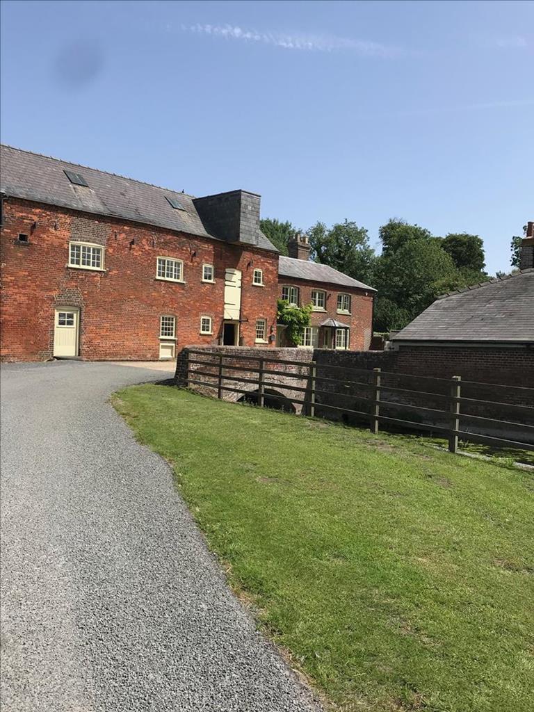

Aubrey Park Hotel
The hotel is conveniently located a short drive from the historic Roman city of St Albans, close…

Great Gaddesden
6 miles (9.7kms)
The sparkling upper waters of the River Gade wind through damp, green water-meadows, the valley rising on both sides to the chalk plateau. Human impact on the landscape here is very ancient. On the plateau is a pattern of long, narrow, rectangular fields. It seems to be the remains of the Roman grid field system known as 'centuriation' (division into hundreds). It was laid out to the north and northwest of the Roman town of Verulamium (St Albans, possibly in the late 1st century AD).
A close look at the Ordnance Survey map shows the pattern very strongly in the area between Jockey Row and Golden Parsonage, the route of our walk. It is particularly clear here because the fields remain pastoral. In Redbourn, Flamstead, Bedmond and elsewhere it is less obvious because many hedges have been grubbed out to make more profitable arable fields. There are three explanations in circulation for the field system. One theory is that 'centuriation' took place after Boudicca, the fiery Queen of the Iceni, sacked Verulamium in ad 60; a second is that the highly Romanised aristocracy of the local Catuvellauni tribe reorganised their estates in the Roman way; and a third sees the field system as merely refining pre-Roman, Belgic or Catuvellauni colonisation. Whatever the case, the field boundaries are either at right angles to, or parallel to, the Roman road system. This is particularly clear with Watling Street and the road that runs southwest from St Albans, along the southern edge of the Chilterns. Gaddesden Row looks like any other country lane but the map shows it aligned parallel to Watling Street and a key element in the Roman field pattern. It is awe-inspiring to think that these fields had their boundaries established nearly 2,000 years ago.
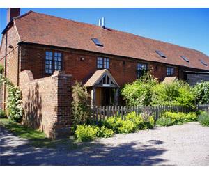
Parks were laid out on top of this ancient landscape and you pass three of them on this walk – Gaddesden Place, The Hoo and Golden Parsonage. The 'golden' in Golden Parsonage is a corruption of 'Gaddesden'. This park has several surviving late 17th-century sweet chestnuts. A tree ring count of a fallen tree showed its avenue of limes to be over three centuries old. The house was built in 1705 for John Halsey. Earlier buildings were demolished when the Halseys moved to their new mansion, Gaddesden Place. James Wyatt designed Gaddesden Place in 1768, but it was extensively rebuilt after a disastrous fire in 1905. 'Capability' Brown's The Hoo parkland also partially survives but its house was also extensively rebuilt (around 1904).
From The Green go past the bus stop and turn left at a footpath sign over a a footbridge and stile into paddocks and cross another stile. Walk alongside the hedge. Go through a kissing gate and continue beside the hedge, and where it ends cross to a hedge. Turn left, then pass through oak and thorn scrub to a road.
Cross the road on to the Bunkers House drive, bearing left at its gates. Walk alongside the garden hedge, then cross a cultivated field. Go through the hedge and turn left.
Go through a kissing gate by a large oak, then head diagonally to the right of The Hoo, a house in the remnants of 18th-century parkland. Follow the fence towards the woods and go through a kissing gate and walk alongside them. At the end of a field go right to a kissing gate, then ahead through the woods. Leave the woods and go over another stile, then descend across some arable land to a hedge, following the field-edge as it curves right to a road by some houses.
Via a kissing gate cross into some water-meadows. Walk across the long footbridge over the River Gade, then bear left towards the parish church. Go through a kissing gate and beyond the Victorian, brick and flint school, turn right to enter the churchyard.
From the southwest corner of the churchyard, cross a stile and some pasture via two kissing gates and over a stile to a road. Turn right, then go left at a footpath sign by some cottages. In the field, head to a kissing gate, go through it and follow the hedge uphill and continue alongside it as it bears right at the crest. At a footpath T-junction turn left to head for some woods. Once in them walk ahead for a few paces, then turn left, the path descending to the valley. At a kissing gate bear right to a footbridge and then go, via a kissing gate, between buildings to re-cross a road.
Go through two gates, one marked 'The Park', beside some cottages, and continue uphill, across cultivated land towards the porticoed Gaddesden Place. Enter parkland, pass through two gates, and head uphill, to the left of an oak and then to a waymarker post to the left of the mansion.
Once past Gaddesden Place and through a hand gate by a field gate, head to a drinking trough. Bear right to a gate, avoiding the Chiltern Way running left. Cross several fields via hand gates. Turn left on to a metalled track towards Home Farm. At the wood edge go right at a footpath sign to walk beside the wood.
The path then enters Golden Parsonage's ancient lime avenue. Leave this at the valley bottom by turning left on to a track. At a track junction go right and immediately diagonally left towards a kissing gate, passing ancient sweet chestnuts, to another kissing gate.
Once through this, continue through a sequence of paddocks , hand gates and kissing gates, passing The Lane House, crossing a road and continuing northwest, passing a copse. Beyond the copse you reach a road. Turn right here, back to Jockey End.
Field paths and bridleways
Water-meadows and plateau above
Keep on lead near cattle, sheep, horses and ponies
OS Explorer 182 St Albans & Hatfield
The Green, Jockey End
None on route
Read our tips to look after yourself and the environment when following this walk.
As Hertfordshire is so close to London, many of its towns have become commuter havens. St Albans, less than 19 miles (30km) from the capital, has retained its distinctive character, along with many historic remains. The Roman city of Verulamium is situated in a nearby park, and excavations have revealed an amphitheatre, a temple, parts of the city walls and some house foundations. There are also some amazing mosaic pavements.
The abbey church at St Albans is thought to have been built on the same site where St Alban met his martyrdom in the 3rd century. The abbey was founded in 793 by King Offa of Mercia, and contains the saint’s shrine, made of Purbeck marble. Lost for years, it was discovered in the 19th century, in pieces, and restored by the designer of the red telephone box, Sir Giles Gilbert Scott. The abbey also contains some wonderful medieval wall paintings. Nicholas Breakspear was born in St Albans, the son of an abbey tenant. In 1154 he took the name Adrian IV, and became the first, and so far only, English pope. Another famous son of Hertfordshire was Sir Francis Bacon, Elizabethan scholar and Lord High Chancellor, born in Hemel Hempstead in 1561.
Discover more than 15,000 professionally rated places to stay, eat and visit from across the UK and Ireland.
Choose a place to stay safe in the knowledge that it has been expertly assessed by trained assessors.
Search by location or the type of place you're visiting to find your next ideal holiday experience.
Read our articles, city guides and recommended things to do for inspiration. We're here to help you explore the UK.