


The Barnstaple Hotel
This well-established hotel enjoys a convenient location on the edge of town. Bedrooms are…

Industrial history, a former railway line, diverse wildlife – there is masses to discover on this Taw estuary walk.
Fremington
2.5 miles (4kms)
Scratch the surface at Fremington Quay and you’ll discover all sorts of fascinating facts about this now tranquil spot. For centuries tidal Fremington Pill – navigable as far as Muddiebridge Bridge, near the B3233 – was used by small vessels serving local needs. All that changed in the 19th century. By the late 1830s, silting of the river prevented large cargo vessels from reaching Barnstaple, and so a deep-water quay was built at Fremington, with a horse-drawn line to Barnstaple (this later became part of the North Devon Railway).
The coming of the railway boosted the fortunes of the quay considerably. Fremington Quay became the busiest quay between Bristol and Land’s End, exporting ball clay from Merton and Peters Marland, south of Fremington, and importing lime and coal from South Wales. The last cargo vessel to visit the quay was in 1969; the station had closed in 1968, and clay traffic finally ended in 1982. Today the old line has become part of the Tarka Trail, a 180-mile (290km) off-road cycle and walking route.
This part of the Taw estuary is characterised by large expanses of saltmarsh, an important wildlife habitat. Conservation work is carried out to preserve the saltmarsh by re-edging ditches to create a network of shallow channels and ‘scrapes’ (shallow depressions), which harbour hundreds of thousands of young fish and crabs – vital feeding grounds for birds. Oystercatchers and golden plovers feed on the mudbanks and mussel beds, and the whole area is an internationally important wintering ground for migrant birds. The RSPB Isley Marsh reserve lies on the estuary at Yelland, just to the west of Fremington Quay.
Leave the car park via the approach road. On meeting the fenced picnic area (no dogs allowed), turn right along a concrete path that leads along the edge of the deepwater quay. Look left to see the old signal box and station (now housing the Heritage Centre and the Fremington Quay Café) and remains of the platform. In the distance you’ll see lofty Saunton Down. At the mouth of the Pill the path meets the Tarka Trail. Turn briefly right here, then left at the bridge to meet the lane.
Turn right and follow the lane along Fremington Pill (note the ‘walkers warning’ sign and 15mph limit). This is a lovely stretch when the tide is in – look out for little egrets, which are commonly seen here. As the head of the Pill comes into view, look for a footpath signed left.
Turn left over a stile. Follow the right edge of two fields, then along a short hedged, grassy path (at times wet) to meet a lane.
Turn right here. Where the lane bears sharp right by Penhill Cottage, turn left on a bridleway along a hedged track, which soon bears right. Follow it to a white house named The Clampitts.
Turn left on a footpath and go through a gate. The broad green lane descends gently, with expansive views over the River Taw. Kink left and right and descend to a tunnel under the old railway line. Cross a rough boardwalk over water, then cross a stile and mount steps onto the Tarka Trail.
Turn left. The large expanse of saltmarsh towards the river is managed as a valuable wildlife habitat. The track passes through a cutting – look out for meadow brown butterflies and blue field scabious – and under a huge railway bridge. At the end of the cutting, and where views over the estuary appear right, turn right on a small path to regain the car park.
Lanes, field-edges, green lanes (some muddy after wet weather), surfaced cycle track
River estuary and creek
Lead required through farmland and on lanes
OS Explorer 139 Bideford, Ilfracombe & Barnstaple
Fremington Quay car park (free)
At Heritage Centre
Read our tips to look after yourself and the environment when following this walk.
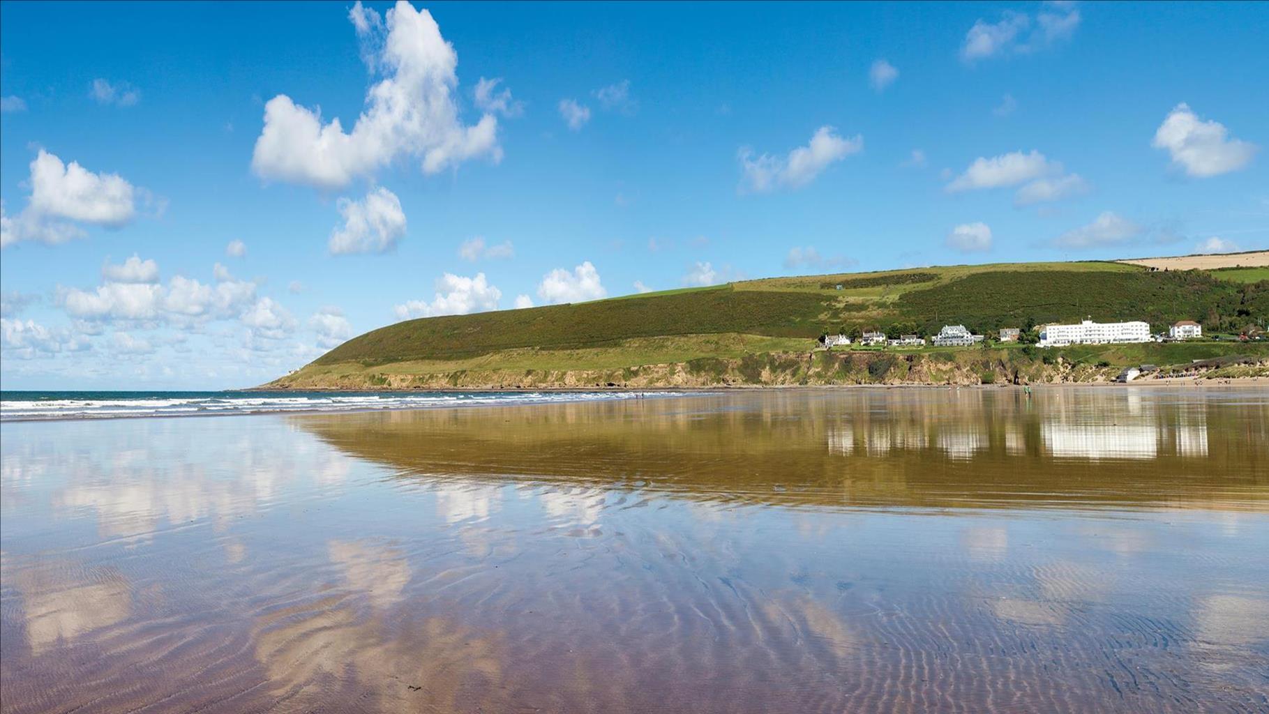
With magnificent coastlines, two historic cities and the world-famous Dartmoor National Park, Devon sums up all that is best about the British landscape. For centuries it has been a fashionable and much loved holiday destination – especially south Devon’s glorious English Riviera.
Close to the English Riviera lies Dartmoor, one of the south-west’s most spectacular landscapes. The National Park, which contains Dartmoor, covers 365 square miles and includes many fascinating geological features – isolated granite tors and two summits exceeding 2,000 feet among them.
Not surprisingly, in Dartmoor the walking opportunities are enormous. Cycling in the two National Parks is also extremely popular and there is a good choice of off-road routes taking you to the heart of Dartmoor and Exmoor. Devon’s towns and cities offer stimulating alternatives to the rigours of the countryside.
Discover more than 15,000 professionally rated places to stay, eat and visit from across the UK and Ireland.
Choose a place to stay safe in the knowledge that it has been expertly assessed by trained assessors.
Search by location or the type of place you're visiting to find your next ideal holiday experience.
Read our articles, city guides and recommended things to do for inspiration. We're here to help you explore the UK.