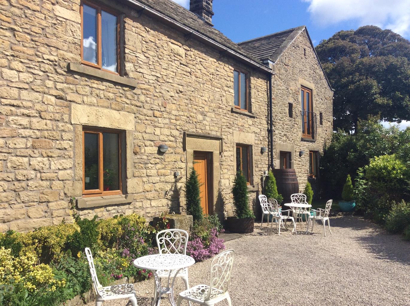
Bretton Cottage
Bretton Cottage is situated on a ridge 1,250 feet above sea level with panoramic views in all…

Froggatt Edge
8.75 miles (14.1kms)
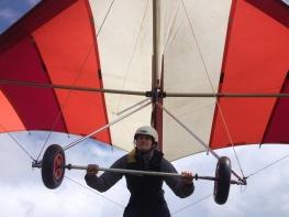
Gritstone is soluble rock, and so quickly loses its edges, leaving few natural handholds for climbers. W. P. Hasket Smith, the ‘inventor’ of rock climbing, said in his book, Climbing in the British Isles (1894), ‘Millstone grit assumes strange grotesque forms, and when it does offer a climb, ends it off abruptly’. He conceded that it did have pleasing problems. But in the 1950s working-class, urban pioneers such as Joe Brown, armed with makeshift gear like their mothers’ clothes lines, found new ways to tackle the rocks. Joe, and fellow plumber Don Whillans, introduced the use of ‘nuts’ for protection, and the ‘handjam’, where the climber puts his outstretched hand into a narrow cleft in the rocks, then clenches it into a fist. This jams the hand in, allowing the whole weight of the body to be supported. And with these developments climbing came to Derbyshire on a much larger scale. Froggatt and Curbar edges, like those of Stanage to the north, are high on the priority list for most northern climbers, and for much of today’s walk you’ll see them, clinging precariously to the rock face or standing at the foot of the crag with their modern ironmongery and coloured ropes. Even when they’re not scaling the edges it’s not uncommon to see them practising their moves on the boulders that litter the edge of the moors, such as the huge Eagle Stone at the southern end of Baslow Edge.
The walk crosses an expansive area of moorland covered with heather and ling, part of the Eastern Moors estate managed by the National Trust and Royal Society for the Protection of Birds. Although there’s plenty of public access it’s also important for its wildlife value, including rare birds like golden plovers and hen harriers. It’s a high and surprisingly remote part of Derbyshire, especially given that the centre of Sheffield is only 10 miles (16.1km) away. Across to the west the hill slopes fall away to the birch- and rowan-fringed rocks of Froggatt Edge, with the River Derwent far below. South across birch woods you’ll see the cliffs of Gardom’s Edge and, in the valley, the park-like grounds of Chatsworth. At the northern end of the walk stands White Edge Lodge, an isolated and eye-catching building surrounded by open moorland that was formerly a gamekeeper’s cottage on the Longshaw estate. It was used in the 2011 film version of Jane Eyre when it was called Moor House.
From the back of the car park in Hay Wood, turn right (north) along the wooded path towards the Longshaw Estate. After 150yds (137m) go right through a small gate in the wall to follow a faint path diagonally left across fields to The Grouse Inn, which is always in view.
Turn left and follow the roadside verge uphill for 400yds (366m) before crossing over to take the second bridleway on the right. Follow this clear route across White Edge Moor to gradually climb up to reach White Edge Lodge. Continue beyond the building along a track to the road junction on Totley Moss.
Don’t go through the main gate to the road but instead go right through a kissing gate. Now follow a fence-side path heading south, back across the moors. After passing copses of pine, ignore a cross-path and head out on the obvious route along the top of White Edge, with White Edge Lodge and Longshaw below on your right.
Beyond the trig point on White Edge the path passes above some enclosed rough pastures, then continues as a narrow path descending on the western slopes of the now grassy moor. Continue ahead at a path junction, signposted ‘Birchen Edge’. The path finally reaches a country lane, visible for some time, northwest of its junction with the A621.
Cross the lane to a gate on the other side. Through the gate a wide, flat track heads directly west, back out to the edges once more. Go past Wellington’s Monument and at the path junction at the southern end of Baslow Edge turn right. Head past the Eagle Stone for the wide and well-walked track to Curbar Gap.
Cross the road and resume the route on the far side, climbing up to go through a white gate. The wide track continues along the top of Curbar Edge, and you can go as close to the edge as you wish. It then drops down to Froggatt Edge. Look out for the small Bronze Age stone circle on your right. Follow this main track all the way down to the road.
Go through the kissing gate and turn right for the short roadside path. Where this ends cross carefully for a path opposite. Go down steps and on to cross a stream, then climb back up the other side to reach the car park at Hay Wood.
Good paths and tracks
Heather moor and gritstone cliff
Dogs on lead
AA Walker's Map 1 Central Peak District
Hay Wood National Trust pay car park
None on route, nearest at Longshaw Visitor Centre
Read our tips to look after yourself and the environment when following this walk.
The natural features of this central English county range from the modest heights of the Peak District National Park, where Kinder Scout stands at 2,088 ft (636 m), to the depths of its remarkable underground caverns, floodlit to reveal exquisite Blue John stone. Walkers and cyclists will enjoy the High Peak Trail which extends from the Derwent Valley to the limestone plateau near Buxton, and for many, the spectacular scenery is what draws them to the area.
The county is well endowed with stately homes – most notably Chatsworth, the palatial home of the Duke and Duchess of Devonshire, with its outstanding collections of paintings, statuary and art. Other gems include the well preserved medieval Haddon Hall, the Elizabethan Hardwick Hall, and Kedleston Hall, whose entrance front has been described as the grandest Palladian façade in Britain.
The spa town of Matlock is the county’s administrative centre and other major towns of interest include Derby and the old coal mining town of Chesterfield, with its crooked spire. Around the villages of Derbyshire, look out for the ancient tradition of well dressing, the decorating of springs and wells – the precious sources of life-sustaining water – with pictures formed from flowers.
Discover more than 15,000 professionally rated places to stay, eat and visit from across the UK and Ireland.
Choose a place to stay safe in the knowledge that it has been expertly assessed by trained assessors.
Search by location or the type of place you're visiting to find your next ideal holiday experience.
Read our articles, city guides and recommended things to do for inspiration. We're here to help you explore the UK.