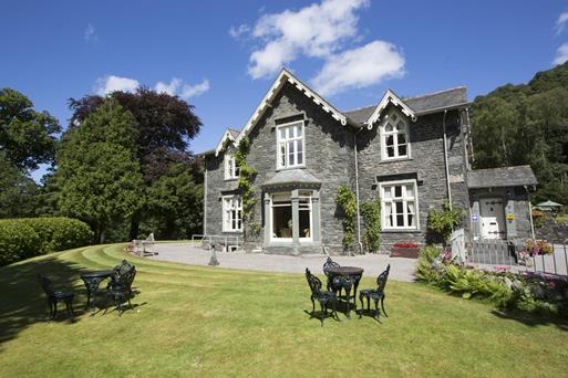
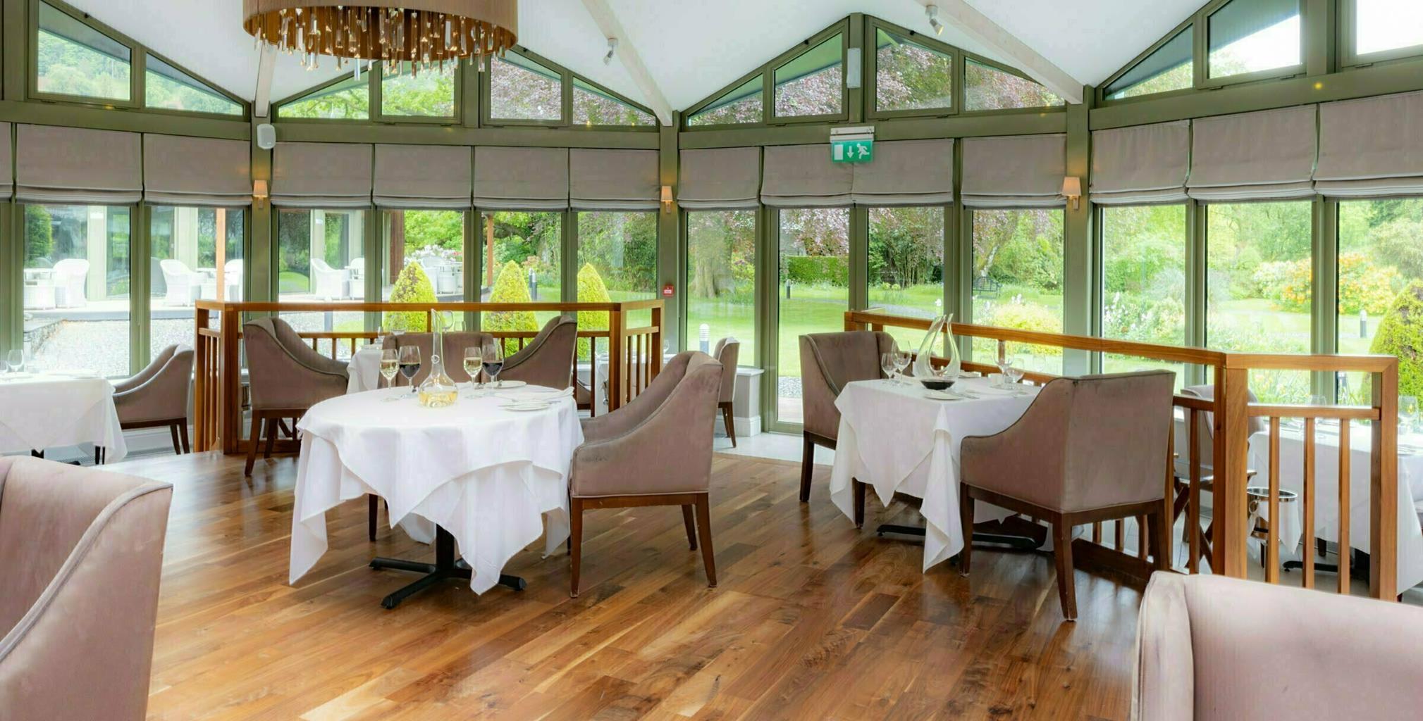

Church House
Church House is a beautifully renovated Lakeland farmhouse in a stunning location by the church…

Discovering peaceful hills that were once a Norman hunting preserve.
Eskdale
6.75 miles (10.9kms)
Although William the Conqueror arrived in England in 1066, much of the North remained controlled by the Scots, and it was not until William II took Carlisle in 1092 that Norman influence spread through Lakeland. Some settlement was encouraged and land granted to found monastic houses, but much of the mountainous area remained undeveloped. The main reason for this lay in the Normans’ almost fanatical devotion to the hunt, an activity exclusively reserved for the king and a few favoured subjects. Vast tracts of this northern ‘wasteland’ were ‘afforested’ – not in today’s sense with the planting of trees, but rather set aside as wild game reserves and subject to special regulation, the Forest Law.
The area around Eskdale lay within the barony of Copeland, a name which derives from the Old Norse kaupaland meaning ‘bought land’, and was granted to William de Briquessart in the early 12th century. His forest, together with the neighbouring Derwentfells Forest, extended all the way from the Esk to the Derwent and remained under Forest Law for more than a century. The forest was not devoid of settlement, but the few peasants who lived within its bounds were subject to many draconian laws that affected almost every aspect of their meagre existence. The clearance of additional land for grazing or cultivation, known as ‘assarting’, was forbidden and it was illegal to allow cattle or sheep to stray into the forest. Felling a tree for timber to repair a cottage or fencing required special permission, and even the collection of wood for fuel was strictly controlled. The estate was policed by foresters, who brought malefactors before the forest courts for judgement. The penalties were often severe, ranging from fines for minor infringements to flogging, mutilation or even death for poaching. Often near to starvation themselves, the commoners were required to assist as beaters, butchers and carriers for the hunts, and watch their overlords kill perhaps 100 deer in a single day. Yet if game animals broke through the fences around their allotments and destroyed the paltry crop, they were powerless to do anything more drastic than chase them away.
The hunting preserve gradually diminished during the 13th century, as larger areas were turned over to sheep farming. Constant nibbling has prevented the regeneration of natural woodland, leaving the open landscape now so characteristic of the area.
From the car park turn right down the valley road. At Beckfoot railway halt cross the line to a gate. A clear path starts by a wall then zig-zags up the hillside. Approaching Blea Tarn, go left, crossing a stream.
A few paces past a low tumbledown wall, fork right on a narrower path. This skirts right of Blind and Siney tarns. Keep left at a fork and pass a lone tree. Go left again before the slope drops away ahead. Pick the driest route across marshy ground, aiming for a wall around a conifer plantation.
Keep the wall on your right and reach a stile over a fence. Continue along the wall for another 0.75 miles (1.2km). As another wall converges, bear right to a gate in the corner and follow a short walled track to a junction. Another right turn takes you into Miterdale.
Turn right on a tarmac lane at the bottom of the track. Follow this and its stony continuation to a bridge over the River Mite, after which bear right and continue up the valley to Low Place Farm.
Walk past the farmhouse then take a gate on the right, signed ‘Wasdale’. Walk upstream then cross a slightly hidden bridge to a track that continues along the opposite bank. Keep ahead for just under 0.75 miles (1.2km) before climbing more steeply to a gate at the far end of a cleared plantation. Immediately after, turn right and climb steeply beside the wall to a gate and stile at the top.
Bear left, cross a beck (Black Gill) and fork right, climbing gently over the moor. Pass a prominent boulder and follow the path bearing right across a slight dip to a couple of low stone circles.
Bear right at the second circle, and keep right past a wider circle and under a rocky outcrop. Go over a small rise then fork left on a vague path past a large cairn. A group of stone huts comes into view. Below these a clear track descends rightwards.
Follow the track down Boot Bank and into Boot. Cross Whillan Beck by Eskdale Mill to continue through the village. At the end turn right to Dalegarth Station and the start of your walk.
Good paths in valleys, but often indistinct on hills
Heath and moor, with views across surrounding valleys
On lead as sheep roam moors
OS Explorer OL6 The English Lakes (SW)
Car park beside Dalegarth Station (pay-and-display)
At Dalegarth Station
Walk not advised in poor visibility
Read our tips to look after yourself and the environment when following this walk.
Cumbria's rugged yet beautiful landscape is best known for the Lake District National Park that sits within its boundaries. It’s famous for Lake Windermere, England’s largest lake, and Derwent Water, ‘Queen of the English Lakes'. This beautiful countryside once inspired William Wordsworth and his home, Dove Cottage, in Grasmere is a popular museum. Another place of literary pilgrimage is Hill Top, home of Beatrix Potter, located near Windermere. Tom Kitten, Samuel Whiskers and Jemima Puddleduck were all created here.
Much of Cumbria is often overlooked in favour of the Lake Distirct. In the south, the Lune Valley remains as lovely as it was when Turner painted it. The coast is also a secret gem. With its wide cobbled streets, spacious green and views of the Solway Firth, Silloth is a fine Victorian seaside resort. Other towns along this coastline include Whitehaven, Workington and Maryport. Carlisle is well worth a look – once a Roman camp, its red-brick cathedral dates back to the early 12th century and its 11th-century castle was built by William Rufus.
Discover more than 15,000 professionally rated places to stay, eat and visit from across the UK and Ireland.
Choose a place to stay safe in the knowledge that it has been expertly assessed by trained assessors.
Search by location or the type of place you're visiting to find your next ideal holiday experience.
Read our articles, city guides and recommended things to do for inspiration. We're here to help you explore the UK.