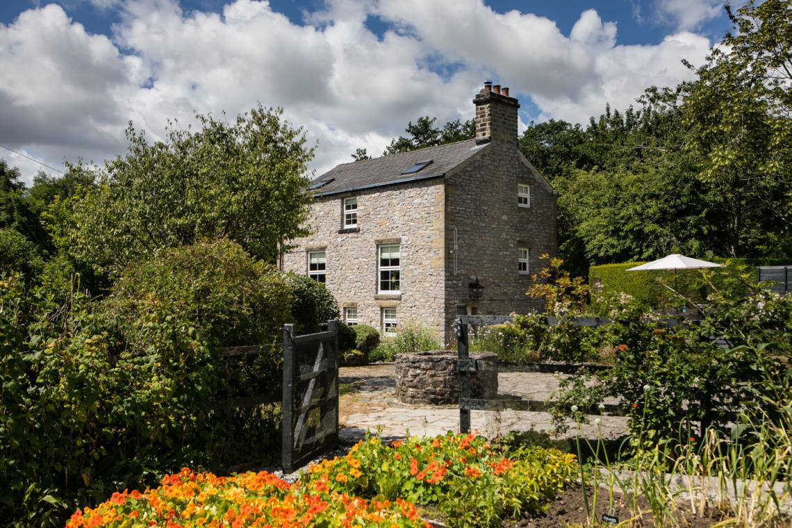
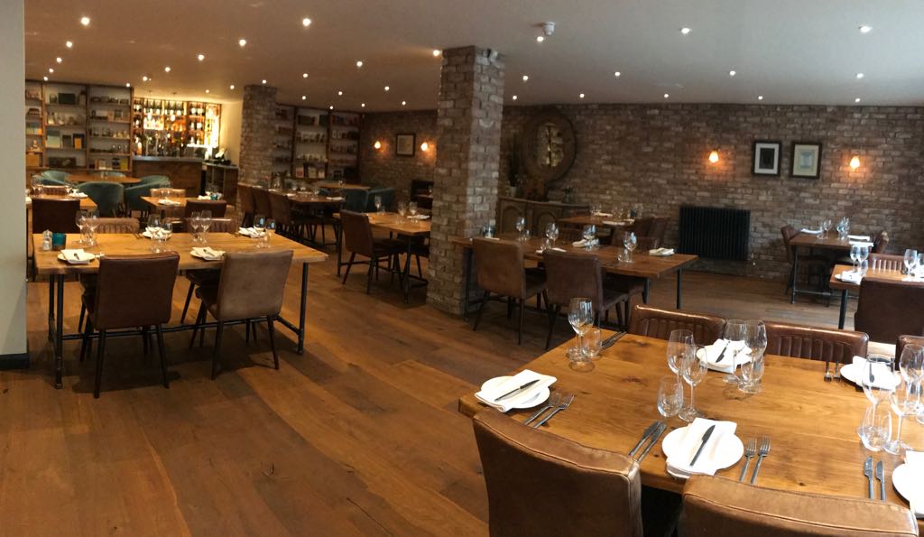

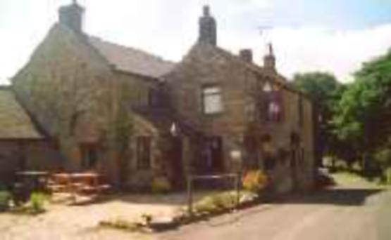

Lowes Mill Cottages at Torr Vale Mill
The four historic cottages are converted outbuildings of the Grade II* listed Torr Vale Mill,…

Hayfield
8 miles (12.9kms)
If you want to climb one of the quieter ways to Kinder Scout, Hayfield to the west is one of the best places to start. It’s also a route with a bit of history to it. From the beginning of the 20th century there had been conflict between ramblers and the owners of Kinder’s moorland plateau. By 1932 ramblers from the industrial conurbations of Sheffield and Manchester, disgusted by lack of government action to open up the moors to walkers, decided to hold a mass trespass on Kinder Scout. Benny Rothman, a Manchester rambler and a staunch communist, would lead the trespass on Sunday 24 April. The police expected to intercept Benny at Hayfield railway station, but he outwitted them by arriving on his bicycle, not in the village itself, but at Bowden Bridge Quarry to the east. Here he was greeted by hundreds of cheering fellow ramblers. With the police in hot pursuit, the group made their way towards Kinder Scout. Although they were threatened and barracked by a large gathering of armed gamekeepers, the ramblers still managed to get far enough to join their fellow trespassers from Sheffield, who had come up from the Snake Inn. Predictably, fighting broke out and Benny Rothman was one of five arrested. He was given a four-month jail sentence for unlawful assembly and breach of the peace. The ramblers’ cause inspired folk singer Ewan MacColl (famous for ‘Dirty Old Town’ and ‘The First Time Ever I Saw Your Face’) to write ‘The Manchester Rambler’, which became something of an anthem for the proliferating walkers’ clubs and societies. However, it took until 1951, when the recently formed National Park negotiated access agreements with the landowners, for the situation to improve. Just like the mass trespass, this walk starts at Bowden Bridge, where you will see a commemorative plaque on the rock face above the car park.
dark, shadow-filled cleft in the rocks captures your attention. It’s the Kinder Downfall, where the infant Kinder tumbles off the plateau. Now you climb to the edge for the most spectacular part of the walk – the part that would have been a trespass all those years ago – and continue along a promenade of dusky gritstone rock. Round the next corner you come to that dark cleft seen earlier. In the dry summer months the fall is a mere trickle, just enough to wet the rocks, but after the winter rains it can turn into a 100ft (30m) torrent. The prevailing west wind often catches the deluge, funnelling it back up to the top rocks like plumes of white smoke. In contrast, the way down is gentle, leaving the edge at Red Brook and descending the pastures of Tunstead Clough Farm. A quiet leafy lane takes you back into the Kinder Valley.
Turn left out of the car park and walk up the lane, which winds beneath trees by the River Kinder. After half a mile (800m), cross a bridge and leave the lane along a signposted footpath. It traces the river’s east bank before swinging left to rejoin the road at the entrance to a water treatment works.
Turn right and go through a pedestrian gate on to a cobbled bridleway that climbs above the buildings. Through a gap, keep ahead above the dam, the path shortly descending to continue beside the reservoir’s north shore. Beyond a gate, ignore a footbridge; instead, carry on ahead along a path rising into William Clough, where it is joined by the Snake Path from the left.
The path crosses and recrosses the stream as it works its way up the grass and heather clough. Higher up, where the valley divides, keep with the right branch, climbing steps out of the head of the valley to a fork near Ashop Head. Bear right, shortly meeting the Pennine Way at the foot of a steep pull.
The climb to gain the summit plateau is soon accomplished and it’s easy walking along the edge.
Curving in above the rocky combe of the River Kinder, the Kinder Downfall comes into view. Descend to ford the Kinder’s shallow rocky channel about 100yds (91m) back from the edge before turning right. Continue along the edge, from where the Mermaid’s Pool can be seen.
Immediately after crossing Red Brook, bear right at a fork and walk a short distance to a second fork. Keep left, the path briefly rising before settling into a long, gradual descent across the boulder-strewn grass slopes below the edge. The way later passes above the Three Knolls and ultimately descends to a fence gate at the foot of Kinderlow End.
Walk on and fork right to a second gate. Continue through a wall gap to follow an indistinct path across successive pastures down a grassy spur. Eventually leaving the hill over a stile, a short grass track leads to Tunstead Clough Farm.
Curve around the buildings on a descending gravel track. Lower down, it swings left over a brook and then drops to meet a lane beside a bridge in the upper Sett Valley. Follow the lane straight ahead for about a quarter of a mile (400m) back to Bowden Bridge and the car park.
Well-defined tracks and paths, several stiles
Heather and peat moorland and farm pastures
Walk is on farmland and access agreement land; dogs should be kept on lead
OS Explorer OL1 Peak District - Dark Peak Area
Bowden Bridge pay car park
Across bridge from car park
Read our tips to look after yourself and the environment when following this walk.
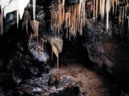
The natural features of this central English county range from the modest heights of the Peak District National Park, where Kinder Scout stands at 2,088 ft (636 m), to the depths of its remarkable underground caverns, floodlit to reveal exquisite Blue John stone. Walkers and cyclists will enjoy the High Peak Trail which extends from the Derwent Valley to the limestone plateau near Buxton, and for many, the spectacular scenery is what draws them to the area.
The county is well endowed with stately homes – most notably Chatsworth, the palatial home of the Duke and Duchess of Devonshire, with its outstanding collections of paintings, statuary and art. Other gems include the well preserved medieval Haddon Hall, the Elizabethan Hardwick Hall, and Kedleston Hall, whose entrance front has been described as the grandest Palladian façade in Britain.
The spa town of Matlock is the county’s administrative centre and other major towns of interest include Derby and the old coal mining town of Chesterfield, with its crooked spire. Around the villages of Derbyshire, look out for the ancient tradition of well dressing, the decorating of springs and wells – the precious sources of life-sustaining water – with pictures formed from flowers.
Discover more than 15,000 professionally rated places to stay, eat and visit from across the UK and Ireland.
Choose a place to stay safe in the knowledge that it has been expertly assessed by trained assessors.
Search by location or the type of place you're visiting to find your next ideal holiday experience.
Read our articles, city guides and recommended things to do for inspiration. We're here to help you explore the UK.