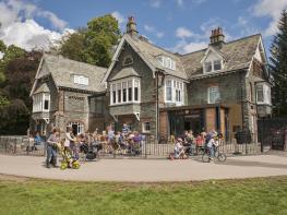
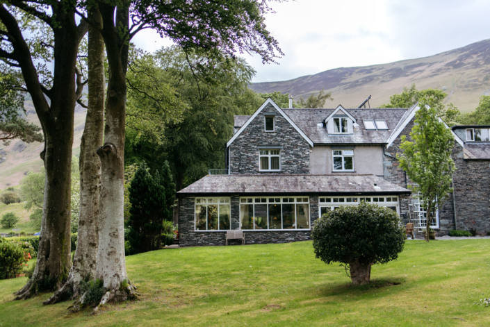

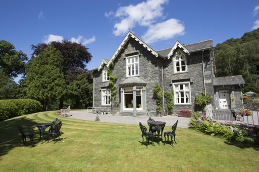

Keswick Country House Hotel
Keswick Country House is an impressive Victorian hotel set amid attractive gardens close to the…

A walk along a disused railway line leads across the top of Latrigg to a fine viewpoint above Keswick.
Latrigg
5 miles (8kms)
The railway line from Penrith to Cockermouth was the only one to actually pass through this area, taking a deliberate route to Keswick in order to tap into the tourist market. Opened to goods traffic in October 1864 and to passengers two months later, the line was primarily built for industrial rather than tourist reasons – to transport low-phosphorous coke from Durham via Stainmore to the iron foundries of West Cumberland. Despite their profound impact on the development of the mining and industrial areas of Cumberland, the existence of Lakeland's railways was a brief one. Their development began in the 1840s, but by the 1970s only a single line around the Lakeland fringe remained - that, and a tentative link between Windermere and Kendal. Thomas Bouch, the engineer for the Cockermouth, Keswick and Penrith Railway (known as the CK&P railway), tried to choose an easy route between Cockermouth and Penrith, but there were still many hollows to fill in, hills to tunnel and rivers to cross. There are 135 bridges on this 31-mile (50km) long railway line, 8 of them over the River Greta. Low Briery One of the stops along the route was Low Briery, the site of an old bobbin mill. In the early 19th century there was a water-powered pencil mill here, several bobbin mills and a specialist textile mill, known locally as Fancy Bottoms Mill, which made the intricate bottom edgings of waistcoats. The earliest bobbin mills in Cumbria appeared during the Industrial Revolution in response to demand from the mills of Lancashire and Yorkshire. By the mid-19th century there were some 120 water-powered bobbin mills in the Lake District alone, producing half of all the bobbins required by the entire world textile industry. Bobbins from Low Briery, which at peak production could turn out 40 million bobbins a year, were sent as far as Central America, South Africa and Hong Kong. Many different types of bobbin were manufactured at Low Briery, including those used for making the Coronation gown of Queen Elizabeth II. Other bobbins carried silk, cotton, Irish linen and the wire that was inserted into the old pound notes. The arrival of the railway in 1864 meant that timber could be brought from further away and made it easier for the growing workforce to reach the mill. However, with the decline of the textile industry and competition from abroad, the bobbin market collapsed, and Low Briery closed in 1961. By March 1972 the whole of this modest railway enterprise, too, came to an end. Much of the route has since been incorporated into the A66 road, but some remains as the Keswick Railway Footpath and a stretch of the National Cycle Network.
From the old Keswick Station, head along the trackbed, which speeds you away from Keswick. Beyond the A66, here cantilevered above the trackbed, the route covers a boardwalk section high above the River Greta before continuing to the site of the bobbin mill at Low Briery, now a caravan site.
Beyond Low Briery, the River Greta is an agreeable companion as far as an old railway building on the right, used as an information point (with a river bridge beyond). Before reaching the building, turn left through a gate and cross a narrow pasture to a back lane. Turn left and climb steeply for a short while. Keep left at the entrance to Lonscale Farm and then go through the gate on the right, signed 'Skiddaw'.
Follow the broad track that passes to the right of some gorse bushes, then runs centrally up the eastern ridge of Latrigg. Look back here for spectacular views of surrounding fells. A short way on reach a plantation on the right. Before the plantation ends, climb left from a metal gate and along the ridge to a wooden gate.
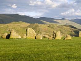
After the gate, a lovely stroll leads across the unmarked top of Latrigg, with great views of the Vale of Keswick, the Dodds, Borrowdale, the Newlands Valley, and, to the right, the massive bulk of Skiddaw.
Beyond the highest point of Latrigg, a bench is perfectly placed to admire the view. From here take a path descending gently to the right. Bear left at a fork and later drop in zig-zags to meet a track near another plantation.
At the track turn left, and continue down to Spooney Green Lane. The route crosses high above the A66 and runs on to meet Briar Rigg, a residential road on the edge of Keswick. At this junction, turn left into Briar Rigg, and follow the lane (an enclosed path on the left along Briar Rigg makes for safer passage). Turn right at a mini-roundabout and then left to return to the car park.
Railway trackbed, country lane, grassy fell paths
River valley and elongated grassy ridge
No particular problems, but fell sheep on Latrigg
AA Walker's Map 2 Central Lake District
At former Keswick Station
At start
Read our tips to look after yourself and the environment when following this walk.
Discover more than 15,000 professionally rated places to stay, eat and visit from across the UK and Ireland.
Choose a place to stay safe in the knowledge that it has been expertly assessed by trained assessors.
Search by location or the type of place you're visiting to find your next ideal holiday experience.
Read our articles, city guides and recommended things to do for inspiration. We're here to help you explore the UK.