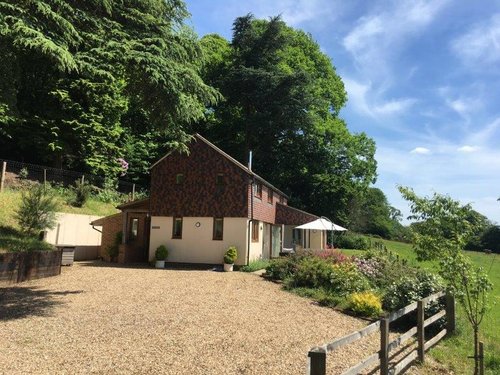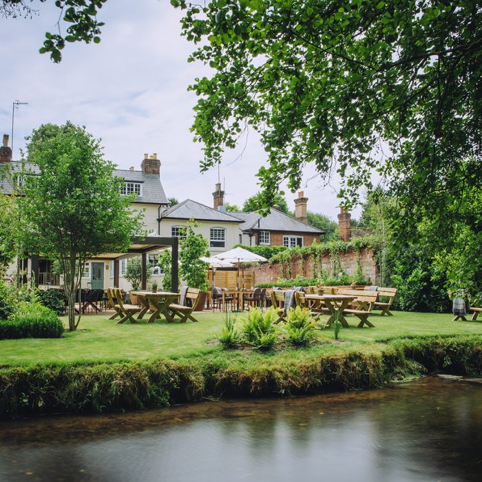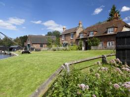

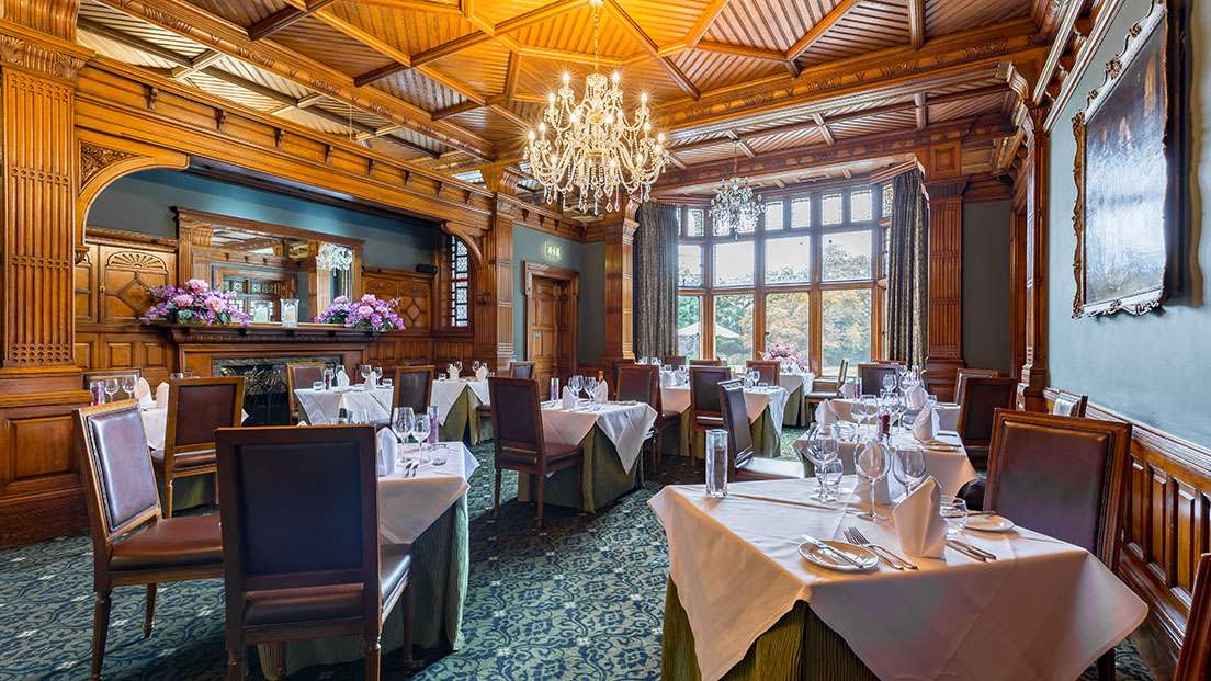

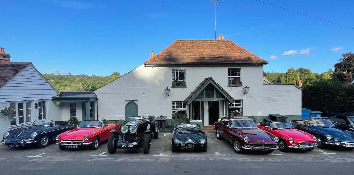
The Kings Head
Tucked away in a tranquil village in the Surrey Hills, The Kings Head offers three very comfy…

Explore the ancient Hurtwood then descend to the isolated but attractive village of Peaslake.
Peaslake
3.5 miles (5.7kms)
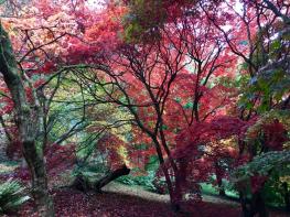
The Hurt Wood forms the first stage of this enjoyable walk. It is a lovely area of woodland and is unusual in that it was one of the first estates in England to allow the public full ‘right to roam’ in 1926. Today it is well cared-for by the landowners and welcomes walkers, dog owners, birdwatchers and horse riders.
This is the largest area of common land in Surrey and was originally given, in 1485, by Henry VII to Sir Reginald Bray who, according to legend, found the crown of Richard III in a thorn bush after the battle of Bosworth. The property has been in the same family ever since. It is a large area of 3,000 acres (1,215ha) and has some 60 miles (96.5km) of trails. The highest point is Holmbury Hill in Hurtwood at 857ft (261m), making it the fourth highest point in Surrey. The route through the wood leads down to the little village of Peaslake that has long been a rather isolated place and once had quite a disreputable reputation as it was the haunt of smugglers and gypsies as well as respectable yeomen farmers. A building here, dating from the 17th century, was an early Quaker Meeting House and was subsequently owned by Sir Adrian Boult, the conductor.
During the early 20th century a number of substantial houses were built for the gentry and these can be seen on the hillsides around Peaslake. The village also became popular with members of the suffragette movement. One of their leaders, Marion Wallace-Dunlop, had an Elizabethan house in the village where she was visited by other members of the movement. Marion was a particularly active suffragette. She was imprisoned following her attempt to damage the stonework of the House of Commons, she refused to pay the fine and went on hunger strike (one of the first people to do so) which led to her release. Later she was a pallbearer at Emily Pankhurst’s funeral and she subsequently cared for Emily Pankhurst’s adopted daughter, Mary. Today, the village is a meeting place for cyclists and mountain bikers who take advantage of the many good trails in the area, equally well-trodden by walkers.
Leave the car park on a path to the right of the notice board and walk uphill into the woods. At a cross-tracks turn right, and at the next cross-tracks go ahead. Keep to the main path, ignoring side tracks to reach the car park by the youth hostel. Keep straight on and ignore paths on the left. Pass the small track on the right to meet a broad track, turn right and follow this path as it descends and winds between two ponds. Continue up the hill, as the path levels then slowly descends. Ignore a path to the right and continue uphill and, when it levels out, continue straight on. Keep ahead at a cross-tracks with a bridleway and, at another cross-tracks with a waymark post, follow the footpath sign and go straight on. This is a broad ride with three wooden jumps and, at the third jump, fork right on to a narrow path going steeply downhill through the woods.
At a broad track turn right and right again at a T-junction with a sandy path. Shortly, meet a cross-track waymarked ‘Shere Millenium Trail’, and turn left. At the next cross-tracks continue uphill, ignoring side tracks and, at the next cross-tracks, go straight on. Pass through a barrier on to a path between fences, then go past another barrier to join a driveway to houses. At a road, cross to a barrier and a waymarker and follow the public footpath very steeply down to a road.
Turn right and right again on to Ewhurst Road. Continue along Peaslake Lane and, where the road bends left, ascend the 44 steps ahead. At the top, keep ahead (on to the grass), keeping to the left of the grassy area and passing to the right of a play area. Join a narrow path which soon turns left, then right, and continues beside a field. Meet a metalled track and turn left.
In 13yds (12m) pass Field House on the right, turn left and, in 20yds (18m), turn right by Barnfield Market Garden, along a footpath. Pass Timbers Ridge on the left and keep ahead. Cross a stile by a waymarker and follow the path across the field. At the far side go over a stile into a small wood, where the path descends steeply. At the bottom turn right by a waymarker and enter a wide grassy area with houses up to the left. Cross a stile by a gate, continue to meet a driveway to houses and keep ahead following the public footpath. The path rises gently uphill. Pass through a wooden barrier near a waymarker, then bear left, still uphill. At a waymarker on the left, bear left along a broad path to a car park on the left near the youth hostel. Continue, keeping straight on at a cross-tracks then descend steeply to a path and turn left to the car park.
Footpaths and bridleways through the Hurtwood and more rural paths on the return; 3 stiles
Woodland and wide horse rides above a pretty village
Very friendly – plenty of space to run
AA Walker's Map 23 Guildford, Farnham & The Downs
Hurtwood Control Trust Car Park No 9
None on route
Read our tips to look after yourself and the environment when following this walk.
Discover more than 15,000 professionally rated places to stay, eat and visit from across the UK and Ireland.
Choose a place to stay safe in the knowledge that it has been expertly assessed by trained assessors.
Search by location or the type of place you're visiting to find your next ideal holiday experience.
Read our articles, city guides and recommended things to do for inspiration. We're here to help you explore the UK.