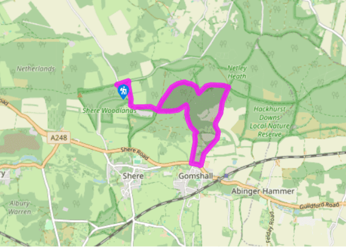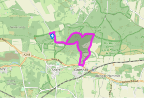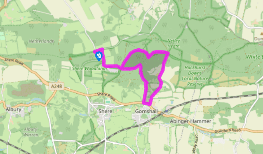
Gomshall and Netley Park
Walk to the entrance on Staple Lane and turn right. At the junction turn left and almost immediately right by the fingerpost down a public bridleway. It soon joins another track from the left. Keep ahead, ignoring the path from the right to meet the entrance to Hollister Farm and Hollister Cottage on the right.
Turn left, along the North Downs Way. Pass stables, go round a gate and an acorn waymarker indicating the North Downs Way. Keep along this track, passing a waymarker. At the next cross-tracks, by the sign for Netley Plantation keep ahead along the North Downs Way and in 580yds (530m) turn right by a waymarker along a public bridleway.

Been on this walk?
Send us photos or a comment about this route. Or recommend a route of your own.

Walking in Safety
Read our tips to look after yourself and the environment when following this walk.

Get an AA guide
Explore our range of ‘50 Walks in’ guides - they’re the ideal companion for a ramble.
Been on this walk?
Send us photos or a comment about this route. Or recommend a route of your own.
Walking in Safety
Read our tips to look after yourself and the environment when following this walk.
Get an AA guide
Explore our range of ‘50 Walks in’ guides - they’re the ideal companion for a ramble.
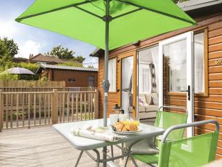
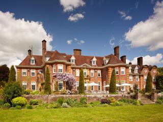
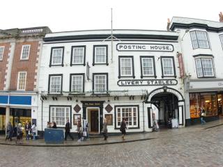
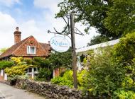
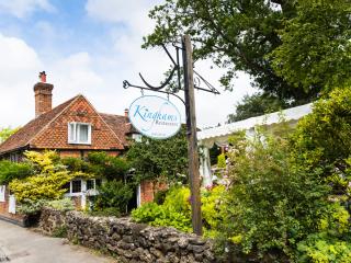
Nearby places to stay
View all (8)