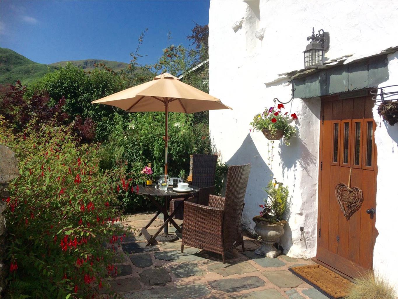

The Rowley Estates at Martindale
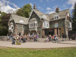
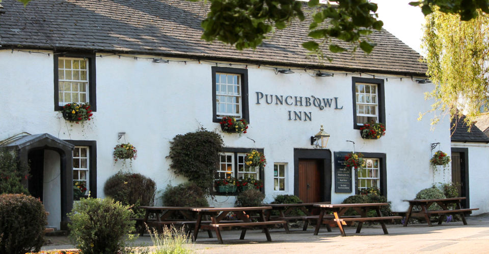
Hause Hall, the Cruik Barn and The Stables are in the heart of the northern Lake District…

To the summit of a fell famous for its beauty, returning through a waterfall-filled gorge.
Gowbarrow Fell
4 miles (6.4kms)
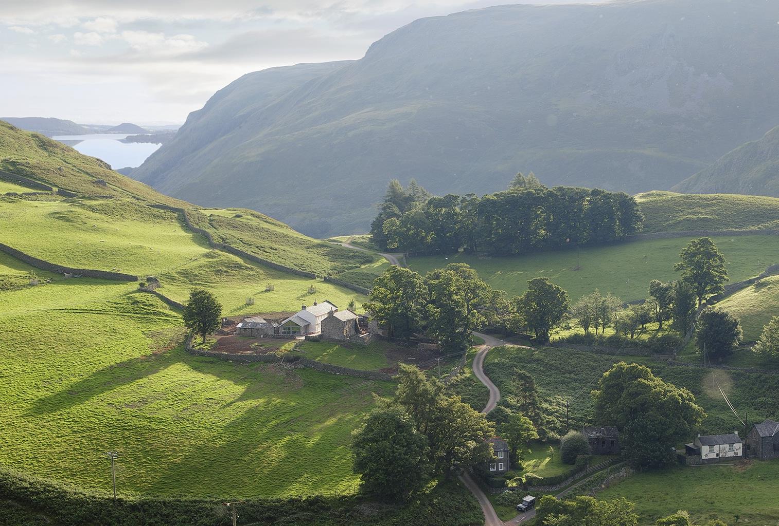
==Background==Gowbarrow (it’s pronounced ‘Gowbro’) Fell rises above Ullswater’s northern shore, the first arm of the hill country that leads eventually to Helvellyn’s lofty summit. A deer park from medieval times, along with nearby Glencoyne, it would have once been stocked with fallow deer to tempt aristocratic sportsmen. In the 1780s the Howards of Greystoke transformed an old rustic barn into the fancifully named Lyulph’s Tower and claimed to trace their lineage to some ancient ruler of the region, so it was already a known beauty spot when the Wordsworth’s rambled past in 1802, on their way home to Grasmere from Thomas Clarkson’s house at Eusmere near Pooley Bridge. Dorothy’s description in her diary of the journey is wonderfully prosaic. ‘When we were in the woods beyond Gowbarrow Park we saw a few daffodils close to the water’. Her brother turned the experience into perhaps his most famous lines: ‘I wandered, lonely as a cloud, That floats on high o’er vales and hills, When all at once I saw a crowd, A host of golden daffodils.’ ‘Daffodils’, 1804 ==Pleasure Garden==The Howards kept developing their lakeside estate, creating a pleasure garden from the tumbling Aira Beck with its magnificent falls. Bridges and pathways were followed by a full-blown arboretum of Sitka spruce, cedars and Douglas firs, many of which you can still see today. But the onset of the 20th century saw more pressing calls on their cash and in 1906 the Gowbarrow Estate was divided into building plots and put up for sale. A public hue and cry followed, engineered by the formidable pairing of Octavia Hill and Canon Rawnsley. Over £12,000 was raised by public subscription and de Quincy’s ‘most romantic of parks’ was saved for posterity by the National Trust. The opening ceremony was attended by one Woodrow Wilson, whose mother came from Carlisle and who was yet to become the 28th President of the United States. The National Trust still owns the land and much more around Ullswater, having ensured that it was to become a place of beauty to be enjoyed by the many, not the privileged few.
Walk through the gateway at the top of the car park, and then a gate following a path into the trees. Keep right, descending steps to a bridge. Cross the bridge and walk up the steps beyond. At the top, fork right up another short flight to join a path close to a boundary fence. After 120yds (110m) go through a gate in the fence on the right and walk out onto the fell.
Now follow a rising grassy path as it rakes up the fellside. Keep to the right-hand path initially then at a junction take the left-hand path rising up the fell. Follow this route, eventually rounding a corner by a memorial bench, where you’ll see a viewpoint, accessed by a stile on the right.
Returning to the main path continue as it cuts into the crags on a rocky shelf, before descending towards a wall and gate. Don’t go through the gate but turn left a few paces before it by the ruins of an old shooting hut.
A narrower path now rises up a little valley and across a stream and bogs. Swinging left up the hill as you approach a crossing wall, the route has been engineered to cross the bogs and your direction of travel is obvious.
Turn left at a T-junction with a made track, visit the summit, before returning to the junction and this time keeping ahead on the made path until it peters out. Stay with this direction heading for a wall, then bear left beside it, steepening in a series of zig-zags. Passing to the left of a plantation the steep path finally reaches a ladder stile into a boggy field. Across this a path line can be identified, meeting a substantial track at a T-junction.
Turn left here to a gate into woodland. Now follow the obvious descending track, never straying far from the beck on your right. Through a gap in a wall there are plenty of viewing points, but where the path forks the lower option takes you down to a bridge above the falls. Cross this and continue downstream now on the opposite bank. Rounding a corner as the water cascades into a deep chasm, pass through a gate and turn left down steps to a bridge. Cross it and turn right down a steep flight of stone steps.
Turn right for another view of the gorge, then return to this point and carry on down the terraced path above the gill. Eventually your downward route meets your outward route. Cross the bridge on the right and walk up the far side, turning left in the little enclosure to return to the car park.
Tracks and paths, some boggy, some quite rocky and steep; 1 stile
Fells, riverside gorge and lake
Fells grazed by sheep, so should be under close control for the first couple of miles
OS Explorer OL5 The English Lakes (NE)
National Trust pay-and-display car park at Aira Force off the A592
At car park
Read our tips to look after yourself and the environment when following this walk.
Discover more than 15,000 professionally rated places to stay, eat and visit from across the UK and Ireland.
Choose a place to stay safe in the knowledge that it has been expertly assessed by trained assessors.
Search by location or the type of place you're visiting to find your next ideal holiday experience.
Read our articles, city guides and recommended things to do for inspiration. We're here to help you explore the UK.