Gussage St Michael and the Dorset Cursus
Recommended by

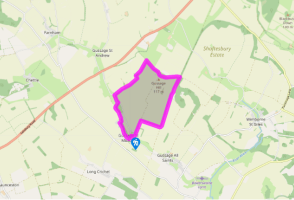
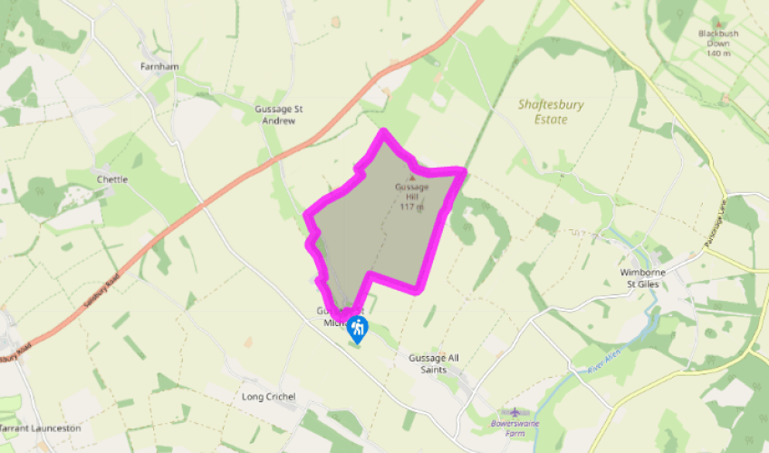
Walk directions
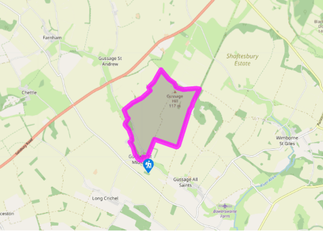
Turn left down the street in Gussage St Michael, as if you were going to the church, but turn right by Corner Cottage, onto the road signposted to Long Crichel. Where the road swings up to the left, go straight on, into Manor Road, following the footpath sign for Cashmoor. Continue along the broad green valley, passing houses on the left. Go past the large gates (path opening on the left side) and continue along the driveway.
At Manor Farm turn right down the drive for 109yds (100m) and then left across a stile beside a gate. Follow the track for 0.25 miles (400m), until you are level with a clump of trees to the left. Cross a stile to your right, then a footbridge and another stile. Bear left across the field corner to a footbridge into a garden. Turn sharp right through the garden to cross a stone footbridge and pass between the houses and garages at Ryall’s Lodge. Go up a drive to a road.
View all directions
Additional information
Terrain
- Firm tracks and green lanes (muddy after rain), sections of road
Landscape
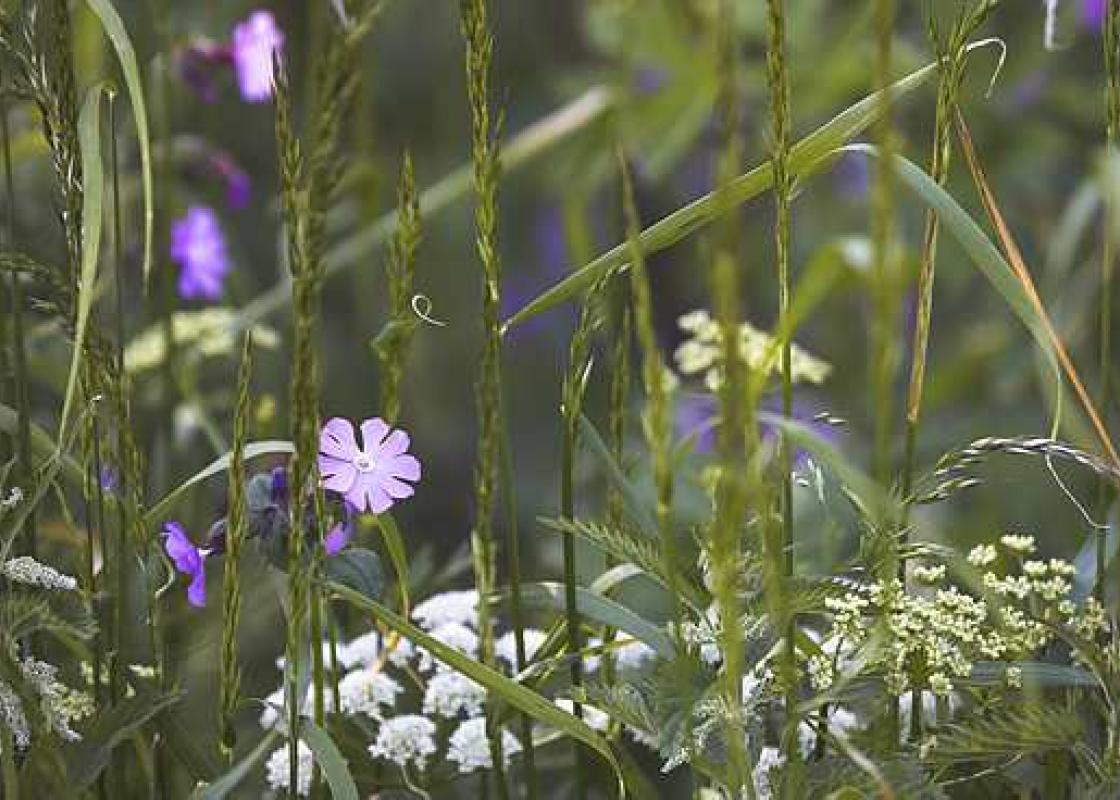
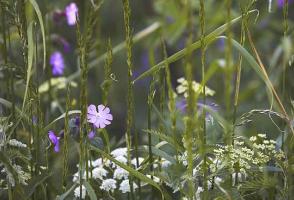
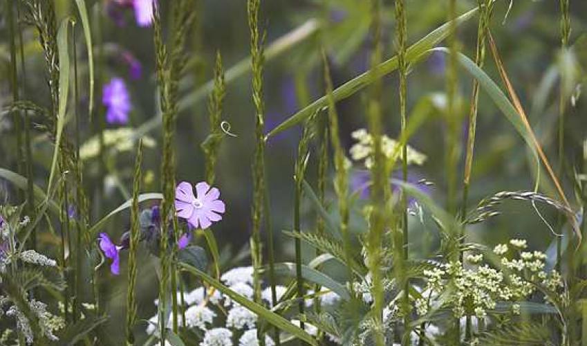
- Arable farmland and pasture dotted with ancient remains
Dog friendliness
- Leads required through farmyards; some road walking
Parking
- Lay-by in lane opposite garage, by entrance to Lower Farm, Gussage St Michael
Toilets en route
- None on route
About the walk
Like many parts of Dorset, the eastern vales offer some lovely views and are littered with ancient remains that add a touch of historical interest to any walk; the area around Gussage St Michael is no exception. The small, sprawling village is squeezed between Ackling Dyke, an important Roman road,...
Read more

Been on this walk?
Send us photos or a comment about this route. Or recommend a route of your own.

Walking in Safety
Read our tips to look after yourself and the environment when following this walk.

Get an AA guide
Explore our range of ‘50 Walks in’ guides - they’re the ideal companion for a ramble.
Been on this walk?
Send us photos or a comment about this route. Or recommend a route of your own.
Walking in Safety
Read our tips to look after yourself and the environment when following this walk.
Get an AA guide
Explore our range of ‘50 Walks in’ guides - they’re the ideal companion for a ramble.
About the area
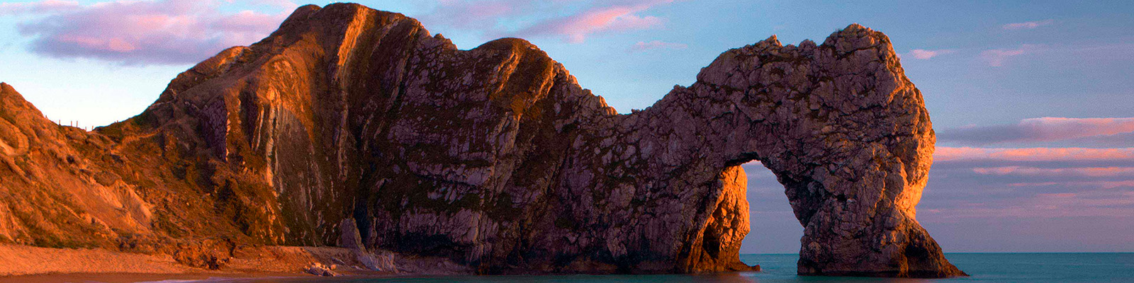
Dorset is made up of rugged coastlines, high chalk downlands and a chain of picturesque villages and seaside towns that make up Britain’s Jurassic Coast, a UNESCO World Heritage Site and Area of Outstanding Natural Beauty, noted for its layers of shale and numerous fossils embedded in the rock. Hidden gems of Dorset can be found down winding, country lanes that lead to snug villages hidden from view.
Nearby places to stay
View all (8)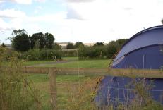
Caravan & Camping
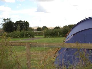
Church Farm Caravan & Camping Park

- Launderette
- Ice pack facility
- Cafe/Restaurant
- Picnic Area


Nearby places to stay
Church Farm Caravan & Camping Park
A spacious park located within the Cranborne Chase Area of Outstanding Natural Beauty which has been awarded Dark Sky status; the site is split into several camping areas, including one...
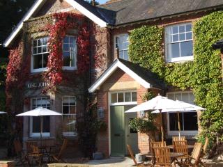
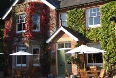
King John Inn
Very much the traditional village inn, the King John Inn has so much appeal, located in the sleepy village of Tollard Royal, on the borders of Wiltshire and Dorset. The bedrooms have be...
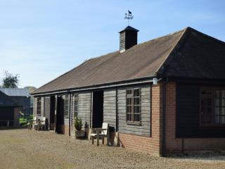
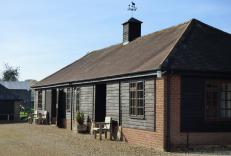
West Farm Lodges
Farm buildings were converted into four attractive and comfortable two-bedroom lodges. Guests will enjoy the peaceful rural setting, although Verwood is just a mile away. You can walk t...
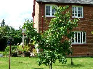
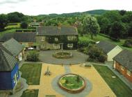
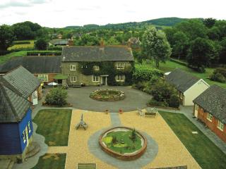
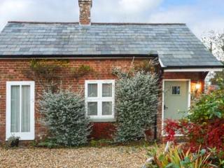
Denbur
Denbur stands in a lawned garden with cherry and apple trees in Gaunts Common, hunting ground of John of Gaunt, Richard ll’s uncle. The nearest town is Wimborne Minster, the minster its...
Denbur
Denbur stands in a lawned garden with cherry and apple trees in Gaunts Common, hunting ground of John of Gaunt, Richard ll’s uncle. The nearest town is Wimborne Minster, the minster its...
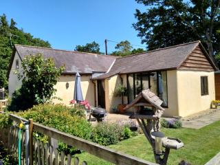
Forester's Cottage
Forester's Cottage is a delightful detached cottage within private grounds on the border of the New Forest/East Dorset. Ground level accommodation (no stairs) sleeps 4 and an infant (a ...
Forester's Cottage
Forester's cottage is a delightful, detached, 2-bedroom property. Each room has vaulted timber ceilings and en-suite shower rooms. Sleeping 4 + an infant, a travel cot and highchair can...
Parkfield Cottage
This compact, cosy, restored barn is set in the grounds of the owner's cottage in this attractive Dorset village. The imaginative conversion features a double bedroom with a beamed and...
Places to eat nearby View all