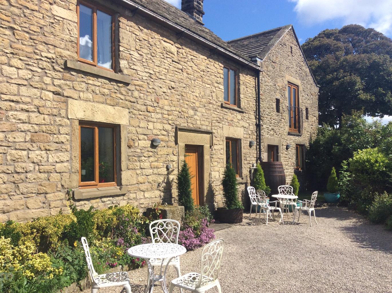
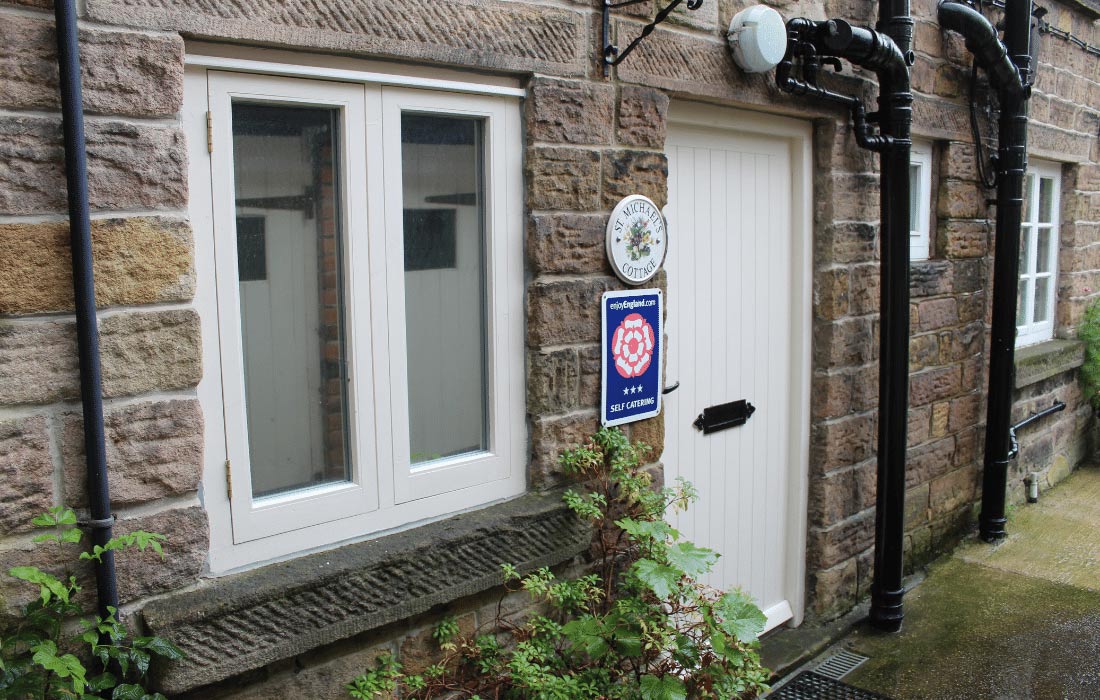
St Michael's Cottage
St Michael’s Cottage is located in a quiet spot a short walk from the centre of Hathersage at…

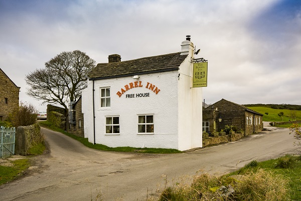
Hathersage
9.5 miles (15.3kms)
From Moscar, to Baslow a line of dark cliffs caps the heather moors east of the Derwent Valley. Writer Daniel Defoe called it a vast extended moor or waste in which strangers would be obliged to take guides or lose their way. Later, Charlotte Brontë visited Hathersage when staying with her friend Ellen Nussey, the wife of the local vicar. She would have found the place much more acceptable and not unlike her home at Haworth.
In the 1890s, the climber J W Putrell turned to the highest of these cliffs, Stanage Edge, and pioneered several gully routes. Others would follow and today Stanage and its neighbouring ‘edges’ are one of the most popular climbing venues in Britain. But Stanage is a great place for walkers too, for they can stride out on firm skyline paths with Sheffield on one side and Derbyshire on the other. High car parks mean that you can walk Stanage without much ascent, but it’s more rewarding to work for your fun, so this route starts at Hathersage.
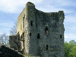
Hathersage is located by the banks of the River Derwent. The route starts gently on Baulk Lane and passes the cricket ground on its way through the little valley of Hood Brook. Gradients steepen and the route comes across the 16th-century castellated manor of North Lees Hall, the inspiration for Thornfield Hall, Mr Rochester’s home in Jane Eyre (written by Charlotte Brontë after staying in the area). The Eyre family did exist in real life and, at the time of her visits, were living in the Hall.
Above the hall the route climbs on to the moors and a paved causeway takes it to the top of the cliffs. The cliff-edge path to High Neb and Crow Chin is a delight and the views from it are extensive. After rejoining the edge, the path passes above Robin Hood’s Cave, where the legendary outlaw perhaps hid from the Sheriff of Nottingham, to reach the high road and the climbers’ car park. Now there’s just Higger Tor to do. The rocky knoll surrounded by an ocean of heather makes a fine finale, one last lofty perch before the descent back to Hathersage.
Leave the bottom of the car park along a path leading to Main Street. Turn right, then left into Baulk Lane. On leaving town, it degrades to a track before winding away between open fields.
After 0.75 miles (1.2km), at a fork near Cowclose Farm, bear left to a gate. Skirt Brookfield Manor to emerge on a tarmac lane (Birley Lane). Go right, but leave after 200yds (183m) along a track on the left. Pass around North Lees Hall, then turn right up steps to another track. Follow it across a meadow into a wood. Towards the top, a path branches left up steps to a tarmac lane near toilets.
Cross to a path opposite, climbing through bracken into Stanage Plantation. Emerging at the top, keep with the path ahead, rising between boulders on to the edge.
Follow the path left to join a track, the Long Causeway. After 50yds (46m) branch right to regain the edge and continue for a mile (1.6km), passing the trig column on High Neb to Crow Chin, a little further on.
Just before the edge swings north, take an obvious path clambering down to a broad grass track that once served the quarries. Return beneath the cliffs, eventually rejoining the Long Causeway. Follow it back up to the edge. Leave at an access waymarker to continue along the clifftop path over a ranch stile. After half a mile (800m), a narrow path drops down to Robin Hood’s Cave. Return to the edge and carry on to another trig column at the end of the ridge.
The onward path descends across the moor to a tarmac road. Turn left on the road, walking to a car park and leaving it through a kissing gate. Take the higher of the two paths to Higger Tor.
From the rocky top, turn sharp right down to the tarmac lane. Cross diagonally to a stile. Walk forward 20yds (18m) to a cross-path and turn left, descending below Callow Bank. Go through a gate and keep ahead on a rough track, which shortly leads to another tarmac lane. Go left for a quarter of a mile (400m) before leaving right on a track (no sign). As buildings appear, pass through a gate on the left and angle down below Toothill Farm across a couple of rough fields. Meet the line of a sunken path and follow it downhill to cross over a stile to another sunken path amongst trees, meeting a tarmac lane. Continue downhill as it winds past houses and cuts through Camp Green, a medieval camp, before passing a lane leading to the church.
On meeting School Lane, turn right to the main road, going right again into the village. Turn in at the gates of the Methodist Church and go back to the car park.
Well-defined paths and tracks, several stiles
Gritstone and heather moorland
Dogs are banned from northwestern part of Stanage Edge (beyond High Neb) due to nesting birds; elsewhere keep on lead
OS Explorer OL1 Peak District - Dark Peak Area
Pay car park, Oddfellows Road, Hathersage
Main road, Hathersage, and on lane above North Lees
Read our tips to look after yourself and the environment when following this walk.
The natural features of this central English county range from the modest heights of the Peak District National Park, where Kinder Scout stands at 2,088 ft (636 m), to the depths of its remarkable underground caverns, floodlit to reveal exquisite Blue John stone. Walkers and cyclists will enjoy the High Peak Trail which extends from the Derwent Valley to the limestone plateau near Buxton, and for many, the spectacular scenery is what draws them to the area.
The county is well endowed with stately homes – most notably Chatsworth, the palatial home of the Duke and Duchess of Devonshire, with its outstanding collections of paintings, statuary and art. Other gems include the well preserved medieval Haddon Hall, the Elizabethan Hardwick Hall, and Kedleston Hall, whose entrance front has been described as the grandest Palladian façade in Britain.
The spa town of Matlock is the county’s administrative centre and other major towns of interest include Derby and the old coal mining town of Chesterfield, with its crooked spire. Around the villages of Derbyshire, look out for the ancient tradition of well dressing, the decorating of springs and wells – the precious sources of life-sustaining water – with pictures formed from flowers.
Discover more than 15,000 professionally rated places to stay, eat and visit from across the UK and Ireland.
Choose a place to stay safe in the knowledge that it has been expertly assessed by trained assessors.
Search by location or the type of place you're visiting to find your next ideal holiday experience.
Read our articles, city guides and recommended things to do for inspiration. We're here to help you explore the UK.