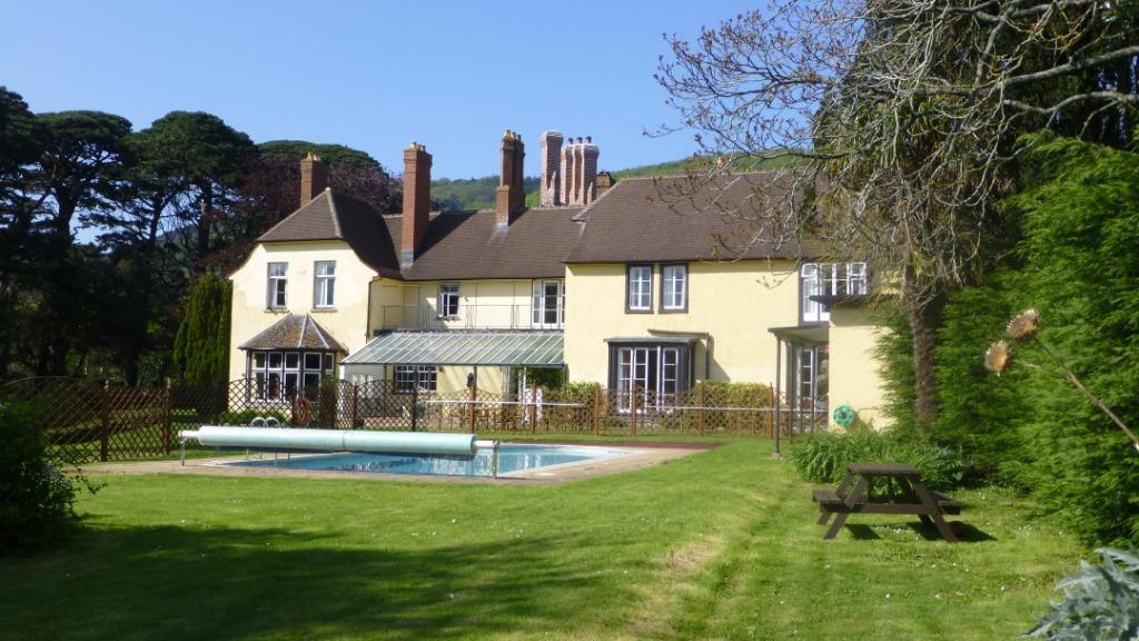

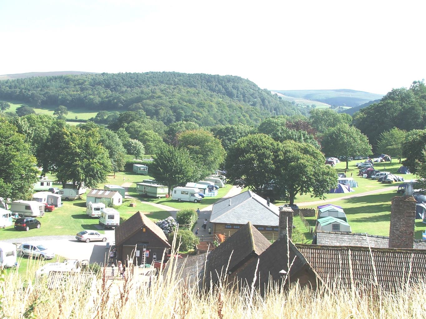
Burrowhayes Farm Caravan & Camping Site & Riding Stables
A delightful site on the edge of Exmoor that slopes gently down to Horner Water. The farm…

A stiff climb through wild woodland for a sudden sea view.
Porlock
6 miles (9.7kms)
A wood used to be something that just happened: a patch of ground too steep for the plough and too far from the village to be cut for firewood. Sometimes a patch of trees in a field corner turns out to have been there since the ancient wildwood covered the land at the end of the ice age. This is shown by the number and variety of its plant species, in particular its lichens; and by certain sorts of tree, such as the small-leaved lime. The Exmoor coast is rich in such woodland and in Hawk Combe the woods are among the oldest in Somerset.
On the sandstone soils and under the warm rainfall of the Exmoor combes the natural cover is an oak wood, specifically sessile oak. The more familiar common oak has its acorns on stalks, while the sessile's ones grow straight on the twig; in addition, the sessile oak's leaves are longer and less rounded than those of the common oak. Under the oaks grow native shrubs such as hazel and whitebeam. Our many sorts of native woodlice, leaf aphids and tree creepers flourish best on our native trees: they don't like nasty 'foreign' food like the horse chestnut. Dormice live in the hazel thickets, and the pied flycatcher darts through the green gloom. This bird prefers the western woods - some naturalists say that this is because the sessile oak, being lower and more spreading, gives better flight paths; others think it's just because these woods are allowed more creative neglect: rotten branches drop off, leaving handy nest holes.
If the climb through the woods of Hawk Combe is steep for feet, the A39 is equally so for wheels. It climbs 800ft in a mile (24m in 1.6km), with the steepest bit at the bottom. Extra horses were stationed at Porlock for attaching to the coaches here. Two-thirds of the way up until recently stood a traditional AA phone box in black, retained as a memory of the days when steam would jet from your radiator and the helpful AA man would come on his motorbike with a can of water. Modern cars can manage the ascent, though drivers who stall their engines may still have considerable trouble with a hill start on a 1 in 4 gradient. Coming down, though, there's still potential energy to be got rid of at roughly the rate of a one-bar electric fire. Those who neglect to engage low gear will end up with very hot brake discs – in Porlock car park you may catch the burnt-toast aroma of a car recently arrived from the west.
Leave the car park at its top end, then turn left. Just before the church turn right into Parsons Street. At a small parking area a bridleway sign for Hawkcombe points upstream to a footbridge.
The path climbs through bamboo and laurel, to join another bridleway. This zigzags steeply up through the wood, to pass below a wall with a small inset bench. At the top of this low wall, the paths divide.
Turn left, still climbing, and at once bear left, signposted 'Hawkcombe', into a sunken path. Emerging at a white house, called Halsecombe, keep ahead to a field gate marked with a blue spot. Follow the left edge of a field, to the right-hand of two gates; the next gate ahead leads back into woodland. Take the bridleway track ahead, gently descending. It becomes a terraced path, running near the top edge of the wood for a mile (1.6km) to reach a track.
Turn left down the track for just a few paces, and then turn right up a path between gorse bushes; it then runs through bracken and heather with views into the head of Hawk Combe. As the path enters a thicket of hawthorns bear right to reach the road signpost at Whitstone Post.
Cross the A39 into a parking area, and turn right down a heather path parallel with the road. After 110yds (100m) turn left down a broad track. Where it turns left, turn right on to a smaller track. This contours through gorse and heather, then rejoins the A39 at a cattle grid.
Turn left, then right on a farm track signposted to Hawkcombe. Cross two cattle grids to reach a junction with the path taken earlier. Keep on the track for another 125yds (114m), then turn left into a small, terraced path. This runs gently downhill for 0.25 miles (400m), to meet a wider path. Turn sharp right down to the stream.
A broad path runs downstream. On reaching some houses it becomes a tarred lane and descends through a wood. At a high wall on the right a footpath sign (Ley Hill) points to a footbridge. Over this, the path ascends gently through the woods for 220yds (201m). Bear left on a crossing path and gently descend to a street. Turn left to cross the stream, then turn right into Parsons Street and Porlock.
Initial stiff climb then smooth, well-marked paths
Steep woodland, leading on to open heath
Deer and wild ponies so dogs must be under control
AA Walker's Map 13 Exmoor
Pay-and-display at Porlock Central Car Park; free parking at Whitstone Post
At car park
Read our tips to look after yourself and the environment when following this walk.
Somerset means ‘summer pastures’ – appropriate given that so much of this county remains rural and unspoiled. Ever popular areas to visit are the limestone and red sandstone Mendip Hills rising to over 1,000 feet, and by complete contrast, to the south and southwest, the flat landscape of the Somerset Levels. Descend to the Somerset Levels, an evocative lowland landscape that was the setting for the Battle of Sedgemoor in 1685. In the depths of winter this is a desolate place and famously prone to extensive flooding. There is also a palpable sense of the distant past among these fields and scattered communities. It is claimed that Alfred the Great retreated here after his defeat by the Danes.
Away from the flat country are the Quantocks, once the haunt of poets Samuel Taylor Coleridge and William Wordsworth. The Quantocks are noted for their gentle slopes, heather-covered moorland expanses and red deer. From the summit, the Bristol Channel is visible where it meets the Severn Estuary. So much of this hilly landscape has a timeless quality about it and large areas have hardly changed since Coleridge and Wordsworth’s day.
Discover more than 15,000 professionally rated places to stay, eat and visit from across the UK and Ireland.
Choose a place to stay safe in the knowledge that it has been expertly assessed by trained assessors.
Search by location or the type of place you're visiting to find your next ideal holiday experience.
Read our articles, city guides and recommended things to do for inspiration. We're here to help you explore the UK.