


Greygles
This lovely cottage will be a hit with literature buffs keen to explore the Dorset countryside…

Higher Melcombe
5 miles (8kms)
Be prepared for confusion on this walk: it passes Higher Melcombe and then goes through Melcombe Bingham to Binghams Melcombe, which is also known as Melcombe Horsey. And Melcombe Horsey was the name of a village at Higher Melcombe that has now disappeared. Got that?
There has been a church at Binghams Melcombe since before 1302. The current one dates from the 14th century. The roving bell, ‘Regina Coeli Alla Alla’, was sold twice to raise funds for the church but kept coming back, eventually resting on the floor for 50 years until the money could be raised to rehang it. Today it’s safely back with its companion ‘O Beata Trinitas’ in the belfry. The church is cruciform, with two side chapels forming the arms of the cross. The Bingham chapel has a touching memorial to Thomas, infant son of Richard and Philadelphia Bingham, who died in 1711. The Binghams were one of Dorset’s leading parliamentary families during the Civil War, and their mansion and gardens (not open to the public), of which you can only catch a glimpse, are magnificent. The Dower House, opposite the church, has fine octagonal windowpanes.
Higher Melcombe is a solitary farm, set in a fertile green basin at the head of a valley. The buildings are dominated by the old manor house, built in the mid-15th century for Sir John Horsey, with a chapel attached later. A village called Melcombe Horsey once occupied this lovely spot. According to the map the village simply disappeared in medieval times, but why? Unlike Milton Abbas there is no sign of grand rebuilding. What could cause rural depopulation on such a scale? The answer lies at Dorset’s other Melcombe, the port of Melcombe Regis, now absorbed into the sprawl of Weymouth. In June 1348, the first case in Britain of bubonic plague – the Black Death – was brought ashore here. The disease, carried by fleas that were equally at home on black rats and people, spread through the county with devastating speed, wiping out between a third and a half of the population.
The feudal system that had operated until this time in Dorset, in which labourers had been tied to manorial land, could not survive in the face of such losses. With a drastic shortage of able bodies, labour became a prime commodity. Workers simply moved to where they could be paid for their work as free men. Once-thriving villages such as Melcombe Horsey were reduced to little hamlets, or sometimes just a single, isolated farm. The changes meant a great reduction in arable cultivation, to the extent that some prime farmland reverted to more manageable grazing.
Leave the parking area and turn left up the road, then go immediately left over a stile and down a waymarked path. Cross a stile, bear down the right edge of the field and cross a stile at the bottom. Continue straight up the next field. Cross a stile and road to go through a gate. Keep straight on, aiming just to the right of an electricity pole in the hedge to reach a pair of stiles in that hedge.
Go over these stiles then bear diagonally across the field, in line with the farmhouse on the skyline, to leave by the far corner. Keep forward in the next field beside a hedge, then go through a gate at the top and go slightly right to the fingerpost and gate just to the right of the farmhouse.
Turn left, signed ‘Dorset Gap’, up through the farmyard and, just beyond, take the right-hand of three gates. Walk along the right edge of the field, above a wood. Go through a pair of gates and continue straight ahead along the top of the ridge, enjoying superb views over Blackmoor Vale. The track descends abruptly. Turn right, through a gate, to a crossroads of tracks at the Dorsetshire Gap.
Turn left along a bridleway through a deep cleft, signposted ‘Higher Melcombe’. Keep left at another fingerpost at the edge of the wood. Go along a green lane and keep straight on the right edge of two fields. Ridges and hummocks in a field to your right are the only signs of the medieval village. Pass two farms at Higher Melcombe, at a junction of bridleways, and go through a gate and turn left, onto a minor road, or walk along the avenue that runs alongside (look right to see the hill track leading to the Giant’s Grave). Descend past some houses to a junction.
Turn left and walk on the road into Melcombe Bingham. Pass a row of houses then turn right before the first thatched house, signposted ‘Binghams Melcombe’. Go through a gateway to take the path across the field, bearing a little to the left, to join a fence. Maintain your direction, with the fence to your right, over a stile and through a strip of woodland. Continue ahead, across the centre of the field downhill towards Binghams Melcombe. Cross a stile and turn right. Follow the drive round and down to the church.
Retrace your route to the stile; do not cross it but continue up the grassy avenue. Before the end, turn left through a gate and go along a path in a copse. Bear left at each division of the path. Cross a stile and follow the right edge of the field, then bear right to go through a gateway and descend on a track. Go straight ahead to cross a gated footbridge. Keep straight on, bear right over a kissing gate in the fence and continue down the field. The path soon rises up a bank and goes through a gate, along a wooded strip and through another gate to reach the road. Turn right to return to your car.
Farmland, woodland track, ancient bridleway, road
Gently rolling farmland, little lumpy hills, village
Some road walking, one unfriendly stile
OS Explorer 117 Cerne Abbas & Bere Regis
Small parking area on north side of village hall
None on route
Read our tips to look after yourself and the environment when following this walk.
Dorset means rugged varied coastlines and high chalk downlands. Squeezed in among the cliffs and set amid some of Britain’s most beautiful scenery is a chain of picturesque villages and seaside towns. Along the coast you’ll find the Lulworth Ranges, which run from Kimmeridge Bay in the east to Lulworth Cove in the west. Together with a stretch of East Devon, this is Britain’s Jurassic Coast, a UNESCO World Heritage Site and Area of Outstanding Natural Beauty, noted for its layers of shale and numerous fossils embedded in the rock. Among the best-known natural landmarks on this stretch of the Dorset coast is Durdle Door, a rocky arch that has been shaped and sculpted to perfection by the elements. The whole area has the unmistakable stamp of prehistory.
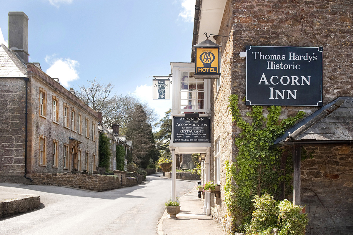
Away from Dorset’s magical coastline lies a landscape with a very different character and atmosphere, but one that is no less appealing. Here, winding, hedge-lined country lanes lead beneath lush, green hilltops to snug, sleepy villages hidden from view and the wider world. The people of Dorset are justifiably proud of the achievements of Thomas Hardy, its most famous son, and much of the county is immortalised in his writing.
Discover more than 15,000 professionally rated places to stay, eat and visit from across the UK and Ireland.
Choose a place to stay safe in the knowledge that it has been expertly assessed by trained assessors.
Search by location or the type of place you're visiting to find your next ideal holiday experience.
Read our articles, city guides and recommended things to do for inspiration. We're here to help you explore the UK.


