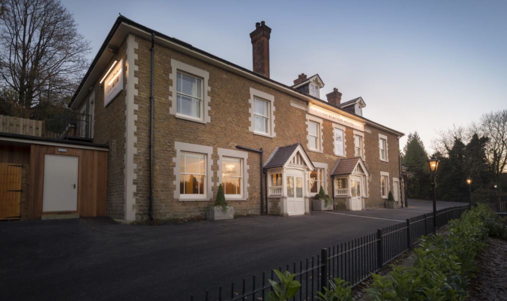
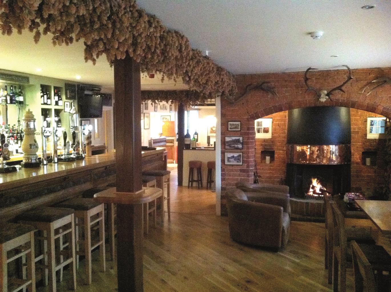
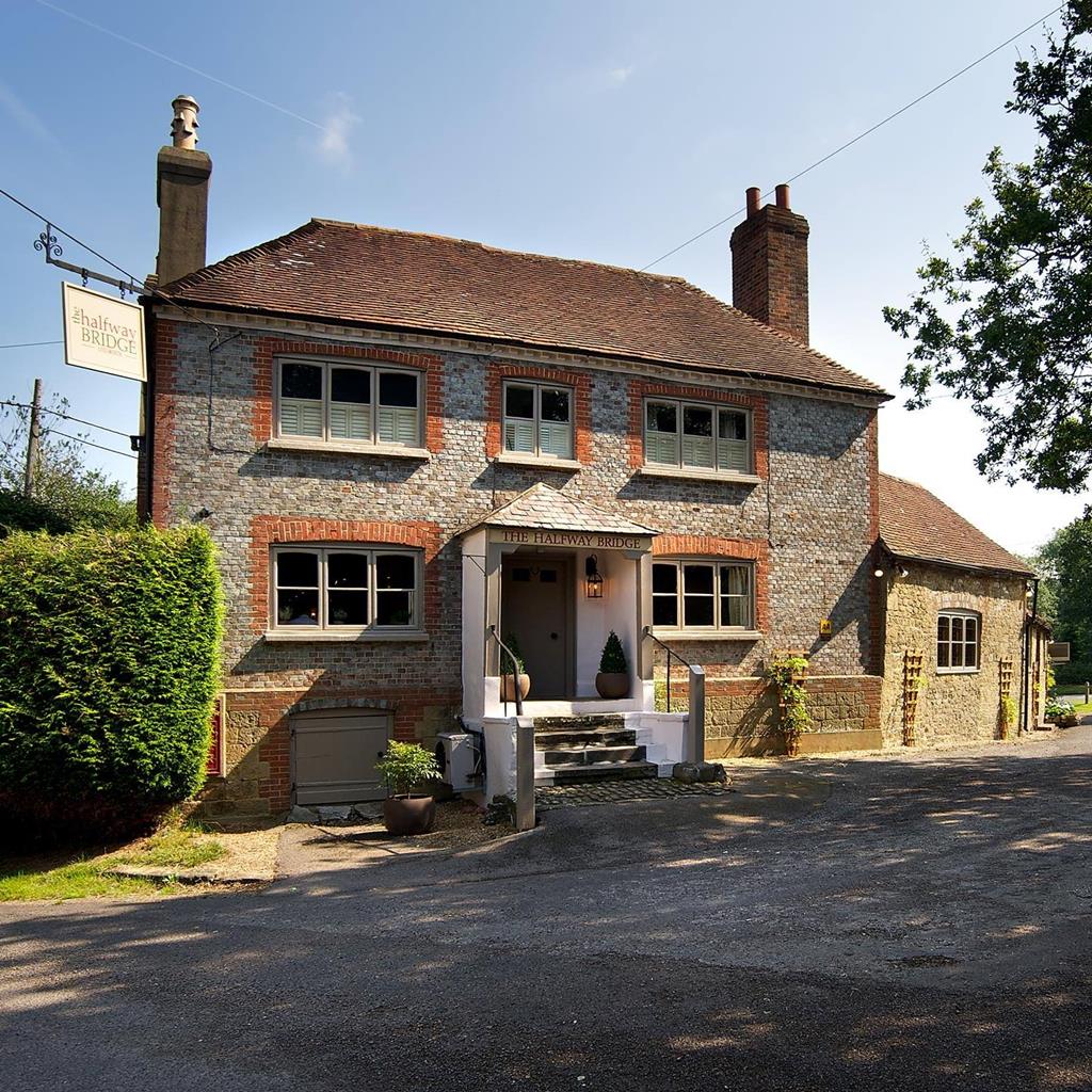
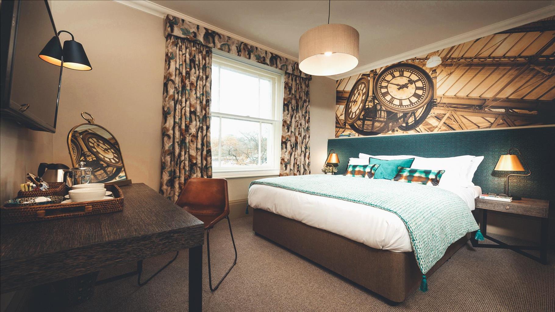
Harper's Haslemere is part of a small family of laid-back steak houses, fired up by the big,…
Hindhead and the Devil's Punch Bowl

A charming, varied circuit explores one of Surrey's best known beauty spots
3.5 miles (5.7kms)
About the walk
Today, Hindhead Common and the Devil’s Punch Bowl are renowned beauty spots, lovingly cared for by the National Trust. Yet just three centuries ago this desolate area was dreaded by travellers on the Portsmouth road. Daniel Defoe thought it barren and sterile, ‘horrid and frightful to look on’, and even after the road was turnpiked and improved in 1749, travellers were not entirely safe.
Murder on the road
One Sunday in September 1786, an unknown sailor with money in his pocket was making his way towards Portsmouth when he fell into the company of three other travellers: Michael Casey, Edward Lonegon and James Marshall. One of these three was apparently a former shipmate, and the four of them stopped at The Red Lion in Thursley for food and drink. The trio, it seems, were penniless, so their new-found friend paid the bill before they all set off over the Devil’s Punch Bowl towards Portsmouth. We shall never know whether the brutal murder on the summit east of Hindhead was anything more than simple robbery. But, whatever the motive, Casey, Lonegon and Marshall set about their companion, stabbing him repeatedly before stripping his body, rolling it down the hill into the Punch Bowl, and scurrying off towards Liphook. The spot is still marked by a memorial stone erected ‘in detestation of a barbarious murder committed here on an unknown sailor’ – look out for it on the left of the old road on the diversion up to Gibbet Hill, just after the start of this walk.
This may have been a lonely, windswept heath, but the murder didn’t go unobserved. Several people had seen the four men leave the inn at Thursley, and by chance two of them happened to be taking the self-same road. They saw the attack on the sailor, found his mutilated body and hurried back to Thursley to raise the alarm. It wasn’t long before Casey, Lonegon and Marshall were overtaken and arrested in The Sun Inn at Rake, near Petersfield. The three murderers were held in Guildford jail until their trial at Kingston in April 1787, when they pleaded guilty to ‘wilful murder and robbing’. Their total haul was valued at £1 7s 6d – about £130 in today’s money. The three men were hanged just two days later. Their bodies were coated in tar, and hung in chains from a great iron wheel mounted on a tall wooden post. The execution spot is still known as Gibbet Hill, and a Celtic cross now stands on the summit.
Walk directions
Head from the car park towards Devil’s Punch Bowl along the track between the café and the information board. Continue ahead to reach the viewing platform, marked by a bronze relief map of the Devil’s Punch Bowl, overlooking a spectacular view. Descend the few steps and then turn right along the path. After 100yds (91m), meet a fork in the paths with a gate on the left-hand path. (At this point you can take a simple, short there-and-back 1 mile/1.6km route to Gibbet Hill by following the right-hand path and NT blue-and-pink trail markers: the route continues ahead, crosses over the line of the old road at an information board, and then shortly turns left on a tarmac path that leads past the Sailor’s Memorial and then, 60yds (55m) later, turns right to Gibbet Hill. Afterwards, turn left to the Celtic cross and down a short narrow path to the tarmac path, turn left and retrace your steps to the junction of paths.)
Now take the left fork to pass through a wooden kissing gate. Continue past two seats close together; and, in a further 85yds (73m), reach steep steps on the left. Descend these 102 steps and follow the narrow path as it drops into the valley. At the bottom meet a broad path coming from the right and turn left. At the next cross-path, near a Roam 639 waymarker, turn right and walk uphill to a wooden kissing gate. Go through the gate, turn left and then right onto tarmac track to a staggered junction of four tracks, where the Greensand Way joins from the right. Take the track on the left, the continuation of the Greensand Way, also marked ‘Unsuitable for motor vehicles’. Continue until meeting another four-way cross-tracks.
Turn left off the Greensand Way, signed ‘Café 1.75 miles’, and bear gently right just beyond a waymark post 60yds (55m) further on. The unsurfaced track is easy to follow as it winds down into the valley, ignoring paths from the left and right. Continue straight ahead as another track leads in from the right opposite a bench seat, with open views to the woodland across the valley. Keep straight on through the gate beside the cattle grid, and pass Gnome Cottage nestled in the trees to your left, then climb on a metalled track to a seat at a T-junction. Turn right, signed to ‘Café 1 mile’. When the main track bears left towards Prices Cottage, continue ahead on a narrower path, down some steps to a small wooden footbridge. Cross the brook here, and make the short, sharp climb up the sunken lane opposite.
Turn left at the top through a kissing gate onto a delightful wooded track, waymarked ‘Highcombe Hike’. Just around a left-hand bend, keep to the lower, left-hand fork, again waymarked ‘Highcombe Hike’. Pass through a kissing gate; this is the start of a 0.5-mile (800m) steady but unremitting ascent to the summit, where you meet the gate you passed through earlier. Turn right and then bear left back to the car park.
Additional information
Mostly broad, unmade woodland tracks
Plunging, dramatic woods and heathland
Take special care at A3 crossings; strict control around grazing livestock
OS Explorer 145 Guildford & Farnham
National Trust Hindhead commons and Devil’s Punch Bowl car park, junction of A333 and A287
At car park
WALKING IN SAFETY
Read our tips to look after yourself and the environment when following this walk.
Find out more
Also in the area
About the area
Discover Surrey
Surrey may be better known for its suburbia than its scenery, but the image is unjust. Over a quarter of the county’s landscapes are official Areas of Outstanding Natural Beauty, and along the downs and the greensand ridge you can gaze to distant horizons with hardly a building in sight. This is one of England’s most wooded counties, and has more village greens than any other shire. You’ll find sandy tracks and cottage gardens, folded hillsides and welcoming village inns. There’s variety, too, as the fields and meadows of the east give way to the wooded downs and valleys west of the River Mole.
Of course there are also large built-up areas, mainly within and around the M25; but even here you can still find appealing visits and days out. On the fringe of Greater London you can picnic in Chaldon’s hay meadows, explore the wide open downs at Epsom, or drift idly beside the broad reaches of the stately River Thames. Deep in the Surrey countryside you’ll discover the Romans at Farley Heath, and mingle with the monks at England’s first Cistercian monastery. You’ll see buildings by great architects like Edwin Lutyens and Sir George Gilbert Scott, and meet authors too, from John Donne to Agatha Christie.
Nearby stays
Restaurants and Pubs
Nearby experiences
Recommended things to do
Why choose Rated Trips?
Your trusted guide to rated places across the UK
The best coverage
Discover more than 15,000 professionally rated places to stay, eat and visit from across the UK and Ireland.
Quality assured
Choose a place to stay safe in the knowledge that it has been expertly assessed by trained assessors.
Plan your next trip
Search by location or the type of place you're visiting to find your next ideal holiday experience.
Travel inspiration
Read our articles, city guides and recommended things to do for inspiration. We're here to help you explore the UK.


