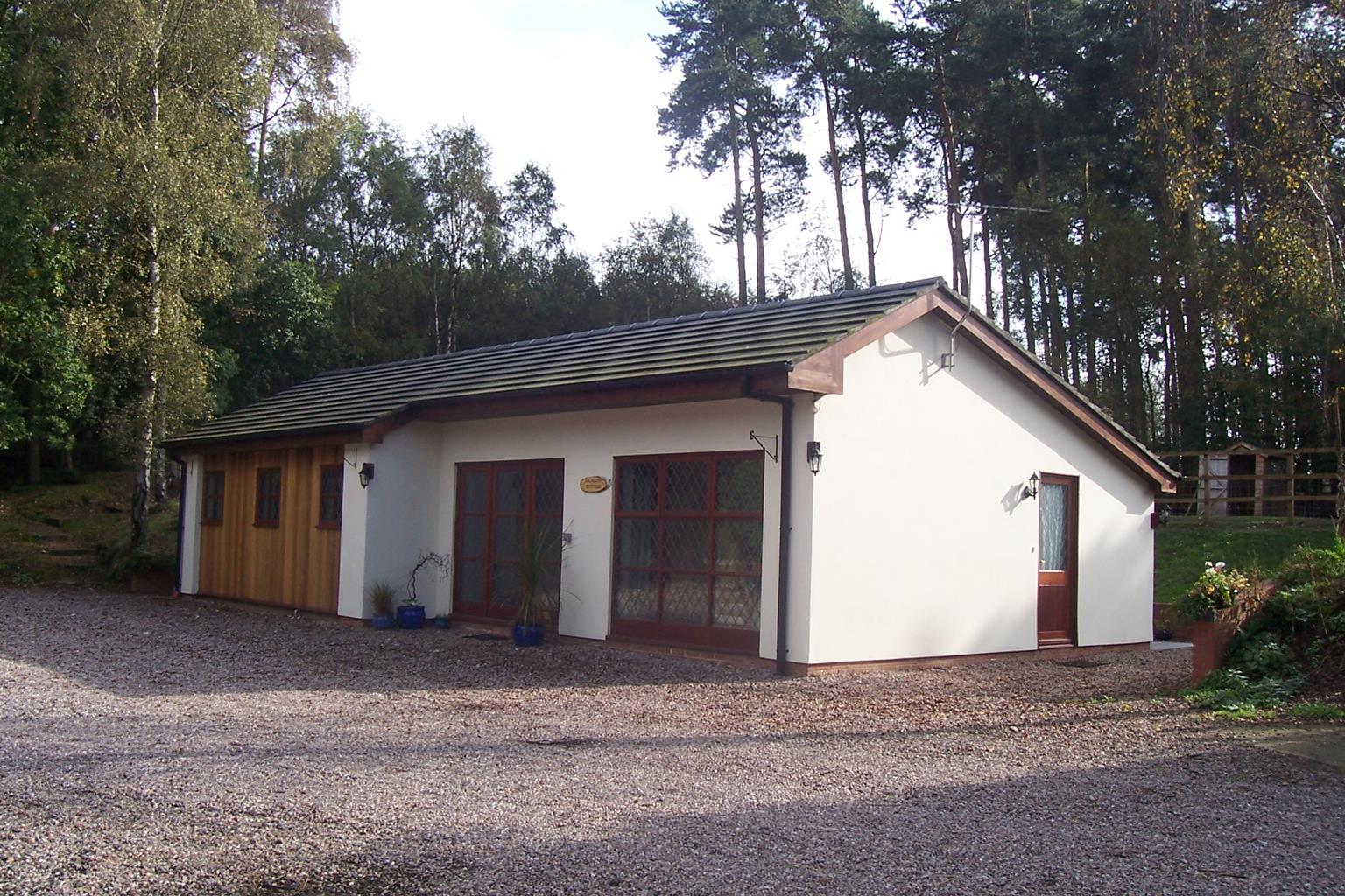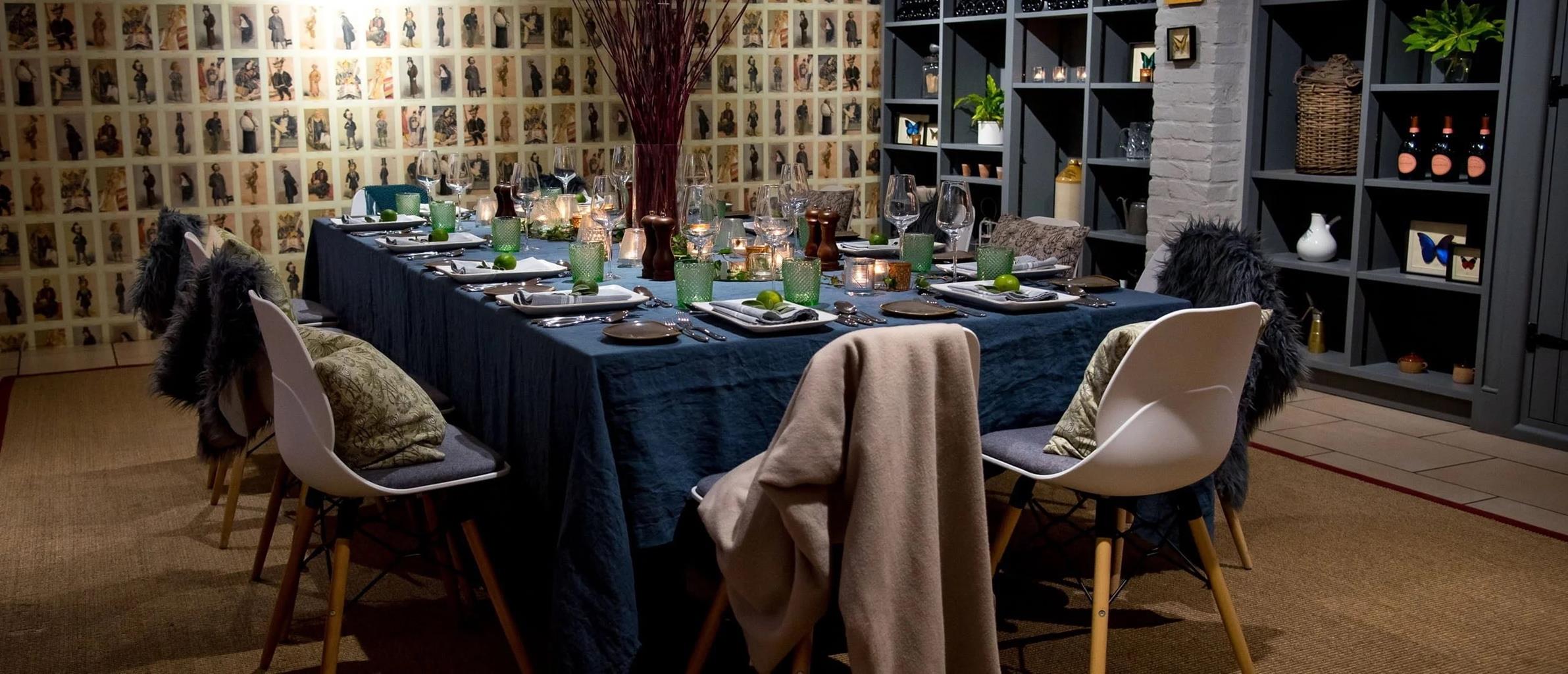


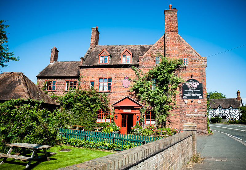
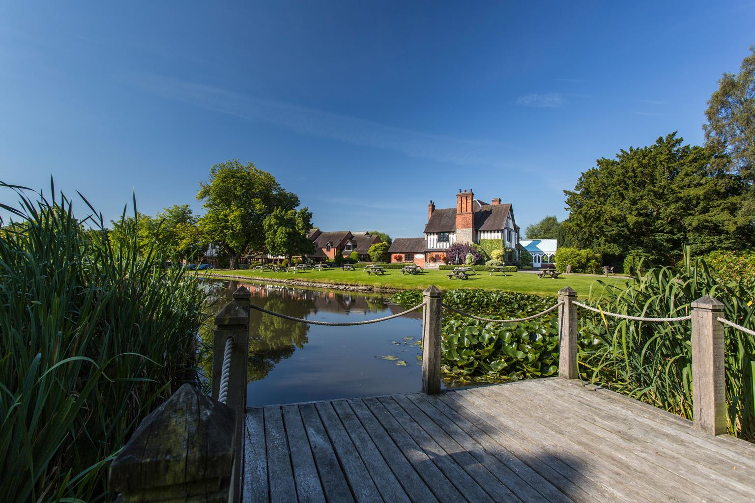
The Moat House
This 17th-century timbered building, with an idyllic canal-side setting, has been skilfully…

A walk skirting a reservoir and taking in the intersection of two remarkable feats of engineering.
Brewood
5.75 miles (9.2kms)
The first thing you need to know about Brewood is that it's pronounced 'brood', and getting this right first time round will instantly endear you to locals. The name – Breude in the Domesday Book (1086) – is from the Celtic bre, or hill, and the Old English wuda, meaning wood.
It was during the Roman occupation of Britain that the line to the north of Brewood was established as a main transport route when Watling Street was built, from London (Londinium) all the way to present-day Wroxeter, just to the west of Shrewsbury. It was one of dozens of major roads built by the Romans across Britain, the longest of which were the Fosse Way (from Exeter to Lincoln), Ermine Street (from London to York) and Watling Street itself, built in the first years of the invasion (AD 100), and later extended to Chester.
Roman roads in Britain were an extension of a systematic network connecting Rome to the four corners of its vast empire, built principally as a means of moving its great armies quickly and efficiently across occupied countries. In order to do this the roads had to be exceptionally well constructed. They were usually built on a raised embankment (to allow adequate drainage), made out of rubble obtained from drainage ditches dug on either side. Next came a layer of sand, or gravel and sand, sometimes mixed with clay; and finally the whole thing was metalled with flint, finer gravel or even the slag from the smelting of iron. The finished road was often several feet thick, cambered to allow water to run off it and with kerb stones on each side to channel any excess water.
Given the complexity of the roads, the huge distances covered and the realisation that every single inch was laboriously built by hand, the fact that many Roman roads – or at least their foundations – still exist today provides mute testimony to the mind-boggling efforts of their builders.
In addition to being well designed and well maintained, Roman roads almost invariably followed straight lines. Today's A5 follows the route of Watling Street for much of its length, and you only have to glance at an atlas to see how much straighter it is than any modern road. This was achieved by lining up marker posts, and the result meant both faster journey times and a much more efficient communications network. It's worth noting that the Shropshire Union Canal, which bisects Watling Street just to the north of Brewood, was built along similar principles, raised on great embankments and built in a series of straight lines, ultimately to improve travel times.
From The Bridge Inn car park, go straight across the main road and down some steps to the canal. Go right at the bottom of the steps and follow the canal tow path to pass over the A5 and then through Stretton Spoil Banks to Bridge No. 17 near Lapley Wood Farm.
Cross over the bridge and, at the concrete track, turn left for 100yds (91m). Just after this track bears right, go through the gate in the hedge to your right. Follow the hedge along the edge of the field and then along a dirt trail along a thin strip of woodland.
At the end of the trees, go through the gate directly ahead and then diagonally left across a field to its left-hand corner. Go through another small gate and keep ahead along the left-hand edge of the field. At the end of this very large field go through the gate and across another small field to the edge of Whitegate Farm. Skirt round the left-hand edge of the courtyard to reach a gate onto the A5.
Take care crossing this busy main road and then head left for 50yds (46m) before turning right along a metalled farm road. Follow this as far as The Hawkshutts. Opposite the corner of the garden wall, go left through a gate. Keep ahead to the right of the hedge, and then across a field, to pass along the right-hand edge of the wood ahead (the wood has a pond in it). Continue across the next field to a gate ahead.
After going through the gate, bear right along a path through bushes and trees and through the gate into another field. Bear slightly left here, aiming for a cottage with tall chimneys, until you get to a gate and a gravel-surfaced farm track. Turn right, along this track past Birks Barn Farm to a road. Turn left and walk for 0.5 miles (800m), as far as Leafields Barns.
Go over a stile on the right, then after a second beyond a driveway go diagonally left across a field in the direction of the church steeples until you get to a stile. Cross the stile and head right, around the edge of the field, to a line of trees down the middle. Head left here, following the line of trees as far as a field track. Go ahead up the track to the canal and then turn right, back towards St Mary's Church and the start.
Tow paths, grass trails and roads, several stiles
Canal, farmland and reservoir
Must be kept on lead near livestock
OS Explorer 242 Telford, Ironbridge & The Wrekin
Walkers eating at the Bridge Inn can use car park; street parking in Brewood
Brewood village centre
Read our tips to look after yourself and the environment when following this walk.
It was Staffordshire that bore the brunt of the largest non-nuclear explosion of World War II, when a munitions dump at RAF Fauld went up in 1944. It was also the county’s regiment that once boasted within its ranks the most decorated NCO of World War I, in the person of William Coltman (1891-1974). Going back a little further, George Handel penned his world-famous masterpiece The Messiah on Staffordshire soil. During another chapter of Staffordshire history, the county was home to the first canals and the first factory in Britain, and it had front-row seats for the drama surrounding one of the most notorious murder trials of the 19th century, that of Doctor William Palmer.
In outline, Staffordshire looks not unlike the profile of a man giving Leicestershire a big kiss. The man’s forehead is arguably the best region for hillwalking, as it comprises a significant chunk of the Peak District. This area is characterised by lofty moors, deep dales and tremendous views of both. Further south are the six sprawling towns that make up Stoke-on-Trent, which historically have had such an impact on Staffordshire’s fortunes, not to mention its culture and countryside. This is pottery country, formerly at the forefront of the Industrial Revolution and the driving force behind a network of canals that still criss-cross the county.
Discover more than 15,000 professionally rated places to stay, eat and visit from across the UK and Ireland.
Choose a place to stay safe in the knowledge that it has been expertly assessed by trained assessors.
Search by location or the type of place you're visiting to find your next ideal holiday experience.
Read our articles, city guides and recommended things to do for inspiration. We're here to help you explore the UK.