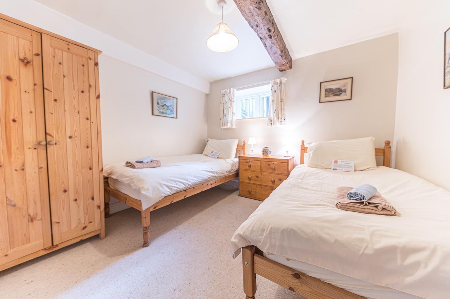
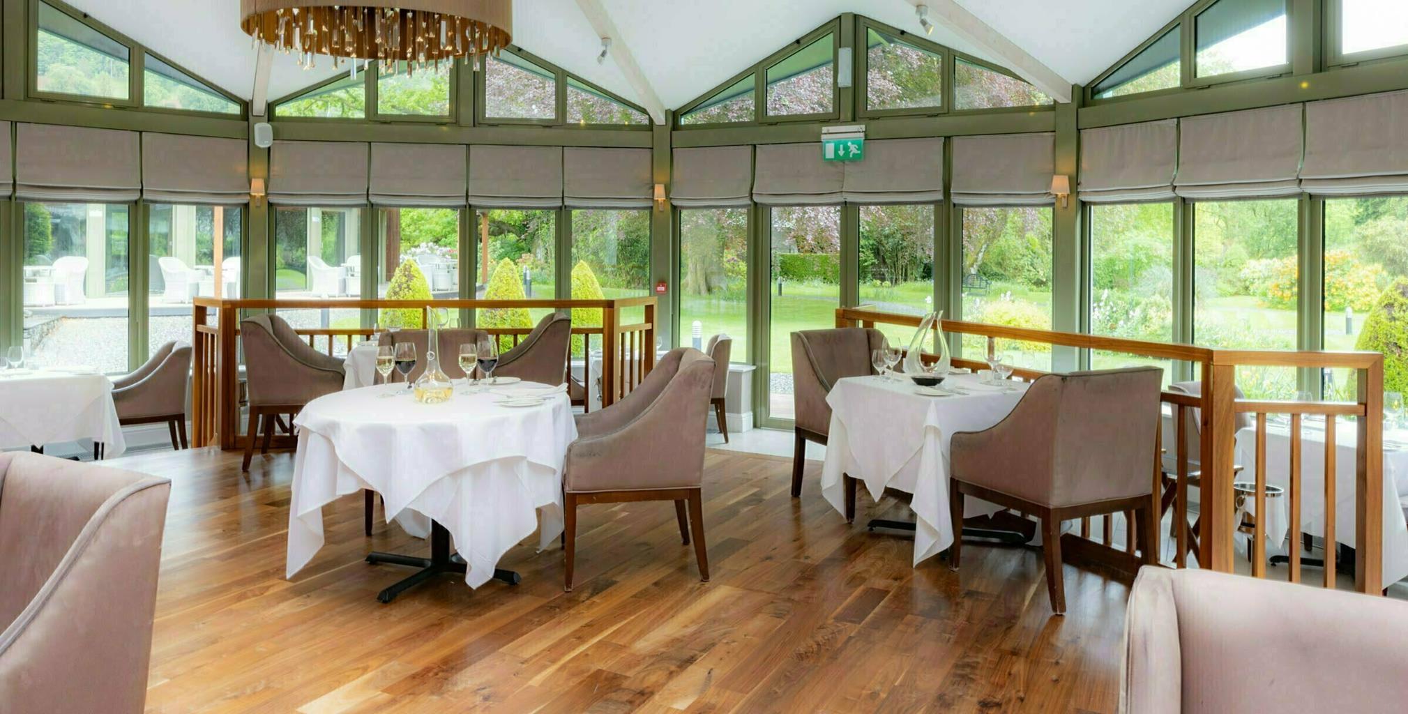

Lowfield House
Surrounded by spectacular Lake District scenery, Lowfield House in Little Langdale is a…

Explore Little Langdale and the gaping hole of Hodge Close Quarry.
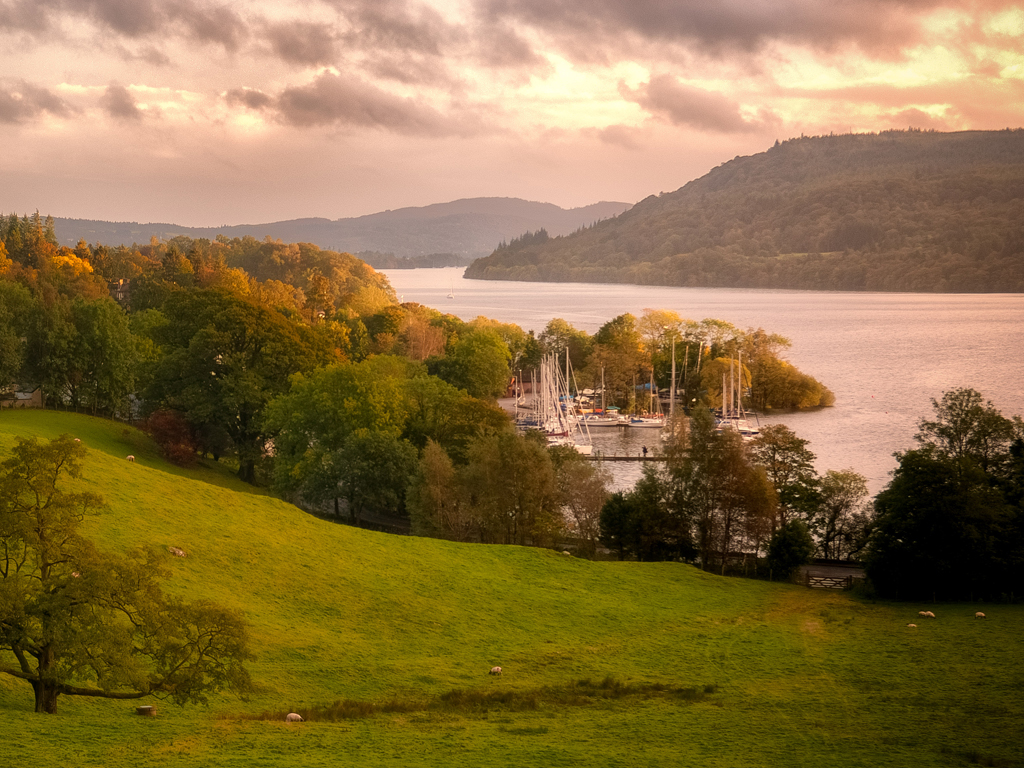
Little Langdale
4.5 miles (7.2kms)
From Yewdale, the quiet vale of Tilberthwaite corkscrews northwards between brackened and craggy fells into a narrow wooded corridor that reaches the River Brathay in picturesque Little Langdale. A predominance of thick oak and deciduous woods cloak the valley flanks and bottom. Within these woods, old slate quarries litter the landscape, bearing testament to a once prosperous industry. The band of woodland before the descent to Stang End Farm is known locally as Sepulchre Wood and it is said that plague victims who died in Little Langdale were once buried here. After Stang End Farm, the route crosses the River Brathay and soon reaches Little Langdale village, with the Three Shires Inn at its heart. The inn is named after the Three Shires Stone, which stands near the summit of Wrynose Pass, where the old counties of Lancashire, Westmorland and Cumberland met. Leaving the village, the route re-crosses the Brathay by the famous Slater Bridge, which spans the Brathay with two great slabs of slate and a stone arch. It has been speculated that the narrow arch portion of the bridge may be of Roman origin.
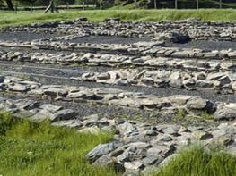
This walk begins by the gaping hole of Hodge Close Quarry. Extending into Parrock Quarry through a great rock archway, this is reputedly one of the largest artificial holes in England. The quarry, last worked in the early 1970s, is around 100ft (30m) deep, and great caution should be exercised if approaching the edge. Apart from its visible extent, a great water-filled sump leads through tunnels to large underground chambers known as Close Head Quarries. Local folklore tells of Jim Birkett, then apprentice river, or splitter, of the slate, who in the 1930s travelled the length of the quarry hanging by one hand from the jib of an aerial ropeway. Although the edges of the quarry frequently peel away due to the slatey cleavage of the rock, it is a popular recreation area and stones must never be thrown into the workings. Below the rim, often hidden from above, rock climbers scale the walls and divers explore the depths of the deep sump of water.
From the parking area, follow the road down through the hamlet of Hodge Close and on through a gate. The road continues as a track, though classed as a public road, descending into the woods. Follow the track, past open fields and through more woods before a short descent leads to Stang End Farm.
Bear left to find a gate immediately to the left of the first cottage. Pass through the gate, which has a footpath sign, and follow the track down between stone walls. The track opens into a field with a gate and stile. Follow the path bearing right and crossing the field, often flooded, to cross the Lang Parrock footbridge, with steps at both ends, spanning the River Brathay. Ascend the field and take the gate out onto the road. Go left up the road through Little Langdale village to pass the Three Shires Inn.
Turn left on a lane signed ‘Tilberthwaite. Not recommended for cars’. Pass the white house of Low Birk How to reach steps and a gate on the right. Follow the path up more steps and over the rise to a gate. Follow the narrow path beneath the rocks and through a gap in a stone wall. Descend to a second gap and turn left to Slater Bridge.
Cross the bridge and the stile beyond then go up to a gate onto a track. Go right to pass Low Hall Garth and rise steeply past High Hall Garth. The track leads through a gate and fords a stream. Climb more gently to a junction in a few hundred yards; there’s a signpost, and Pike o’Stickle appears dramatically beyond the low gap of Blea Tarn.
Go sharp left, up the track and over the high shoulder of Knotts. The route is popular with a variety of traffic, including 4x4 off-roaders, and is severely eroded in places, but is always easy to follow. It eventually descends into the farmyard of High Tilberthwaite.
Turn sharp left to follow the low-level track back along the valley. The track enters woods, passing cave-like quarry workings and heaps of slate spoil before making a curving descent to the right. At the bottom turn right and continue to cross the stream of Pierce How Beck by a slab bridge.
Ascend, passing beneath banks of quarry waste, to a gate. A few paces further on, turn right up steps to a smaller gate. More steps and a steep path over the spoil heap lead directly back to the car park. (If this looks too steep, simply continue up the main track to the hamlet of Hodge Close then turn right to the parking area.)
Stony paths and tracks, road
Disused slate quarries, village below high fells, wooded dales, river
Generally good; sheep grazing and short road section
OS Explorer OL7 The English Lakes (SE)
On Hodge Close Quarry Bank by roadside
None on route
Read our tips to look after yourself and the environment when following this walk.
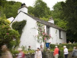
Cumbria's rugged yet beautiful landscape is best known for the Lake District National Park that sits within its boundaries. It’s famous for Lake Windermere, England’s largest lake, and Derwent Water, ‘Queen of the English Lakes'. This beautiful countryside once inspired William Wordsworth and his home, Dove Cottage, in Grasmere is a popular museum. Another place of literary pilgrimage is Hill Top, home of Beatrix Potter, located near Windermere. Tom Kitten, Samuel Whiskers and Jemima Puddleduck were all created here.
Much of Cumbria is often overlooked in favour of the Lake Distirct. In the south, the Lune Valley remains as lovely as it was when Turner painted it. The coast is also a secret gem. With its wide cobbled streets, spacious green and views of the Solway Firth, Silloth is a fine Victorian seaside resort. Other towns along this coastline include Whitehaven, Workington and Maryport. Carlisle is well worth a look – once a Roman camp, its red-brick cathedral dates back to the early 12th century and its 11th-century castle was built by William Rufus.
Discover more than 15,000 professionally rated places to stay, eat and visit from across the UK and Ireland.
Choose a place to stay safe in the knowledge that it has been expertly assessed by trained assessors.
Search by location or the type of place you're visiting to find your next ideal holiday experience.
Read our articles, city guides and recommended things to do for inspiration. We're here to help you explore the UK.