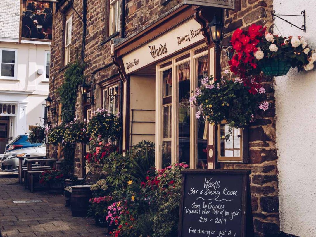
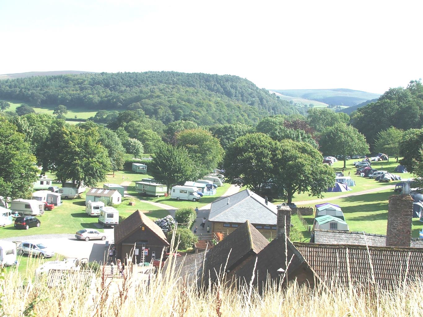
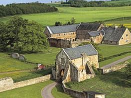
A delightful site on the edge of Exmoor that slopes gently down to Horner Water. The farm…
Horner's corners

On the trail of Exmoor's red deer in the woodlands under Dunkery Beacon.
4.5 miles (7.2kms)
About the walk
Horner takes its name from the Saxon hwrnwr, a wonderfully expressive word meaning snorer, that here describes the rumble of the stream in its enclosed valley. Above the treetops, Webber's Post is a splendid viewpoint out across the Bristol Channel. What Mr Webber stood there to view, though, was the hunting of red deer. The herd on Exmoor numbers several thousand. Although this is small compared to those in the Scottish Highlands, the Exmoor stag himself is the UK's biggest wild deer. This is simply because his life is slightly easier - farmed deer are larger again. On Exmoor, as in the rest of Northern Europe outside Scotland, the deer remains a forest animal. Exmoor's mix of impenetrable woodland with areas of open grazing, even with all its houses, farms and fields, remains good deer country. The calf is born dappled for camouflage under the trees, and lies in shelter during the day while the hind feeds. If you do come across a deer calf, leave it alone – it hasn't been abandoned. During the summer the stags and hinds run in separate herds. In the Scottish Highlands deer graze on high ground during the day to escape from midges, and descend to the forest at night; on Exmoor the main annoying pest is the human, so the deer graze the moor at dawn and dusk, and spend the day in the trees.
Stag nights
In September and October comes the spectacular rut, when stags roar defiance at each other, and, if that fails, do battle with antlers for mating privileges. During this time they eat only occasionally, fight a lot and mate as often as possible. The stag with a mighty roar and a hard head can gather a harem of a dozen hinds. Your best chance of seeing one is very early or very late in the day – or else in the forest. You may well smell the deer, even though it probably smelled you first and has already gone quietly away. Look closely, too, at the small brown cows two fields away – they may well actually turn out to be deer – binoculars are a must. While deer are thriving, it is the Exmoor stag hunters that are in danger of extinction. Just one pack of the traditional staghounds remains. Following pressure from its own members, the National Trust banned hunting from its land, and in 2004 the Hunting Act criminalised both fox and stag hunting.
Walk directions
Leave the National Trust car park in Horner village past the toilets and turn right to the track leading into Horner Wood. This crosses a bridge and passes a field before rejoining Horner Water. You can take a footpath alongside the stream instead of the track, they lead to the same place. Ignore the first footbridge, and continue along the obvious track to where a sign, 'Dunkery Beacon', points to the left towards a second footbridge.
Ignore this footbridge as well. Keep on the track for another 100yds (91m), then fork left on a path alongside West Water. This rejoins the track, and after another 0.5miles (800m) alongside the track is another footbridge.
Cross to a path that slants up to the right. After 200yds (183m) turn left into a smaller path that turns uphill alongside Prickslade Combe. The path reaches the combe's little stream at a crosspath, with the wood top visible above. Here turn left, across the stream, on a path contouring through the top of the wood. After a dip and climb, it emerges into the open and arrives at a fine view over the top of the woodlands to Porlock Bay. It joins a bridleway near a lone pine with a bench.
Continue ahead on the bridleway's grassy track, with the car park of Webber's Post visible ahead. Alas, the deep valley of the East Water lies between you and your destination. So, in 55yds (50m), fork down left on a clear path back into birchwoods. This zigzags down to meet a larger track in the valley bottom.
Turn downstream, crossing a footbridge over the East Water, beside a ford. After about 60yds (55m) bear right on to an ascending path. At the top of the steep section turn right on a small sunken path that climbs to the right to Webber's Post car park.
Walk to the left, round the car park, to a path to Horner. (Or you could take the grey-surfaced, easy-access path immediately to the right.) The path runs immediately below the 'easy access' one. Just after the concrete sculpture where easy access turns back, bear left on a wider path, soon passing a wooden shelter hut. Again fork left on a wider path to keep ahead down a wide, gentle spur, with the deep valley of the Horner Water on your left. As the spur teepens, the footpath meets a crossing track signposted 'Windsor Path'.
Turn right for perhaps 30 paces, then take a descending path signposted 'Horner'. Narrow at first, this widens and finally meets a wide, horse-mangled track with wooden steps; turn left down this into Horner.
Additional information
Broad paths, with some stonier ones, steep in places
Dense woodland in steep-sided stream valleys
Off lead, but be aware of deer and horse-riders
AA Walker's Map 13 Exmoor
National Trust pay and display car park (free to NT members)
At car park
WALKING IN SAFETY
Read our tips to look after yourself and the environment when following this walk.
Find out more
Also in the area
About the area
Discover Somerset
Somerset means ‘summer pastures’ – appropriate given that so much of this county remains rural and unspoiled. Ever popular areas to visit are the limestone and red sandstone Mendip Hills rising to over 1,000 feet, and by complete contrast, to the south and southwest, the flat landscape of the Somerset Levels. Descend to the Somerset Levels, an evocative lowland landscape that was the setting for the Battle of Sedgemoor in 1685. In the depths of winter this is a desolate place and famously prone to extensive flooding. There is also a palpable sense of the distant past among these fields and scattered communities. It is claimed that Alfred the Great retreated here after his defeat by the Danes.
Away from the flat country are the Quantocks, once the haunt of poets Samuel Taylor Coleridge and William Wordsworth. The Quantocks are noted for their gentle slopes, heather-covered moorland expanses and red deer. From the summit, the Bristol Channel is visible where it meets the Severn Estuary. So much of this hilly landscape has a timeless quality about it and large areas have hardly changed since Coleridge and Wordsworth’s day.
Nearby stays
Restaurants and Pubs
Nearby experiences
Recommended things to do
Why choose Rated Trips?
Your trusted guide to rated places across the UK
The best coverage
Discover more than 15,000 professionally rated places to stay, eat and visit from across the UK and Ireland.
Quality assured
Choose a place to stay safe in the knowledge that it has been expertly assessed by trained assessors.
Plan your next trip
Search by location or the type of place you're visiting to find your next ideal holiday experience.
Travel inspiration
Read our articles, city guides and recommended things to do for inspiration. We're here to help you explore the UK.


