
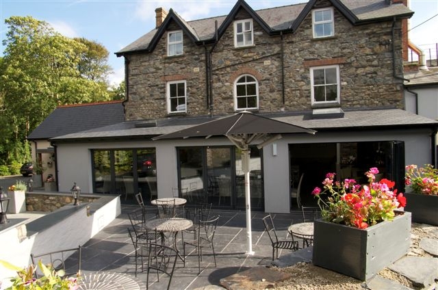


Ael y Bryn
Set in beautiful countryside between Cardigan and Fishguard, a mere four miles from the coastal…

Easy walking to a spectacular hill around some of the most mystical rocks on the planet.
Preseli Hills
5.5 miles (8.8kms)
A circular walk around the most interesting sites of the Preseli Hills is almost impossible. The uplands form an isolated east-west ridge that would at best form one side of a circuit linked with a lengthy road section. Instead, this walk forms a contorted and narrow figure-of-eight that scales the most spectacular hill on the ridge, traces the line of the famous dolerite outcrops, or carns, and then makes an out-and-back sortie to an impressive stone circle.
The Pembrokeshire Coast National Park is best known for its stunning coastline. Britain’s smallest national park is in no single place further than 10 miles (16km) from the sea. This furthest point was a deliberate extension of the boundaries to incorporate one of the most important historic sites in the United Kingdom, the Preseli Hills.
It was from Carn Menyn, one of the rocky tors that crown the marshy and often windswept hills, that the bluestones forming the inner circle of Stonehenge were taken. These bluestones, or spotted dolerite stones to give them their proper name, would have each weighed somewhere in the region of four tonnes and must have been transported over 200 miles (320km) in total. To this day, we cannot explain how or why.
The track that follows the ridge is an ancient road, perhaps dating back over 5,000 years. It’s probable that it was a safe passage between the coast and the settlements inland at a time when wild predators such as bears and wolves roamed the valleys below. Gravestones line the track, most likely those of travellers or traders who were buried where they died, and other standing stones dot the hillsides.
West of Carn Menyn, beneath another impressive outcrop named Carn Bica, there’s a stone circle known as Beddarthur. Small by comparison to Stonehenge or Avebury, its oval arrangement of 2ft–3ft (0.6m–1m) high stones is said to be yet another burial place of King Arthur; ‘bedd’ means grave in Welsh. There are certainly links between the legendary historical superhero and the area; it’s suggested that the King and his knights chased Twrch Trywyth, the magical giant boar, across these hills before heading east.
From the lay-by on the lane from Crymych, walk straight up a stony track opposite. When you reach three gates, keep going straight ahead for another 100yds (91m) or so, and then fork left on to a grassy track, which soon becomes clearer as it winds its way up the hillside. Follow this all the way to the rocky cairns and trig point on Foel Drygarn.
Bear left at the summit and locate a grassy track that drops steeply to the south. Cross the heather-clad plateau beneath, aiming for the left-hand corner of a wood. When you meet the main track, turn right to walk with the edge of the wood on your left.
Leaving the wood, the path climbs slightly to some rocky tors. As you pass the tor to the left of the track, the path forks and you follow the left-hand track to the nearest of the group of outcrops to your left.
This is Carn Gyfrwy. Continue on faint paths to the larger outcrops ahead, then curve right away from the stones and drop slightly to Carn Menyn, the lowest of the bunch, perched precariously on the edge of the escarpment. The path becomes clearer here and drops slightly into a marshy saddle that can be seen ahead.
In the saddle you’ll meet the main track. Turn left and follow it steadily up towards Carn Bica, which is visible on the hillside ahead of you. Just before this, you’ll cross the circle made by the stones of Beddarthur.
Turn around and retrace your steps back to the saddle. Climb slightly to pass the tor where you turned left to Carn Gyfrwy on your way out, ignoring the paths forking right to Carn Menyn, and stay on this main path to walk beside the wood once more, now on your right. At the end of this, continue straight on, following a fence-topped wall to your right, down to the gate. Turn right on to the lane and continue back to the lay-by.
Mainly clear paths across open moorland
Rolling hills topped with rocky outcrops
Care needed near livestock
OS Explorer OL35 North Pembrokeshire
Lay-by on lane beneath Foel Drygarn
None on route
<p>Navigation very difficult in poor visibility</p>
Read our tips to look after yourself and the environment when following this walk.
Wales meets the Atlantic Ocean in spectacular fashion at Pembrokeshire. Unlike the West Country, Pembrokeshire can offer the coast without the crowds, and quaint fishing villages without those huge coach parks. Volcanic eruptions and earth movements have left a tortured rocky coastline of some 160 miles, whose beauty and drama have been recognised by National Park status.
Sometimes known as ‘Little England Beyond Wales’, the county has held a fascination for English visitors ever since the first Norman warlords forced their way in 800 years ago, leaving a string of 50 fine castles in their wake. The anonymous author of The Mabinogion, an 11th-century collection of Welsh folk legends, started it all. His description of the old Celtic kingdom of Dyfed (which encompasses Cardiganshire, Carmarthenshire and Pembrokeshire) as ‘the land of magic and enchantment’ was perhaps the earliest written attempt to sum up the outstanding natural beauty of this wonderful westernmost outpost of Wales. This is a county where you can take it easy on the sandy beaches, make sport out of those Atlantic waves, or discover the mysteries of St David’s or the ancient Preseli Hills.
Discover more than 15,000 professionally rated places to stay, eat and visit from across the UK and Ireland.
Choose a place to stay safe in the knowledge that it has been expertly assessed by trained assessors.
Search by location or the type of place you're visiting to find your next ideal holiday experience.
Read our articles, city guides and recommended things to do for inspiration. We're here to help you explore the UK.


