With the church to your left, follow the lane up to Wonwell Gate and turn right down the lane signed ‘Wonwell Beach’. When it bends sharp right then left, turn left through a gate and straight on, keeping the hedge left. Pass into the next field then keep ahead; follow the sign diagonally right to cross a stile onto a hedged path. Keep along the left edge of the next field and cross a stile. The next stile leads into Furzedown Wood.
Descend through delightful woodland (wonderful bluebells in spring), and into Wrinkle Wood, to meet a lane./p>
Turn left; there is limited parking for the beach. Walk down Wonwell Slipway to look at the Erme estuary, an attractive spot.
Retrace your steps and follow the coast path signs up steps right signed ‘Bigbury-on-Sea’. Follow the narrow wooded path, which leads along the back of Wonwell Beach. Follow the path along the estuary to Muxham Point (with views to Meadowsfoot Beach).
Follow the path eastwards to cross a stile (National Trust Scobbiscombe Farm), then sweep across grassland above Fernycombe Beach onto The Beacon, with views to Burgh Island ahead. Walk on through a small gate above Beacon Beach. Follow the cliff top down and up through another gate above Gutterslide Beach. The path drops into a combe before climbing (via a gate) to a bench on Hoist Point.
Follow the steep and difficult (often slippery) descent to quiet Westcombe Beach. Take care here.
Before the footbridge above the beach turn left, following signs for Kingston. The path runs between a wire fence and a stream; cross a wooden footbridge, right, over the stream and go through a willow plantation. The path twists on through a strip of woodland.
Go through a gate at a path junction and straight on up a pleasant, gradually ascending green lane (‘bridleway to Kingston’). Continue on to pass ponds, keeping straight ahead at a track crossing, with a stream right (the track is muddy in places). The track runs into a tarmac lane, and uphill into Kingston. At the lane end turn right, then left to the church and your car.
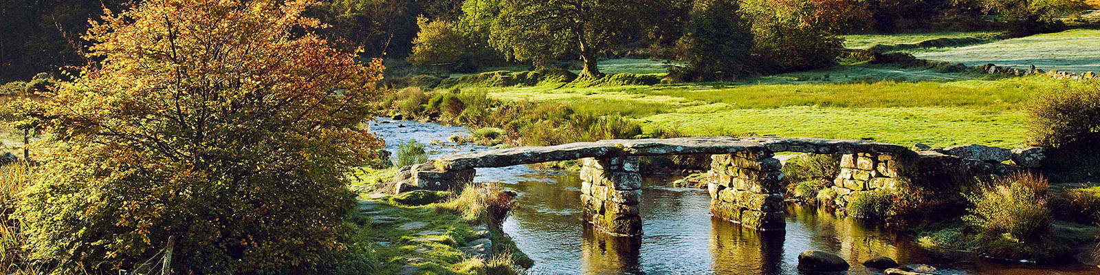
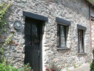
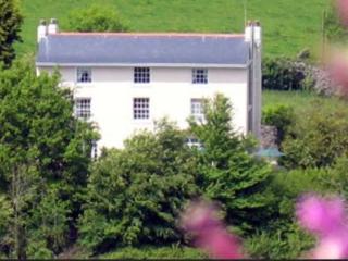
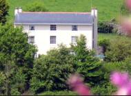
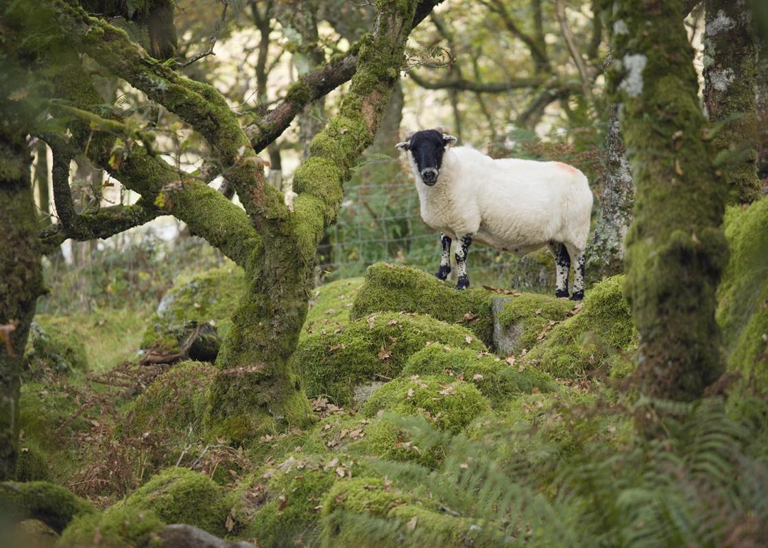
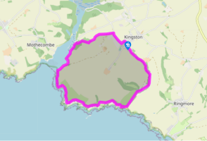
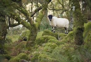
This walk is centred on Kingston and the lovely estuary of the River Erme. Both places are fairly unknown as this part of the South Hams isn’t really on the way to anywhere, and it’s a fairly long trek along narrow, winding lanes to get there. But it’s so worthwhile – you really feel as if you’ve... stumbled on to somewhere special and undiscovered. When you arrive at the Erme estuary it’s easy to believe that nothing much has ever happened here. But the River Erme has a long and interesting history. It rises on Dartmoor, not far south of Nun’s Cross, and runs south to leave the moor at Harford, passing through an area of intensive Bronze Age occupation. There is evidence of hut circles, stone rows and cists and, in later medieval times, tin mining activity. Piles Copse in the upper Erme valley is one of the last three remaining areas of ancient oak woodland on the moor. Further downstream old lime kilns can be found; before the estuary silted up, small vessels were able to import coal and limestone here. A river pilot was needed to navigate the waters, and the remains of his cottage can be seen at the back of Wonwell Beach today. The only way across the river is by wading; coast path signs indicate where it’s possible to cross at low tide. The lands on the opposite side of the Erme are within the Flete Estate and were used for much of the filming of Ang Lee’s adaptation of Jane Austen’s Sense and Sensibility (1995), starring Emma Thompson and Kate Winslet. The grand, 19th-century, Grade I listed Flete House has been converted to retirement apartments and many of the original buildings (large and small) are now stunning holiday rentals.
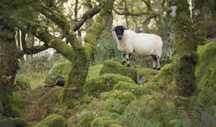
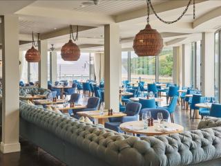
Devon sums up all that is best about the British landscape, with its magnificent coastlines, two historic cities, the world-famous Dartmoor National Park and south Devon’s glorious English Riviera. A fashionable and much-loved holiday destination, hiking and cycling in the National Parks is extremely popular among visitors, with a great choice of off-road routes.
With the church to your left, follow the lane up to Wonwell Gate and turn right down the lane signed ‘Wonwell Beach’. When it bends sharp right then left, turn left through a gate and straight on, keeping the hedge left. Pass into the next field then keep ahead; follow the sign diagonally right to cross a stile onto a hedged path. Keep along the left edge of the next field and cross a stile. The next stile leads into Furzedown Wood.
1 of 8
Descend through delightful woodland (wonderful bluebells in spring), and into Wrinkle Wood, to meet a lane./p>
2 of 8
Turn left; there is limited parking for the beach. Walk down Wonwell Slipway to look at the Erme estuary, an attractive spot.
3 of 8
Retrace your steps and follow the coast path signs up steps right signed ‘Bigbury-on-Sea’. Follow the narrow wooded path, which leads along the back of Wonwell Beach. Follow the path along the estuary to Muxham Point (with views to Meadowsfoot Beach).
4 of 8
Follow the path eastwards to cross a stile (National Trust Scobbiscombe Farm), then sweep across grassland above Fernycombe Beach onto The Beacon, with views to Burgh Island ahead. Walk on through a small gate above Beacon Beach. Follow the cliff top down and up through another gate above Gutterslide Beach. The path drops into a combe before climbing (via a gate) to a bench on Hoist Point.
5 of 8
Follow the steep and difficult (often slippery) descent to quiet Westcombe Beach. Take care here.
6 of 8
Before the footbridge above the beach turn left, following signs for Kingston. The path runs between a wire fence and a stream; cross a wooden footbridge, right, over the stream and go through a willow plantation. The path twists on through a strip of woodland.
7 of 8
Go through a gate at a path junction and straight on up a pleasant, gradually ascending green lane (‘bridleway to Kingston’). Continue on to pass ponds, keeping straight ahead at a track crossing, with a stream right (the track is muddy in places). The track runs into a tarmac lane, and uphill into Kingston. At the lane end turn right, then left to the church and your car.
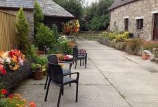
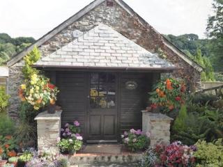
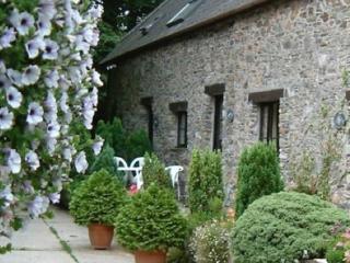
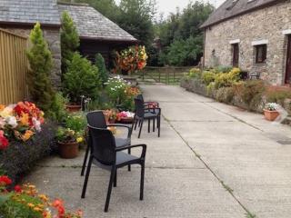
This walk is centred on Kingston and the lovely estuary of the River Erme. Both places are fairly unknown as this part of the South Hams isn’t really on the way to anywhere, and it’s a fairly long trek along narrow, winding lanes to get there. But it’s so worthwhile – you really feel as if you’ve... stumbled on to somewhere special and undiscovered. When you arrive at the Erme estuary it’s easy to believe that nothing much has ever happened here. But the River Erme has a long and interesting history. It rises on Dartmoor, not far south of Nun’s Cross, and runs south to leave the moor at Harford, passing through an area of intensive Bronze Age occupation. There is evidence of hut circles, stone rows and cists and, in later medieval times, tin mining activity. Piles Copse in the upper Erme valley is one of the last three remaining areas of ancient oak woodland on the moor. Further downstream old lime kilns can be found; before the estuary silted up, small vessels were able to import coal and limestone here. A river pilot was needed to navigate the waters, and the remains of his cottage can be seen at the back of Wonwell Beach today. The only way across the river is by wading; coast path signs indicate where it’s possible to cross at low tide. The lands on the opposite side of the Erme are within the Flete Estate and were used for much of the filming of Ang Lee’s adaptation of Jane Austen’s Sense and Sensibility (1995), starring Emma Thompson and Kate Winslet. The grand, 19th-century, Grade I listed Flete House has been converted to retirement apartments and many of the original buildings (large and small) are now stunning holiday rentals.
Devon sums up all that is best about the British landscape, with its magnificent coastlines, two historic cities, the world-famous Dartmoor National Park and south Devon’s glorious English Riviera. A fashionable and much-loved holiday destination, hiking and cycling in the National Parks is extremely popular among visitors, with a great choice of off-road routes.