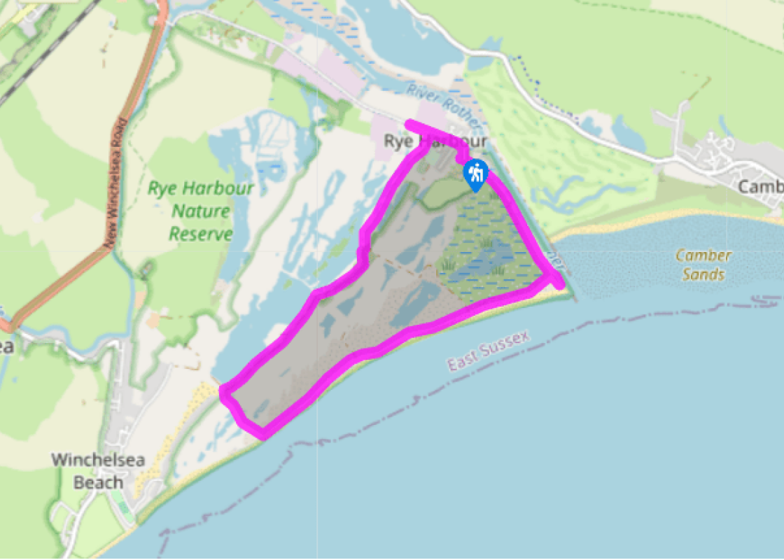
Lagoons at Rye Harbour
Recommended by

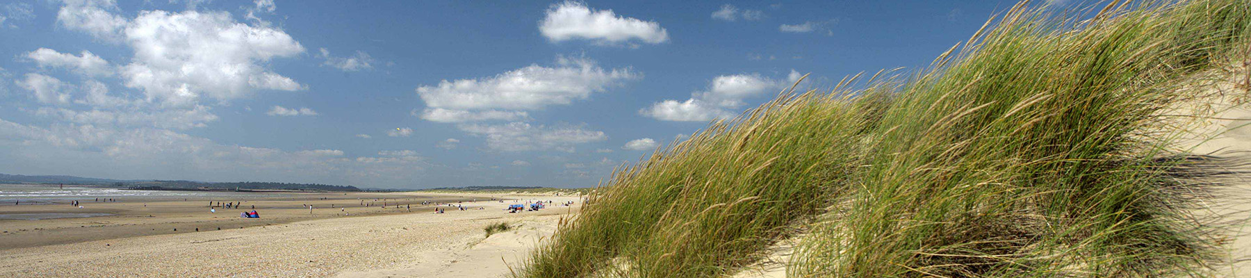
"Wide skies, lonely seas and lagoons form the backdrop to this remote coastal walk, which is excellent for birding."
Walk directions
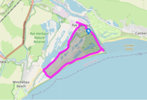
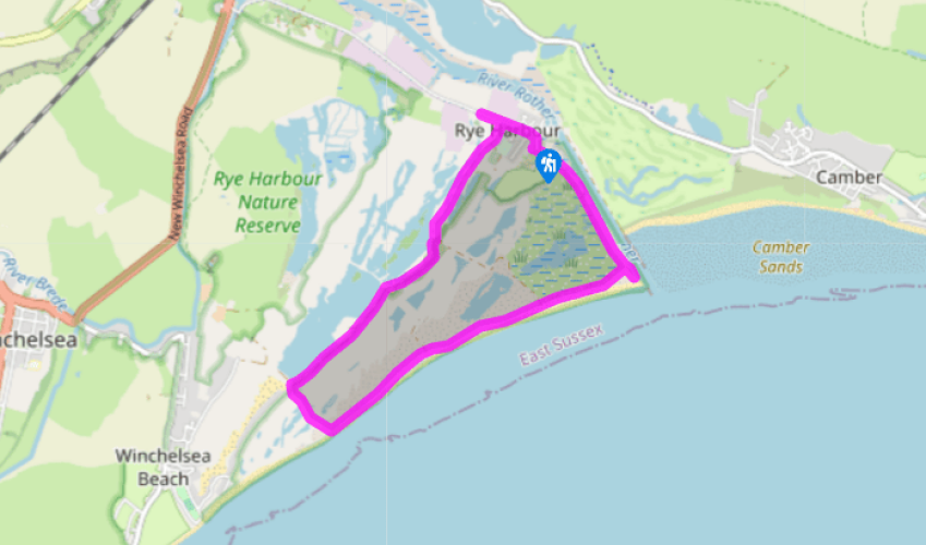
Keeping the Martello Tower and the entrance to the holiday village on your right, enter Rye Harbour Nature Reserve. The Rother can be seen on the left, running parallel to the path, with a wind farm visible behind. Head for the Rye Harbour Nature Reserve information centre and continue on the firm path, with the Rother still visible on the left. The expanse of Camber Sands, a popular holiday destination, nudges into view beyond the river mouth.
Near the river mouth, the route continues to the right along a private road marked with a 20mph sign, but first make a detour to the beach. Return to the junction and follow the private road, which has permissive access for walkers, and cuts between wildlife sanctuary areas where access is not allowed. Pass the entrance to the New Crittall hide on the right. From here there are superb views over Ternery Pool, and Rye’s jumble of houses can be seen sprawling over the hill in the distance. Continue west on the private road, which gradually edges nearer the shore.
View all directions
Additional information
Terrain
- Level paths and good, clear tracks
Landscape
- Mixture of shingle expanses and old gravel workings, now part of a local nature reserve
Dog friendliness
- Dogs on lead within Rye Harbour Nature Reserve
Parking
- Free car park at Rye Harbour
Toilets en route
- Rye Harbour –turn left out of the car park.
About the walk
Turn the clock back to the dark days of World War II, and you would find Rye Harbour a very different place. Blockhouses for machine guns littered the coast, and barbed wire and landmines made it a ‘no go’ area. During the hours of darkness, great searchlights swept across the night sky; they were...
Read more

Been on this walk?
Send us photos or a comment about this route. Or recommend a route of your own.

Walking in Safety
Read our tips to look after yourself and the environment when following this walk.

Get an AA guide
Explore our range of ‘50 Walks in’ guides - they’re the ideal companion for a ramble.
Been on this walk?
Send us photos or a comment about this route. Or recommend a route of your own.
Walking in Safety
Read our tips to look after yourself and the environment when following this walk.
Get an AA guide
Explore our range of ‘50 Walks in’ guides - they’re the ideal companion for a ramble.
About the area
East Sussex is a land of stately homes, castles and the South Downs, with miles of chalk cliffs overlooking the English Channel. For history buffs, there are a great many historic landmarks within Sussex, such as the battlefield where the Battle of Hastings took place, or visitors can enjoy pretty towns such as Lewes, Rye and Uckfield and the city of Brighton.
Nearby places to stay
View all (8)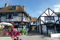


Nearby places to stay
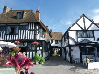
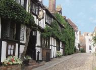
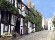
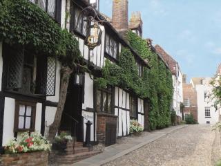
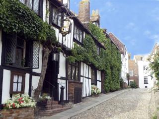
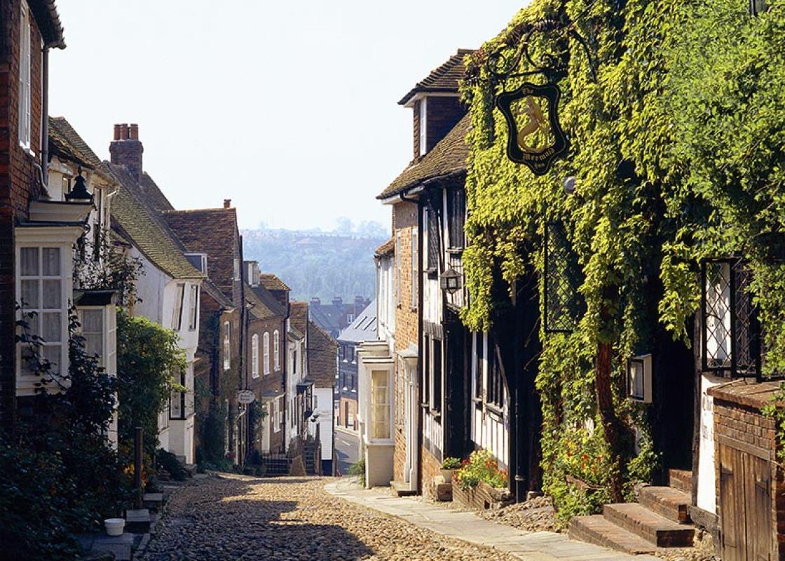
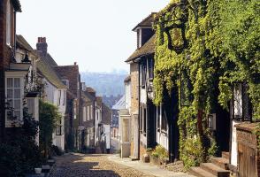
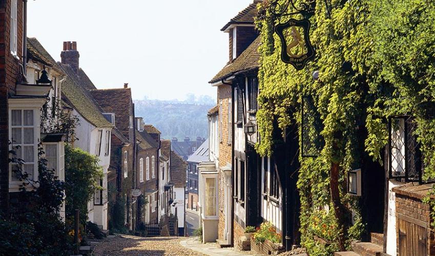
Mermaid Inn
Situated near the top of a cobbled side street, the Mermaid Inn is a famous smugglers' inn steeped in history, dating back to 1450 with 12th-century cellars. The charming interior has m...
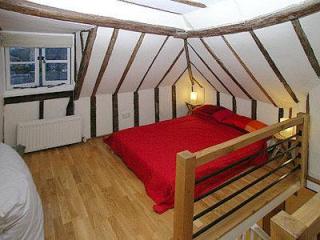
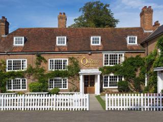
The Quarter House
The Quarter House is two-storey property dating back to the 1700s and makes for a cosy spot from which to explore Rye. Visit the Rye Castle Museum and 14th-century Ypres Tower, take in ...
The Quarter House
The Quarter House is two-storey property dating back to the 1700s and makes for a cosy spot from which to explore Rye. Visit the Rye Castle Museum and 14th-century Ypres Tower, take in ...
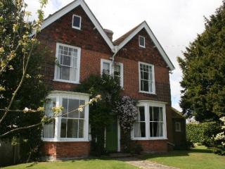
The Highlands
Only small, but Iden has a pub serving food, and a post office and general stores, so guests in this secluded Victorian holiday home won’t starve. The three-quarter acre garden has a ha...
The Highlands
Only small, but Iden has a pub serving food, and a post office and general stores, so guests in this secluded Victorian holiday home won’t starve. The three-quarter acre garden has a ha...
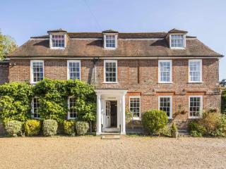
Flackley Ash Hotel
Flackley Ash is a cosy Georgian country house hotel, nestled deep in the Sussex countryside in the rural village of Peasmarsh. On offer are garden suites, four-poster rooms, an á la car...
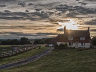
Coldharbour Cottage with Hot Tub
Coldharbour Cottage was built way back in the 1760s. It retains many of its original features whilst maintaining a high standard of accommodation throughout. The original oak beams, ing...
Coldharbour Cottage
Coldharbour Cottage was built way back in the 1760s. It retains many of its original features whilst maintaining a high standard of accommodation throughout. The original oak beams, ing...
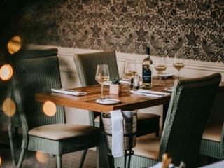
Places to eat nearby View all