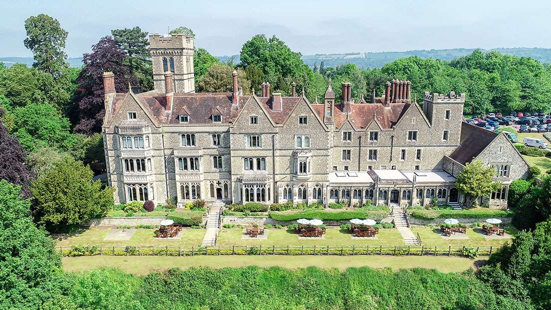
On the slopes of Reigate Hill, Reigate Manor is ideally located for access to the town and for…
Leigh and the Upper Mole Valley

4.2 miles (6.8kms)
About the walk
Leigh is one of those places that seems happy for history to pass it by. Indeed, part of its charm is that so little seems to have happened here recently. The walk starts on the picturesque village green, where the pub, church and adjoining Priest’s House all have their origins in the 15th century. Just up the road, Leigh Place may be older still; but in 1530 it was sold to Edward Shelley, an ancestor of the Romantic poet. The sale deed records the village as ‘Lye’ – and that’s how the name is pronounced. In Tudor times, Leigh was in the heart of Surrey’s Black Country. There was a small iron-smelting furnace or ‘bloomery’, with water-powered hammers, near Hammer Bridge, to the south of Clayhill Farm. Later the dramatist Ben Jonson is said to have lived at Swain’s Farm; but by then the place was so quiet that an early 20th-century writer wondered what on earth he could have found to do there.
What's the point?
To put Leigh on the map, you must climb to the top of the low hill above Swains Farm. Here, about a mile into your walk, you’ll come to a curious concrete pillar standing aloof near the middle of the field. The column is just one of around 6,500 ‘triangulation pillars’ that, until very recently, formed the basic framework for all Ordnance Survey mapping. Triangulation relies on a network of triangles with precisely measured sides and angles, like the frame of those glass geodesic domes that were popular in the 1970s.
It all started in the reign of George III, when Major General William Roy was commissioned by the Royal Society to measure the first baseline on Hounslow Heath, now the site of Heathrow Airport. Roy had campaigned for a national mapping authority, but he died in 1790, a year before the Ordnance Survey was founded. The new organisation built on Roy’s work to complete the triangulation of Great Britain, and published its first one-inch-to-the-mile maps during the early years of the 19th century. These were to become the Ordnance Survey’s flagship products, until they were replaced by the Landranger maps in the mid-1970s. On the top of the triangulation pillar, you’ll see the metal fitment where generations of surveyors have fixed their theodolites to check the location of similar pillars on the surrounding hills. But time marches on and GPS has transformed map-making technology, consigning most of these hilltop pillars to the history books.
Walk directions
Start at the village pump on the green and take the signed footpath through the churchyard, through a kissing gate and then across a field to reach a footbridge. Cross the brook, and the waymarked stile and plank bridge 40yds (37m) further on, then continue with the hedge on your right to just beyond the far corner of the field. Cross the stile and plank bridge and turn left onto the blue-waymarked bridleway. After 100yds (91m), continue ahead, bearing right through a waymarked gate, and immediately turn half right across the field to a stile. Cross the next field to a stile beside a wood at the base of a small slope. Turn right over a stile, and up a short hill beside the woods. At the brow, you’ll come to a stile; don’t cross it, but turn right, towards the triangulation pillar (or trig point) across the field. There are some fine views from here.
Turn hard left at the trig point and double back to the far corner of the field. If you keep straight on beside the hedge you were following earlier, you are trespassing! Cross the stile in the corner of the field, then follow the succession of three waymarked stiles, two of which are alongside the driveway to Dene Farm, then cross the farm drive. Bear half right here, and cross the field to a plank bridge and stile. Continue through the next field and out onto Deanoak Lane.
Turn left. Then, just beyond the double bend, turn left again, up the lane towards Stumblehole Farm. Follow the lane straight past Stumblehole and Tamworth farms and through a small patch of woodland, then bear left at the three-way signpost onto a concrete/gravel road. Continue past Moon Hall School; then, 55yds (50m) beyond Keepe’s Cottage, look out for a waymarked stile on your right. Cross this and bear away beside the infant River Mole. Once through the gap, turn sharp right and over a wooden footbridge, with a stile at either end, across a field and stile then out onto Flanchford Road.
Turn left to reach Little Flanchford Cottages. A few paces further on, take the footpath on your left, and cross a footbridge and then a stile after 150yds (137m). Bear right over a footbridge and follow the hedge on the right-hand side, over a stile and beneath the power lines and into a third field. Walk diagonally to your left across the fourth field, to a kissing gate. Turn left here for the last 100yds (91m) along the road and back to the start.
Additional information
Field-edge and cross-field paths, 14 stiles
Low-lying, small-scale agricultural scenery
Keep on lead near livestock; extra care required where bulls may be grazing in fields along the route
OS Explorer 146 Dorking, Box Hill & Reigate
Layby between The Plough and church in Leigh
None on route
WALKING IN SAFETY
Read our tips to look after yourself and the environment when following this walk.
Find out more
Also in the area
About the area
Discover Surrey
Surrey may be better known for its suburbia than its scenery, but the image is unjust. Over a quarter of the county’s landscapes are official Areas of Outstanding Natural Beauty, and along the downs and the greensand ridge you can gaze to distant horizons with hardly a building in sight. This is one of England’s most wooded counties, and has more village greens than any other shire. You’ll find sandy tracks and cottage gardens, folded hillsides and welcoming village inns. There’s variety, too, as the fields and meadows of the east give way to the wooded downs and valleys west of the River Mole.
Of course there are also large built-up areas, mainly within and around the M25; but even here you can still find appealing visits and days out. On the fringe of Greater London you can picnic in Chaldon’s hay meadows, explore the wide open downs at Epsom, or drift idly beside the broad reaches of the stately River Thames. Deep in the Surrey countryside you’ll discover the Romans at Farley Heath, and mingle with the monks at England’s first Cistercian monastery. You’ll see buildings by great architects like Edwin Lutyens and Sir George Gilbert Scott, and meet authors too, from John Donne to Agatha Christie.
Nearby stays
Restaurants and Pubs
Nearby experiences
Recommended things to do
Why choose Rated Trips?
Your trusted guide to rated places across the UK
The best coverage
Discover more than 15,000 professionally rated places to stay, eat and visit from across the UK and Ireland.
Quality assured
Choose a place to stay safe in the knowledge that it has been expertly assessed by trained assessors.
Plan your next trip
Search by location or the type of place you're visiting to find your next ideal holiday experience.
Travel inspiration
Read our articles, city guides and recommended things to do for inspiration. We're here to help you explore the UK.


