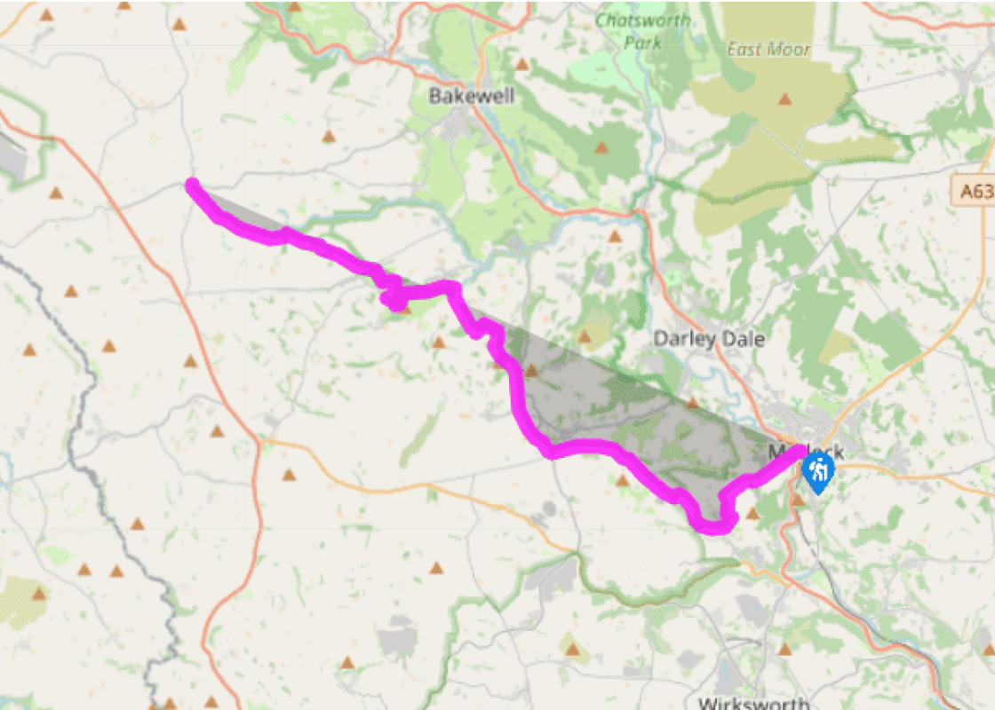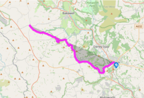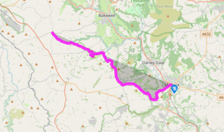
Limestone Way: Matlock to Monyash
Matlock Bath, approximately 1.5 miles (2.4km) south of Matlock along the A6, has numerous tourist attractions and, if wished, the route of the Limestone Way can be joined from there instead, by climbing directly up the Heights of Abraham and joining a footpath signposted to Bonsall.
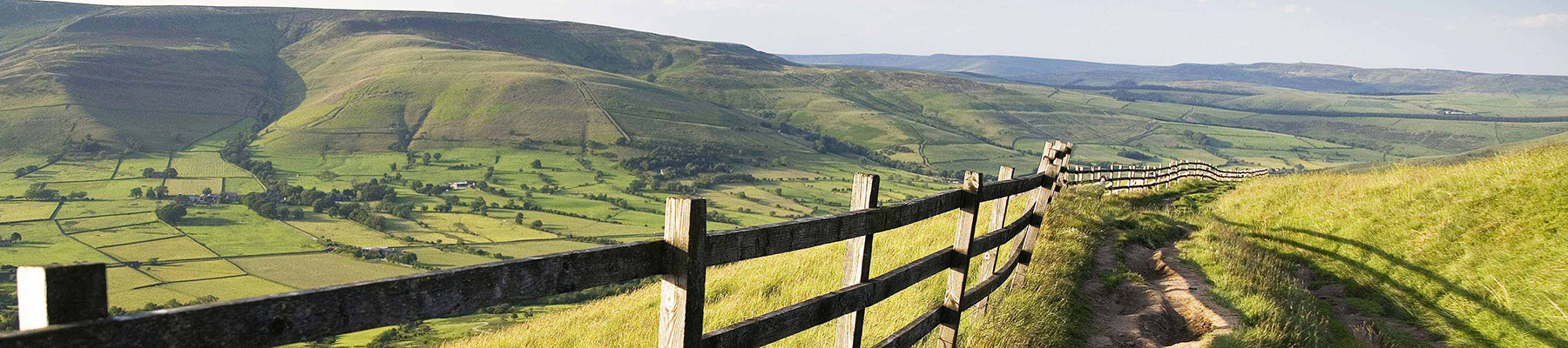
From Matlock Bridge, the route heads up the minor Snitterton road, then soon branches off left to climb steeply and follow a footpath across fields towards Masson Lees Farm. Keeping right along field boundaries over Masson Hill, the route joins a narrow walled lane which leads down into Bonsall, the first of several delightful villages.
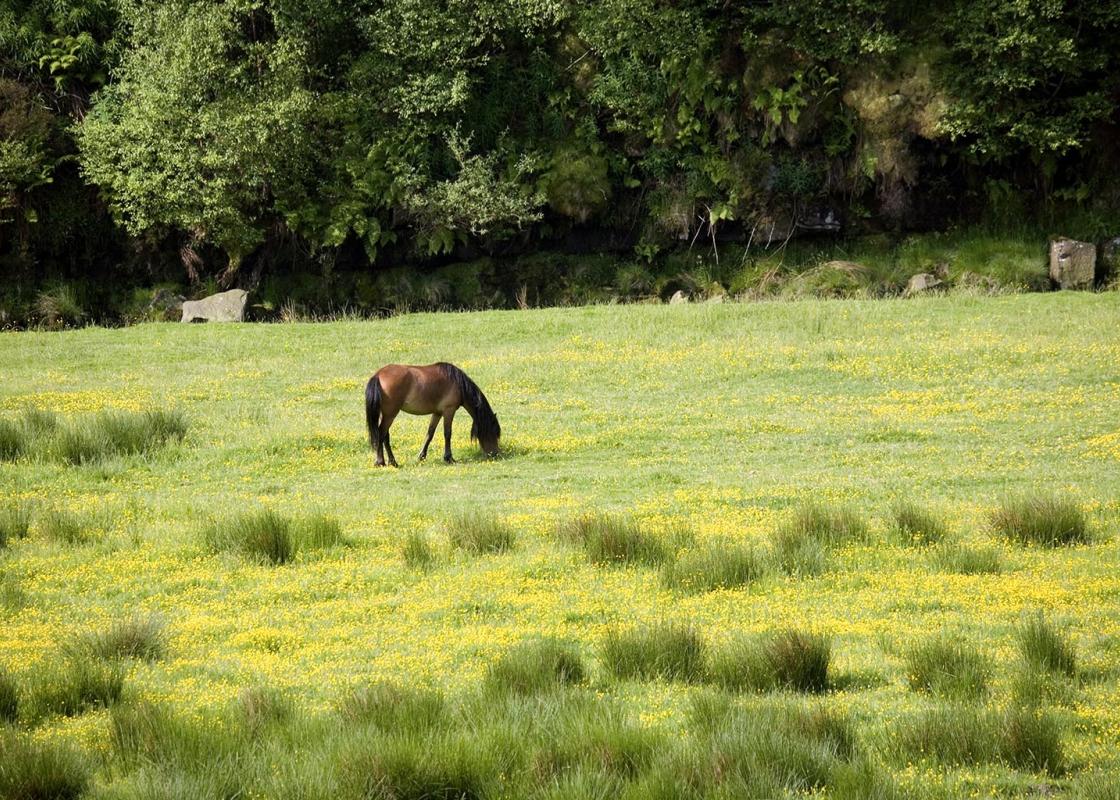
Like many Derbyshire villages, Bonsall takes part in an annual well-dressing ceremony during the summer. Believed to be an early Christian custom based on pagan worship of water gods, the ceremony has now become highly specialized, with well-dressings being set in large wooden frames lined with clay and using flowers, foliage, berries, mosses, bark, cones, vegetables, wool and other suitable organic materials. Nothing synthetic is used. The wells are then blessed at a special service, and remain dressed for several days. From Bonsall, the route follows a narrow walled track that leads up through fields to Upper Town. It then goes ahead along a lane and at the bend by Hollies Farm Plant Centre follows a waymarked public footpath across fields, past Bromlea Farm. After dipping gently downhill it crosses a quiet road near Blakelow Farm, then leads over more walled fields across Bonsall Moor, where care is needed in looking out for both stiles and waymarks to find the correct route past Luntor Rocks. This area is renowned for its traditional stone field barns, as well as the grassed-over remains of disused mines.

Been on this walk?
Send us photos or a comment about this route. Or recommend a route of your own.

Walking in Safety
Read our tips to look after yourself and the environment when following this walk.

Get an AA guide
Explore our range of ‘50 Walks in’ guides - they’re the ideal companion for a ramble.
Been on this walk?
Send us photos or a comment about this route. Or recommend a route of your own.
Walking in Safety
Read our tips to look after yourself and the environment when following this walk.
Get an AA guide
Explore our range of ‘50 Walks in’ guides - they’re the ideal companion for a ramble.
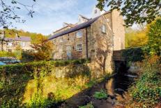
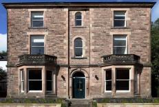
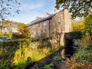
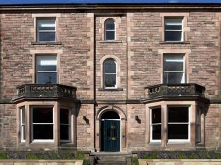
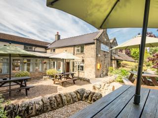
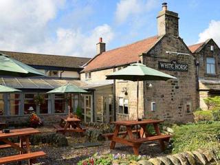
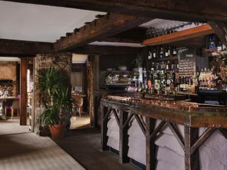
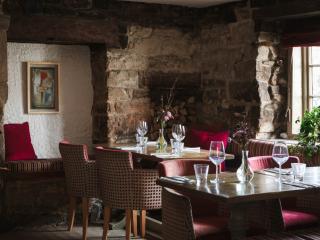
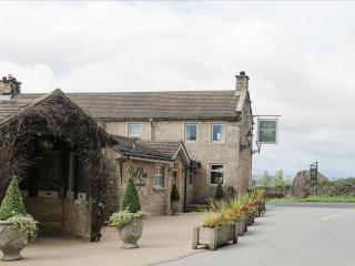
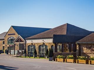
Nearby places to stay
View all (8)